Overview
About Cable Line Overlook
Why stop
- A surviving cable hoist adds an industrial-history story to the canyon view.
Heads up
- It takes a remote, difficult trail approach with spotty cell service.
Map
Where it is

The highest, rockiest slopes around here are a summer buffet for grizzly bears.
Dead Horse Point Tour Guide
Your drive to Cable Line Overlook, narrated.
Parkwolf is a GPS audio tour guide for Dead Horse Point State Park. As you drive, it chimes in with what’s ahead: hidden gems, upcoming stops, history, geology, and wildlife, right through your car’s speakers.
Recorded for this place
Intrepid Trailhead and Cable Line“You're approaching the Intrepid trailhead, the access for a longer outing to the Cable Line hoist. Its rusted tripod and pulley helped oil workers lift equipment from the river in the early nineteen fifties.”
Plays as you drive up to Cable Line Overlook in the Parkwolf Dead Horse Point Tour Guide.
More stories near here in the app
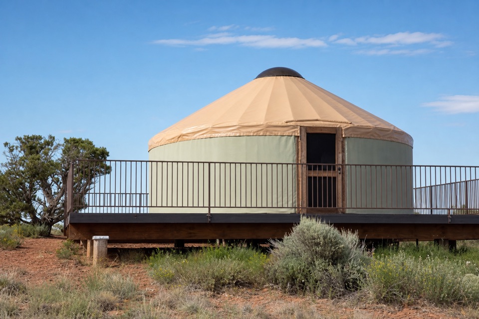
- Moenkopi Yurts
- Visitor Center Rim Trails
- Visitor Center and Desert View
- The Dark Skin on the Cliffs
- 11 audio storiesacross Dead Horse Point’s roads, triggered by GPS as you drive
- Wildlife heatmapsfor Raven, Whiptail Lizard, Fence Lizard, and 1 more
- Works offlinemaps, 21 trails, 22 places, and audio download before you lose signal
- CarPlay readysimple controls built for the drive
“Fantastic app with many points of information… It’s great to just turn on while you’re driving and it gives you an audio tour of the national Park. We love it!!!!”


Guide
More about Cable Line Overlook
A rim stop with a storyAt Cable Line’s eastern terminus, a rusted cable-hoist tripod and pulley mark a small mesa-rim…
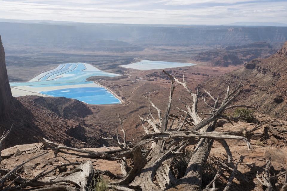
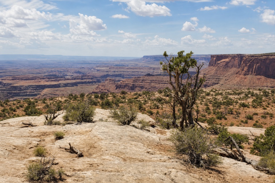
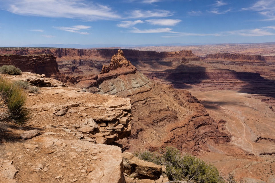
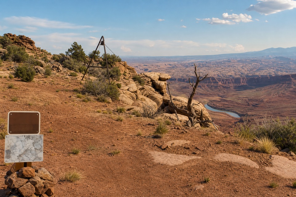
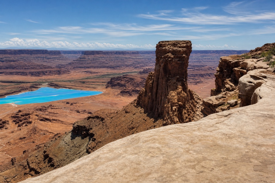
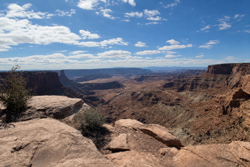
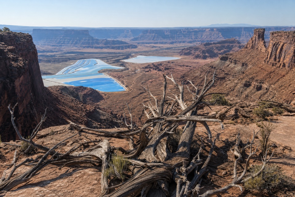
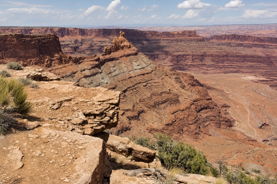
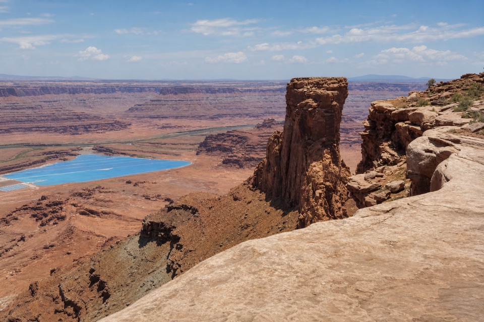
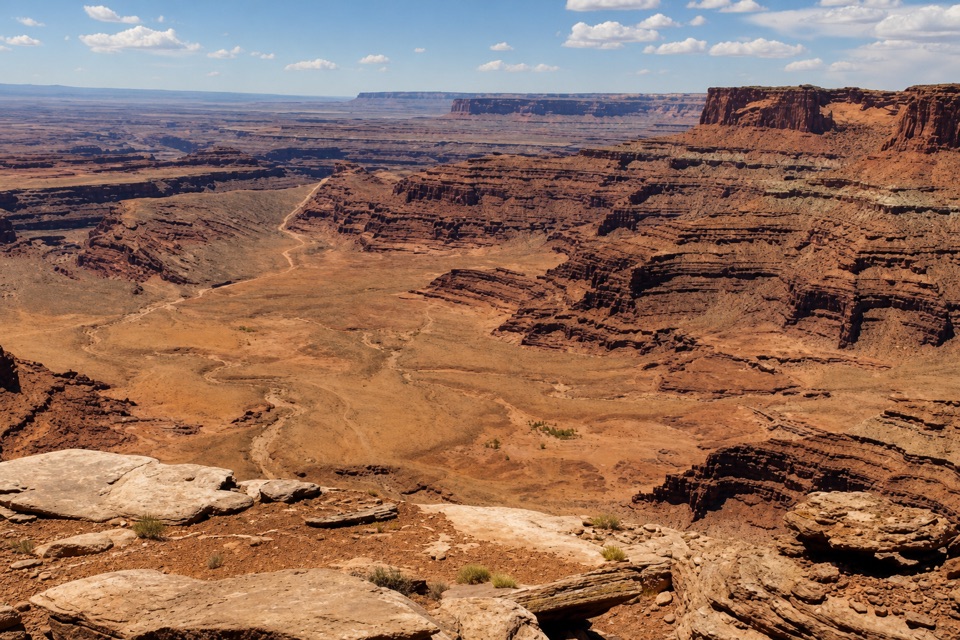
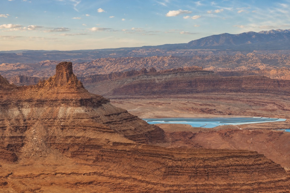
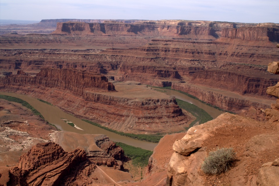
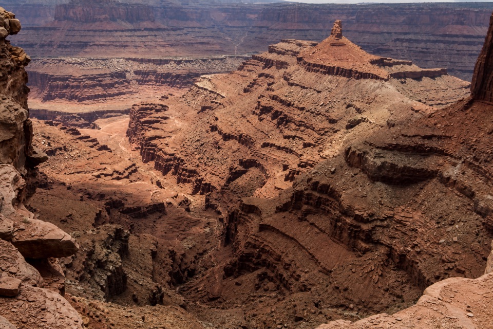
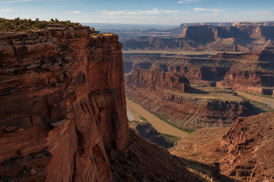
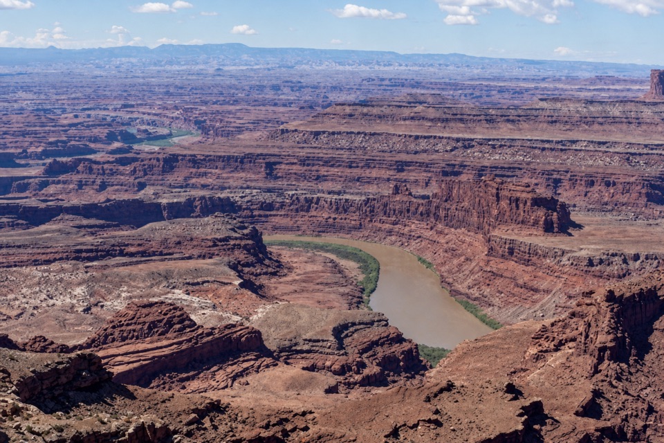
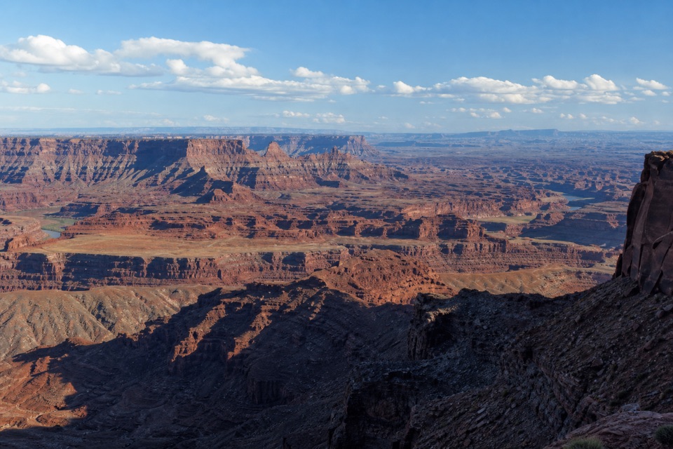
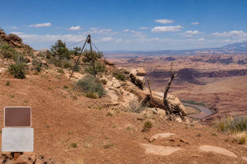
At Cable Line’s eastern terminus, a rusted cable-hoist tripod and pulley mark a small mesa-rim viewpoint above the Colorado River canyon. The river and bright potash evaporation ponds sit below. I’d keep it on the list if you have time for the far-east trails and like unusual industrial history; it’s a remote route, not a quick roadside pullout.
Getting to the endpointFrom the Visitor Center area, the route follows Intrepid and Great Pyramid to Big Chief and…
From the Visitor Center area, the route follows Intrepid and Great Pyramid to Big Chief and Miner’s Point, then connects to Upper Dark Horse and heads east on Cable Line. The main trailhead is a mile south of the Entrance Station; there’s also access from the north side of Visitor Center parking. The park treats all trails in this far-east section as difficult, with scattered obstacles. Know basic route-finding, check the junction maps, and plan for spotty cell reception. A park day-use fee applies, and dogs on the mountain-biking trails must stay leashed.
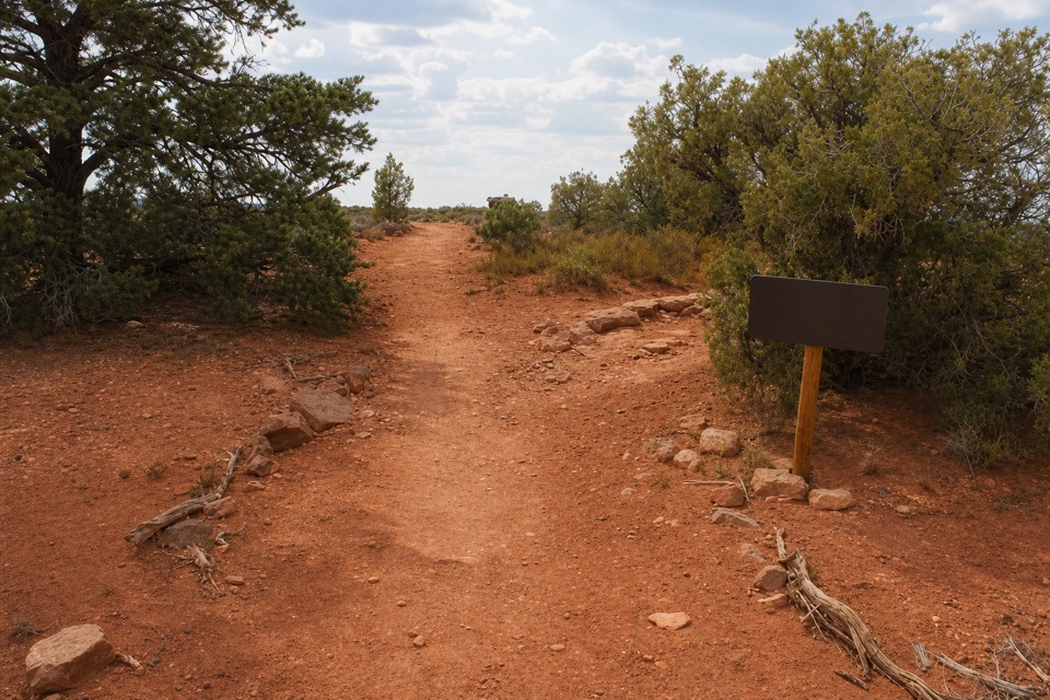
The last stretchCable Line changes from doubletrack to dirt singletrack and Kayenta slickrock.
Cable Line changes from doubletrack to dirt singletrack and Kayenta slickrock. The marked line can take attention on the slickrock. Near the mesa end, follow the cable toward the support structure; a side path turns off to the right. Take care around the rim and leave the old hardware and wood where they are.
Frame the machinery with the canyonFrom the viewpoint, the rusted tripod and pulley sit above the Colorado River and potash ponds,…
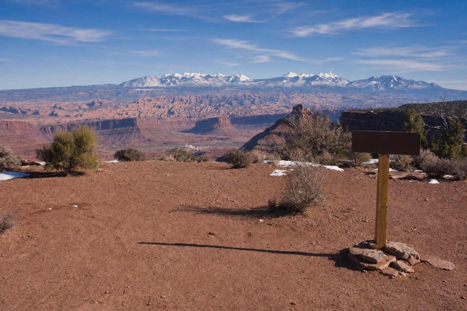
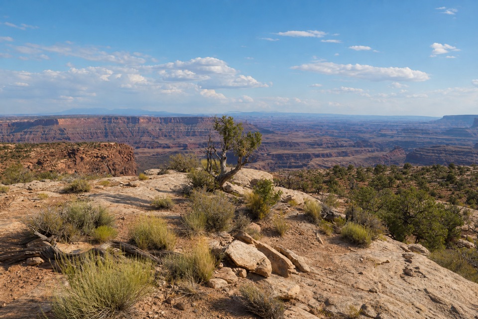
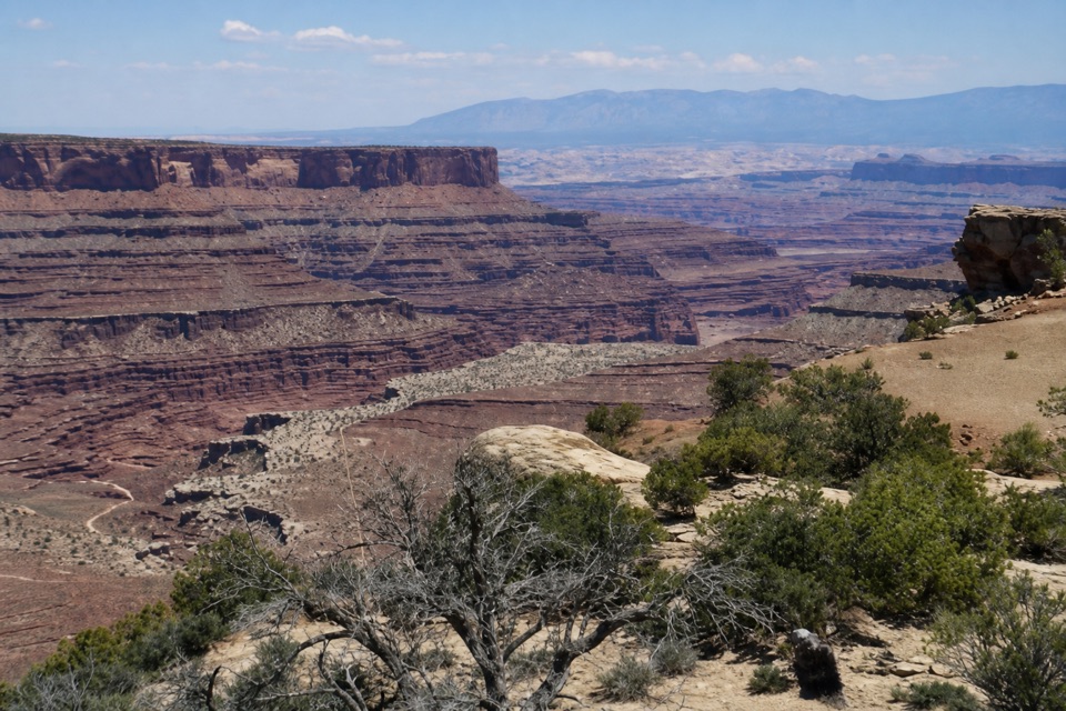
From the viewpoint, the rusted tripod and pulley sit above the Colorado River and potash ponds, with the La Sal, Abajo and Henry Mountains on the distant horizon. Put the hoist in the foreground and the ponds in the same frame to connect the old machinery to the landscape it served.
The cable system and the oil projectIn the early 1950s, Americol Petroleum developed the Mason No. 1 well near the Colorado River.
In the early 1950s, Americol Petroleum developed the Mason No. 1 well near the Colorado River. With no road to the site, a cable-hoisting system helped move equipment up to Big Flat Mesa. The company built a 16,000-foot flow line to storage tanks three miles away and 1,760 feet higher; tripods, pulleys and about 900 feet of braided cable helped with construction. The line was finished by spring 1951, became obsolete after Potash Road was completed that year, and the well was out of service by 1953. The pipe is gone, but the cable structure and fragments remain.
Wildlife
Wildlife in Dead Horse Point
 33 sightingsRavenMost seen around 6 PMSighting map
 16 sightingsWhiptail LizardMost seen around 10 AMSighting map
 34 sightingsFence LizardMost seen around 8 AMSighting map
 42 sightingsSide-blotched LizardMost seen around 9 AMSighting map
Sighting maps show where each species has been reported across Dead Horse Point. Wildlife moves, so no sighting is guaranteed.