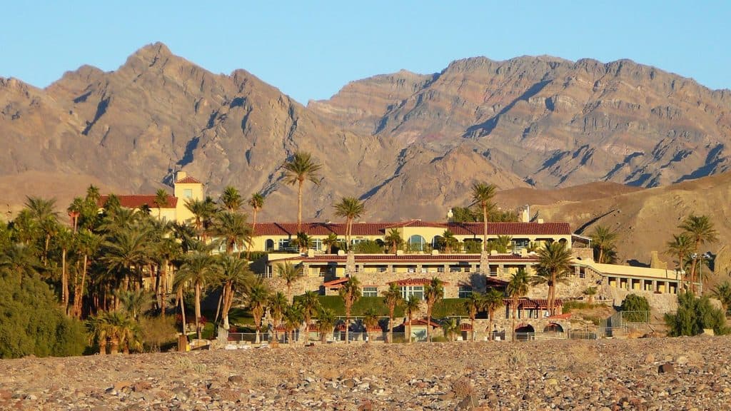
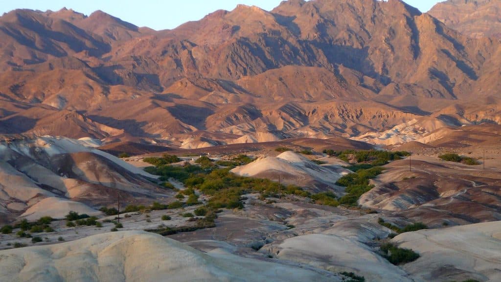
Echo Canyon in Death Valley National Park

Sight · Death Valley National Park

Echo Canyon

Rugged canyon drive to arches and the photogenic Inyo Mine ruins

Photo: National Park Service
Type
Sight
Nearest trail
1.6 mi
Audio stories
1 nearby
  • Parking
  • Scenic viewpoint
  • #28 of 74 sights

Hear the audio tour

Zabriskie Point: A Famous View and a Trail into the Badlands

Overview

About Echo Canyon

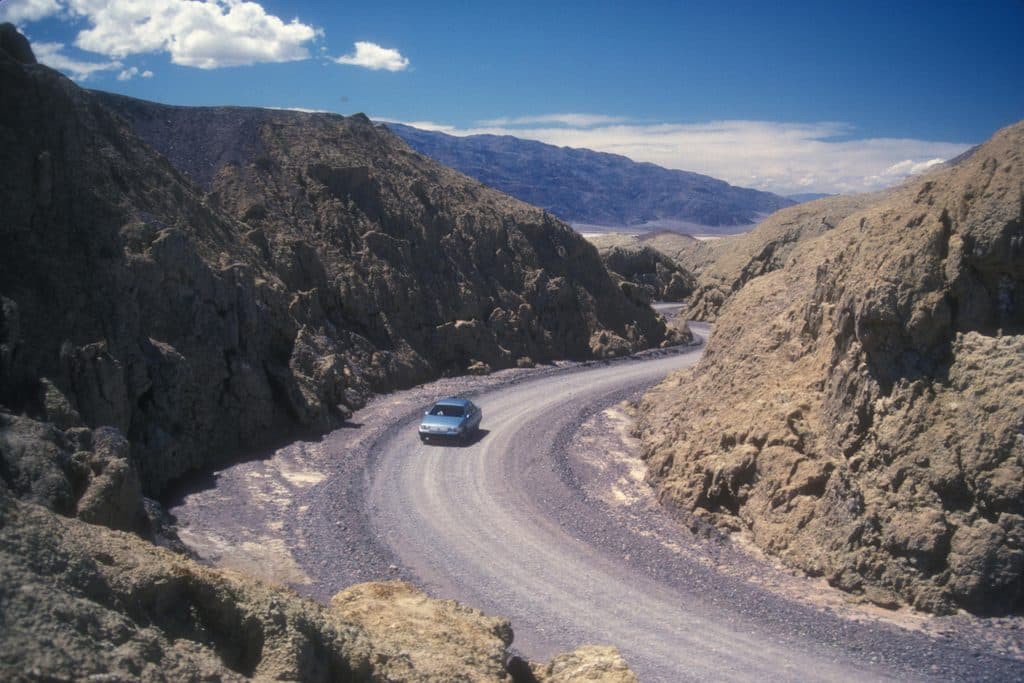
Echo Canyon is a rugged backcountry drive threading the Funeral Mountains to the historic Inyo Mine. It’s all about big desert drama: steep-walled narrows, tilted multicolored rock layers, and a photogenic rock window often called the Eye of the Needle. If you’re after solitude, scenery, and a dose of mining-era relics, this is a worthy half‑day adventure.

Why stop

  • Photogenic Inyo Mine ruins and desert mining history
  • Striking geology with narrows, colorful layers, and a rock window

Heads up

  • Rough, variable road that requires high‑clearance 4x4 beyond the early miles
  • No services or restrooms anywhere along the route
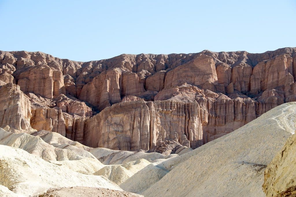
Geology on display: sculpted narrows, arches, and vividly banded strata.
Parkwolf’s verdictWhy Go

Map

Where it is

Loading the Death Valley map
Full map
SightEcho Canyon36.44365, -116.80728
Keep this map with you offline in the Parkwolf app

Local know-how

Tips for visiting Echo Canyon

  1. Check road status after storms; conditions change quickly with flash floods.

  2. Look for the Eye of the Needle on the drive back out of the canyon.

  3. Plan about 2 hours for roughly 20 miles round‑trip to the Inyo Mine.

  4. There are no restrooms or services—bring all water, food, and a spare tire.

  5. A free backcountry permit is required for camping; ruins are unstable, explore carefully.

Plan your stop

Before you go

Best time to visit

Early and late light make the canyon’s colors pop, and sunrise/sunset are prime for photography. It’s a year‑round destination for prepared drivers, but cooler months are far more comfortable. Crowds are usually light any day of the week.

Getting There & Road Conditions

The road starts off CA‑190 and heads roughly 10 miles to the mine. Expect an unpaved, bumpy track. The first few miles are generally manageable for high‑clearance vehicles, but conditions ramp up—beyond that, a proper 4x4 and good tire placement matter. Flash floods can reshape the road overnight, so what’s easy one week can be rough the next. There’s a small parking area at the start, but don’t count on facilities.

3 active Death Valley alerts

  • ClosurePark roads closed or hazardousPlan around multiple closed roads and use extra caution on damaged routes. - Paved roads: North Highway and Beatty Cut-off are closed due to flooding and debris from the October 22 storm.Official details
  • ClosureSaline Valley Lower Springs closed after wildfireLower Springs at Saline Valley Warm Springs remains closed after the September 15 wildfire; stay out because the fire left safety hazards, including potential hazardous chemicals.Official details
See all 3 alerts
A park ranger sits on a dash-mounted phone, talking, as Parkwolf’s Tour Guide plays “Army Cutworm Moths: A Grizzly Bear Buffet” on Grand Loop Road below Dunraven Pass in Yellowstone
Parkwolf Tour GuideThe highest, rockiest slopes around here are a summer buffet for grizzly bears.

Death Valley Tour Guide

Your drive to Echo Canyon, narrated.

Parkwolf is a GPS audio tour guide for Death Valley National Park. As you drive, it chimes in with what’s ahead: hidden gems, upcoming stops, history, geology, and wildlife, right through your car’s speakers.

See the Death Valley audio tour

Recorded for this area

Zabriskie Point: A Famous View and a Trail into the Badlands
Listen
“You're approaching Zabriskie Point, which offers what might be the single most famous view in Death Valley. A short paved path leads to an overlook with a huge panorama of colorful, rippling badlands.”

Plays on the road 1.7 mi from Echo Canyon in the Parkwolf Death Valley Tour Guide.

More stories near here in the app

  • A Roller-Coaster Drive Through Twenty Mule Team Canyon
  • The Historic Inn at Death Valley
  • Golden Canyon's Famous Hike and Loop Trail
  • Texas Springs Campground: A Quiet, Central Base
  • 130 audio storiesacross Death Valley’s roads, triggered by GPS as you drive
  • Wildlife heatmapsfor Bighorn Sheep, Desert Tortoise, Coyote, and 13 more
  • Works offlinemaps, 36 trails, 114 places, and audio download before you lose signal
  • CarPlay readysimple controls built for the drive
★★★★★
“Fantastic app with many points of information… It’s great to just turn on while you’re driving and it gives you an audio tour of the national Park. We love it!!!!”
JMJamesApp Store review
Download Parkwolf on the App StoreGet Parkwolf on Google Play

4.7 from 8,600+ ratings

Guide

More about Echo Canyon

What You’ll SeeDramatic canyon walls and changing textures as you drive deeper.
  • Dramatic canyon walls and changing textures as you drive deeper.
  • The Eye of the Needle rock window (easiest to spot on the drive back out).
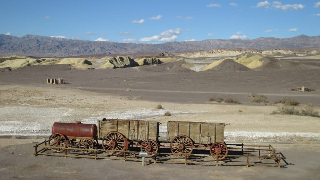
  • The Inyo Mine area with old buildings and equipment that are extremely photogenic—look, don’t climb; they’re unstable.
Tips for the DriveBring plenty of water, food, sun protection, and a spare tire; there are no services and cell…
  • Bring plenty of water, food, sun protection, and a spare tire; there are no services and cell coverage is unreliable.
  • The turnoff from CA‑190 is easy to miss—confirm your route ahead of time.
  • If the route gets beyond your comfort level, turn around; it gets tougher the farther you go.
  • Camping is allowed with a free backcountry permit; pack out everything and keep a low profile.
History & GeologyCarved through the Funeral Mountains, the canyon slices into tilted sedimentary layers that…

Carved through the Funeral Mountains, the canyon slices into tilted sedimentary layers that shout Death Valley’s tectonic story. At the end of the road, the early‑1900s Inyo Mine tells another tale—of hard rock, precious metals, and the grit it took to live and work here. Treat the ruins with care.

WildlifeWildlife viewing isn’t the main draw here.

Wildlife viewing isn’t the main draw here. You might spot lizards and birds, and spring can bring desert wildflowers after rain, but expect stark, open desert with little shade.

Why GoThe Inyo Mine ruins are a genuine highlight, with old structures and artifacts that make the…
  • The Inyo Mine ruins are a genuine highlight, with old structures and artifacts that make the long drive feel like time travel.
  • It’s typically far less crowded than front‑country viewpoints, so you get the canyon soundscape mostly to yourself.

Wildlife

Wildlife in Death Valley

All Death Valley wildlife maps

Sighting maps show where each species has been reported across Death Valley. Wildlife moves, so no sighting is guaranteed.

Keep exploring

Near Echo Canyon

See it all on the map

Trails nearby

More stops nearby

Parkwolf’s Death Valley ranking

Top sights in Death Valley

All 114 places
  1. 1Badwater BasinSight
  2. 2Dante's ViewSight
  3. 3Mesquite Flat Sand DunesSight
  4. 4Zabriskie PointSight
  5. 5Golden CanyonSight
  6. 6Artists PaletteSight

Take Parkwolf to Death Valley.

The audio tour guide for the drive, plus offline maps, trails, and wildlife heatmaps for when the signal drops.

4.7 from 8,600+ ratings

Download Parkwolf on the App StoreGet Parkwolf on Google Play