Place · 0 mi away
Moderate

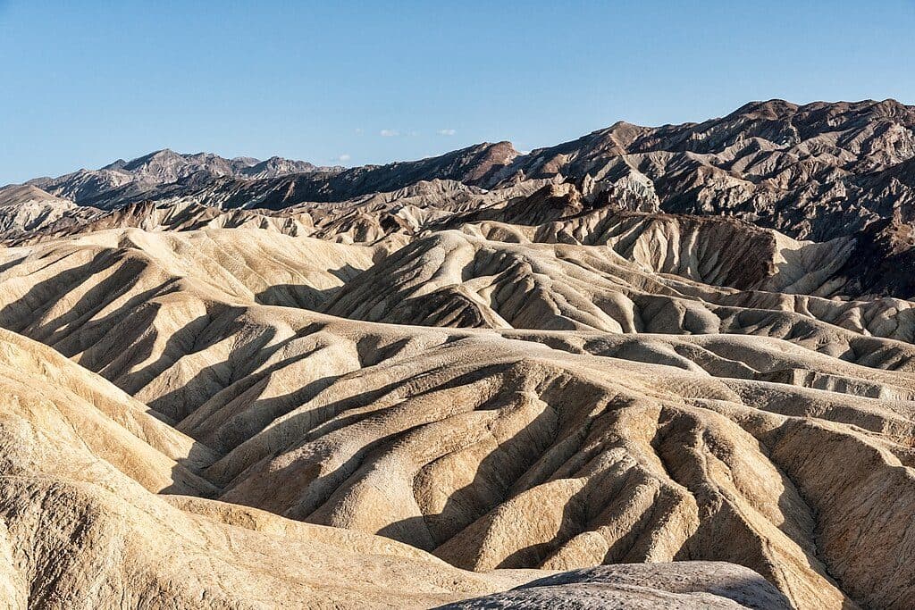
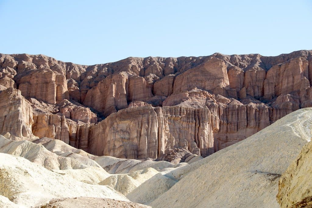
If you want Death Valley’s greatest hits in one hike, this is it. The Zabriskie Point to Golden Canyon Loop threads cream-and-gold badlands, ducks into sculpted canyons, and swings past photogenic landmarks like Manly Beacon. The standard loop is about 6.0 miles total with roughly 1,000 feet of gain, and most hikers take 3–4 hours. Add the short Red Cathedral spur and it stretches toward 6.5–7.5 miles.
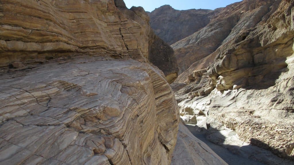
Start at Zabriskie Point to earn that famous panorama on foot, then descend into a maze of badlands where narrow washes crisscross like a choose‑your‑own‑adventure. The route funnels into Golden Canyon, with towering golden walls and changing light that’s fantastic early or late in the day. Continue through to Gower Gulch for a rougher, broader wash, a few easy scrambles, and glimpses of the area’s mining past. Manly Beacon is your constant reference point—an angular, cream-colored spire that anchors the skyline.
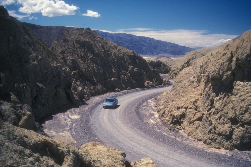
It’s a true moderate: steady distance, some short steeps, a bit of loose gravel, and brief, non‑technical scrambles in Gower Gulch. Expect unpaved badlands surfaces—packed dirt, gravelly wash bottoms, and uneven rock. Navigation is generally signed at major junctions, but the badlands section can be confusing where social paths and washes weave; a downloaded map or GPS track helps.
Go November through April when temps are reasonable; January–April is prime. Sunrise and sunset paint the badlands in wild color, but they also draw crowds to Zabriskie Point. If you want gentler grades and later‑day light on Golden Canyon’s walls, a counter‑clockwise loop from Zabriskie Point is a smart play. Avoid hot weather—there’s zero shade and no water on the route.
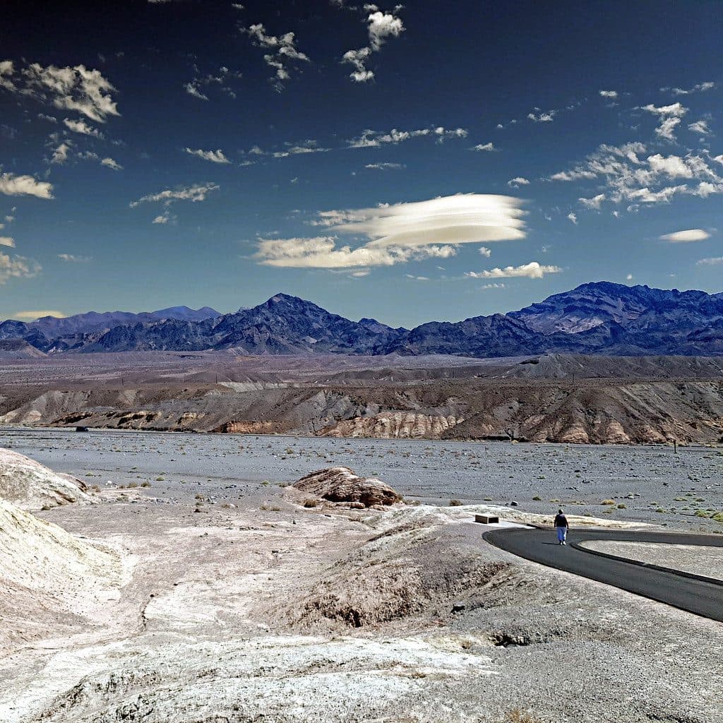
You can start at either end: Zabriskie Point (paved path to the overlook and restrooms at the lot) or the Golden Canyon trailhead on Badwater Road near Furnace Creek. No permits are needed for a day hike, and dogs aren’t allowed on this trail.
Park at Zabriskie Point off Hwy 190 (lot with restrooms) or at the Golden Canyon trailhead on Badwater Road near Furnace Creek.
Extreme heat risk; no shade and no water on route. Carry ample water, sun protection, and a downloaded map. Expect brief, easy scrambles in Gower Gulch and confusing junctions in the badlands.