
Place · 0.4 mi away
Moderate
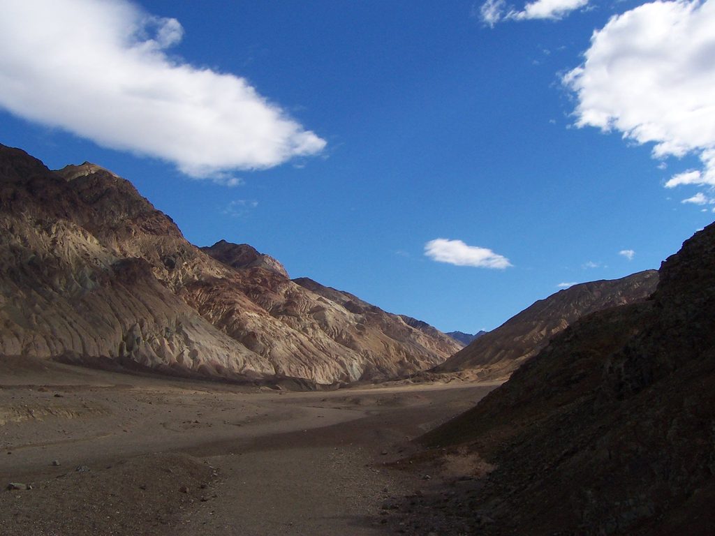
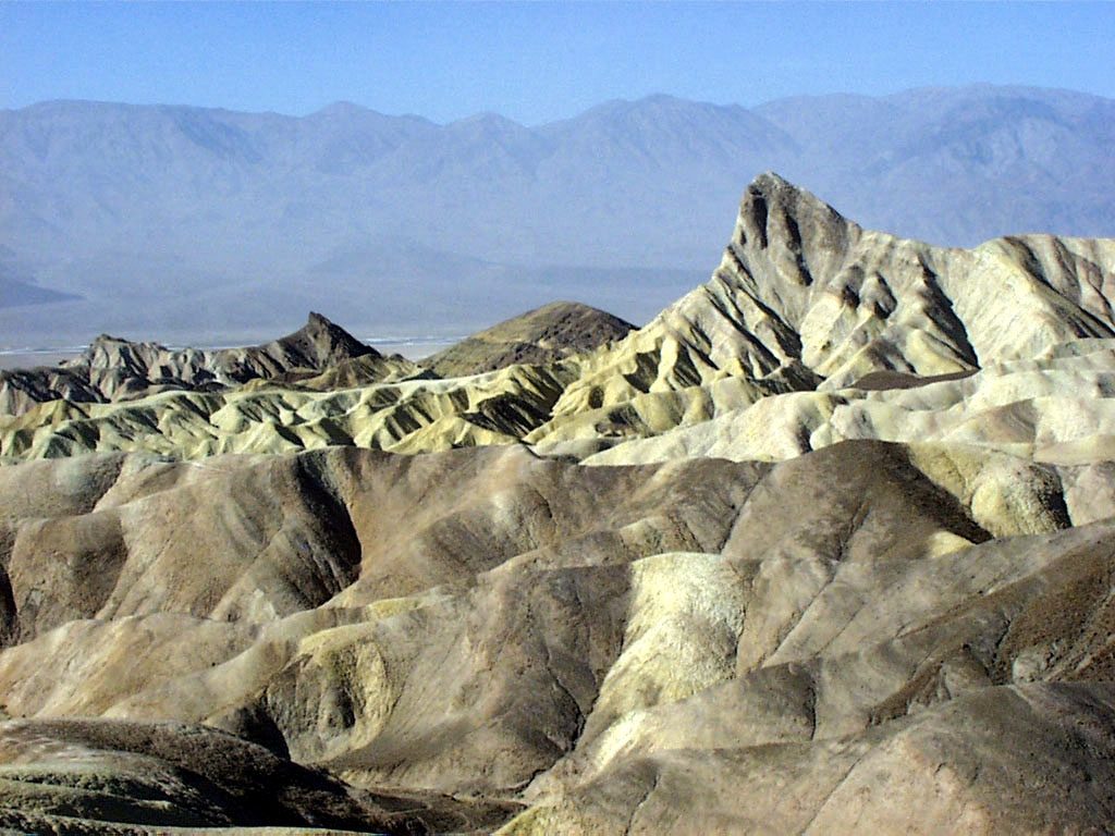
A quieter counterpoint to Death Valley’s headliners, Desolation Canyon delivers color-soaked badlands, light scrambling, and a big-valley panorama without the crowds. The standard route is an out-and-back of about 3.6–3.8 miles total, with roughly 600–800 feet of gain (more if you climb higher). Expect a wash walk with short obstacles and zero shade—simple on paper, but the desert exposure makes it feel solidly moderate.
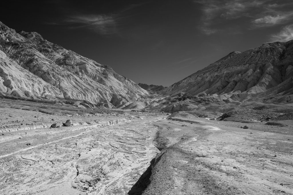
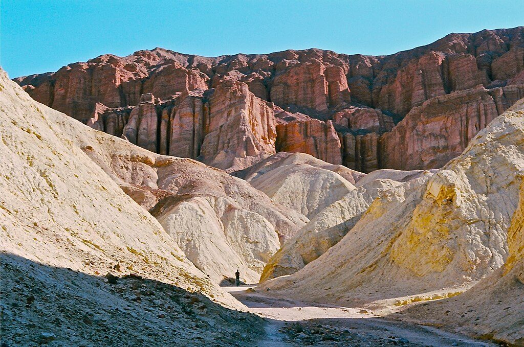
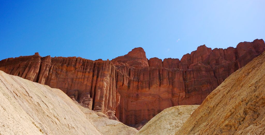
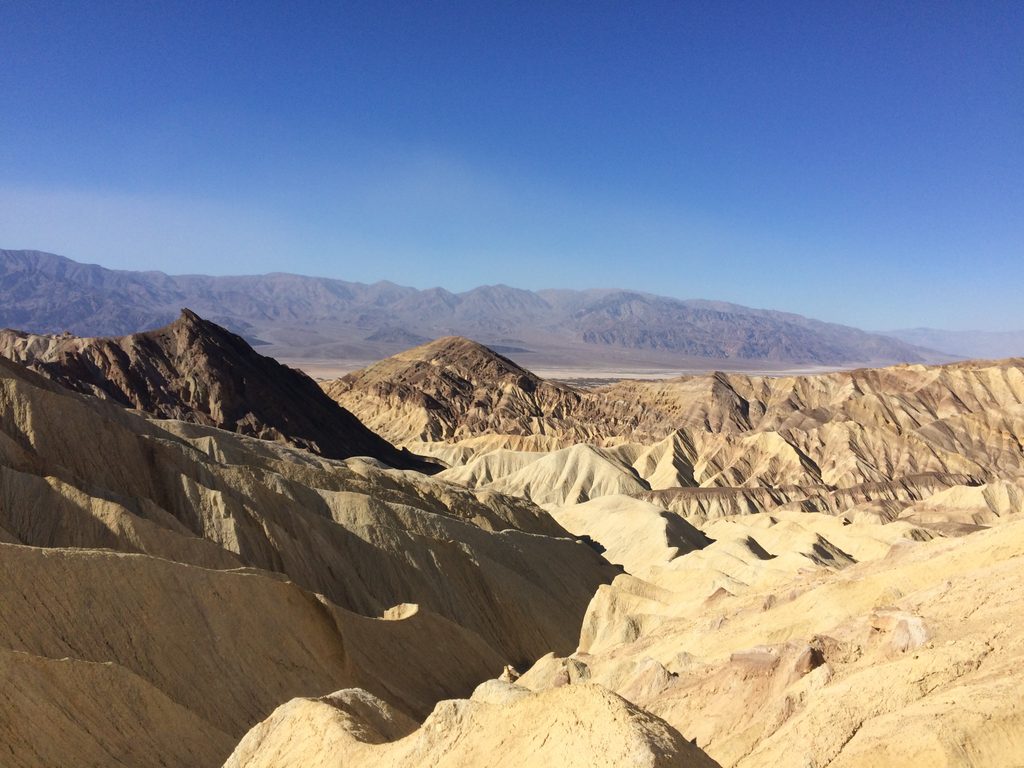
From the small dirt lot, head a short distance toward the toe of a low hill, round it, then drop into the main wash—this initial turn is easy to miss. The hike begins in wide yellow badlands, then narrows into a canyon painted with bands of gold, green, red, and purple from oxidized volcanic minerals. About a mile in, you’ll scramble two dryfalls (roughly 8 feet and 6 feet). They aren’t technical, but you’ll use hands and careful footing—especially on the way down. Continue to a west-facing overlook for sweeping views across the valley to the Panamint Range and Telescope Peak. Many hikers simply return from here, while a steeper, optional ridge extension adds distance and elevation. If you have extra time and stable weather, a separate side canyon near the parking area (often called South Desolation) is a worthy poke-around with no formal trail.
Winter is prime, with late fall and early spring also pleasant. In summer, plan extremely early—daytime hiking after about 10 a.m. is not advised due to dangerous heat. For photographers, late afternoon is the sweet spot: low, warm light makes the mineral colors pop, and the west-facing overlook plays nicely with sunset.
Bring plenty of water—there’s none at the trail or trailhead—and wear grippy footwear for the dryfalls. This is an unmarked route; staying in the main wash keeps navigation straightforward and off the fragile, crumbling walls. Avoid the canyon during or after rain; these badlands can quickly turn into mudflows, and dried mud can be slick afterward. Be alert for rattlesnakes in warm months. Park rules prohibit pets on this trail. Access is via a short unpaved spur off Badwater Road that most vehicles handle fine when dry, but it can be problematic when wet.
Small dirt lot at the end of a short unpaved spur (Desolation Canyon Road) off Badwater Road about 3.7 miles south of CA-190; typically passable when dry.
Full sun exposure and extreme heat; avoid after 10 a.m. in summer. Flash-flood-prone badlands—do not enter during rain or when ground is saturated. Two dryfalls (6–8 ft) require sure footing. Stay in the wash and off fragile walls. No water and no pets.
Place · 0.4 mi away
Place · 1 mi away
Place · 1.1 mi away
Place · 1.8 mi away
Moderate · 1.8 mi away
Moderate · 1.8 mi away
Easy · 2.2 mi away
Moderate · 2.2 mi away

Parkwolf Tour Guide
