Parking
Paved parking at Zabriskie Point on CA-190, about 3.5 miles east of Badwater Road; the lot has large sites for buses and RVs. A vault toilet is in the parking lot.

Death Valley National Park, CA · NV
A 2.7-mile moderate loop through colorful badlands below Zabriskie Point.
Overview
Badlands Loop is a 2.7-mile (4.3 km) moderate loop through the colorful eroded badlands below Zabriskie Point. The National Park Service estimates 1.5–2 hours round trip and about 535 feet (163 m) of elevation gain.
Map & elevation
Plan your hike

The highest, rockiest slopes around here are a summer buffet for grizzly bears.
Death Valley Tour Guide
Parkwolf is a GPS audio tour guide for Death Valley National Park. As you drive, it chimes in with what’s ahead: hidden gems, upcoming stops, history, geology, and wildlife, right through your car’s speakers.
See the Death Valley audio tourRecorded for this trailhead
Zabriskie Point: A Famous View and a Trail into the Badlands“You're approaching Zabriskie Point, which offers what might be the single most famous view in Death Valley. A short paved path leads to an overlook with a huge panorama of colorful, rippling badlands.”
Plays as you drive up to this trailhead in the Parkwolf Death Valley Tour Guide.
More stories near here in the app
“Fantastic app with many points of information… It’s great to just turn on while you’re driving and it gives you an audio tour of the national Park. We love it!!!!”


Trail guide
The hike starts at the Zabriskie Point parking area, follows the signed access path into the badlands, and winds through narrow drainages and sculpted lakebed hills before returning to the overlook area. Small signs mark the major intersections, so follow the route carefully through the maze-like terrain. The loop offers close views of Death Valley’s yellow, red, and brown badlands and broad views toward landmarks including Manly Beacon and Red Cathedral.
This is a moderate desert loop with loose or uneven footing and repeated short ups and downs. The route is exposed and has no shade. Carry ample water, protect yourself from the sun, and avoid hot-weather starts; desert heat can become dangerous quickly.
Zabriskie Point is on CA-190, about 3.5 miles east of Badwater Road. The paved parking area accommodates large vehicles, and a vault toilet is in the parking lot. Dogs are not allowed on the trail.
Wildlife
 71 sightingsBighorn SheepMost seen around 6 PMSighting map
 101 sightingsDesert TortoiseMost seen around 8 AMSighting map
 458 sightingsCoyoteMost seen around 6 PMSighting map
 28 sightingsFeral BurroMost seen around 5 PMSighting map
 30 sightingsMule DeerMost seen around 7 PMSighting map
 62 sightingsKit FoxMost seen around 7 PMSighting map
Sighting maps show where each species has been reported across Death Valley. Wildlife moves, so no sighting is guaranteed.
Keep exploring
 ChallengingZabriskie Point to Golden Canyon7.8 mi · 4.5 hr · At the trailheadStrenuous 7.8-mile loop from Zabriskie Point through Gower Gulch and Golden Canyon
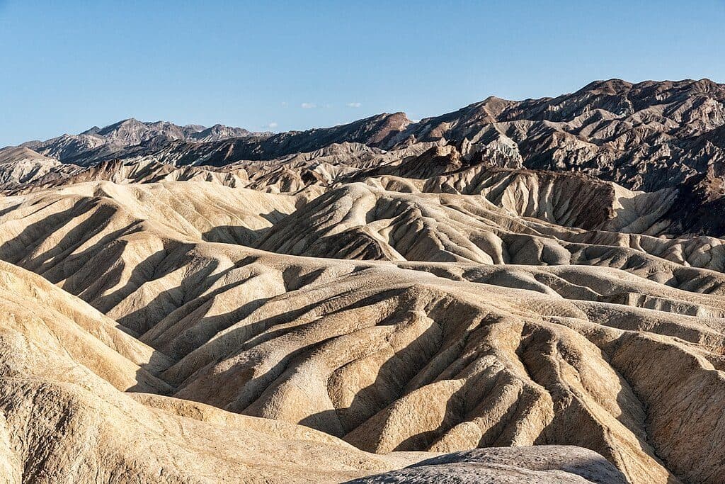 EasyZabriskie Point Overlook Trail0.3 mi · 8 min · 0.1 mi awayA short paved out-and-back from the Zabriskie Point parking area to Death Valley's iconic badlands overlook.
 ModerateGolden Canyon to Red Cathedral3 mi · 1.8 hr · 1.9 mi awayA 3-mile Golden Canyon out-and-back to the red walls of Red Cathedral.
 ModerateGolden Canyon and Gower Gulch Loop4.3 mi · 2.5 hr · 1.9 mi awayModerate badlands loop linking Golden Canyon and Gower Gulch
 ModerateDesolation Canyon Trail3.6 mi · 2.5 hr · 2.2 mi awayColor-drenched badlands and a quiet canyon with easy scrambles
 EasyArtist's Palette Wash0.4 mi · 48 min · 3.9 mi awayExplore a short, unmaintained loop through Death Valley's rainbow badlands.
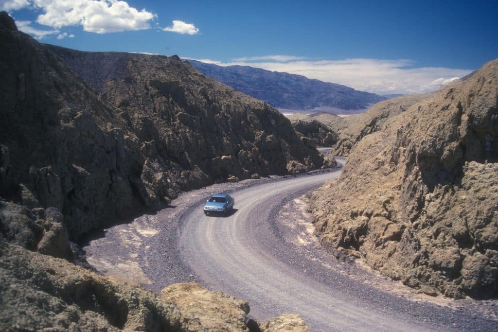 EasyMustard Canyon Loop1.3 mi · 30 min · 5.4 mi awayOne-way drive through mustard-colored badlands from Harmony Borax Works to CA-190
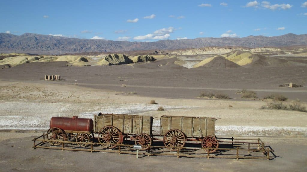 EasyHarmony Borax Works Interpretive Trail0.4 mi · 30 min · 5.4 mi awayA short paved loop through the ruins and stories of Death Valley’s Harmony Borax Works.
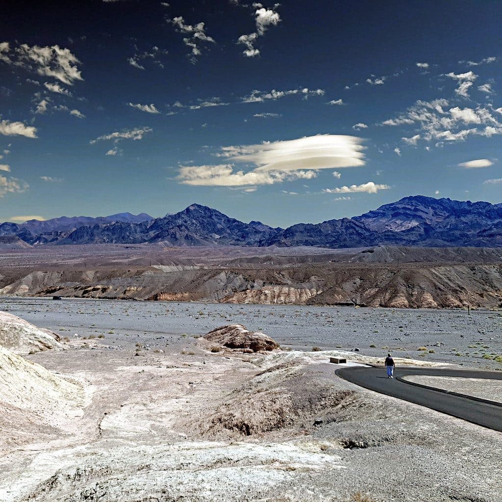 Sight · At the trailheadZabriskie PointSignature badlands vista that lights up at sunrise
 Sight · 0.8 mi awayManly BeaconA sharp badlands spire near Zabriskie Point’s trails
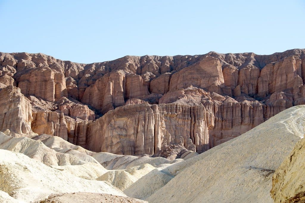 Sight · 1.1 mi awayRed CathedralFluted crimson walls capping Golden Canyon with a fun scramble
 Sight · 1.2 mi awayTwenty Mule Team CanyonShort, roller-coaster dirt drive through yellow badlands
 Sight · 1.7 mi awayEcho CanyonRugged canyon drive to arches and the photogenic Inyo Mine ruins
 Sight · 1.7 mi awayGower GulchBadlands canyon with dryfalls, color, and a classic loop finish
 Sight · 1.9 mi awayGolden CanyonGolden badlands to Red Cathedral with a classic loop option
 Sight · 2.1 mi awayDesolation CanyonColorful, quiet badlands hike with late-afternoon glow and big views
Parkwolf’s Death Valley ranking

The audio tour guide for the drive, plus offline maps, trails, and wildlife heatmaps for when the signal drops.