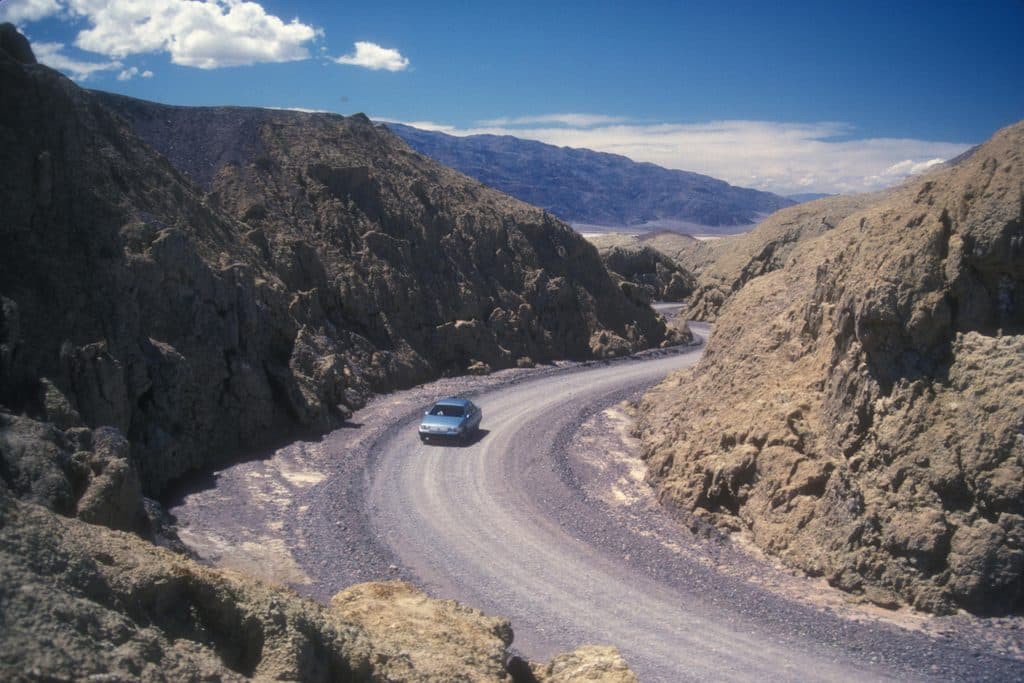
Mustard Canyon Loop in Death Valley National Park

Death Valley National Park, CA · NV

Mustard Canyon Loop

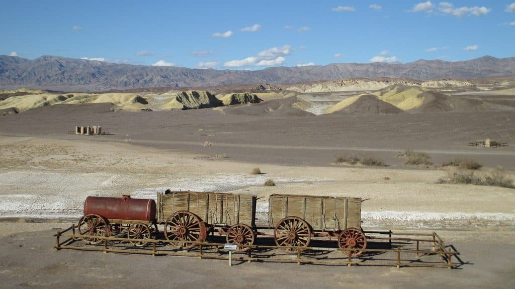
One-way drive through mustard-colored badlands from Harmony Borax Works to CA-190

Photo: Wikimedia Commons
Length
1.3mi
Time
30min
Elev. change
95ft
Difficulty
Easy
  • Dogs allowed
  • High point -154 ft

Hear the audio tour

Mustard Canyon Scenic Drive

Overview

About Mustard Canyon Loop

Mustard Canyon Loop is the legacy name for a short, one-way scenic-road experience through the yellow badlands north of Furnace Creek. The mapped route begins at the Harmony Borax Works parking area, follows the compacted Mustard Canyon Road through the canyon, and ends at California 190. It is a point-to-point road route rather than a closed walking loop. The corridor is about 1.3 miles one way; the broader scenic-drive description is about 1.5 miles when the short paved access road from CA-190 to the parking area is included.

Why go

  • Short, colorful scenic road through distinctive yellow badlands
  • Easy to pair with the Harmony Borax Works historic site
  • Leashed pets are permitted on the unpaved road

Heads up

  • Point-to-point one-way road; it is not a closed walking loop
  • Shared with vehicles and fully exposed, with no water or shade
  • Less dramatic than Death Valley’s major slot canyons
Yes, if you want a brief, colorful scenic drive or a low-effort way to see the Mustard Canyon badlands. It is best understood as a one-way road detour paired with Harmony Borax Works, not as a 3.4-mile loop hike. Arrange your vehicle route accordingly, and do not confuse this road with the separate 0.4-mile paved Harmony interpretive loop.
Parkwolf’s verdictIs It Worth It?

Map & elevation

The route

Loading the Death Valley map
Full map
Elevation-249–-154 ft
TrailheadHarmony Borax Works Parking Area36.48026, -116.87275
Keep this map with you offline in the Parkwolf app

Plan your hike

Before you go

Parking

Use the paved Harmony Borax Works parking area just west of CA-190. The Mustard Canyon Road begins beyond the parking area and continues one way to its CA-190 endpoint; the separate Harmony interpretive loop starts from the same developed area.

Best time to go

The route is fully exposed, with no reliable shade or water. Visit during the cooler months or earlier and later in the day, carry water, and check park conditions before setting out because desert storms can damage unpaved roads. The road is generally suitable for ordinary two-wheel-drive vehicles when open, but conditions can change after storms.

Safety

Fully exposed desert road with no reliable water or shade. Drive and walk slowly around blind bends because the compacted road is shared with vehicles. Check current park conditions after storms because flash flooding can damage or close unpaved sections. Leashed pets are allowed on Mustard Canyon Road but not on the separate Harmony Borax Works interpretive trail.

3 active Death Valley alerts

  • ClosurePark roads closed or hazardousPlan around multiple closed roads and use extra caution on damaged routes. - Paved roads: North Highway and Beatty Cut-off are closed due to flooding and debris from the October 22 storm.Official details
  • ClosureSaline Valley Lower Springs closed after wildfireLower Springs at Saline Valley Warm Springs remains closed after the September 15 wildfire; stay out because the fire left safety hazards, including potential hazardous chemicals.Official details
See all 3 alerts
A park ranger sits on a dash-mounted phone, talking, as Parkwolf’s Tour Guide plays “Army Cutworm Moths: A Grizzly Bear Buffet” on Grand Loop Road below Dunraven Pass in Yellowstone
Parkwolf Tour GuideThe highest, rockiest slopes around here are a summer buffet for grizzly bears.

Death Valley Tour Guide

Your drive to Mustard Canyon Loop, narrated.

Parkwolf is a GPS audio tour guide for Death Valley National Park. As you drive, it chimes in with what’s ahead: hidden gems, upcoming stops, history, geology, and wildlife, right through your car’s speakers.

See the Death Valley audio tour

Recorded for this trailhead

Mustard Canyon Scenic Drive
Listen
“Right by the Harmony Borax Works, there’s a turnoff for a scenic drive called Mustard Canyon. This is a short, mellow, one-way unpaved loop that takes you right through some bright yellow badlands.”

Plays as you drive up to this trailhead in the Parkwolf Death Valley Tour Guide.

More stories near here in the app

  • Harmony Borax Works: The 20-Mule Team Story
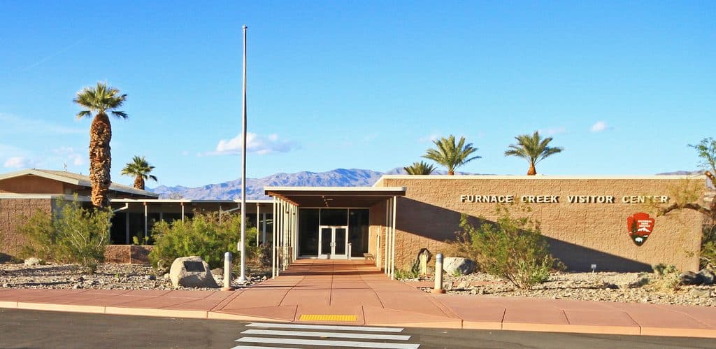
  • Furnace Creek's Heat Engine
  • Blink EV Chargers: A Crucial Stop for Electric Cars
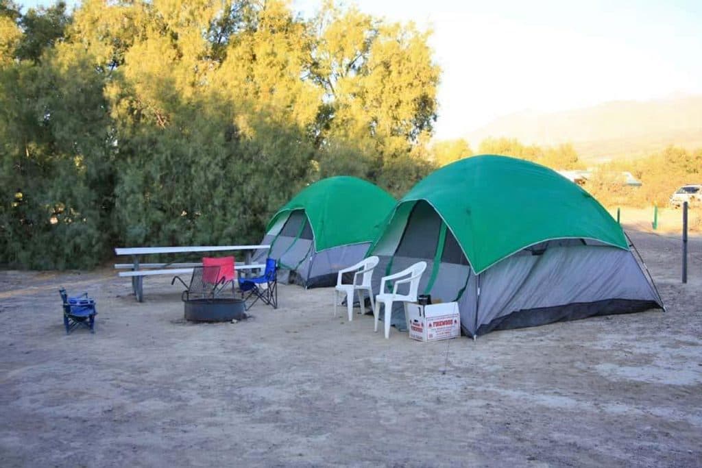
  • Furnace Creek Campground: The Park's Central Camp
  • 130 audio storiesacross Death Valley’s roads, triggered by GPS as you drive
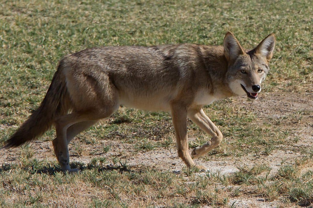
  • Wildlife heatmapsfor Bighorn Sheep, Desert Tortoise, Coyote, and 13 more
  • Works offlinemaps, 36 trails, 114 places, and audio download before you lose signal
  • CarPlay readysimple controls built for the drive
★★★★★
“Fantastic app with many points of information… It’s great to just turn on while you’re driving and it gives you an audio tour of the national Park. We love it!!!!”
JMJamesApp Store review
Download Parkwolf on the App StoreGet Parkwolf on Google Play

4.7 from 8,600+ ratings

Trail guide

Hiking Mustard Canyon Loop

What You’ll SeeThe road winds through low, mustard-colored hills and eroded badlands, with views toward the…

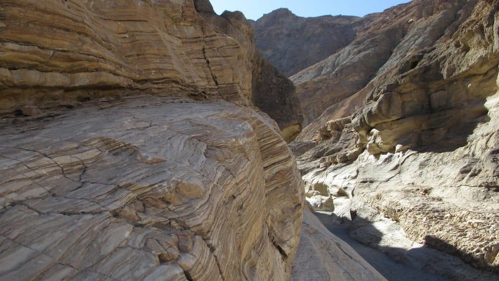
The road winds through low, mustard-colored hills and eroded badlands, with views toward the Panamint and Funeral Mountains. The canyon walls are lower and more open than the park’s major slot canyons, but the unusual yellow geology makes this a worthwhile short scenic detour. The Harmony Borax Works historic site is at the start area and can be visited separately on its paved interpretive loop.

Route/Drive ExperienceThis is a graded, compacted dirt road shared with vehicles, not a formal singletrack hiking…

This is a graded, compacted dirt road shared with vehicles, not a formal singletrack hiking trail. The route is one-way for vehicle traffic from the Harmony parking area to CA-190. Drivers should proceed slowly and watch for oncoming visitors, cyclists, and blind bends. Anyone treating it as a walk should plan for the point-to-point logistics rather than assuming the stored line returns to the parking area.

Access and TipsApproach Harmony Borax Works from CA-190 and use the paved parking area; the Mustard Canyon…

Approach Harmony Borax Works from CA-190 and use the paved parking area; the Mustard Canyon road begins beyond the parking area. The mapped visitor line starts at the parking-area junction and ends where the road rejoins CA-190. There is no water or restroom service along the canyon route. Leashed pets are permitted on the unpaved road, but pets are not permitted on the separate Harmony Borax Works interpretive trail.

Wildlife

Wildlife in Death Valley

All Death Valley wildlife maps

Sighting maps show where each species has been reported across Death Valley. Wildlife moves, so no sighting is guaranteed.

Keep exploring

Near Mustard Canyon Loop

See it all on the map

Trails that start nearby

Places near the trailhead

Parkwolf’s Death Valley ranking

Top-rated trails in Death Valley

All 36 trails
  1. 1Badwater Basin Salt FlatsEasy · 1.9 mi
  2. 2Zabriskie Point Overlook TrailEasy · 0.3 mi
  3. 3Mesquite Flat Sand DunesEasy · 2 mi
  4. 4Telescope PeakChallenging · 12.5 mi
  5. 5Titus Canyon NarrowsEasy · 3 mi
  6. 6Mosaic CanyonModerate · 4 mi

Take Parkwolf to Death Valley.

The audio tour guide for the drive, plus offline maps, trails, and wildlife heatmaps for when the signal drops.

4.7 from 8,600+ ratings

Download Parkwolf on the App StoreGet Parkwolf on Google Play