Overview
About Christie Falls
Why stop
- A roadside waterfall and clear pool in one short stop.
Heads up
- Tour buses can make the small parking area awkward.
Map
Where it is

The highest, rockiest slopes around here are a summer buffet for grizzly bears.
Fiordland Tour Guide
Your drive to Christie Falls, narrated.
Parkwolf is a GPS audio tour guide for Fiordland National Park. As you drive, it chimes in with what’s ahead: hidden gems, upcoming stops, history, geology, and wildlife, right through your car’s speakers.
See the Fiordland audio tourRecorded for this place
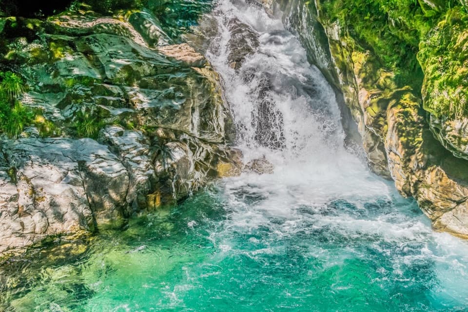
Christie Falls“You're approaching Christie Falls, a roadside cascade dropping into a turquoise pool beside the Falls Creek bridge.”
Plays as you drive up to Christie Falls in the Parkwolf Fiordland Tour Guide.
More stories near here in the app
- Lake Marian and the Falls Walk
- Pop's View Lookout
- A Bat That Walks
- The Divide and Key Summit
- 112 audio storiesacross Fiordland’s roads, triggered by GPS as you drive
- Wildlife heatmapsfor Kea, Fiordland Penguin, Blue Duck, and 13 more
- Works offlinemaps, 77 trails, 102 places, and audio download before you lose signal
- CarPlay readysimple controls built for the drive
“Fantastic app with many points of information… It’s great to just turn on while you’re driving and it gives you an audio tour of the national Park. We love it!!!!”


Guide
More about Christie Falls
A quick waterfall stopChristie Falls is a roughly 15 m cascade on Falls Creek beside the Milford Road (SH 94) bridge,…
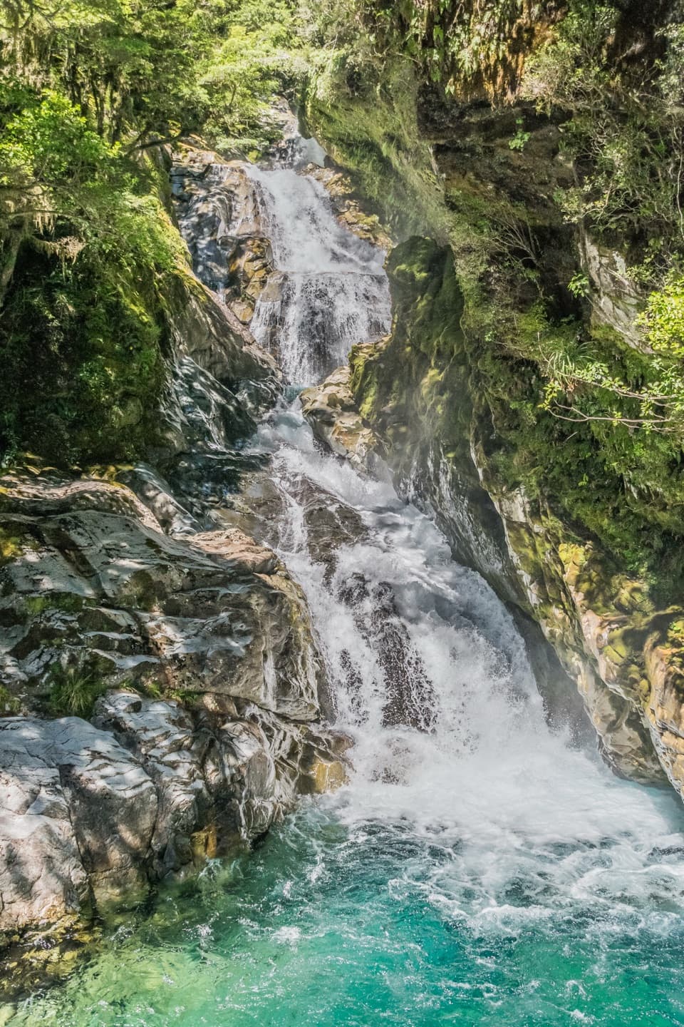
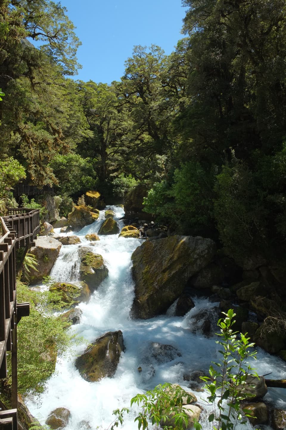
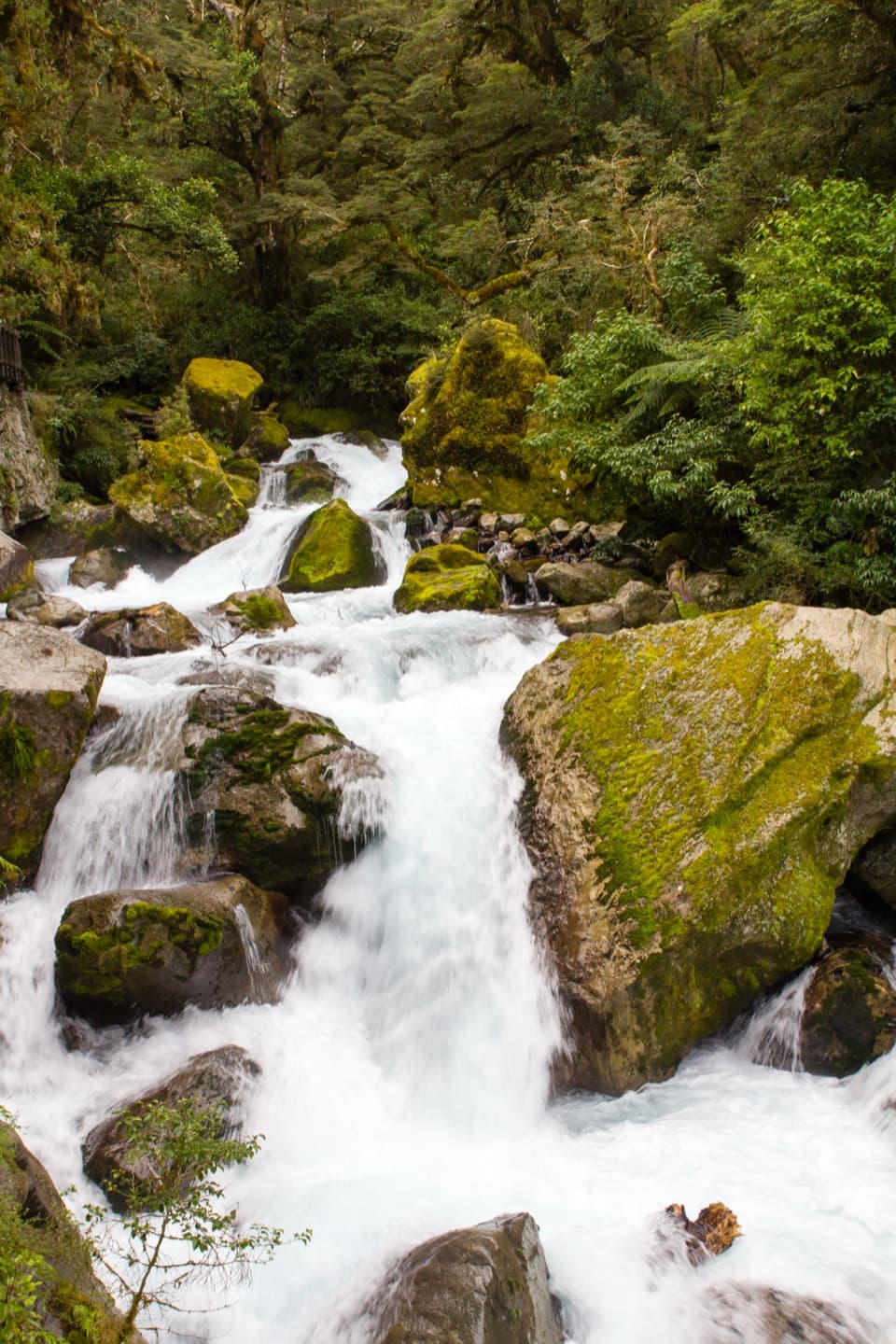
Christie Falls is a roughly 15 m cascade on Falls Creek beside the Milford Road (SH 94) bridge, about 87 km from Te Anau just past the Hollyford Road turnoff. You can see it from the roadside area, so it makes a short waterfall break on the drive toward Milford Sound rather than a hike. Stop for the falls and pool; if you are hurrying through, this is an easy one to skip.
See it from the bridgeA small car park sits by the bridge, with a close view of the cascade.
A small car park sits by the bridge, with a close view of the cascade. The Hollyford River rapids offer another water view nearby. Tour buses sometimes stop here, so the parking area can feel tight; take care around the highway and bridge.
After rainThe waterfall is at its best after rain.
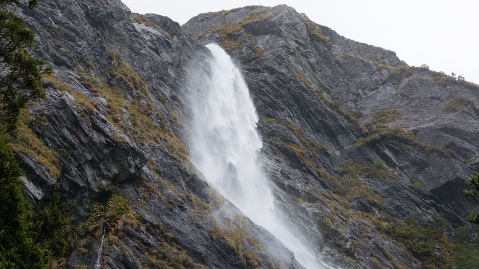
The waterfall is at its best after rain. When heavy rain clears and the cloud lifts, extra streams can show on the surrounding cliffs. From the bridge, frame the drop with the clear pool below it; the turquoise water gives the falls a vivid foreground.
The separate Falls Creek RouteThe Falls Creek Route starts from the same parking area but is a very different outing: a 21 km…
The Falls Creek Route starts from the same parking area but is a very different outing: a 21 km return expert tramp into the valley, with a steep climb and boulder hopping or scrambling. It enters avalanche terrain, where danger is most common from May to November and can persist while snow remains. None of that route is needed to see the roadside waterfall.
Wildlife
Wildlife in Fiordland
 1,233 sightingsKeaMost seen around 10 AMSighting map
 214 sightingsFiordland PenguinMost seen around 7 PMSighting map
 233 sightingsBlue DuckMost seen around 5 PMSighting map
 32 sightingsBottlenose DolphinMost seen around 5 PMSighting map
 252 sightingsNew Zealand Fur SealMost seen around 6 PMSighting map
 69 sightingsKākāMost seen around 6 PMSighting map
Sighting maps show where each species has been reported across Fiordland. Wildlife moves, so no sighting is guaranteed.