Overview
About Lake Marian Falls
Why stop
- Several cascades and a swing bridge make a compact walk feel varied.
Heads up
- The lake route continues with a steep, sometimes muddy climb.
Map
Where it is

The highest, rockiest slopes around here are a summer buffet for grizzly bears.
Fiordland Tour Guide
Your drive to Lake Marian Falls, narrated.
Parkwolf is a GPS audio tour guide for Fiordland National Park. As you drive, it chimes in with what’s ahead: hidden gems, upcoming stops, history, geology, and wildlife, right through your car’s speakers.
See the Fiordland audio tourRecorded for this place
Lake Marian and the Falls Walk“You're nearing the Lake Marian trailhead, where you can choose a short waterfall walk or a demanding climb to an alpine lake.”
Plays as you drive up to Lake Marian Falls in the Parkwolf Fiordland Tour Guide.
More stories near here in the app
- Pop's View Lookout
- The Stone That Lets Light Through
- Christie Falls
- The Divide and Key Summit
- 112 audio storiesacross Fiordland’s roads, triggered by GPS as you drive
- Wildlife heatmapsfor Kea, Fiordland Penguin, Blue Duck, and 13 more
- Works offlinemaps, 77 trails, 102 places, and audio download before you lose signal
- CarPlay readysimple controls built for the drive
“Fantastic app with many points of information… It’s great to just turn on while you’re driving and it gives you an audio tour of the national Park. We love it!!!!”


Guide
More about Lake Marian Falls
A quick waterfall stopMarian Falls is a series of cascades on Marian Creek in mossy forest, just beyond the swing…
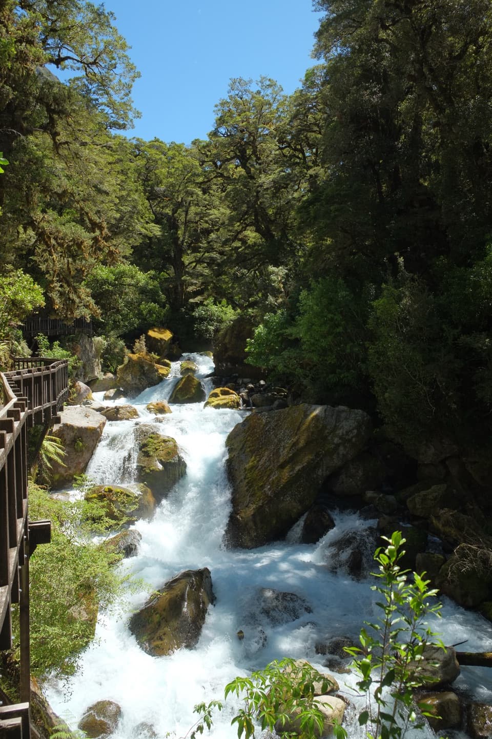
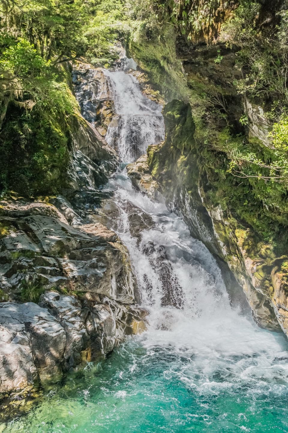
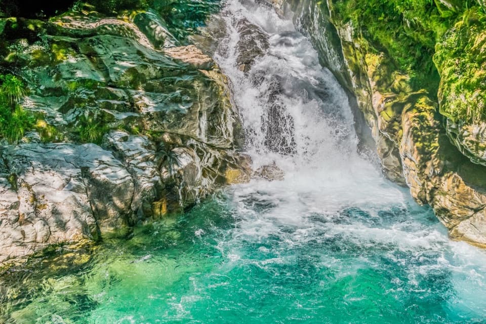
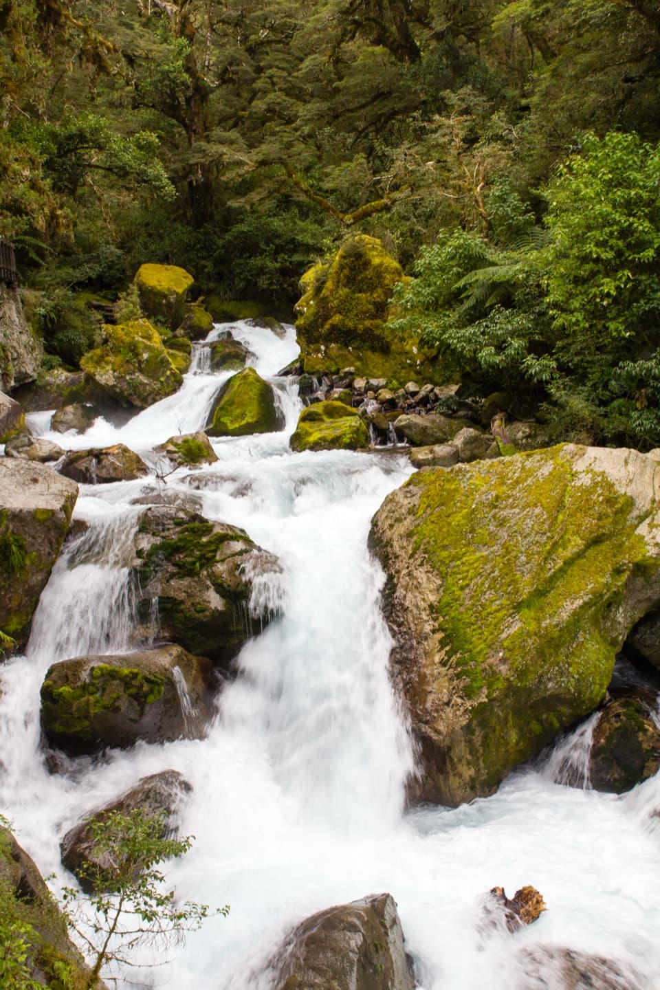
Marian Falls is a series of cascades on Marian Creek in mossy forest, just beyond the swing bridge at the Lake Marian track start. The falls walk is the short payoff: 720 m return and about 20 minutes.
Where to turn aroundFrom the bridge, follow the creek to the falls viewing area.
From the bridge, follow the creek to the falls viewing area. The short walk is easy to intermediate. Past the cascades, the Lake Marian Track climbs steeply and can be muddy, so decide here whether you want a brief stop or the longer hike to the lake.
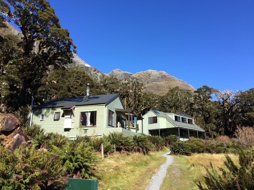
Getting to the trailheadFrom Milford Road, turn at Marian Corner onto unsealed Hollyford Road; the car park is 1 km…
From Milford Road, turn at Marian Corner onto unsealed Hollyford Road; the car park is 1 km along it. Public toilets are at the car park, and dogs aren't allowed on the track.
Keep clear of the creekMarian Creek runs very fast and the rocks beside it are slippery.
Marian Creek runs very fast and the rocks beside it are slippery. Stay on the track and keep children within arm's reach; this is a place to look from the path, not to scramble down to the water.
Read the shape of the fallsWater spills around large moss-covered boulders in several drops.
Water spills around large moss-covered boulders in several drops. A wooden viewing walkway follows the cascade; from there, frame a few drops with the boulders so the photo shows this as a run of falls rather than one white streak.
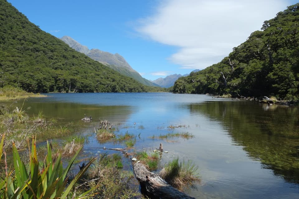
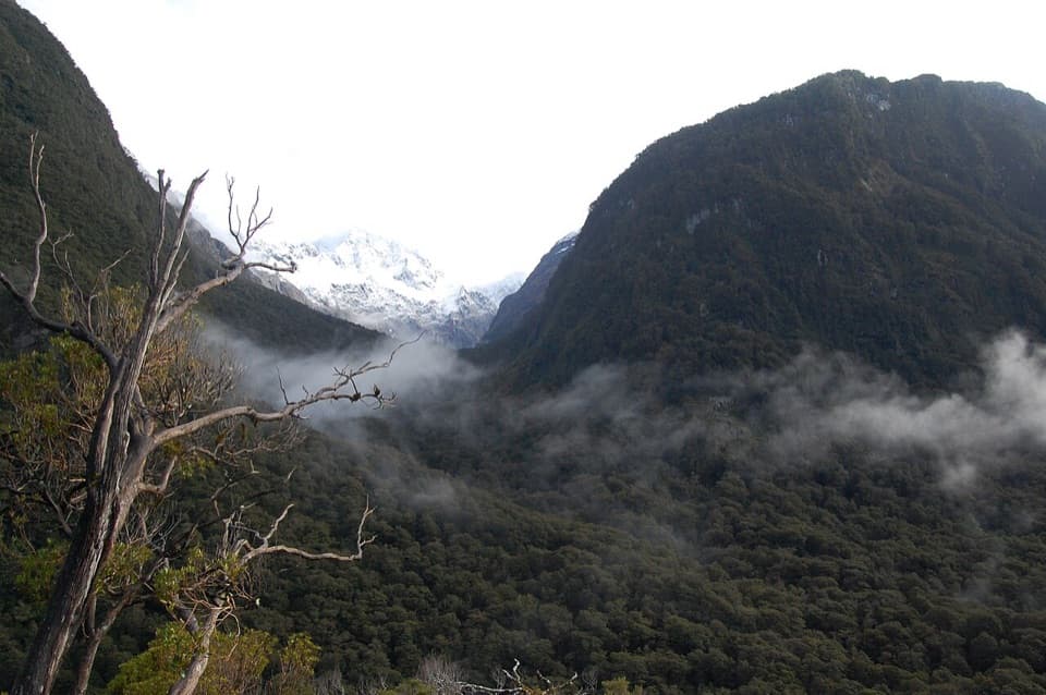
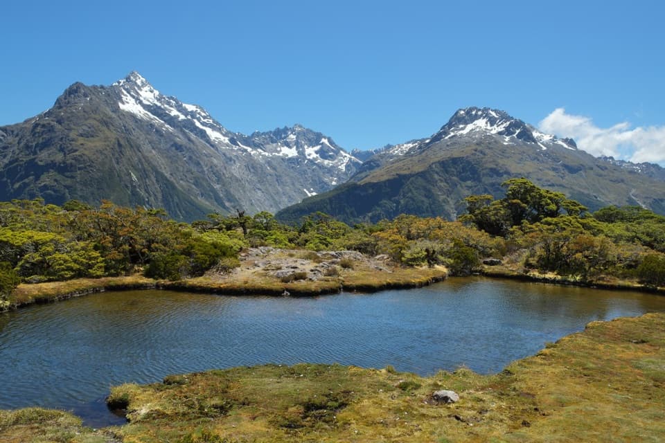
What feeds Marian CreekThe creek carries water out of Lake Marian, an alpine lake in a hanging valley shaped by…
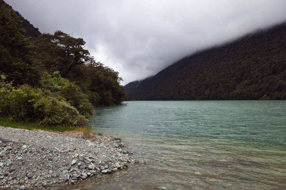
The creek carries water out of Lake Marian, an alpine lake in a hanging valley shaped by glacial action. Above the falls, the trail leaves the short creekside outing and climbs toward that lake.
Wildlife
Wildlife in Fiordland
 1,233 sightingsKeaMost seen around 10 AMSighting map
 214 sightingsFiordland PenguinMost seen around 7 PMSighting map
 233 sightingsBlue DuckMost seen around 5 PMSighting map
 32 sightingsBottlenose DolphinMost seen around 5 PMSighting map
 252 sightingsNew Zealand Fur SealMost seen around 6 PMSighting map
 69 sightingsKākāMost seen around 6 PMSighting map
Sighting maps show where each species has been reported across Fiordland. Wildlife moves, so no sighting is guaranteed.