Parking
Start at The Divide car park on Milford Road, about 85 km from Te Anau.
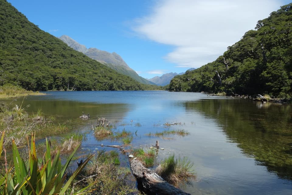
Fiordland National Park, SL
Silver beech forest leads to Lake Howden below the Key Summit turn-off.
Overview
Map & elevation
Plan your hike

The highest, rockiest slopes around here are a summer buffet for grizzly bears.
Fiordland Tour Guide
Parkwolf is a GPS audio tour guide for Fiordland National Park. As you drive, it chimes in with what’s ahead: hidden gems, upcoming stops, history, geology, and wildlife, right through your car’s speakers.
See the Fiordland audio tourRecorded for this trailhead
The Divide and Key Summit“Up ahead is The Divide, the starting point for the climb to Key Summit. For a three-hour walk, I'd choose Key Summit's steady climb through beech forest to alpine pools and mountain views.”
Plays as you drive up to this trailhead in the Parkwolf Fiordland Tour Guide.
More stories near here in the app
“Fantastic app with many points of information… It’s great to just turn on while you’re driving and it gives you an audio tour of the national Park. We love it!!!!”


Trail guide
This is a 6.8 km (4.2 mi) out-and-back from The Divide car park to Lake Howden and back. It’s a good way to sample the Routeburn Great Walk without taking on an overnight crossing: the track climbs through silver beech forest to the Key Summit Track turn-off, then drops to the lake. Allow about three hours.
Most of the climbing comes before the Key Summit turn-off. From there, it’s a short descent to Lake Howden; on the way back, you retrace that climb before the gradual downhill to The Divide. The track is generally well formed, but it’s classed as an intermediate tramping track, so expect a proper hike rather than a flat lakeside stroll.
The north shore opens onto the lake, with forested slopes and mountain ridges beyond. Lake Howden Hut was damaged in a storm in 2020 and is permanently closed, so it isn’t an overnight stop or a place to count on for services.
Begin at The Divide car park on Milford Road, about 85 km from Te Anau. Dogs aren’t allowed. Some published walk summaries label 3.4 km as the return distance, but the mapped trail from the car park to the lake is already about 3.3 km one way; plan on roughly 6.8 km to walk back to The Divide.
Wildlife
 1,233 sightingsKeaMost seen around 10 AMSighting map
 214 sightingsFiordland PenguinMost seen around 7 PMSighting map
 233 sightingsBlue DuckMost seen around 5 PMSighting map
 32 sightingsBottlenose DolphinMost seen around 5 PMSighting map
 252 sightingsNew Zealand Fur SealMost seen around 6 PMSighting map
 69 sightingsKākāMost seen around 6 PMSighting map
Sighting maps show where each species has been reported across Fiordland. Wildlife moves, so no sighting is guaranteed.
Keep exploring
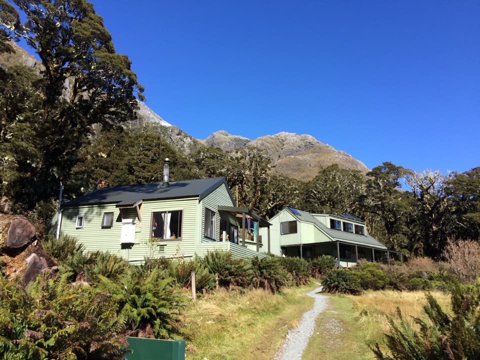 ChallengingRouteburn Track: The Divide to Lake Mackenzie Hut24 km · 10.5 hr · At the trailheadA 24 km return to Lake Mackenzie, with Earland Falls midway.
 ModerateRouteburn Track: Key Summit Track6.8 km · 3 hr · At the trailheadForest climb to alpine tarns and views over Hollyford Valley.
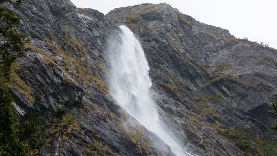 ModerateEarland Falls Track13.3 km · 6 hr · At the trailheadA 174 m waterfall rewards the long walk through beech forest.
 ChallengingLake Marian Track6.2 km · 3.5 hr · 2.2 km awayWaterfalls first, then a high lake in a glacial hanging valley.
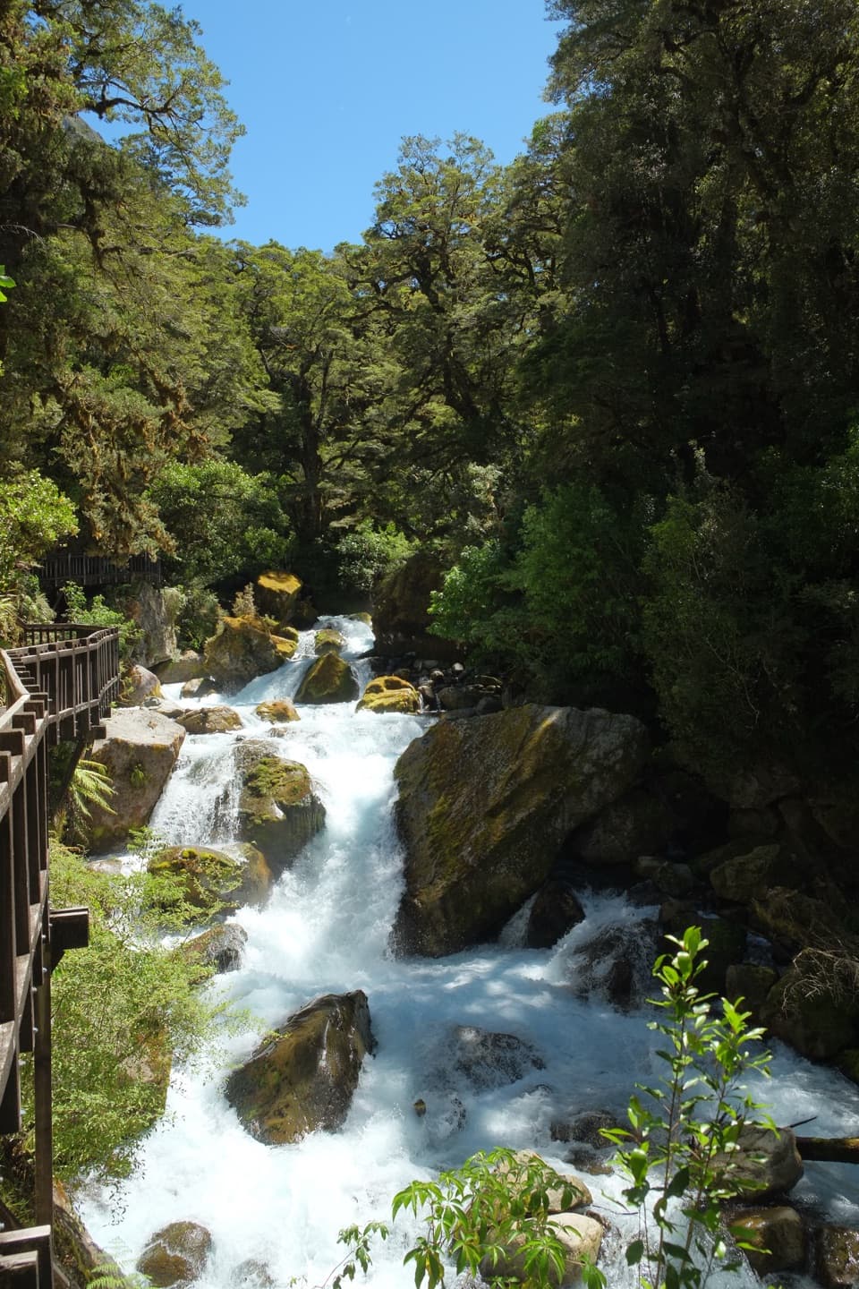 EasyLake Marian Falls Track1.2 km · 20 min · 2.2 km awayA short bridge walk to a gantry beside Marian Falls
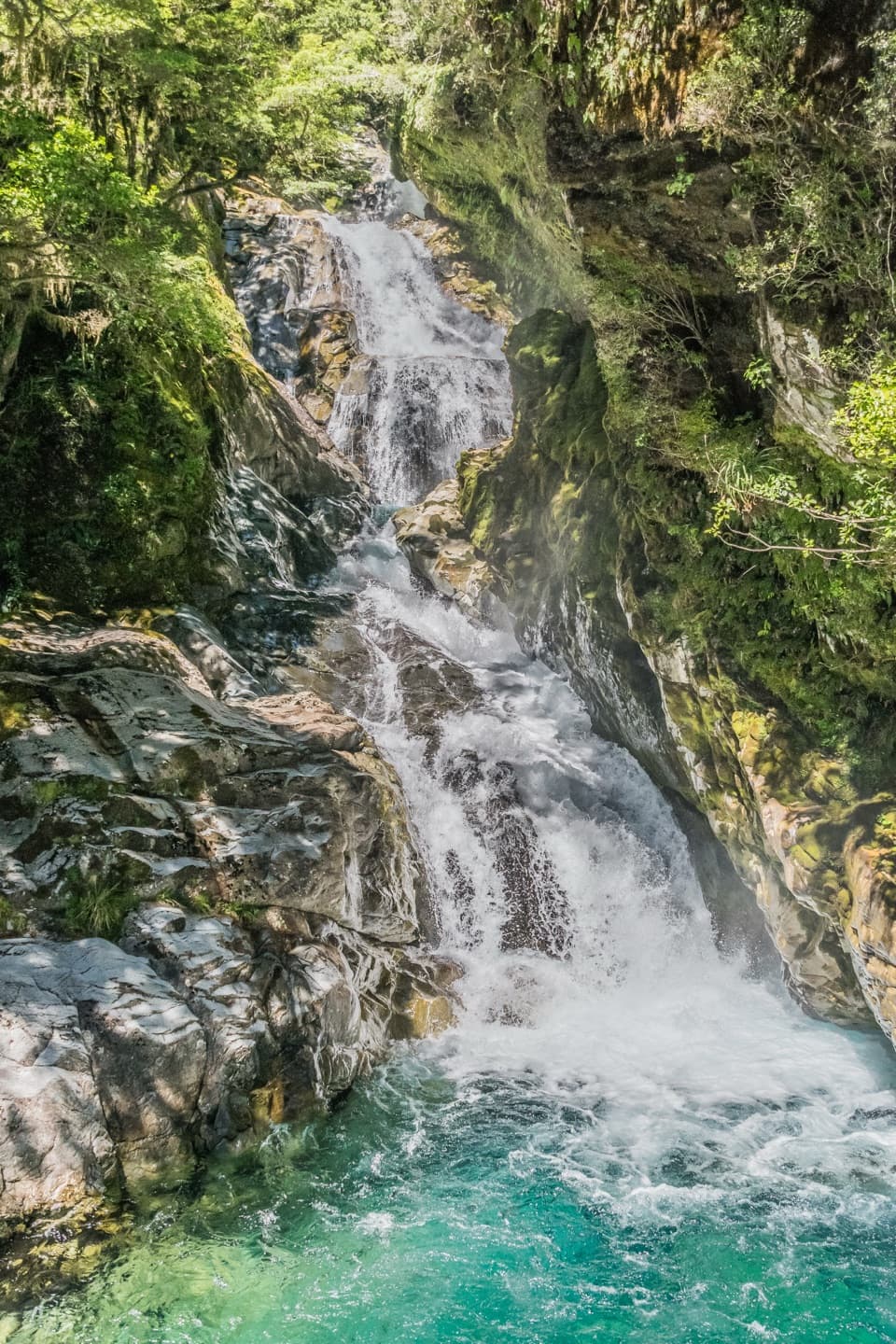 ChallengingFalls Creek Route to the Valley Flats6.6 km · 4 hr · 3.1 km awayA steep climb to remote flats beneath Fiordland peaks.ChallengingPass Creek Track6 km · 4 hr · 3.5 km awayAn old cattle track climbs from Hollyford to Lake Howden.
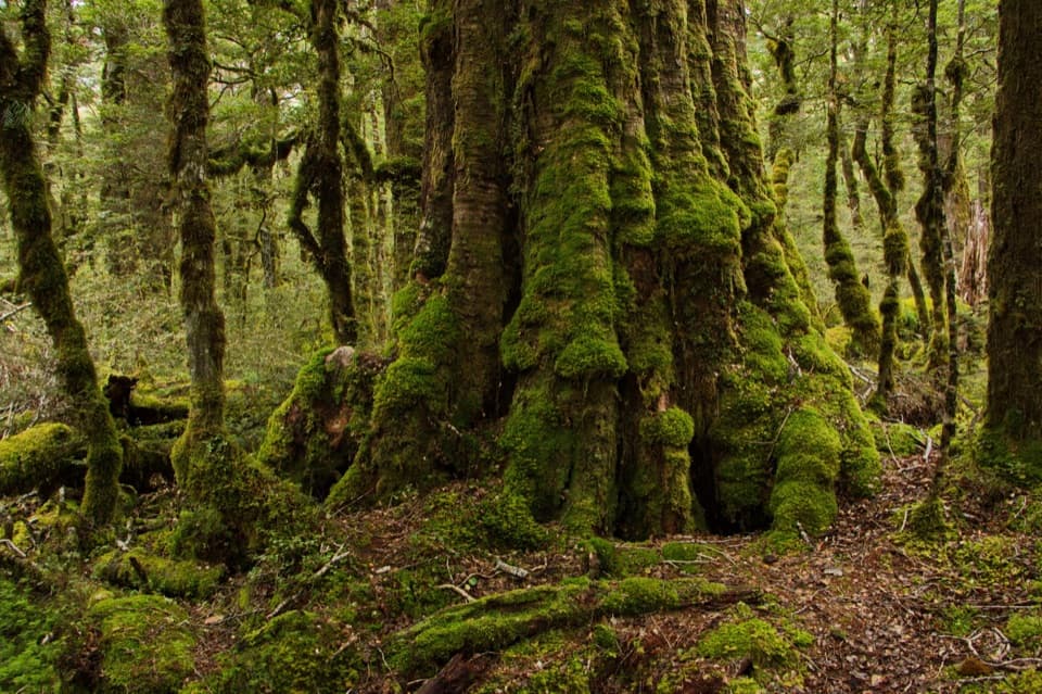 EasyLake Gunn Nature Walk1.4 km · 45 min · 8.2 km awayMossy beech forest, birds and a short beach detour
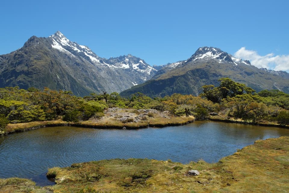 Sight · 1.4 km awayKey SummitAlpine tarns and huge mountain views reward a half-day climb.Sight · 1.8 km awayLake HowdenA beech-forest lake below Key Summit, on the Routeburn Track.
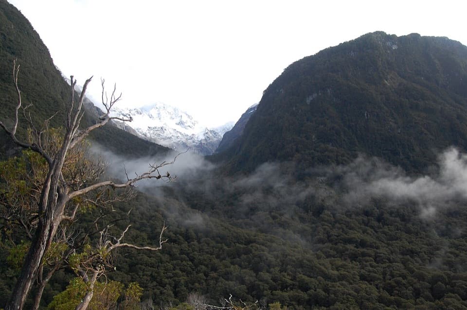 Sight · 2 km awayPop's View LookoutA roadside pull-off for a long look down the Hollyford Valley.
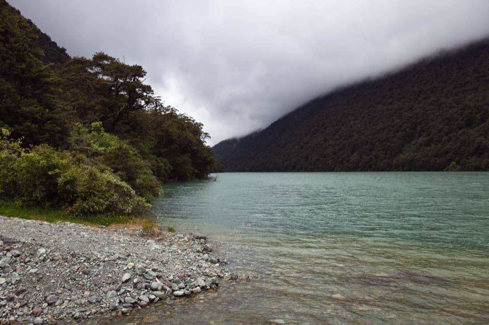 Sight · 2.2 km awayLake FergusA quick lake-and-mountain pause on the way to Milford Sound.
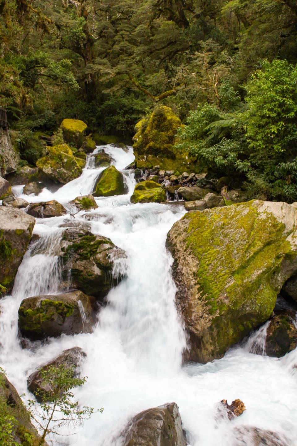 Sight · 2.5 km awayLake Marian FallsA short walk to swift, boulder-framed cascades.
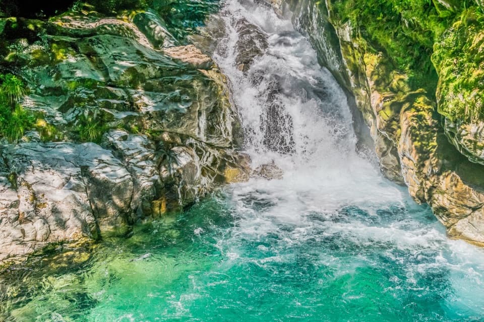 Sight · 3.1 km awayChristie FallsA quick Milford Road stop for a turquoise pool and tumbling water.Sight · 4 km awayEarland FallsA 174 m waterfall that earns a full Routeburn day walk.
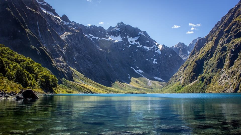 Sight · 4.6 km awayLake MarianA steep climb pays off with a lake framed by sharp peaks.
Parkwolf’s Fiordland ranking

The audio tour guide for the drive, plus offline maps, trails, and wildlife heatmaps for when the signal drops.



