Pass Creek Track in Fiordland National Park

Fiordland National Park, SL

Pass Creek Track

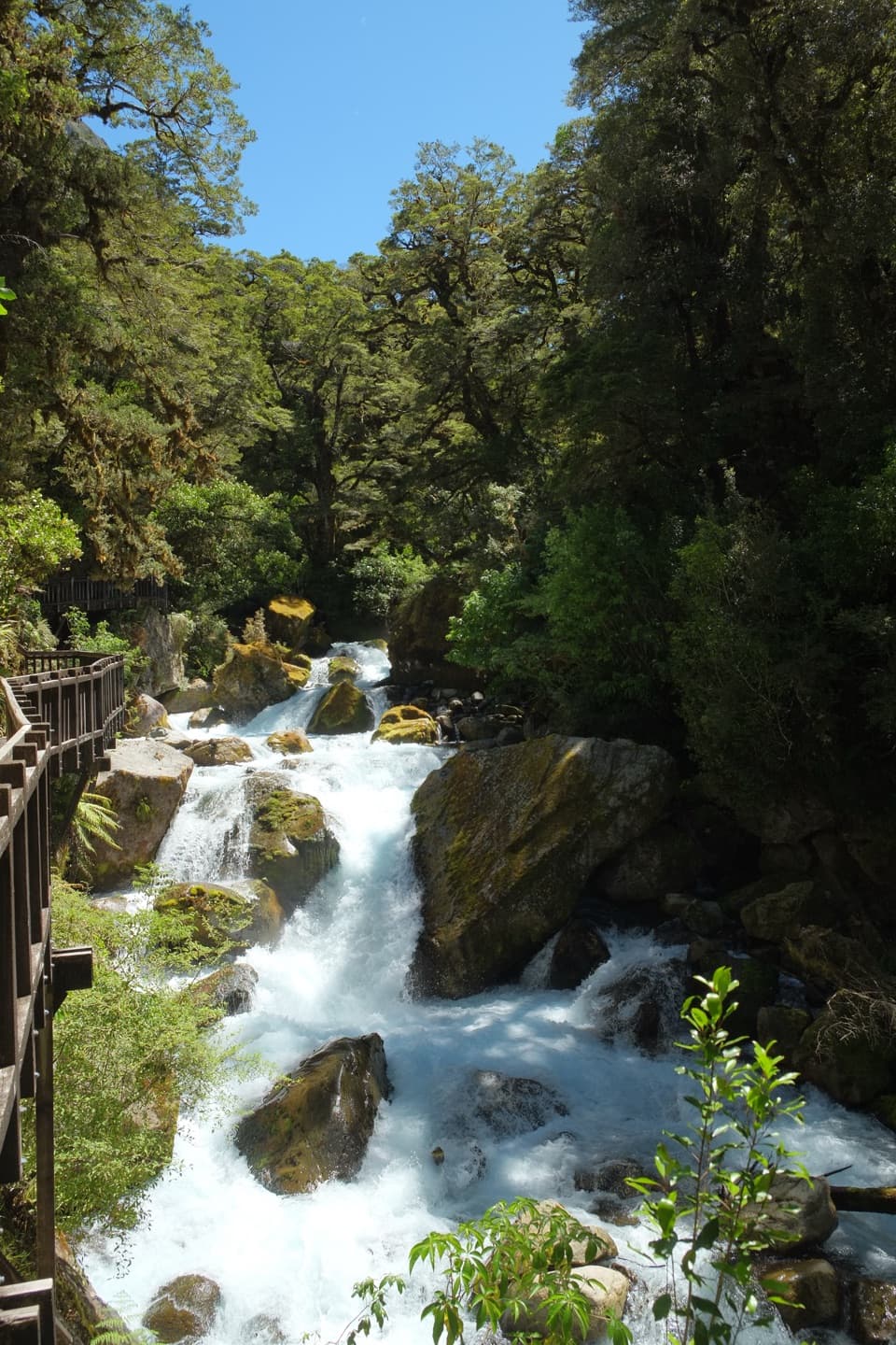
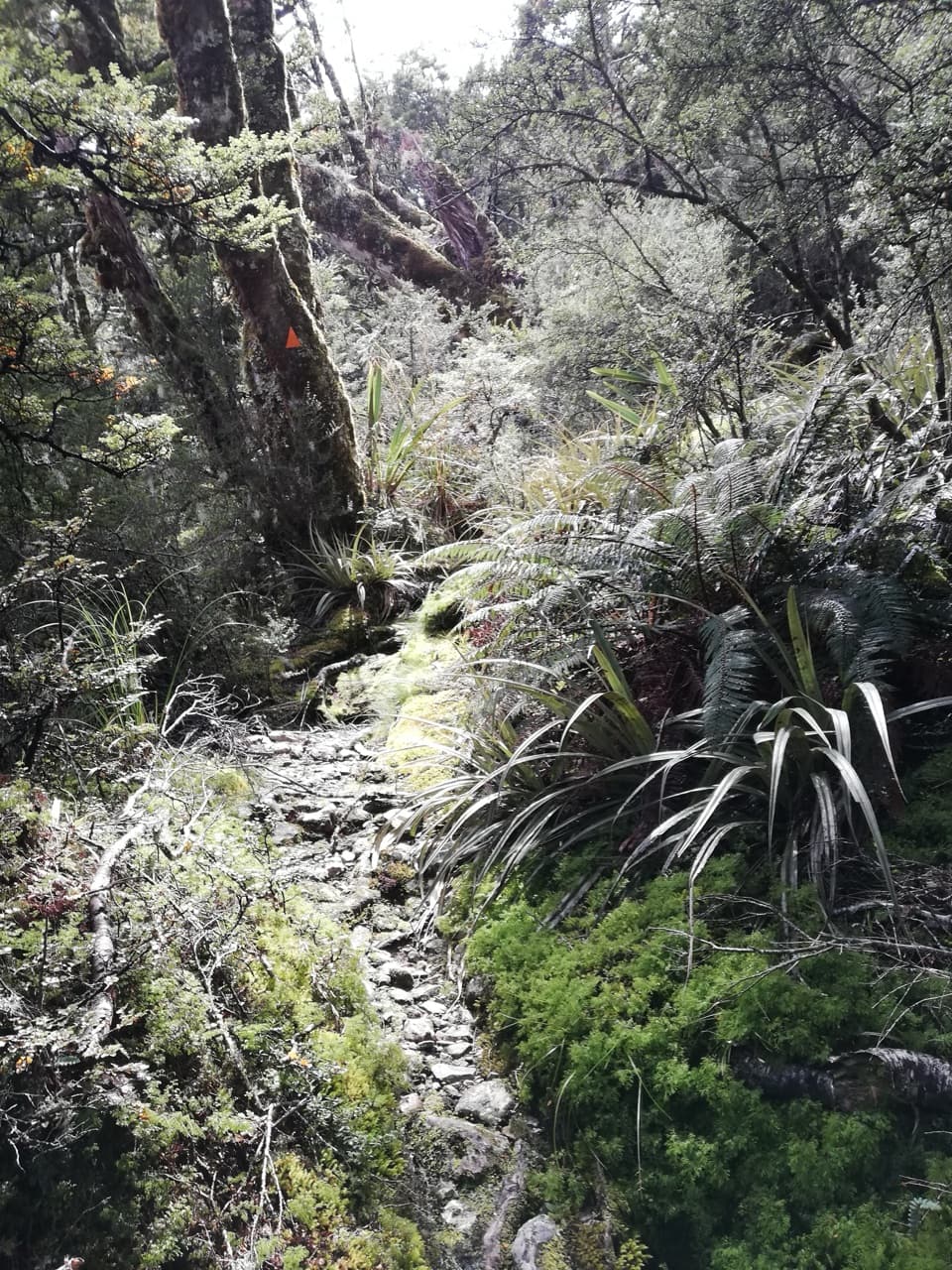
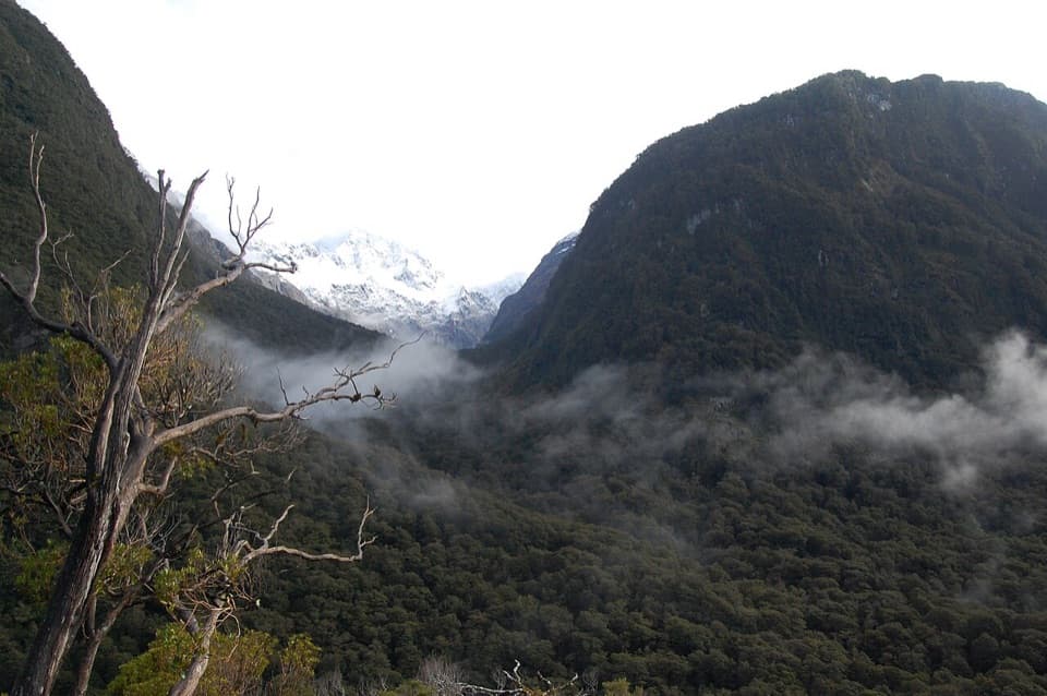
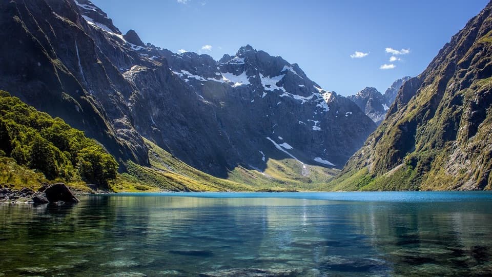
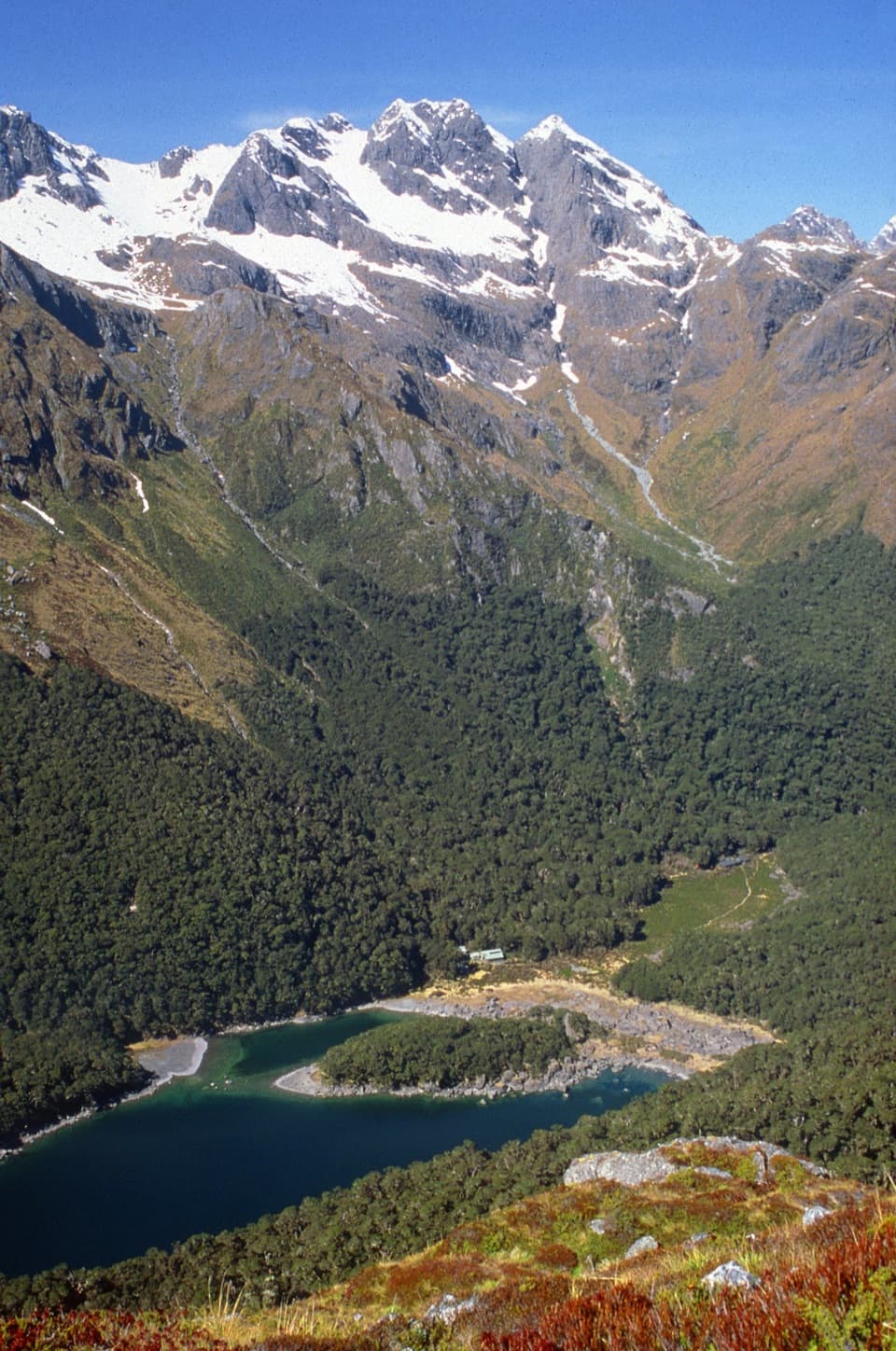
An old cattle track climbs from Hollyford to Lake Howden.

Photo: Pseudopanax / Wikimedia Commons / Public domain

Length
6km
Time
4hr
Elev. change
464m
Difficulty
Challenging
  • No dogs
  • High point 741 m

Hear the audio tour

The Stone That Lets Light Through

Overview

About Pass Creek Track

Why go

  • A historic cattle route reaches Lake Howden from Hollyford Road.

Heads up

  • A steady, advanced four-hour climb for 6 km return.

Map & elevation

The route

Loading the Fiordland map
Full map
Elevation277–741 m
TrailheadLower Hollyford Road, Pass Creek Track entrance-44.79422, 168.12570
Keep this map with you offline in the Parkwolf app

Plan your hike

Before you go

Parking

Start at the lower Hollyford Road entrance, about 400 m from where the road meets Pass Creek. Turn off Milford Road at Marian Corner; it is about 87 km from Te Anau. Parking facilities at the track entrance are not specified, so confirm a safe place to leave your vehicle before setting out.

Safety

Advanced tramping route: good fitness and moderate-to-high backcountry skills, including navigation and survival skills, are recommended. Dogs are prohibited.

A park ranger sits on a dash-mounted phone, talking, as Parkwolf’s Tour Guide plays “Army Cutworm Moths: A Grizzly Bear Buffet” on Grand Loop Road below Dunraven Pass in Yellowstone
Parkwolf Tour GuideThe highest, rockiest slopes around here are a summer buffet for grizzly bears.

Fiordland Tour Guide

Your drive to Pass Creek Track, narrated.

Parkwolf is a GPS audio tour guide for Fiordland National Park. As you drive, it chimes in with what’s ahead: hidden gems, upcoming stops, history, geology, and wildlife, right through your car’s speakers.

See the Fiordland audio tour

Recorded for this area

The Stone That Lets Light Through
0:00 / 0:32
“When you see a pounamu carving, look at how light passes through the stone. Tangiwai, found around Milford Sound, can be almost clear, with olive-green or blue-green colour.”

Plays on the road 0.7 km from the trailhead in the Parkwolf Fiordland Tour Guide.

More stories near here in the app

  • The Tree That Packed Butter
  • Pop's View Lookout
  • Lake Marian and the Falls Walk
  • How Water Moves a Mountain's Limestone
  • 112 audio storiesacross Fiordland’s roads, triggered by GPS as you drive
  • Wildlife heatmapsfor Kea, Fiordland Penguin, Blue Duck, and 13 more
  • Works offlinemaps, 77 trails, 102 places, and audio download before you lose signal
  • CarPlay readysimple controls built for the drive
★★★★★
“Fantastic app with many points of information… It’s great to just turn on while you’re driving and it gives you an audio tour of the national Park. We love it!!!!”
JMJamesApp Store review
Download Parkwolf on the App StoreGet Parkwolf on Google Play

4.7 from 8,600+ ratings

Trail guide

Hiking Pass Creek Track

A harder way to Lake HowdenPass Creek Track is a 6 km return out-and-back from lower Hollyford Road to Lake Howden on the…

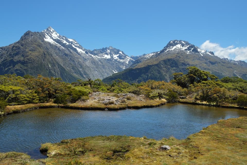
Pass Creek Track is a 6 km return out-and-back from lower Hollyford Road to Lake Howden on the Routeburn Track. Allow about four hours: the path climbs steadily through bush and is an advanced tramping route. Choose it for a demanding approach from the Hollyford side, not a quick stop at the lake.

The climb through the bushThe entrance is on lower Hollyford Road, about 400 m from where the road meets Pass Creek.

The entrance is on lower Hollyford Road, about 400 m from where the road meets Pass Creek. From there the track climbs through forest to Lake Howden. It follows an old line through the bush. An earlier account describes packed soil and exposed roots, so expect an uneven natural tread rather than a graded path. The 6 km figure covers the return on Pass Creek only. Continuing along Routeburn adds distance and time.

An old cattle routePass Creek Track is an old cattle track that linked the Hollyford and Greenstone valleys.

Pass Creek Track is an old cattle track that linked the Hollyford and Greenstone valleys. The route still follows part of that valley connection as it climbs to Lake Howden.

Go preparedPlan on the full four hours and bring the fitness and backcountry experience for an advanced…

Plan on the full four hours and bring the fitness and backcountry experience for an advanced track. This is a remote-area walk where navigation and survival skills matter; it is not a casual substitute for a short nature walk. Dogs are not permitted. No trailhead toilets, water, or other visitor facilities were confirmed.

Wildlife

Wildlife in Fiordland

All Fiordland wildlife maps

Sighting maps show where each species has been reported across Fiordland. Wildlife moves, so no sighting is guaranteed.

Keep exploring

Near Pass Creek Track

See it all on the map

Trails that start nearby

Places near the trailhead

Parkwolf’s Fiordland ranking

Top-rated trails in Fiordland

All 77 trails
  1. 1Milford TrackChallenging · 53.5 km
  2. 2Routeburn TrackChallenging · 33 km
  3. 3Kepler TrackChallenging · 60 km
  4. 4Routeburn Track: Key Summit TrackModerate · 6.8 km
  5. 5Lake Marian TrackChallenging · 6.2 km
  6. 6Hump Ridge TrackChallenging · 61.5 km

Take Parkwolf to Fiordland.

The audio tour guide for the drive, plus offline maps, trails, and wildlife heatmaps for when the signal drops.

4.7 from 8,600+ ratings

Download Parkwolf on the App StoreGet Parkwolf on Google Play