Overview
About Key Summit
Why stop
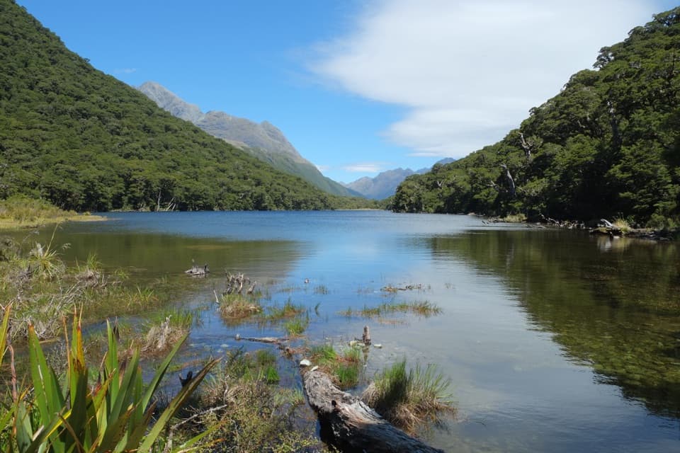
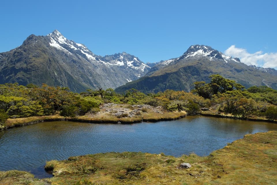
- Alpine tarns and wetland add variety to the wide mountain views.
Heads up
- A sustained uphill climb and three-hour return take a good part of the day.
Map
Where it is

The highest, rockiest slopes around here are a summer buffet for grizzly bears.
Fiordland Tour Guide
Your drive to Key Summit, narrated.
Parkwolf is a GPS audio tour guide for Fiordland National Park. As you drive, it chimes in with what’s ahead: hidden gems, upcoming stops, history, geology, and wildlife, right through your car’s speakers.
See the Fiordland audio tourRecorded for this place
The Divide and Key Summit“Up ahead is The Divide, the starting point for the climb to Key Summit. For a three-hour walk, I'd choose Key Summit's steady climb through beech forest to alpine pools and mountain views.”
Plays as you drive up to Key Summit in the Parkwolf Fiordland Tour Guide.
More stories near here in the app
- Pop's View Lookout
- The Stone That Lets Light Through
- Lake Marian and the Falls Walk
- The Tree That Packed Butter
- 112 audio storiesacross Fiordland’s roads, triggered by GPS as you drive
- Wildlife heatmapsfor Kea, Fiordland Penguin, Blue Duck, and 13 more
- Works offlinemaps, 77 trails, 102 places, and audio download before you lose signal
- CarPlay readysimple controls built for the drive
“Fantastic app with many points of information… It’s great to just turn on while you’re driving and it gives you an audio tour of the national Park. We love it!!!!”


Guide
More about Key Summit
Make time for the summitKey Summit is a 918 m alpine summit and wetland above The Divide, reached by a side trip from…
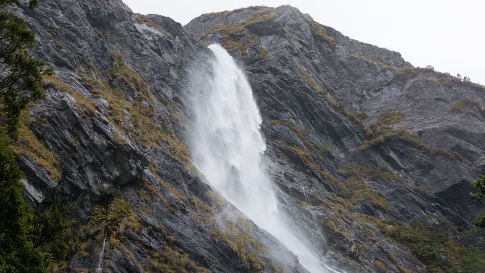
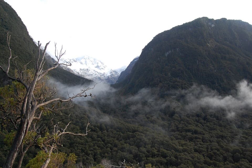
Key Summit is a 918 m alpine summit and wetland above The Divide, reached by a side trip from the Routeburn Track. The walk climbs out of beech forest to an open plateau of tarns and bogs, with clear-weather views over the Humboldt and Darran Mountains and down the Hollyford Valley. If you have about half a day and want a proper uphill walk with alpine scenery, keep it on your list. Allow about 3 hours for the 6.8 km return trip.
A forest climb, then the skylineStart at The Divide car park, about 85 km along Milford Road from Te Anau.
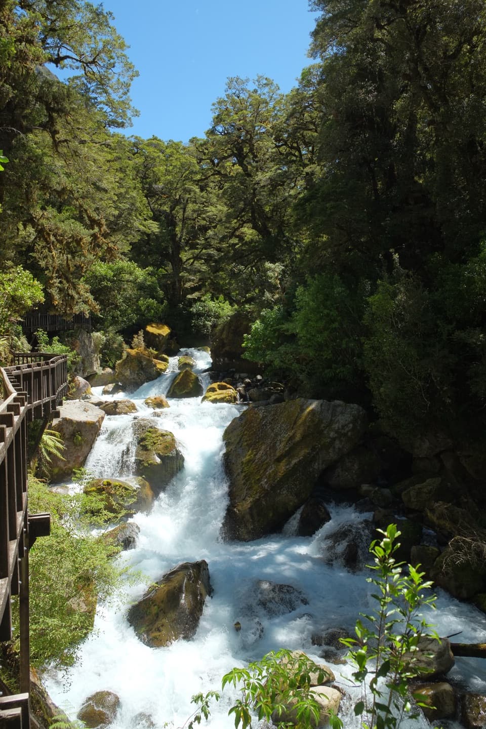
Start at The Divide car park, about 85 km along Milford Road from Te Anau. The first stretch follows the Routeburn Track through beech forest for roughly an hour to a signed junction; from there, the final climb takes about 20 minutes. You return the same way. This is an intermediate tramping track, with a steady climb before the open views begin.
Take the wetland loopAbove the bushline, a marked nature loop crosses subalpine shrubs, tarns and bogs.
Above the bushline, a marked nature loop crosses subalpine shrubs, tarns and bogs. Low, twisted trees and moss give this plateau a different feel from the forest below, and boardwalk sections cross the wetter ground. Stop for the small details as well as the panorama. For a phone photo, put a tarn in the foreground with the peaks behind it; when the water is calm, it can catch their reflection.
A glacier crossed the summitKey Summit sits at the northern end of a long spur in the Livingstone Mountains.
Key Summit sits at the northern end of a long spur in the Livingstone Mountains. During the last ice age, a glacier flowed down the Hollyford Valley and overtopped the summit by about 500 m before dividing toward the Eglinton and Greenstone valleys. The ice was higher than the summit itself.
Listen for the forest birdsThe walk passes from beech forest into subalpine shrubland and open wetland.
The walk passes from beech forest into subalpine shrubland and open wetland. Tomtits, robins, kererū and bellbirds are commonly seen along the Routeburn, so listen as well as look as the vegetation changes.
Plan for Fiordland weatherCloud can hide the panorama, so pick a clearer forecast if the view is your main reason for…
Cloud can hide the panorama, so pick a clearer forecast if the view is your main reason for going. Weather changes quickly here, and snow, strong wind, heavy rain or cold can arrive in any season on the exposed upper section. There is no food to buy on the Routeburn Track, so bring a meal and water. Toilets are available at The Divide, and dogs are not allowed.
Wildlife
Wildlife in Fiordland
 1,233 sightingsKeaMost seen around 10 AMSighting map
 214 sightingsFiordland PenguinMost seen around 7 PMSighting map
 233 sightingsBlue DuckMost seen around 5 PMSighting map
 32 sightingsBottlenose DolphinMost seen around 5 PMSighting map
 252 sightingsNew Zealand Fur SealMost seen around 6 PMSighting map
 69 sightingsKākāMost seen around 6 PMSighting map
Sighting maps show where each species has been reported across Fiordland. Wildlife moves, so no sighting is guaranteed.