Overview
About Lake Mackenzie Campsite
Why stop
- A tent night beside Lake Mackenzie, with a cooking shelter.
Heads up
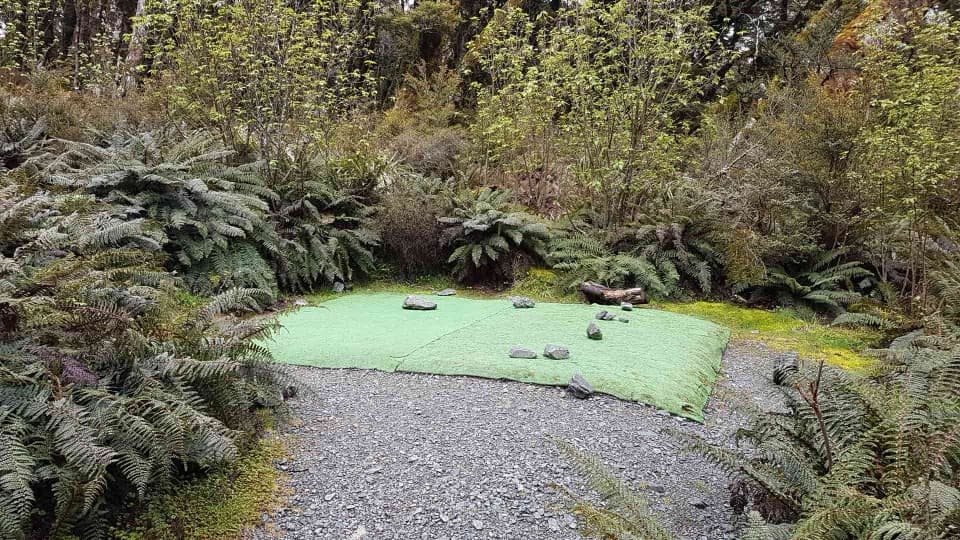
- Artificial-turf pads can make tent pegs hard to secure.
Map
Where it is

The highest, rockiest slopes around here are a summer buffet for grizzly bears.
Fiordland Tour Guide
Your drive to Lake Mackenzie Campsite, narrated.
Parkwolf is a GPS audio tour guide for Fiordland National Park. As you drive, it chimes in with what’s ahead: hidden gems, upcoming stops, history, geology, and wildlife, right through your car’s speakers.
See the Fiordland audio tourRecorded for this area
How Water Moves a Mountain's Limestone“A limestone cave can begin with water working its way into a crack. Rainwater picks up carbon dioxide from the air and soil, becoming weakly acidic.”
Plays on the road 2.8 km from Lake Mackenzie Campsite in the Parkwolf Fiordland Tour Guide.
More stories near here in the app
- Below the Mushroom
- The Town the Road Never Reached
- The Tree That Packed Butter
- Davey Gunn’s Dash for Help
- 112 audio storiesacross Fiordland’s roads, triggered by GPS as you drive
- Wildlife heatmapsfor Kea, Fiordland Penguin, Blue Duck, and 13 more
- Works offlinemaps, 77 trails, 102 places, and audio download before you lose signal
- CarPlay readysimple controls built for the drive
“Fantastic app with many points of information… It’s great to just turn on while you’re driving and it gives you an audio tour of the national Park. We love it!!!!”


Guide
More about Lake Mackenzie Campsite
A campsite for the crossingLake Mackenzie Campsite is a walk-in Great Walk campground with nine non-powered tent sites…
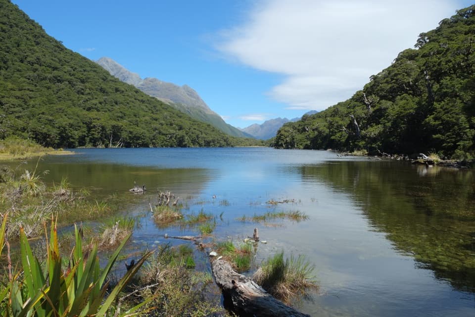
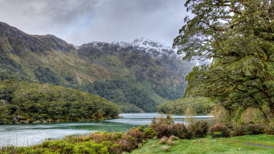
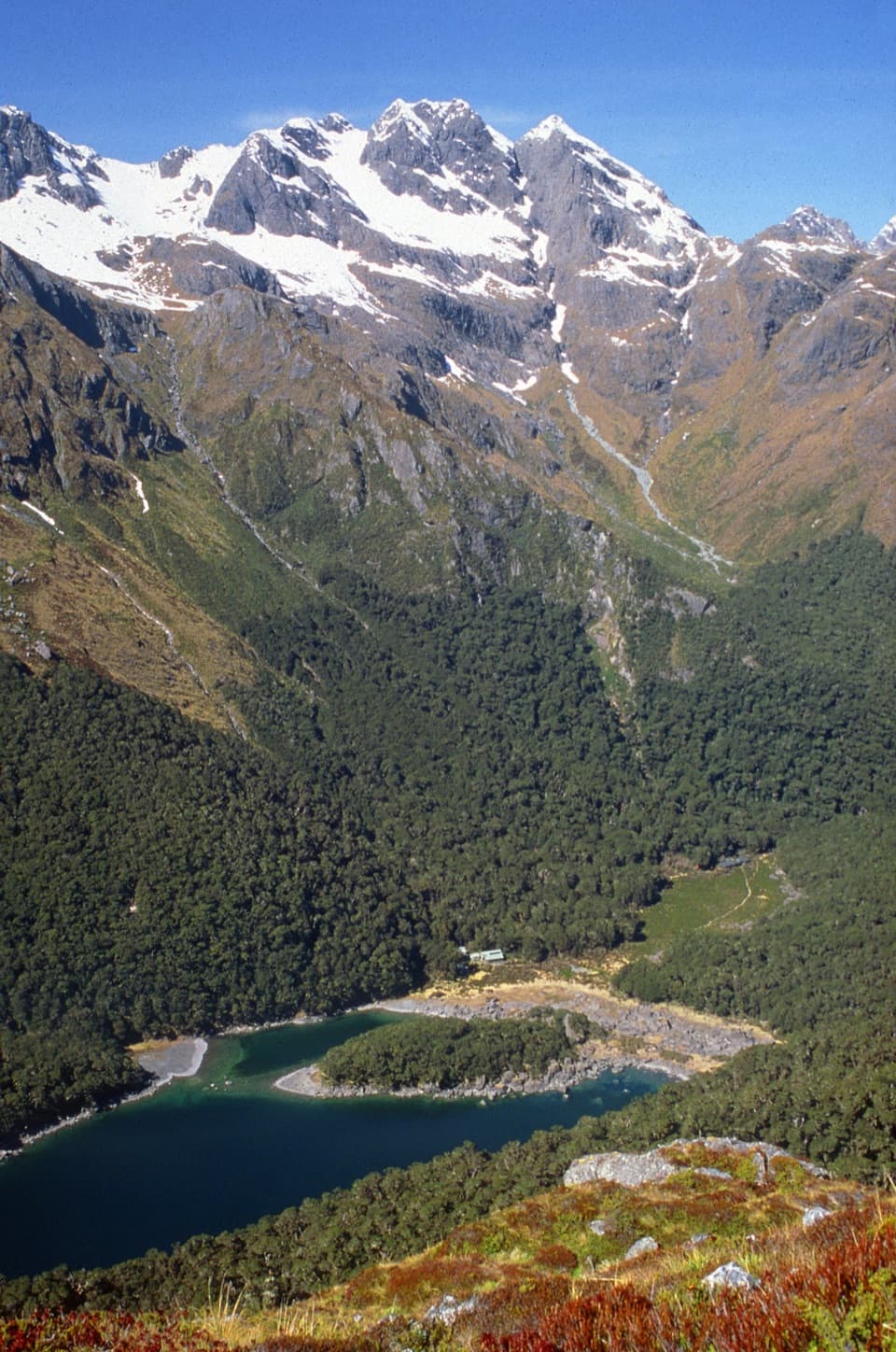
Lake Mackenzie Campsite is a walk-in Great Walk campground with nine non-powered tent sites beside Lake Mackenzie on Fiordland's Routeburn Track. It's an overnight stop for people walking the multi-day crossing, not a drive-up campground. Bring your own tent, sleeping bag and cooking gear; campers can't use the adjacent Lake Mackenzie Hut's facilities.
Plan for the walkFrom The Divide on Milford Road, DOC estimates about 4–6 hours on foot to the site.
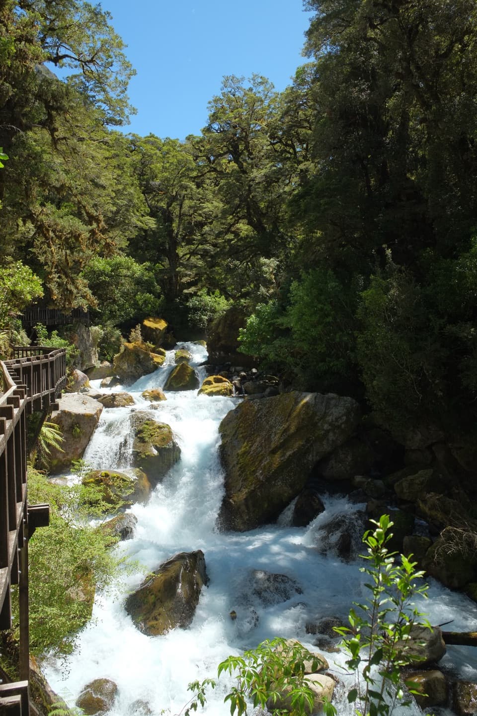
From The Divide on Milford Road, DOC estimates about 4–6 hours on foot to the site. The Routeburn is 33 km one way, and most walkers take three days and two nights. During the Great Walk season (November–April), reserve a campsite; outside that period, sites are first come, first served, facilities are reduced and alpine hazards increase. This is a backcountry night, not a quick lakeside stop.
What camp providesExpect nine tent sites, a cooking shelter, non-flush pit toilets and untreated water that must…
Expect nine tent sites, a cooking shelter, non-flush pit toilets and untreated water that must be boiled before drinking. There's no food for sale, and dogs aren't allowed. The artificial-turf tent pads can make pegs difficult to secure.
The surrounding trackThe campsite sits by the lake within the Routeburn's alpine landscape.
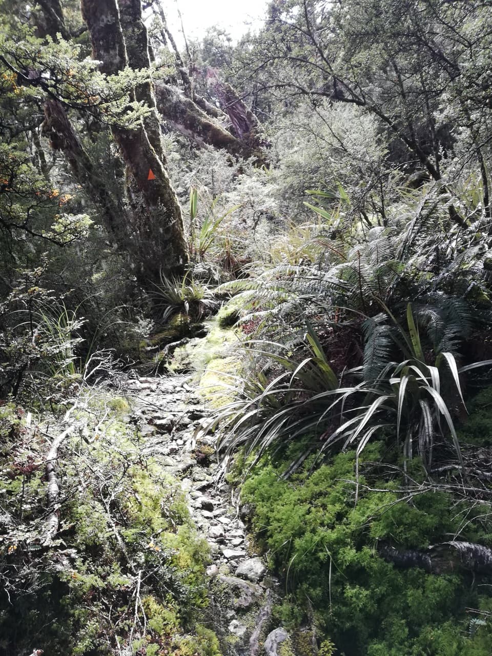
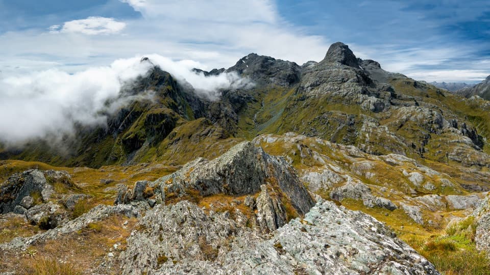
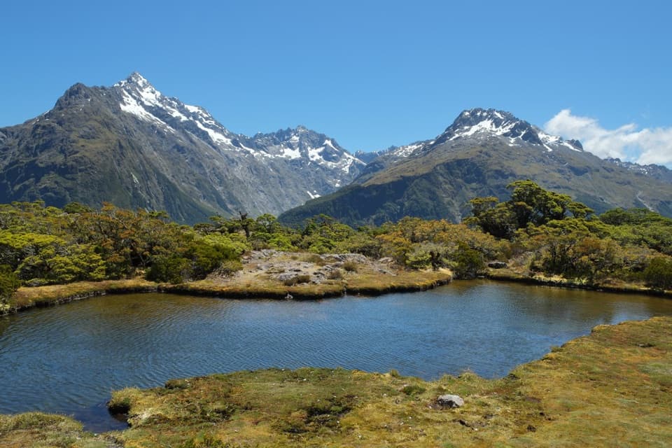
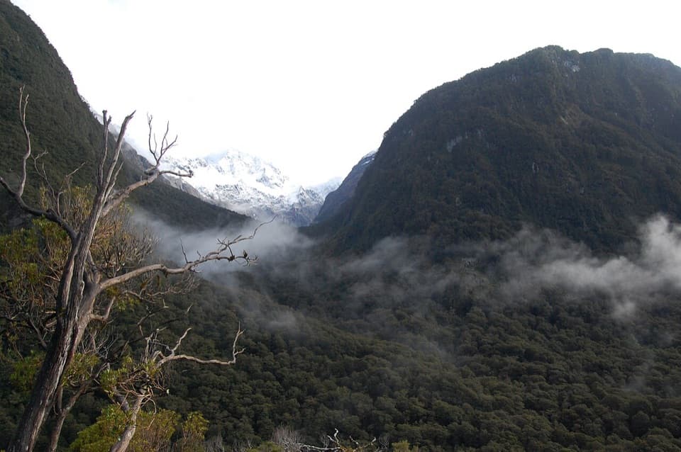
The campsite sits by the lake within the Routeburn's alpine landscape. The exposed Hollyford Face nearby opens to views of the Darran Mountains, with a varied display of alpine plants along this stretch.
Wildlife
Wildlife in Fiordland
 1,233 sightingsKeaMost seen around 10 AMSighting map
 214 sightingsFiordland PenguinMost seen around 7 PMSighting map
 233 sightingsBlue DuckMost seen around 5 PMSighting map
 32 sightingsBottlenose DolphinMost seen around 5 PMSighting map
 252 sightingsNew Zealand Fur SealMost seen around 6 PMSighting map
 69 sightingsKākāMost seen around 6 PMSighting map
Sighting maps show where each species has been reported across Fiordland. Wildlife moves, so no sighting is guaranteed.