Parking
Use the small signed clearing on Lower Hollyford Road, about 2 km below Gunns Camp. It is reported to fit only two or three cars; the road approach is unsealed.
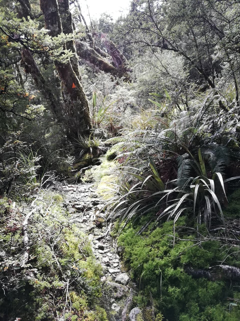
Fiordland National Park, SL
A steep, rough climb from Hollyford Road to the Routeburn.
Photo: André Richard Chalmers, CC BY-SA 4.0, via Wikimedia Commons
Overview
Map & elevation
Plan your hike

The highest, rockiest slopes around here are a summer buffet for grizzly bears.
Fiordland Tour Guide
Parkwolf is a GPS audio tour guide for Fiordland National Park. As you drive, it chimes in with what’s ahead: hidden gems, upcoming stops, history, geology, and wildlife, right through your car’s speakers.
See the Fiordland audio tourRecorded for this area
Below the Mushroom“A mushroom on the forest floor is only the part of a fungus that produces spores. Much of the organism lives out of sight, as a network of fine threads spreading through the soil.”
Plays on the road 0.6 km from the trailhead in the Parkwolf Fiordland Tour Guide.
More stories near here in the app
“Fantastic app with many points of information… It’s great to just turn on while you’re driving and it gives you an audio tour of the national Park. We love it!!!!”


Trail guide
Deadmans Track is a steep, 3.3 km point-to-point climb from Lower Hollyford Road to the Routeburn Track, joining about half an hour before Harris Saddle. The short distance hides an expert, roughly five-hour ascent. Choose it if you have strong fitness and confident backcountry navigation; this is not a casual side walk. The 3.3 km is one way. To finish where you parked, you have to retrace the route, while continuing along the Routeburn or toward Conical Hill adds a separate outing.
A faint path leaves a small signed clearing and enters dense beech forest. The tread can disappear among roots, mossy rocks, fallen trunks and thick growth, so keep looking for the orange markers. The climb steepens through the forest, with boggy ground and hidden puddles on flatter patches. It is rough, slow going even before you reach the open slope.
Near the top, the route crosses a boulder-strewn creek, then climbs again through wet tussock and up a steep grass slope. The creek can become impassable after heavy rain, so check conditions before setting out. The trees thin near the end and the Hollyford Valley and Fiordland mountains open out behind you. The route finishes at the Routeburn Track; the shelter and Harris Saddle are beyond that junction.
Turn off Milford Road at Marian Corner and follow the unsealed Lower Hollyford Road to the signed clearing about 2 km below Gunns Camp. The clearing is very small, with room reported for only two or three cars. Plan your return before you start: this is a point-to-point route, and the same steep track is the way back to your vehicle. Dogs are not allowed; other pets follow conservation-land rules. Book ahead if you continue to a Routeburn hut or campsite overnight.
Wildlife
 1,233 sightingsKeaMost seen around 10 AMSighting map
 214 sightingsFiordland PenguinMost seen around 7 PMSighting map
 233 sightingsBlue DuckMost seen around 5 PMSighting map
 32 sightingsBottlenose DolphinMost seen around 5 PMSighting map
 252 sightingsNew Zealand Fur SealMost seen around 6 PMSighting map
 69 sightingsKākāMost seen around 6 PMSighting map
Sighting maps show where each species has been reported across Fiordland. Wildlife moves, so no sighting is guaranteed.
Keep exploring
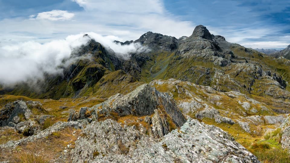 ModerateConical Hill Track2 km · 1.8 hr · 3.6 km awayA steep summit detour looks down the Hollyford to the Tasman Sea.
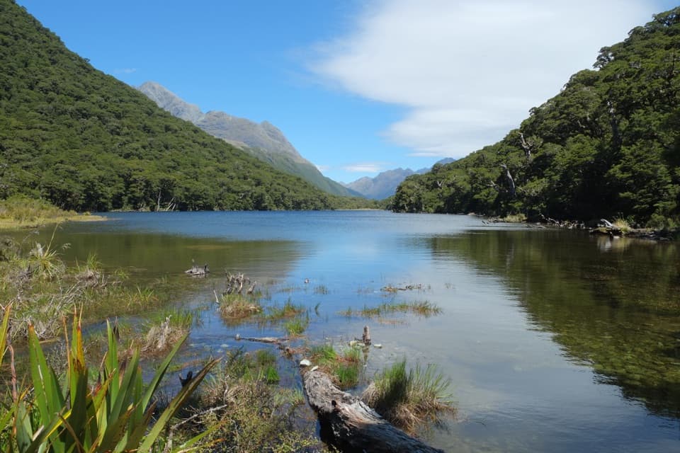 ChallengingPass Creek Track6 km · 4 hr · 4.9 km awayAn old cattle track climbs from Hollyford to Lake Howden.
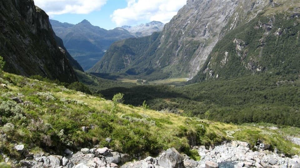 ChallengingMoraine Creek Route to Tent Flat9.5 km · 10 hr · 5.8 km awayA steep climb through bush to boggy Tent Flat.
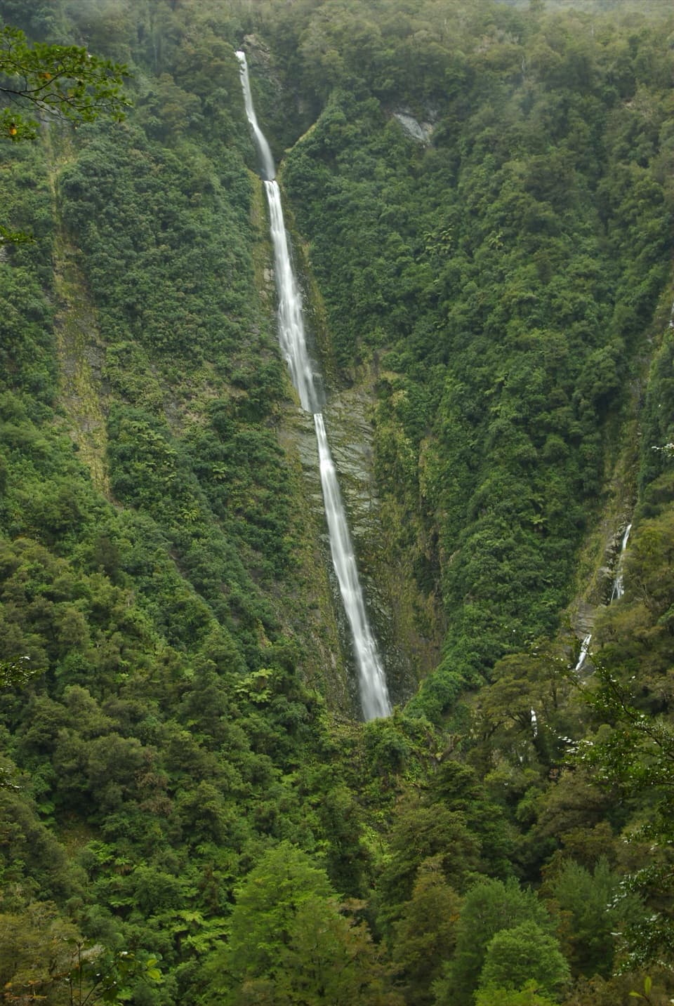 EasyHumboldt Falls Track1.2 km · 30 min · 6.5 km awayA short rainforest climb to a distant waterfall view.
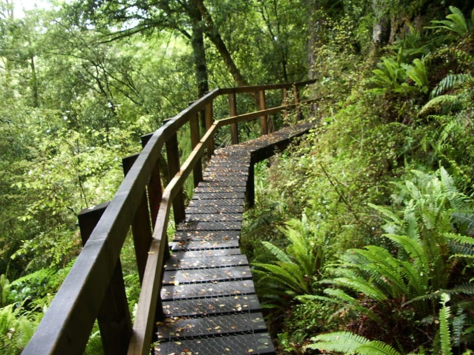 ChallengingHollyford Track56 km · 23.5 hr · 6.6 km awayA 35-mile tramp from deep valley forest to a remote coast.
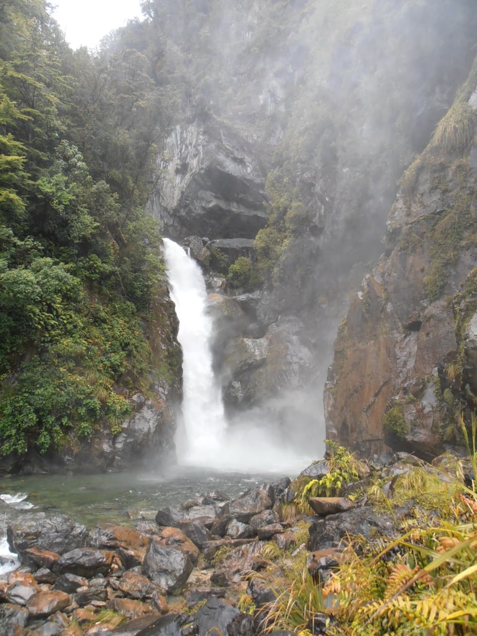 ModerateHollyford Track: Hidden Falls Track18 km · 5 hr · 6.6 km awayA long valley walk to Hidden Falls, with a rough final spur.
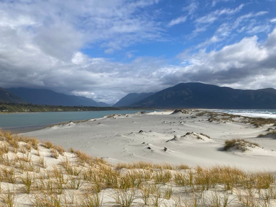 ChallengingPyke–Big Bay Route88 km · 1.3 days · 6.6 km awayA demanding traverse from river valleys to Fiordland's wild coast.
 ChallengingLake Marian Track6.2 km · 3.5 hr · 7 km awayWaterfalls first, then a high lake in a glacial hanging valley.
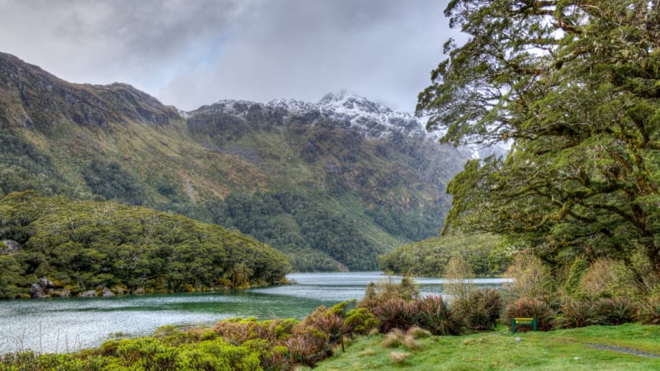 Sight · 3.2 km awayLake MackenzieA lakeside pause after the Routeburn's exposed high country.
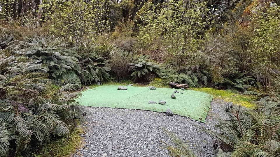 Campground · 3.2 km awayLake Mackenzie CampsiteA walk-in lakeside camp with tent pads and a cooking shelter.
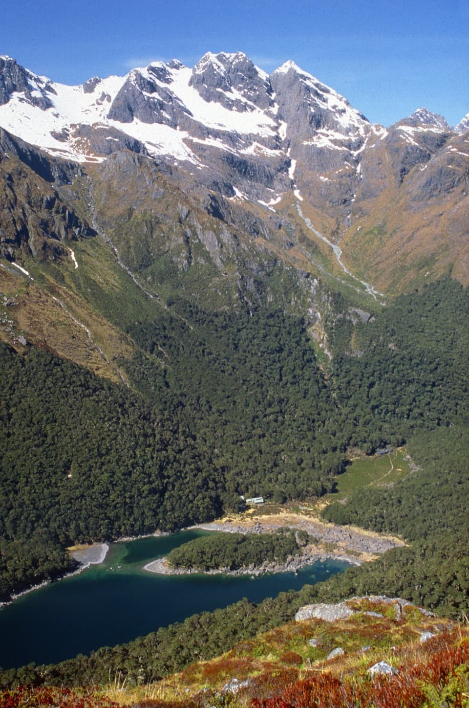 Lodging · 3.2 km awayLake Mackenzie HutA 50-bunk Great Walk hut beside a subalpine lake.
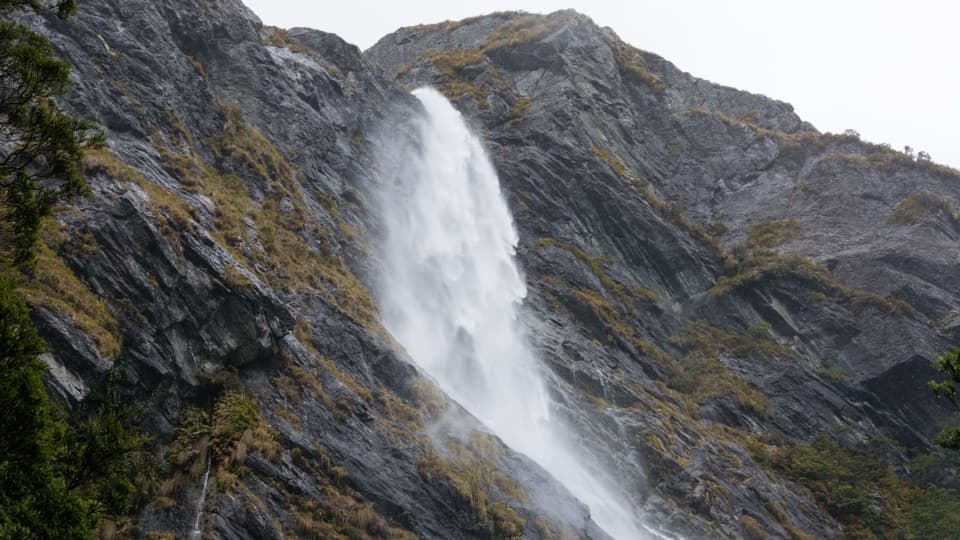 Sight · 6 km awayEarland FallsA 174 m waterfall that earns a full Routeburn day walk.Sight · 6.2 km awayHumboldt FallsA 275-metre waterfall at the end of a rainforest detour.
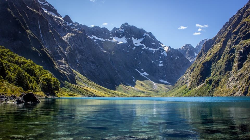 Sight · 6.4 km awayLake MarianA steep climb pays off with a lake framed by sharp peaks.
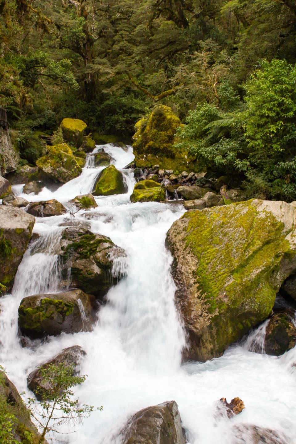 Sight · 6.7 km awayLake Marian FallsA short walk to swift, boulder-framed cascades.
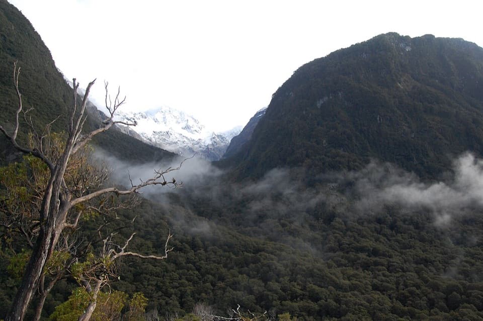 Sight · 6.9 km awayPop's View LookoutA roadside pull-off for a long look down the Hollyford Valley.
Parkwolf’s Fiordland ranking

The audio tour guide for the drive, plus offline maps, trails, and wildlife heatmaps for when the signal drops.




