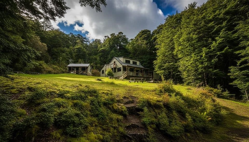
Parking
Use the Pearl Harbour boat ramp at the southern edge of Manapouri for the water taxi or private boat crossing. Arrange return transport; there is no road access or vehicle parking at the far-side jetty.

Fiordland National Park, SL
Advanced 6.9 km loop to a Lake Manapouri lookout in Fiordland
Overview
The Pearl Harbour return via Circle Track is a 6.9 km (4.3 mile) half-day loop through beech and podocarp forest, with a steep climb to a lookout over Lake Manapouri and the Hunter Mountains. Allow 3–3.5 hours for the full visitor route, including the approach from the jetty.
 Parkwolf’s verdictWhy go
Map & elevation
Plan your hike

The highest, rockiest slopes around here are a summer buffet for grizzly bears.
Fiordland Tour Guide
Parkwolf is a GPS audio tour guide for Fiordland National Park. As you drive, it chimes in with what’s ahead: hidden gems, upcoming stops, history, geology, and wildlife, right through your car’s speakers.
See the Fiordland audio tourRecorded for this trailhead
Manapouri Track: A Lesser-Known Fiordland Hike“The trailhead for the Manapouri Track is nearby. If you're looking for a classic Fiordland experience without the crowds, this is a great choice.”
Plays as you drive up to this trailhead in the Parkwolf Fiordland Tour Guide.
More stories near here in the app
“Fantastic app with many points of information… It’s great to just turn on while you’re driving and it gives you an audio tour of the national Park. We love it!!!!”


Trail guide
From the jetty opposite Pearl Harbour, follow the flat riverside track for about 15 minutes to the loop junction. Turn left and go clockwise to tackle the steepest climbing first. After the roughly 356 m climb, take the signed spur to the main viewpoint, keeping well back from the eroding cliff edge, then return to the main track. Descend the ridgeline to the Hope Arm Track junction, turn right, and follow the lakeshore back to the loop junction and the jetty. The route passes through dense native forest and offers views of Lake Manapouri, the Hunter Mountains and Mount Titiroa.
A water taxi or private boat is required to cross the Waiau River from the Pearl Harbour boat ramp at the southern edge of Manapouri; arrange the return crossing before setting out. There is no road access or vehicle parking at the far-side jetty. Carry all water and food: there are no toilets or water facilities on the track.
DOC rates this an Advanced tramping track. Expect steep, often muddy ground, treefall and orange markers that can be obscured by dense bush. The viewpoint cliff is eroding and may be unstable, and sandflies are common along the lakeshore. Dogs are not permitted; wear sturdy footwear and avoid the track after heavy rain.
Listen for native birds including New Zealand robin, tomtit, tūī, bellbird and fantail. The track is usable year-round, with milder conditions generally from late spring through early autumn. A personal locator beacon is sensible for this remote crossing and backcountry route.
Wildlife
 1,181 sightingsKeaMost seen around 10 AMSighting map
 199 sightingsFiordland PenguinMost seen around 7 PMSighting map
 228 sightingsBlue DuckMost seen around 5 PMSighting map
 32 sightingsBottlenose DolphinMost seen around 5 PMSighting map
 247 sightingsNew Zealand Fur SealMost seen around 6 PMSighting map
 58 sightingsKākāMost seen around 6 PMSighting map
Sighting maps show where each species has been reported across Fiordland. Wildlife moves, so no sighting is guaranteed.
Keep exploring
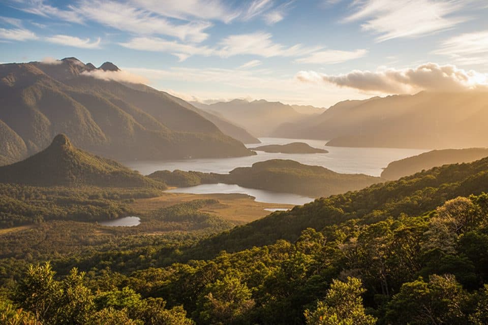 ChallengingManapouri Circle Track9 km · 3.8 hr · At the trailheadA demanding Fiordland loop to a 300 m lake viewpoint, reached by water taxi
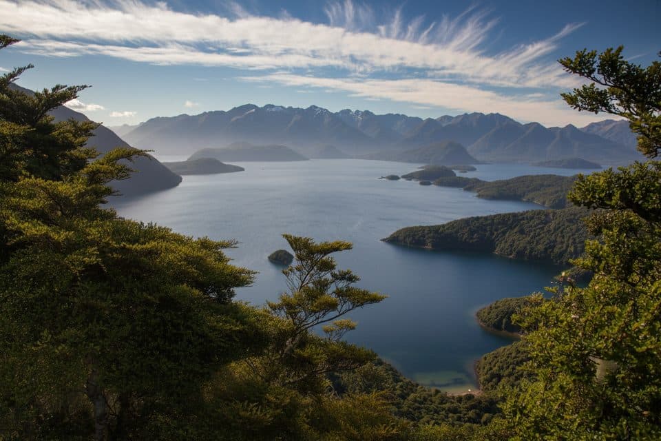 ModerateHope Arm Track17.2 km · 5 hr · 0.9 km awayQuiet beech-forest walk to Hope Arm Hut and a lakeside beach on Lake Manapouri
 ChallengingMonument Track1.9 km · 1.8 hr · 5.5 km awayA steep, boat-in scramble to Lake Manapouri’s grandstand view
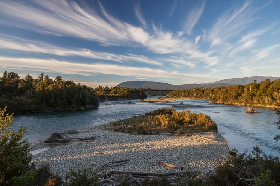 EasyKepler Track: Rainbow Reach to Shallow Bay12.1 km · 3.5 hr · 9.6 km awayA gentle Kepler Track sampler from Rainbow Reach to Shallow Bay.
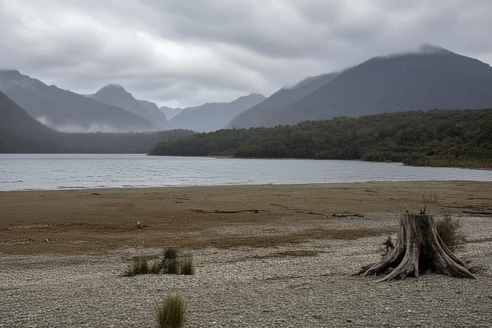 EasyShallow Bay Track12.1 km · 3.5 hr · 9.7 km awayBeech forest stroll to Lake Manapouri’s quiet, swimmable Shallow Bay.
 ChallengingKepler Track60 km · 1.3 days · 15.5 km awayA 60 km Great Walk loop through beech forest, lakeshores, and exposed alpine ridges.
 EasyDock Bay Track4.6 km · 1.3 hr · 15.5 km awayShort lakeside walk to Dock Bay, forest, and a swim spot.
 ChallengingLuxmore Summit Track33.5 km · 9 hr · 15.5 km awayClimb through beech forest to Mt Luxmore's high alpine views.
Parkwolf’s Fiordland ranking
The audio tour guide for the drive, plus offline maps, trails, and wildlife heatmaps for when the signal drops.