Parking
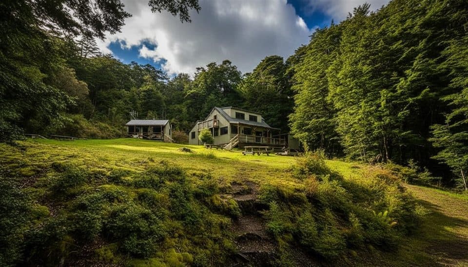
Park in Manapouri at Pearl Harbour, then arrange the short water taxi across the lower Waiau River to the Circle Track jetty.
Fiordland National Park, SL
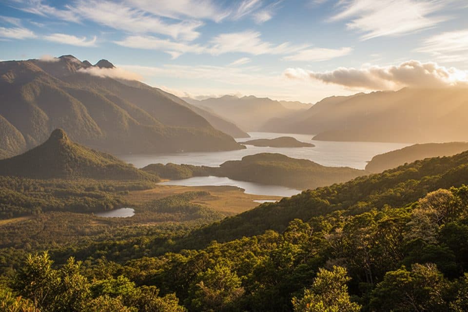
A demanding Fiordland loop to a 300 m lake viewpoint, reached by water taxi
Overview
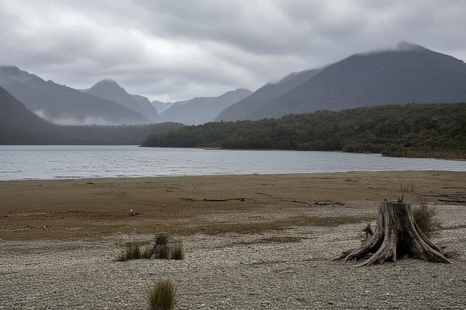
This demanding half-day loop combines Fiordland beech forest, a steep climb to a hill viewpoint above Lake Manapouri, and quieter shoreline sections. The route is remote-feeling even though the walk itself is short enough for a long morning or afternoon.
 Parkwolf’s verdictWhy hike it
Map & elevation
Plan your hike

The highest, rockiest slopes around here are a summer buffet for grizzly bears.
Fiordland Tour Guide
Parkwolf is a GPS audio tour guide for Fiordland National Park. As you drive, it chimes in with what’s ahead: hidden gems, upcoming stops, history, geology, and wildlife, right through your car’s speakers.
See the Fiordland audio tourRecorded for this trailhead
Manapouri Track: A Lesser-Known Fiordland Hike“The trailhead for the Manapouri Track is nearby. If you're looking for a classic Fiordland experience without the crowds, this is a great choice.”
Plays as you drive up to this trailhead in the Parkwolf Fiordland Tour Guide.
More stories near here in the app
“Fantastic app with many points of information… It’s great to just turn on while you’re driving and it gives you an audio tour of the national Park. We love it!!!!”


Trail guide
Take a water taxi from Manapouri's Pearl Harbour across the lower Waiau River to the Circle Track jetty. From the jetty, follow the flat riverside approach for about 15 minutes to the signed loop junction. Go left for the recommended clockwise circuit: the steepest, often muddy climb comes early, leading to a viewpoint around 300 metres above the lake. The track then rolls through beech forest and returns via the mapped lakeside and beach section before rejoining the approach and the jetty.
The complete mapped visitor circuit is about 9 km (5.6 miles), including the shared approach and the short mapped beach spur, and usually takes 3.5–4 hours with stops. This is an Advanced tramping track: expect steep grades, roots, mud, and slippery footing after rain. The stored line follows the full connected traversal from the jetty, around the loop, back to the junction, and out along the shared approach; it is not a disconnected collection of route fragments.
There is no bridge across the Waiau River, so arrange and pay for a water taxi and confirm the return pickup before setting out. There are no facilities on the track—carry food, water, warm layers, and rain gear. Fiordland weather changes quickly, and dogs are not permitted on this conservation-land route. The lake, beech forest, fantails, robins, and occasional red deer are rewards for hikers comfortable with the rougher footing and extra boat logistics.
Wildlife
 1,181 sightingsKeaMost seen around 10 AMSighting map
 199 sightingsFiordland PenguinMost seen around 7 PMSighting map
 228 sightingsBlue DuckMost seen around 5 PMSighting map
 32 sightingsBottlenose DolphinMost seen around 5 PMSighting map
 247 sightingsNew Zealand Fur SealMost seen around 6 PMSighting map
 58 sightingsKākāMost seen around 6 PMSighting map
Sighting maps show where each species has been reported across Fiordland. Wildlife moves, so no sighting is guaranteed.
Keep exploring
 ChallengingCircle Track6.9 km · 3.5 hr · At the trailheadAdvanced 6.9 km loop to a Lake Manapouri lookout in Fiordland
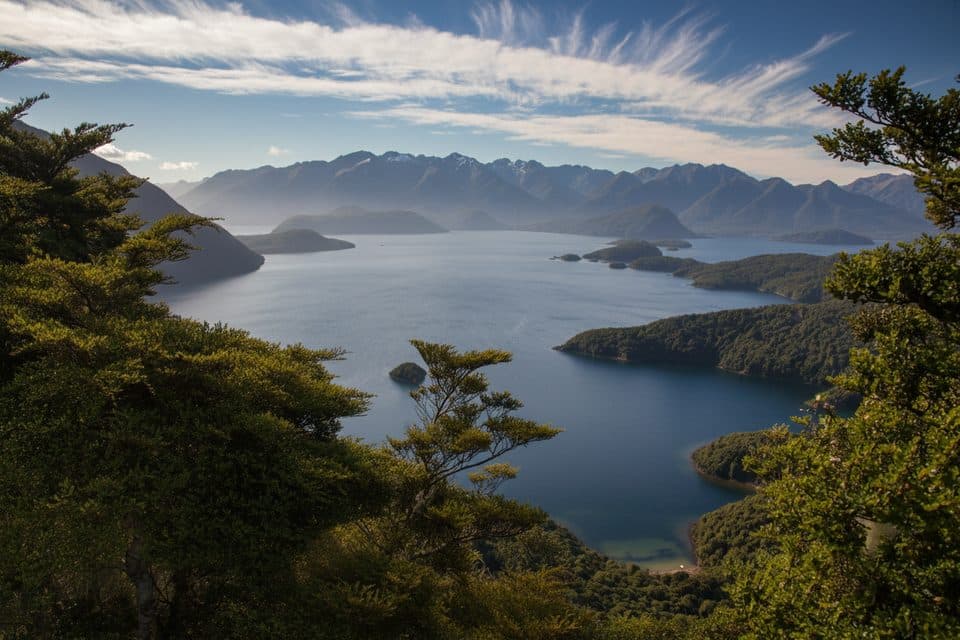 ModerateHope Arm Track17.2 km · 5 hr · 0.8 km awayQuiet beech-forest walk to Hope Arm Hut and a lakeside beach on Lake Manapouri
 ChallengingMonument Track1.9 km · 1.8 hr · 5.5 km awayA steep, boat-in scramble to Lake Manapouri’s grandstand view
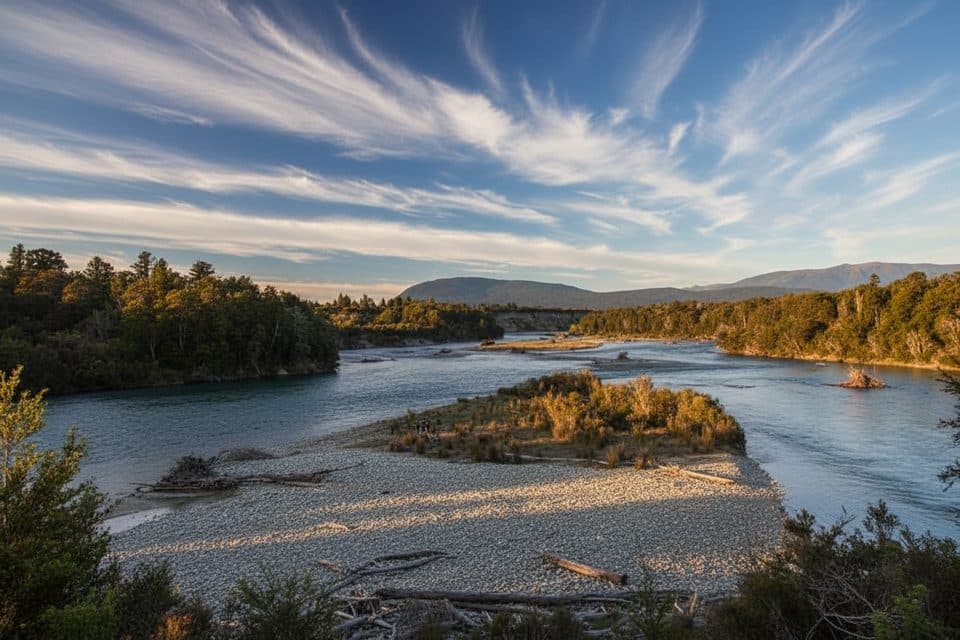 EasyKepler Track: Rainbow Reach to Shallow Bay12.1 km · 3.5 hr · 9.6 km awayA gentle Kepler Track sampler from Rainbow Reach to Shallow Bay.
 EasyShallow Bay Track12.1 km · 3.5 hr · 9.7 km awayBeech forest stroll to Lake Manapouri’s quiet, swimmable Shallow Bay.
 ChallengingKepler Track60 km · 1.3 days · 15.5 km awayA 60 km Great Walk loop through beech forest, lakeshores, and exposed alpine ridges.
 EasyDock Bay Track4.6 km · 1.3 hr · 15.5 km awayShort lakeside walk to Dock Bay, forest, and a swim spot.
 ChallengingLuxmore Summit Track33.5 km · 9 hr · 15.5 km awayClimb through beech forest to Mt Luxmore's high alpine views.
Parkwolf’s Fiordland ranking
The audio tour guide for the drive, plus offline maps, trails, and wildlife heatmaps for when the signal drops.