Parking
Rainbow Reach car park is at the end of Rainbow Reach Road, about 12 km south of Te Anau. Shuttle services reach the car park. Cross the swing bridge to start.
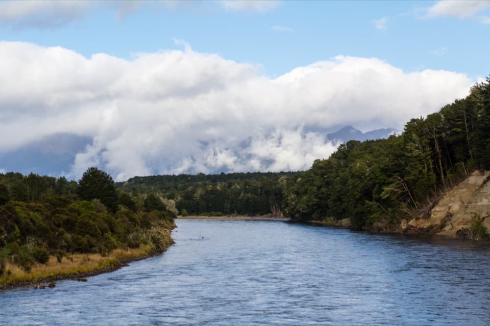
Fiordland National Park, SL
A bog boardwalk breaks up the forest walk to Lake Manapouri.
Overview
Map & elevation
Plan your hike

The highest, rockiest slopes around here are a summer buffet for grizzly bears.
Fiordland Tour Guide
Parkwolf is a GPS audio tour guide for Fiordland National Park. As you drive, it chimes in with what’s ahead: hidden gems, upcoming stops, history, geology, and wildlife, right through your car’s speakers.
See the Fiordland audio tourRecorded for this trailhead
Rainbow Reach and Moturau Hut“You're approaching Rainbow Reach, where a swing bridge over the Waiau River leads into the lower Kepler Track.”
Plays as you drive up to this trailhead in the Parkwolf Fiordland Tour Guide.
More stories near here in the app
“Fantastic app with many points of information… It’s great to just turn on while you’re driving and it gives you an audio tour of the national Park. We love it!!!!”


Trail guide
This is a 12 km (7.5 mi) return walk on the Kepler Track from Rainbow Reach to Moturau Hut and back. Allow about 3–3.5 hours; the track is rated intermediate. From the car park, cross the swing bridge and follow the track toward Control Gates for about 200 m, then turn left up a short, steep climb. After that the route undulates gently through mountain beech forest, with occasional views of the Waiau River. If you want a shorter walk, the separate Shallow Bay Hut route branches off before Moturau and is 3.9 km each way.
About 45–60 minutes from the car park, a 200 m boardwalk crosses the Amoeboid Mire. Interpretation panels explain the multi-lobed bog, and a lookout opens over its central tarn. This mire sits on a terrace left as the Manapouri glacier melted. Yellow-silver pine and pygmy pine, both uncommon at low elevations, grow among the mire plants; sedges dominate its wetter southeast edge. The lookout is the route’s clearest photo stop: include the tarn and the bog’s lobed edge to show what makes this stretch different from the surrounding forest.
Continue past the Shallow Bay Hut turnoff to Moturau Hut, set near the Lake Manapouri shore. The hut clearing is a good place to pause by the water; swimming and kayaking are possible there. Moturau is a 40-bunk Great Walk hut. Bookings apply if you are staying overnight during the Great Walks season; that is separate from this day walk. Dogs are not allowed on the track.
The swing bridge at Rainbow Reach gives the walk its first broad view of the Waiau. Some scenes from The Lord of the Rings films were shot near this stretch of river, though there is no precise filming spot to look for. The river setting and the mire boardwalk give this walk more variety than a forest connector, while the return follows the same path throughout.
Wildlife
 1,233 sightingsKeaMost seen around 10 AMSighting map
 214 sightingsFiordland PenguinMost seen around 7 PMSighting map
 233 sightingsBlue DuckMost seen around 5 PMSighting map
 32 sightingsBottlenose DolphinMost seen around 5 PMSighting map
 252 sightingsNew Zealand Fur SealMost seen around 6 PMSighting map
 69 sightingsKākāMost seen around 6 PMSighting map
Sighting maps show where each species has been reported across Fiordland. Wildlife moves, so no sighting is guaranteed.
Keep exploring
ModerateKepler Track: Rainbow Reach to Shallow Bay Hut12 km · 3.3 hr · 0.2 km awayA side branch to a six-bunk hut on Lake Manapouri. ChallengingKepler Track60 km · 21 hr · 5.7 km awayFour days from lakeside beech forest to an open alpine ridge.
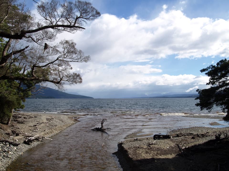 ChallengingKepler Track: Carpark to Luxmore Hut27.6 km · 9 hr · 5.7 km awayA lakeshore approach turns into a steep climb to alpine views.
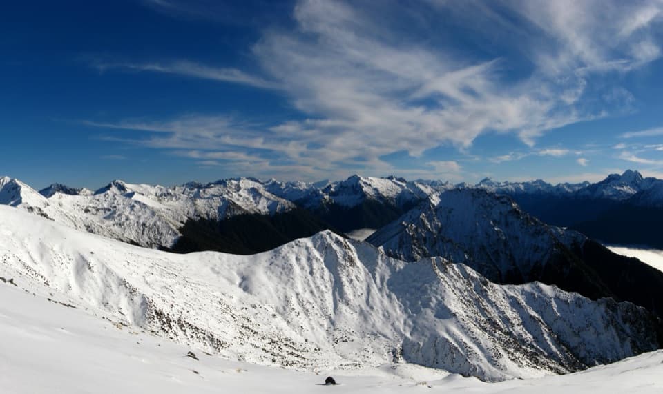 ChallengingMount Luxmore Summit via Kepler Track35.6 km · 12 hr · 5.7 km awayLakeside forest, limestone bluffs, and a high alpine summit.
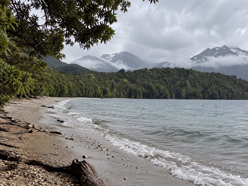 ModerateKepler Track: Carpark to Dock Bay and Brod Bay11.2 km · 3 hr · 5.7 km awayFern groves, two swimming bays, and a sandy lakefront campsite.ModerateKepler Track: Control Gates to Rainbow Reach9.5 km · 2.5 hr · 5.7 km awayFollow the Waiau through beech forest to a swingbridge finish.
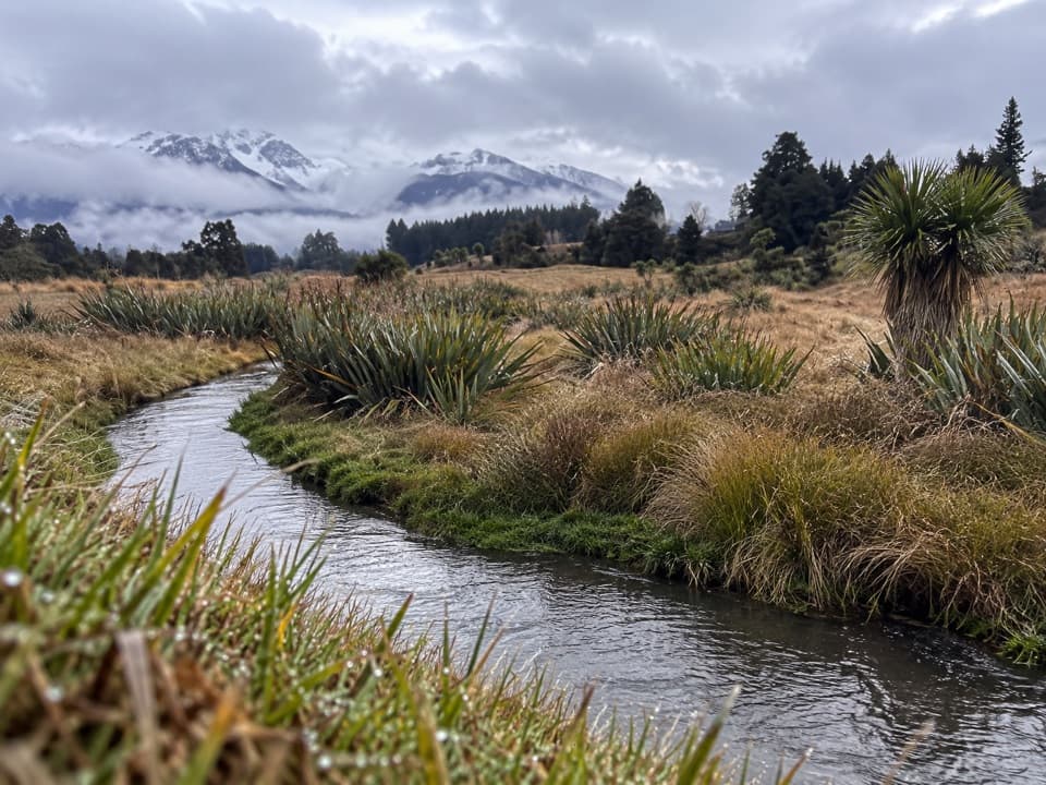 EasyHome Creek Walk1.6 km · 30 min · 8.5 km awayA short loop beside a naturally meandering stream near Manapouri.
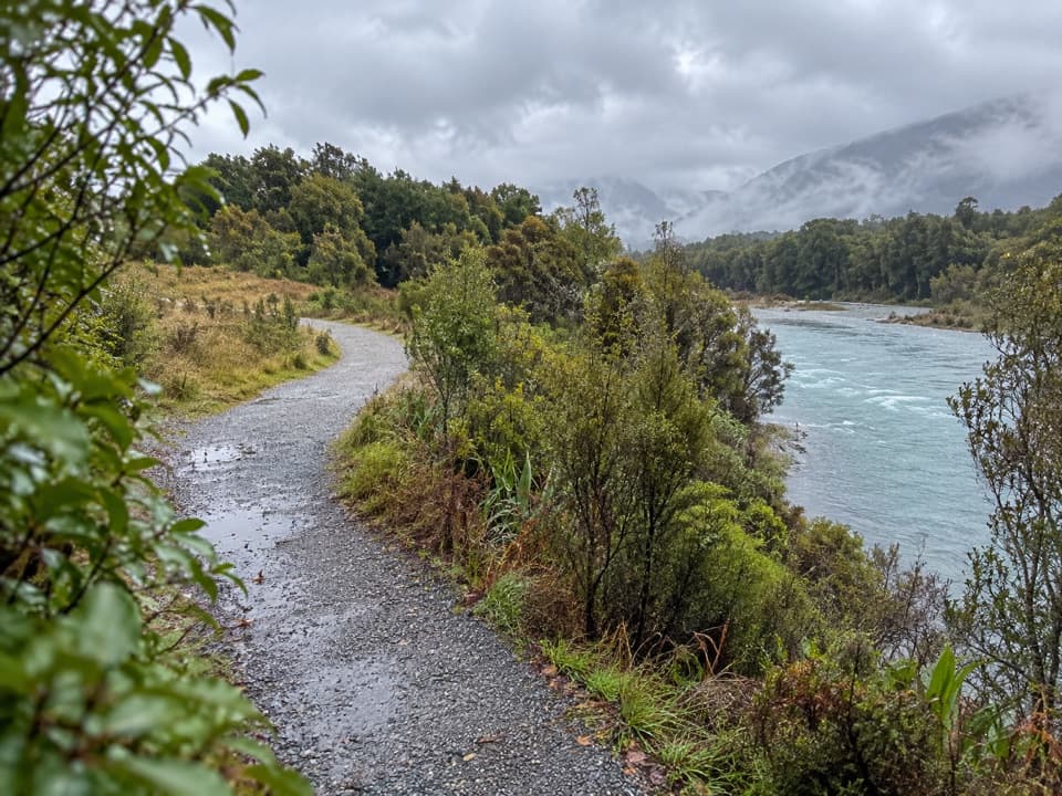 ModerateLake2Lake Trail29.8 km · 7.5 hr · 8.6 km awayFollow the Waiau from Te Anau’s lakefront to Manapouri.
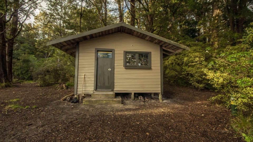 Lodging · 4 km awayShallow Bay HutA six-bunk lakeside hut reached on foot or across the lake.
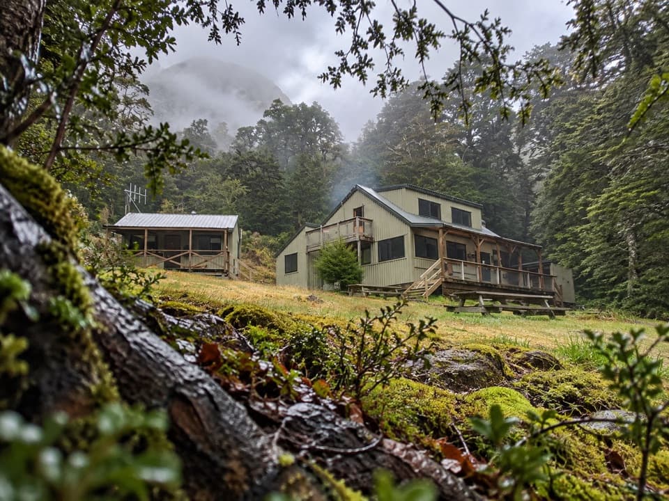 Lodging · 4.2 km awayMoturau HutA lakeside Great Walk hut with its own beach and swim spot.
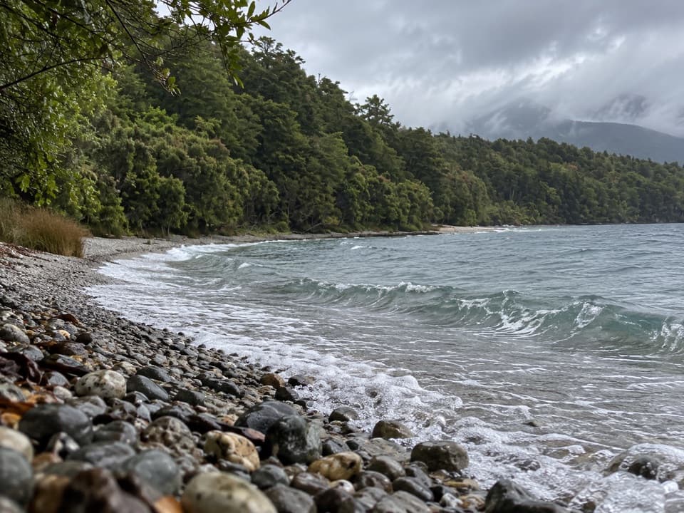 Beach · 6.8 km awayDock BayA pebbly lakeside swim stop on the Kepler Track.
 Sight · 7.5 km awayTe Anau Bird SanctuaryA rare takahē encounter in a short lakeside stop.
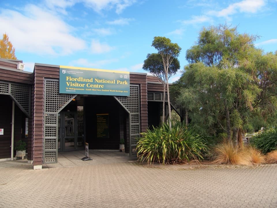 Visitor center · 8.5 km awayTe Rua-o-te-moko / Fiordland National Park Visitor CentreGet track options sorted before you head into the backcountry.
 Sight · 8.9 km awayTe Anau Glowworm CavesA lake cruise ends beneath a silent glowworm canopy.
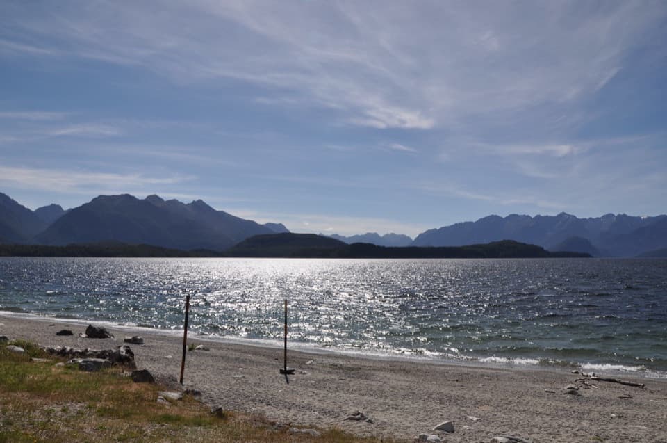 Beach · 8.9 km awayFrasers BeachA lakeside pause with sunset views and an easy beach walk.
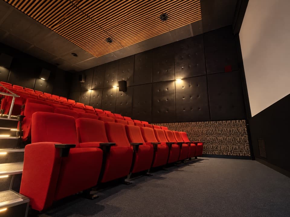 Sight · 9.3 km awayFiordland CinemaA 32-minute screen flight into country few roads reach.
Parkwolf’s Fiordland ranking

The audio tour guide for the drive, plus offline maps, trails, and wildlife heatmaps for when the signal drops.




