Parking
Small carpark on the west side of Milford Road at the Earl Mountain Tracks sign, about 71 km north of Te Anau.
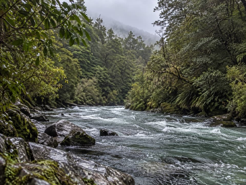
Fiordland National Park, SL
Beech forest gives way to open flats in Hut Creek’s upper valley
Overview
Map & elevation
Plan your hike

The highest, rockiest slopes around here are a summer buffet for grizzly bears.
Fiordland Tour Guide
Parkwolf is a GPS audio tour guide for Fiordland National Park. As you drive, it chimes in with what’s ahead: hidden gems, upcoming stops, history, geology, and wildlife, right through your car’s speakers.
See the Fiordland audio tourRecorded for this trailhead
Earl Mountain Tracks and Hut Creek“You're nearing the Earl Mountain Tracks car park, where Hut Creek offers a demanding valley walk. Save this for a full outing: allow about six hours return through beech forest to open river flats.”
Plays as you drive up to this trailhead in the Parkwolf Fiordland Tour Guide.
More stories near here in the app
“Fantastic app with many points of information… It’s great to just turn on while you’re driving and it gives you an audio tour of the national Park. We love it!!!!”


Trail guide
Hut Creek Track is a difficult out-and-back from the Earl Mountain Tracks carpark into the upper valley, through beech forest to open river flats. The continuous mapped route measures about 3.3 km (2.1 mi) each way, or 6.7 km (4.1 mi) return. Published track information lists 2.7 km one way, a difference of about 0.6 km each way that remains unresolved. Plan for the longer mapped distance and check the current track map before setting out. Allow about six hours return: the published three-hour estimate is to the bush edge, so expect to retrace that time on the way back. This is for fit trampers with backcountry navigation, survival and river-crossing skills.
From the Earl Mountain Tracks sign, follow the path to the walk wire over the Eglinton River, about 10 minutes from the carpark, then take the sign for Hut Creek. Cross Mistake Creek and climb the true left bank through beech forest. After roughly 1.5 hours, a clearing marks the Hut Creek crossing; continue on the true right bank until the track leaves the bush for open river flats. Turn around there and retrace the same route.
The Eglinton River is crossed by a walk wire; Mistake Creek and Hut Creek are wading crossings. After heavy rain, these rivers can run fast and high. Wait for levels to drop before attempting a crossing. The route enters avalanche terrain: danger is most common from May through November and can persist later while snow remains. Dogs are not allowed.
The small carpark is on the west side of Milford Road beside the Earl Mountain Tracks sign, about 71 km north of Te Anau.
Wildlife
 1,233 sightingsKeaMost seen around 10 AMSighting map
 214 sightingsFiordland PenguinMost seen around 7 PMSighting map
 233 sightingsBlue DuckMost seen around 5 PMSighting map
 32 sightingsBottlenose DolphinMost seen around 5 PMSighting map
 252 sightingsNew Zealand Fur SealMost seen around 6 PMSighting map
 69 sightingsKākāMost seen around 6 PMSighting map
Sighting maps show where each species has been reported across Fiordland. Wildlife moves, so no sighting is guaranteed.
Keep exploring
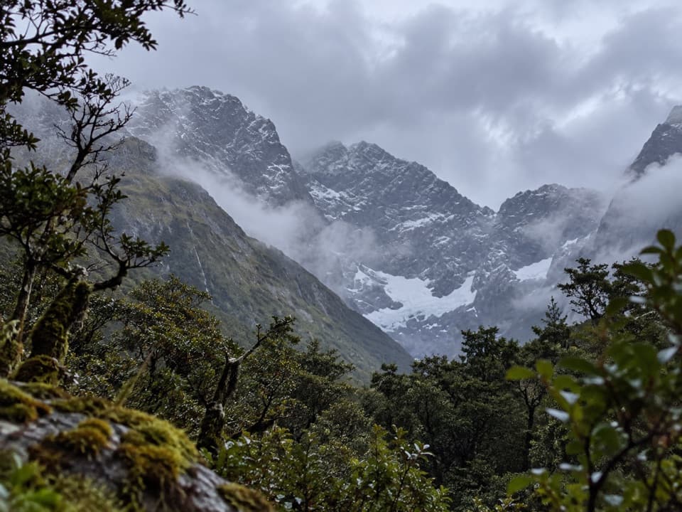 ChallengingMistake Creek Track11.3 km · 6.5 hr · At the trailheadA hard tramp into Mistake Creek's open valley flats.
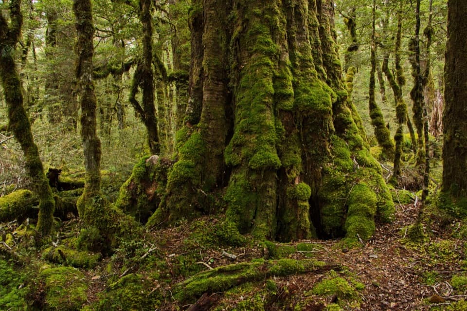 EasyLake Gunn Nature Walk1.4 km · 45 min · 3.6 km awayMossy beech forest, birds and a short beach detour
 ChallengingMilford Track53.5 km · 19.5 hr · 9.3 km awayFour days from Lake Te Anau to Milford Sound over McKinnon Pass.
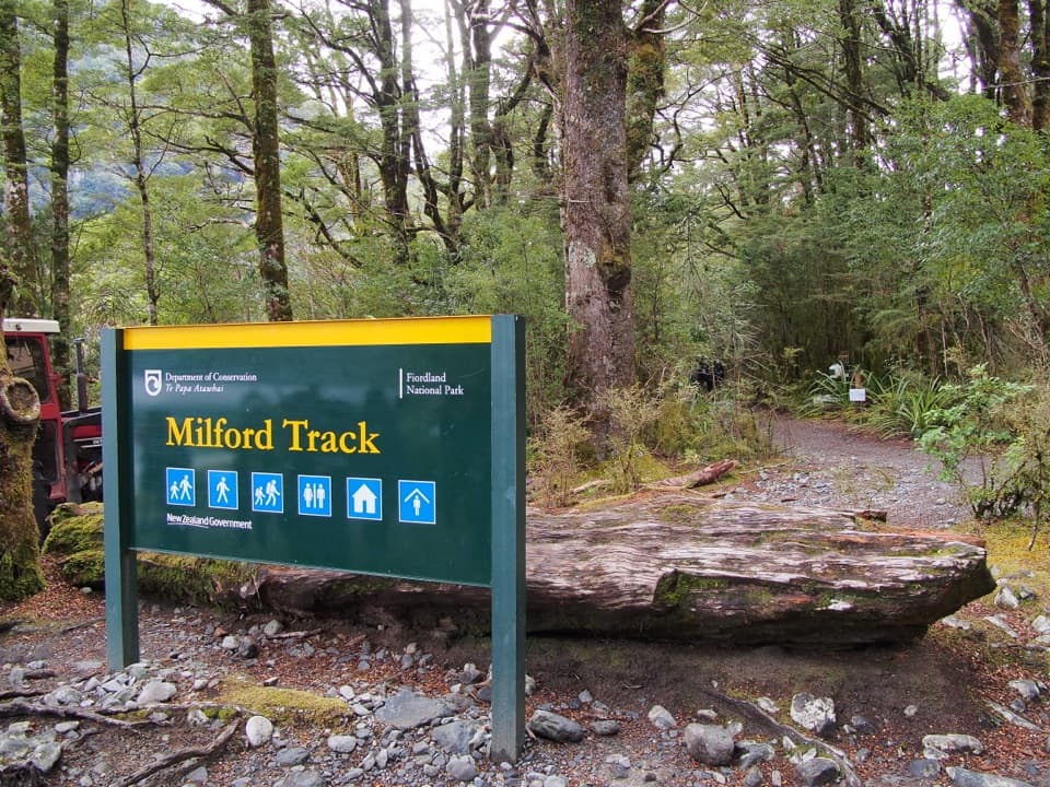 EasyMilford Track: Glade Wharf to Clinton Hut10 km · 2.5 hr · 9.3 km awayA gentle riverside beech walk to Milford Track’s first hut.
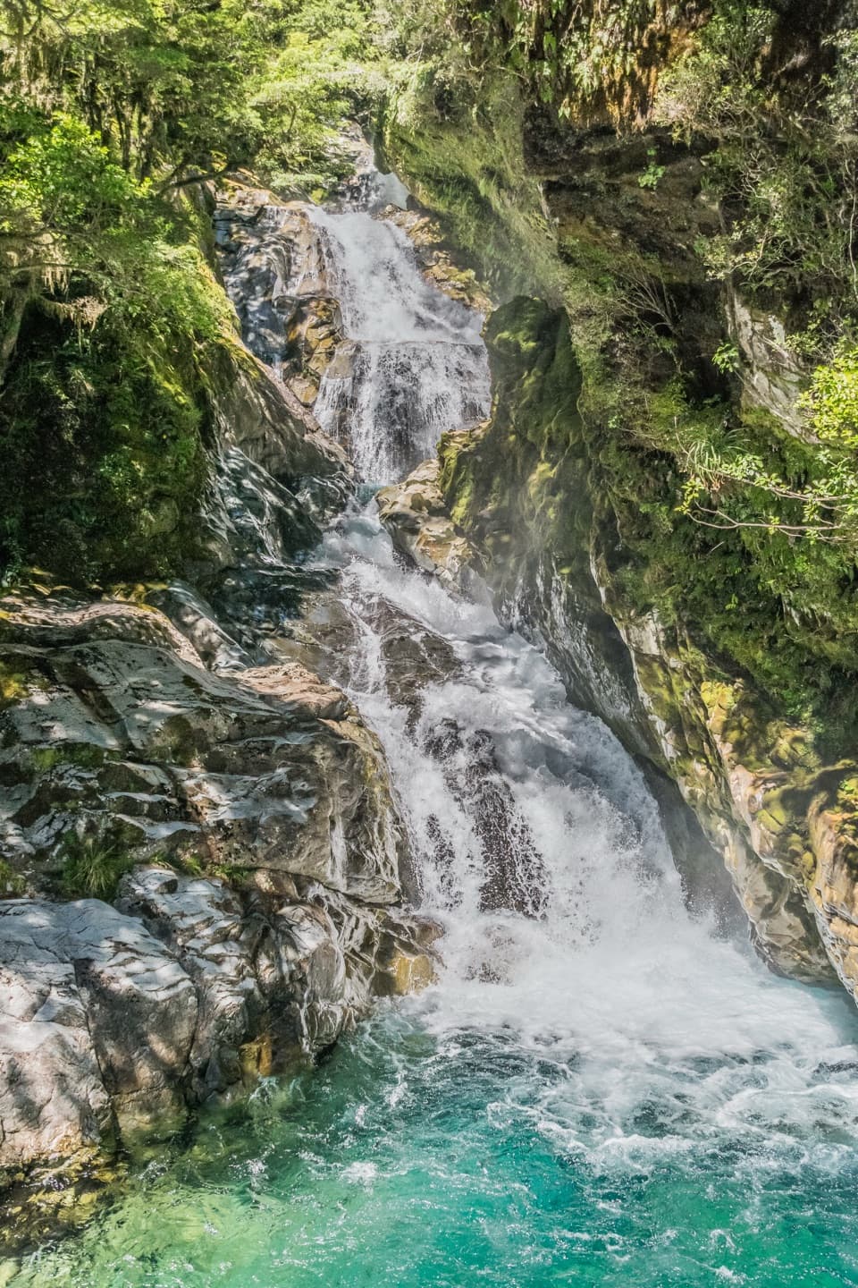 ChallengingFalls Creek Route to the Valley Flats6.6 km · 4 hr · 10.9 km awayA steep climb to remote flats beneath Fiordland peaks.
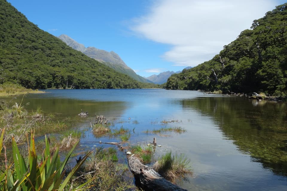 ModerateRouteburn Track: Lake Howden Track6.8 km · 3 hr · 11.3 km awaySilver beech forest leads to Lake Howden below the Key Summit turn-off.
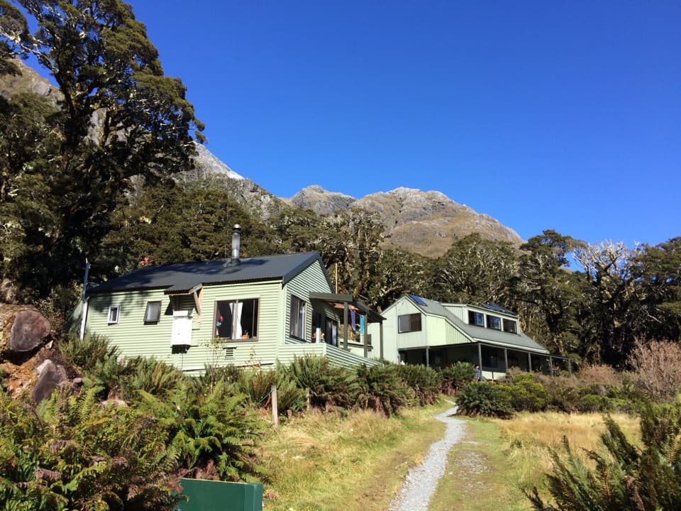 ChallengingRouteburn Track: The Divide to Lake Mackenzie Hut24 km · 10.5 hr · 11.3 km awayA 24 km return to Lake Mackenzie, with Earland Falls midway.
 ModerateRouteburn Track: Key Summit Track6.8 km · 3 hr · 11.3 km awayForest climb to alpine tarns and views over Hollyford Valley.
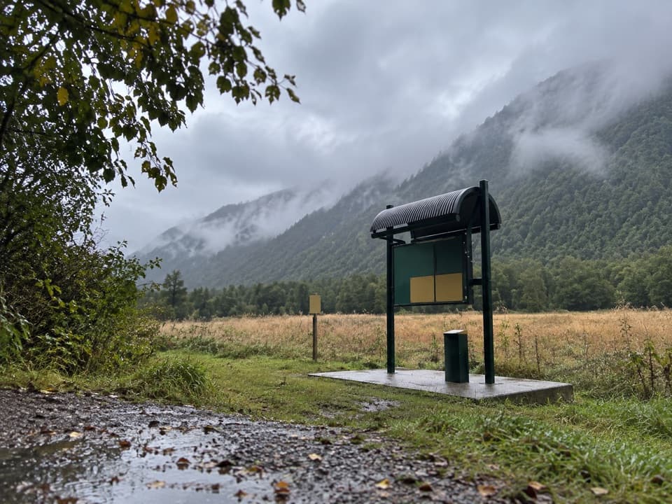 Campground · 1.9 km awayUpper Eglinton CampsiteThree tent sites, valley views; gravel access excludes larger vehicles.
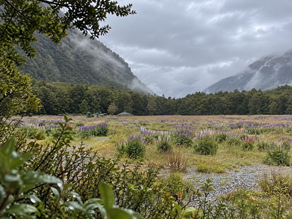 Campground · 3.2 km awayCascade Creek CampsiteUnpowered Lake Gunn camping beside the Milford Road nature walk.
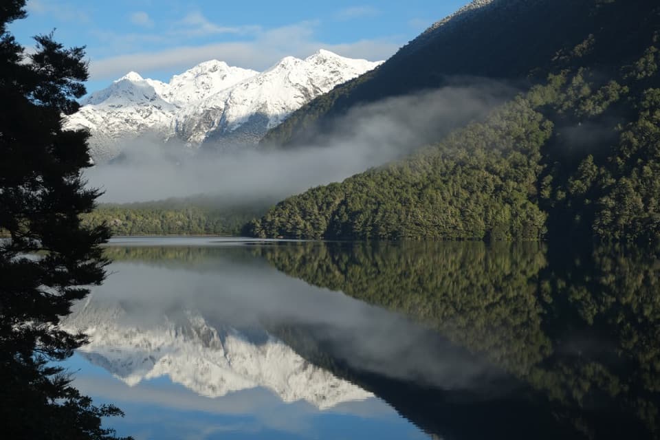 Sight · 5.2 km awayŌtāpara / Lake GunnA mossy beech walk to a lake of mountain reflections.
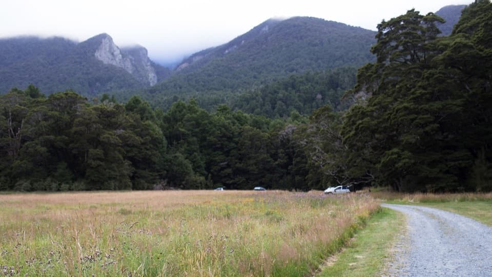 Campground · 7.2 km awayKiosk Creek CampsiteA low-key camp with a view of glacial moraine.
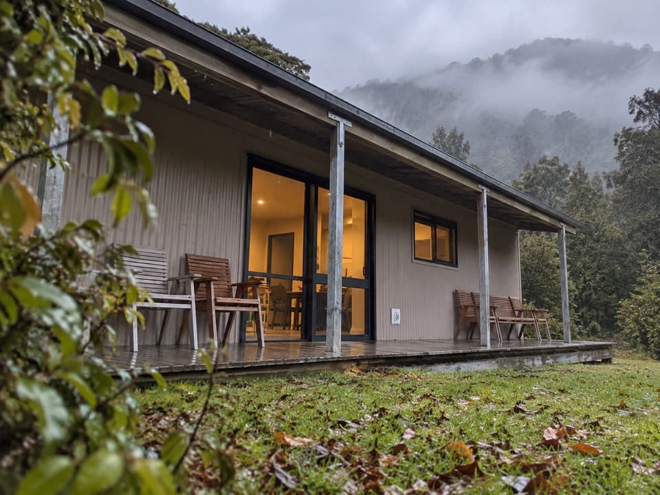 Campground · 7.5 km awayEglinton Valley CampA practical night between Te Anau and Milford Sound.
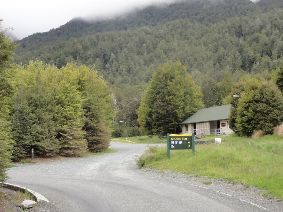 Restroom · 7.5 km awayKnobs FlatThe last flush toilets before Milford, with avalanche and wildlife panels.
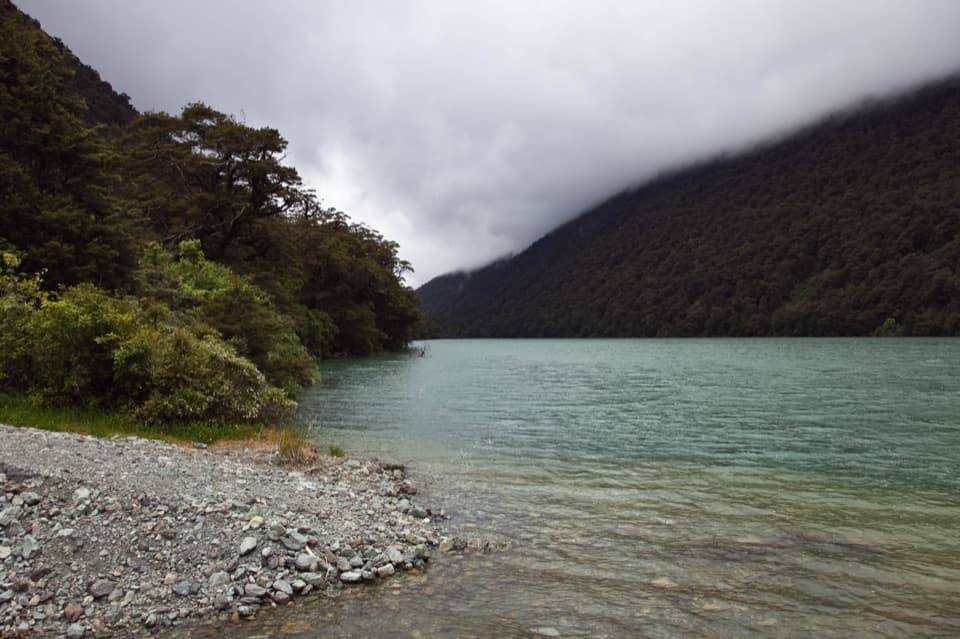 Sight · 9.2 km awayLake FergusA quick lake-and-mountain pause on the way to Milford Sound.
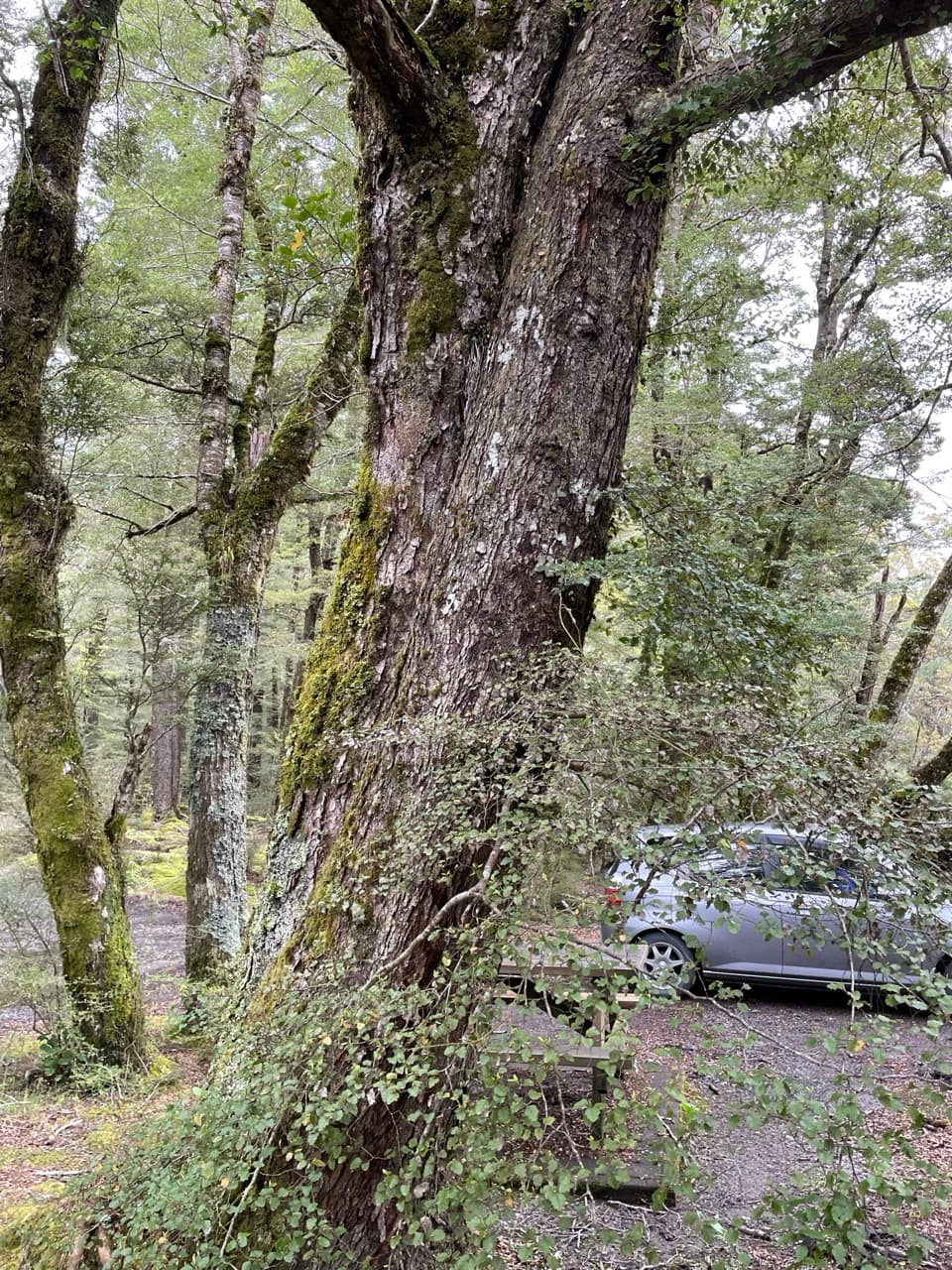 Campground · 10.1 km awayDeer Flat CampsiteA simple riverside night along the Milford Road.
Parkwolf’s Fiordland ranking

The audio tour guide for the drive, plus offline maps, trails, and wildlife heatmaps for when the signal drops.



