
Place · 0 mi away
Challenging
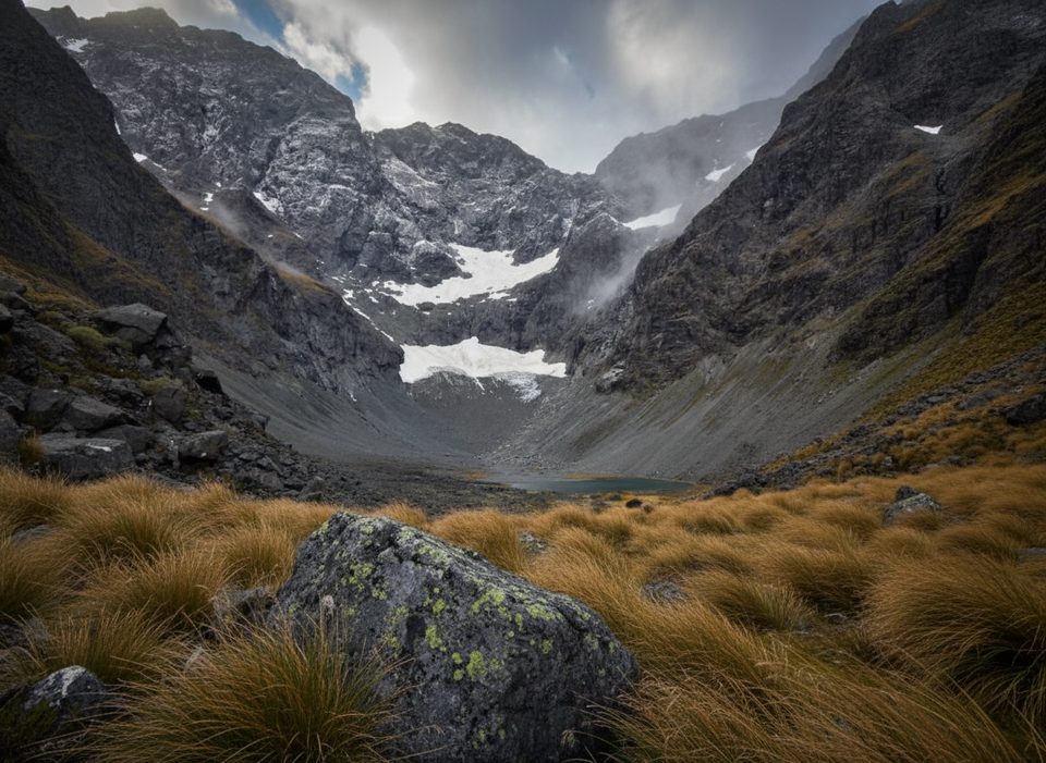
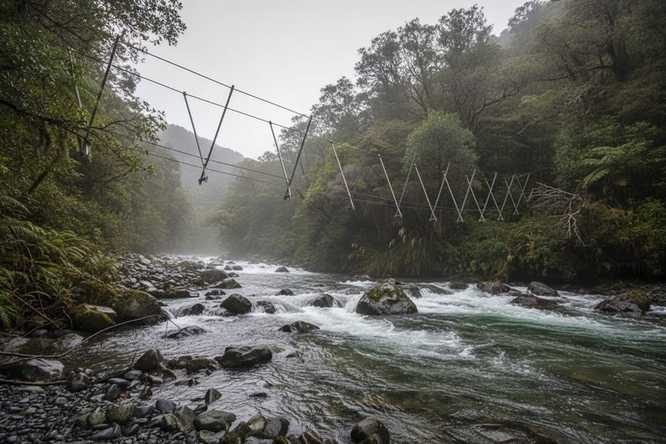
This is Fiordland at its rawest: a rough, wet, and wonderfully wild tramping track up Mistake Creek Valley. From the Earl Mountain Tracks carpark on Milford Road, you cross the Eglinton River via a single walk wire, then turn hard right to follow Mistake Creek up-valley. The track threads through dense beech forest before easing onto river flats at the bush edge, with big Earl Mountains looming on all sides.
It’s only 5 km one way (about 3.1 miles) to the flats, but don’t be fooled—travel is slow. Expect mud, overgrown sections with head‑high ferns and flax, and multiple unbridged crossings where water levels can spike after rain. Navigation is straightforward in the bush, then gets vague on the open flats; confident route‑finding is a must. If you’re looking for a formed, polished trail, this isn’t it.
You’ll move from shadowy red/beech forest and mossy creek banks to open tussock and grassy river flats framed by the Earl Mountains. Clear mountain streams and glaciated valley walls set the alpine tone. Those continuing beyond the flats toward U Pass (an advanced, alpine link to Hut Creek) encounter steeper tussock and scree; trip reports mention a dramatic waterfall in the valley and a true‑right bypass dubbed the “Improbable Staircase.”
Experienced trampers with solid river‑crossing skills and navigation. Beginners and fair‑weather walkers will find this frustrating or unsafe, especially after rain.
Summer to early autumn offers the most reliable weather and safer river levels. Winter and spring bring short days, cold temps, avalanche considerations in upper terrain, and extra‑hazardous crossings—only go if you have the training, gear, and a good window.
Low. This valley sees a fraction of the foot traffic found on Fiordland’s marquee tracks, which is exactly the appeal if you’re after solitude.
Falls Creek Route starts from the same carpark and offers similarly rugged alpine access—another good option if you’re shopping for a serious challenge.
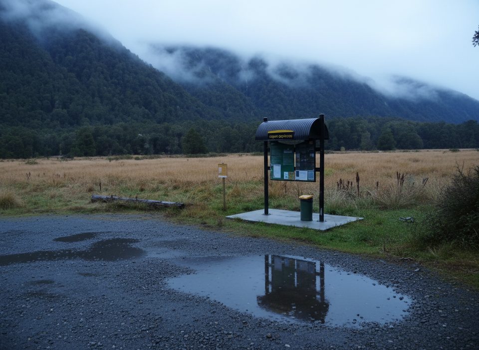
Park at the Earl Mountain Tracks carpark on Milford Road (SH94), ~71 km north of Te Anau. Basic roadside carpark with signage; no facilities.
Advanced tramping with multiple unbridged crossings; rivers rise rapidly after rain. The walk wire crosses the Eglinton near the start, but navigation becomes vague on open flats and the track is often muddy and overgrown. In winter/spring, upper terrain has avalanche considerations. Carry map/compass or GPS and a PLB; wait for safe water levels.
Place · 0 mi away
Place · 1.2 mi away

Place · 2 mi away

Place · 2.2 mi away
Easy · 2.2 mi away

Easy · 2.2 mi away
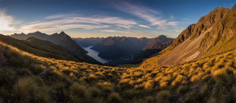
Challenging · 2.8 mi away
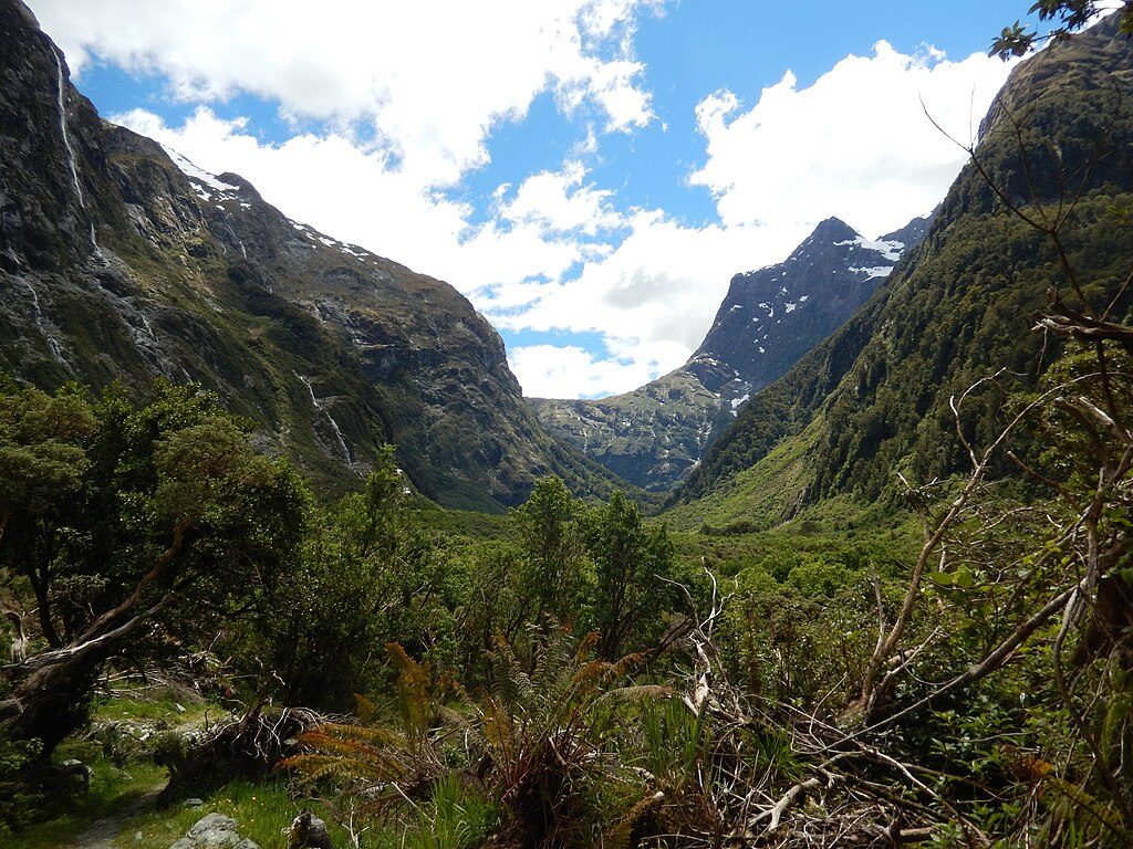
Challenging · 5.8 mi away

Parkwolf Tour Guide
