Kepler Track: Control Gates to Rainbow Reach in Fiordland National Park

Fiordland National Park, SL

Kepler Track: Control Gates to Rainbow Reach

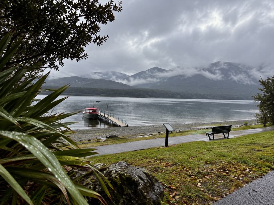
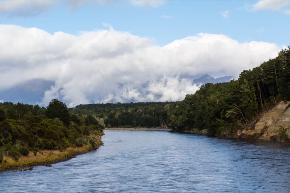
Follow the Waiau through beech forest to a swingbridge finish.

Photo: Oren Rozen / Wikimedia Commons / CC BY-SA 3.0

Length
9.5km
Time
2.5hr
Elev. change
43m
Difficulty
Moderate
  • No dogs
  • High point 233 m
  • #33 of 77 in Fiordland

Hear the audio tour

Kepler Control Gates and Dock Bay

Overview

About Kepler Track: Control Gates to Rainbow Reach

Why go

  • River terraces lead through red and mountain beech forest.
  • The swingbridge makes a memorable finish at Rainbow Reach.

Heads up

  • One-way logistics need a ride or a longer walk back.

Map & elevation

The route

Loading the Fiordland map
Full map
Elevation190–233 m
TrailheadKepler Track carpark (Control Gates)-45.44234, 167.68874
Keep this map with you offline in the Parkwolf app

Plan your hike

Before you go

Parking

Start at the Kepler Track carpark at Control Gates, at the southern end of Lake Te Anau about 5 km from town; it is signposted from Golf Course Road. The route finishes at Rainbow Reach. A summer shuttle is listed for the return toward Te Anau; otherwise arrange a ride or use the east-bank cycle-trail return.

Safety

Dogs are not allowed. The return shuttle is seasonal, so arrange transport or plan the separate east-bank cycle-trail walk back.

A park ranger sits on a dash-mounted phone, talking, as Parkwolf’s Tour Guide plays “Army Cutworm Moths: A Grizzly Bear Buffet” on Grand Loop Road below Dunraven Pass in Yellowstone
Parkwolf Tour GuideThe highest, rockiest slopes around here are a summer buffet for grizzly bears.

Fiordland Tour Guide

Your drive to Kepler Track: Control Gates to Rainbow Reach, narrated.

Parkwolf is a GPS audio tour guide for Fiordland National Park. As you drive, it chimes in with what’s ahead: hidden gems, upcoming stops, history, geology, and wildlife, right through your car’s speakers.

See the Fiordland audio tour

Recorded for this trailhead

Kepler Control Gates and Dock Bay
0:00 / 0:25
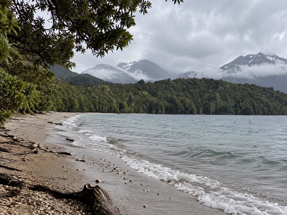
“The Kepler Track Control Gates are coming up, with a much shorter outing than the full four-day circuit. For a simple lakeshore walk, follow the beech forest to Dock Bay, about half an hour each way.”

Plays as you drive up to this trailhead in the Parkwolf Fiordland Tour Guide.

More stories near here in the app

  • Te Anau Bird Sanctuary
  • A Bird You Might Not Hear
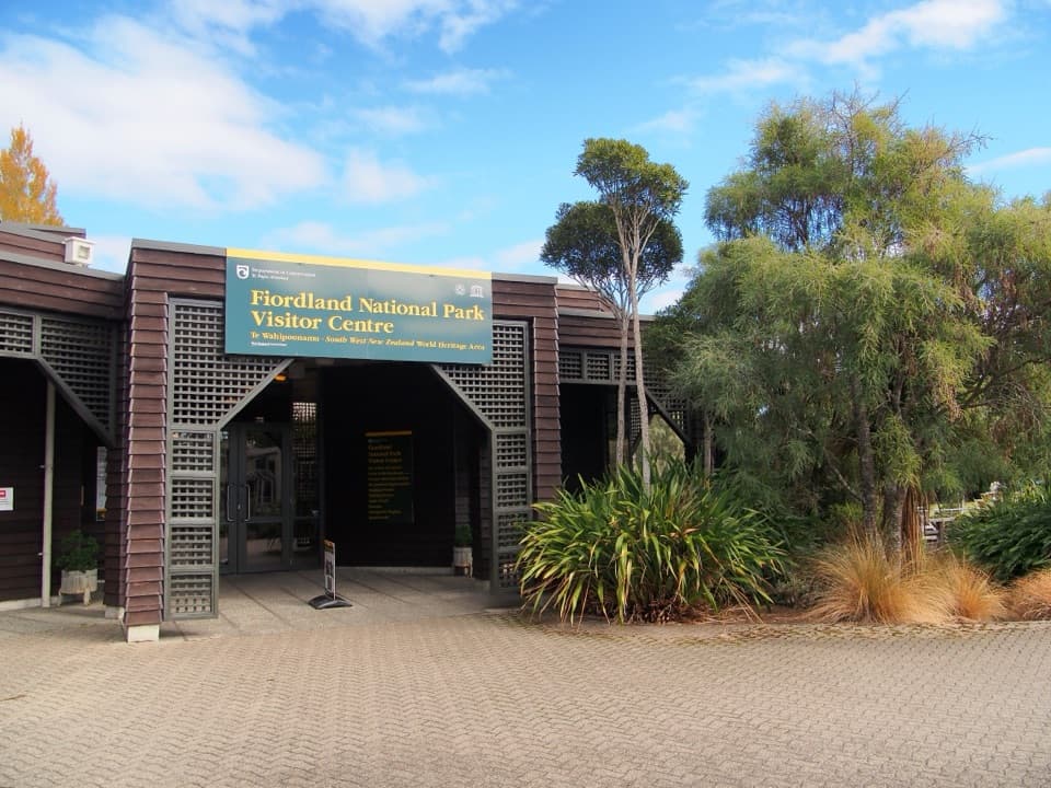
  • Fiordland Visitor Centre and Lakefront
  • Te Anau Glowworm Caves Departure
  • 112 audio storiesacross Fiordland’s roads, triggered by GPS as you drive
  • Wildlife heatmapsfor Kea, Fiordland Penguin, Blue Duck, and 13 more
  • Works offlinemaps, 77 trails, 102 places, and audio download before you lose signal
  • CarPlay readysimple controls built for the drive
★★★★★
“Fantastic app with many points of information… It’s great to just turn on while you’re driving and it gives you an audio tour of the national Park. We love it!!!!”
JMJamesApp Store review
Download Parkwolf on the App StoreGet Parkwolf on Google Play

4.7 from 8,600+ ratings

Trail guide

Hiking Kepler Track: Control Gates to Rainbow Reach

A one-way river walkThis is a 9.5 km (5.

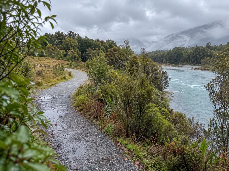
This is a 9.5 km (5.9 mi) one-way section of the Kepler Track, from the Control Gates carpark to Rainbow Reach. Allow about 2½ hours; the track is graded intermediate. It follows terraces beside the Waiau River through beech forest and finishes at the Rainbow Reach swingbridge. This is a through-walk, so plan your return before you leave the carpark.

Getting there and backThe start is at the southern end of Lake Te Anau, about 5 km from town, with the carpark…

The start is at the southern end of Lake Te Anau, about 5 km from town, with the carpark signposted from Golf Course Road. A summer shuttle can return walkers from Rainbow Reach toward Te Anau. The walking return follows the cycle trail on the east side of the Waiau River, a separate journey from this route. Dogs are not allowed.

Beech forest and a runholder's clearingThe track follows river terraces through red beech and mountain beech, with views of the forest…

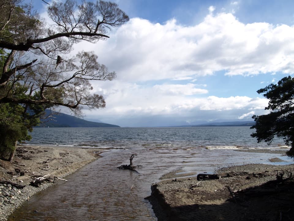
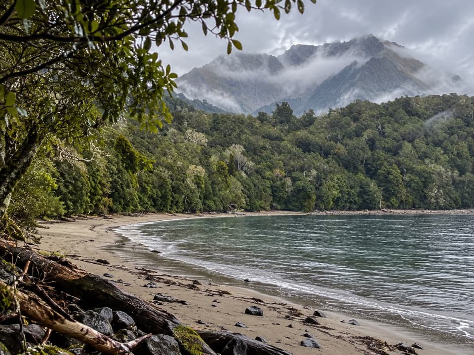
The track follows river terraces through red beech and mountain beech, with views of the forest and water along the way. An opening of mānuka shrubland marks the former run of Jack Beer, an early runholder who drove sheep onto Mount Luxmore to graze in summer. It is a small clearing with a story tied to this landscape, rather than a summit stop.

The Rainbow Reach crossingThe finish is the swingbridge over the Waiau River into Rainbow Reach.

The finish is the swingbridge over the Waiau River into Rainbow Reach. Pause on the bridge for the section's clearest river view: include the crossing and the water below it to show how the track ends.

Wildlife

Wildlife in Fiordland

All Fiordland wildlife maps

Sighting maps show where each species has been reported across Fiordland. Wildlife moves, so no sighting is guaranteed.

Keep exploring

Near Kepler Track: Control Gates to Rainbow Reach

See it all on the map

Trails that start nearby

Places near the trailhead

Parkwolf’s Fiordland ranking

Top-rated trails in Fiordland

All 77 trails
  1. 1Milford TrackChallenging · 53.5 km
  2. 2Routeburn TrackChallenging · 33 km
  3. 3Kepler TrackChallenging · 60 km
  4. 4Routeburn Track: Key Summit TrackModerate · 6.8 km
  5. 5Lake Marian TrackChallenging · 6.2 km
  6. 6Hump Ridge TrackChallenging · 61.5 km

Take Parkwolf to Fiordland.

The audio tour guide for the drive, plus offline maps, trails, and wildlife heatmaps for when the signal drops.

4.7 from 8,600+ ratings

Download Parkwolf on the App StoreGet Parkwolf on Google Play