Parking
Use the Kepler Track car park at the Control Gates on Lake Te Anau, about 5 km from Te Anau; this is the start for the summit return.
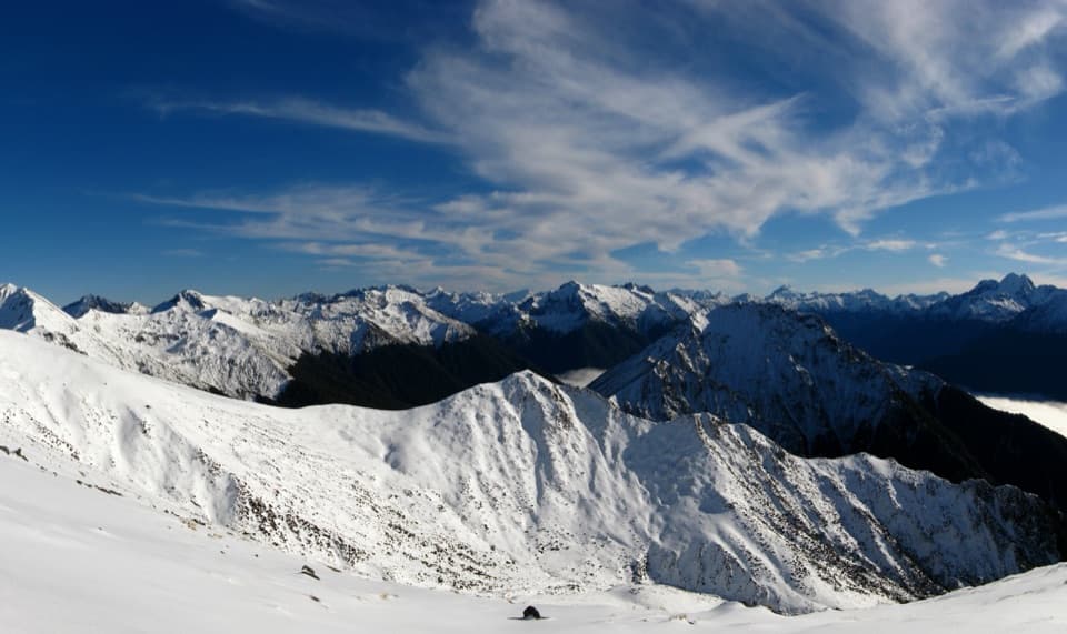
#8 of 77 trails in Fiordland
Fiordland National Park, SL
Lakeside forest, limestone bluffs, and a high alpine summit.
Photo: Bart Römgens, CC BY-SA 3.0, via Wikimedia Commons
Overview
Mount Luxmore Summit via Kepler Track is a strenuous out-and-back from the Control Gates car park to the 1,472 m summit. It follows Lake Te Anau, climbs through beech forest beneath limestone bluffs, then crosses the open alpine ridge to the top. Plan for about 22 miles (35.6 km) return and roughly 11–13 hours. Published totals vary from about 33 to 37 km; the shorter figure follows the mapped path, while the longer is a conservative day-hike estimate. This is the summit outing, not just the walk to Luxmore Hut and not the whole Great Walk.
 Parkwolf’s verdictIs this the full-day walk for you?
Map & elevation
Plan your hike

The highest, rockiest slopes around here are a summer buffet for grizzly bears.
Fiordland Tour Guide
Parkwolf is a GPS audio tour guide for Fiordland National Park. As you drive, it chimes in with what’s ahead: hidden gems, upcoming stops, history, geology, and wildlife, right through your car’s speakers.
See the Fiordland audio tourRecorded for this trailhead
Kepler Control Gates and Dock Bay“The Kepler Track Control Gates are coming up, with a much shorter outing than the full four-day circuit. For a simple lakeshore walk, follow the beech forest to Dock Bay, about half an hour each way.”
Plays as you drive up to this trailhead in the Parkwolf Fiordland Tour Guide.
More stories near here in the app
“Fantastic app with many points of information… It’s great to just turn on while you’re driving and it gives you an audio tour of the national Park. We love it!!!!”


Trail guide
The first stretch follows the lake through beech forest to Dock Bay and Brod Bay, two beaches on the route. Brod Bay is about 5.6 km from the car park. From there the climb steepens through mountain and silver beech, passing under tall limestone bluffs before reaching the bushline. The forest gives way to tussock and wide views over the Te Anau basin; Luxmore Hut sits another 45 minutes beyond the bushline at 1,085 m. The hut is 13.8 km one way from the car park, but reaching it is only the first half of this summit walk.
Beyond the hut, the Kepler Track traverses the open tops toward the ridge below Mount Luxmore. The path rises gradually at first, but the extra ridge approach makes the summit outing appreciably longer than the hut return. At the signed junction, a short spur climbs to the 1,472 m summit, the highest point on the Kepler Track. The panoramic view takes in Lake Te Anau and its basin, Lake Manapouri, and the surrounding mountains when the weather is clear. Turn back the same way; the long descent retraces the ridge and the steep forest climb.
The contrast is the point: a quiet lakeshore start, a sustained climb through native forest, then bare tussock and sky on the tops. The limestone bluffs mark the change from forest walking to the open climb. Luxmore Cave is a separate, signposted 20-minute return side trip near the hut; it is not part of the summit route. Kea are found around the alpine section and may damage unattended packs or boots, so keep your gear close at the hut and on the tops.
The climb gains about 1,250 m overall. Expect steep, rough ground that can be muddy or slippery, then an exposed alpine section where wind, rain, snow, and ice can arrive quickly. Views depend on clear weather. The Great Walk season runs from late October through April; outside it, short days and winter conditions make the alpine route suitable only for fit, experienced trampers with the right skills and equipment. Avalanche risk can extend into summer. DOC does not recommend this exposed route for children under 10, and dogs are not allowed.
Start at the Kepler Track car park at the Control Gates, about 5 km from Te Anau. Carry all food; nothing is sold on the track. Luxmore Hut has toilets and untreated tap water, which must be boiled before drinking. Bookings are required to stay overnight. If the full climb is too much, Brod Bay makes a shorter lakeshore out-and-back: about 11.2 km return, with beaches but no alpine ascent.
Wildlife
 1,233 sightingsKeaMost seen around 10 AMSighting map
 214 sightingsFiordland PenguinMost seen around 7 PMSighting map
 233 sightingsBlue DuckMost seen around 5 PMSighting map
 32 sightingsBottlenose DolphinMost seen around 5 PMSighting map
 252 sightingsNew Zealand Fur SealMost seen around 6 PMSighting map
 69 sightingsKākāMost seen around 6 PMSighting map
Sighting maps show where each species has been reported across Fiordland. Wildlife moves, so no sighting is guaranteed.
Keep exploring
 ChallengingKepler Track60 km · 21 hr · At the trailheadFour days from lakeside beech forest to an open alpine ridge.
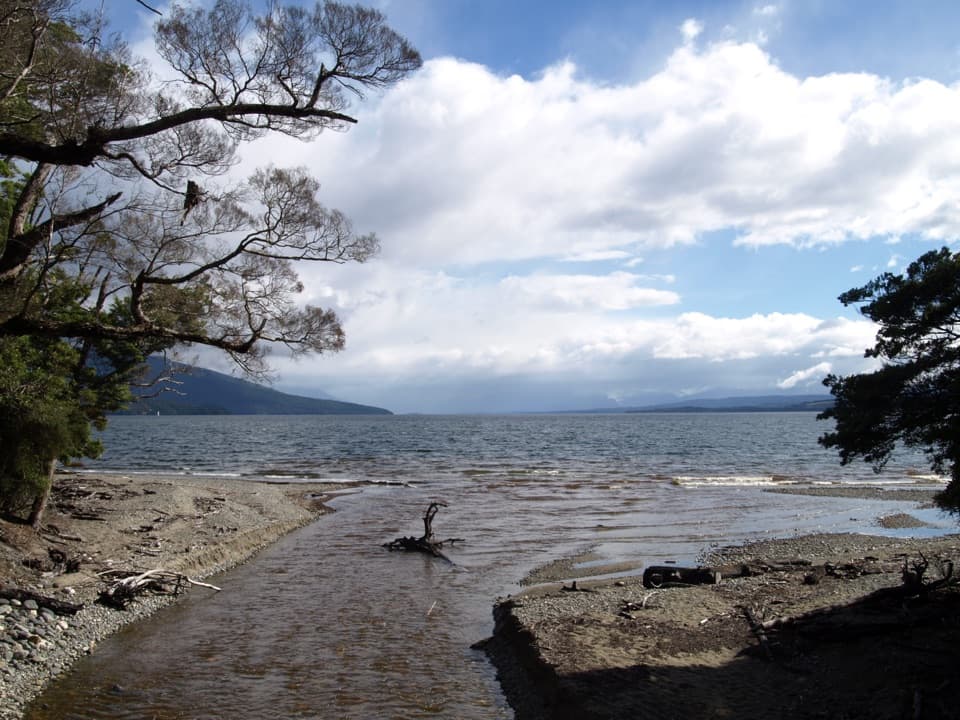 ChallengingKepler Track: Carpark to Luxmore Hut27.6 km · 9 hr · At the trailheadA lakeshore approach turns into a steep climb to alpine views.
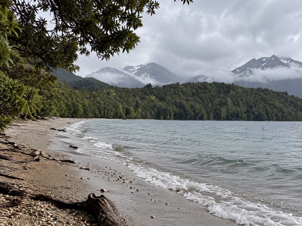 ModerateKepler Track: Carpark to Dock Bay and Brod Bay11.2 km · 3 hr · At the trailheadFern groves, two swimming bays, and a sandy lakefront campsite.
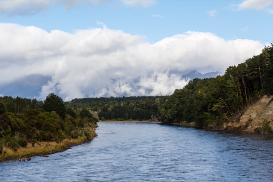 ModerateKepler Track: Control Gates to Rainbow Reach9.5 km · 2.5 hr · At the trailheadFollow the Waiau through beech forest to a swingbridge finish.
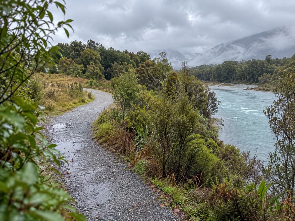 ModerateLake2Lake Trail29.8 km · 7.5 hr · 3.1 km awayFollow the Waiau from Te Anau’s lakefront to Manapouri.
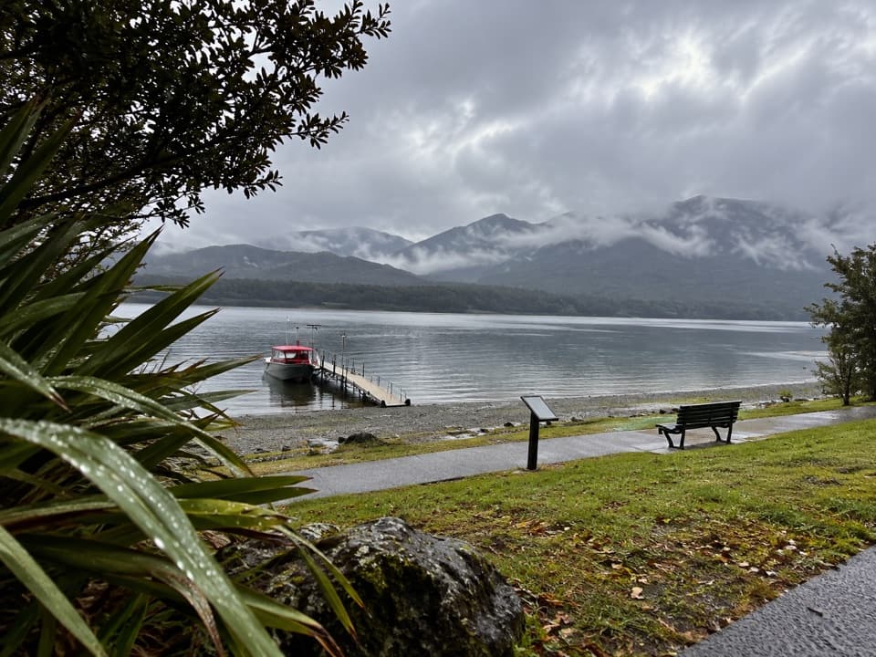 EasyVisitor Centre to Upukerora River Track9 km · 3 hr · 3.1 km awayFlat Te Anau lakeshore walk to the Upukerora River mouth.ModerateKepler Track: Rainbow Reach to Moturau Hut12 km · 3.3 hr · 5.7 km awayA bog boardwalk breaks up the forest walk to Lake Manapouri.ModerateKepler Track: Rainbow Reach to Shallow Bay Hut12 km · 3.3 hr · 5.8 km awayA side branch to a six-bunk hut on Lake Manapouri.
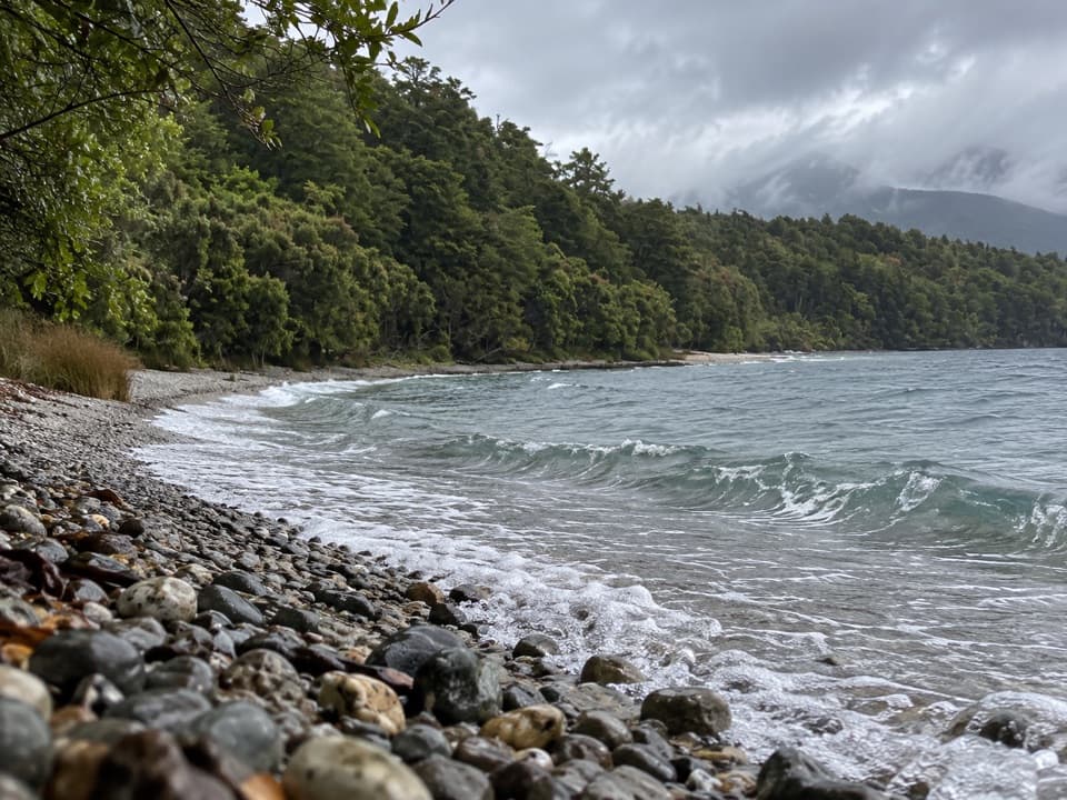 Beach · 1.4 km awayDock BayA pebbly lakeside swim stop on the Kepler Track.
 Sight · 2.2 km awayTe Anau Bird SanctuaryA rare takahē encounter in a short lakeside stop.
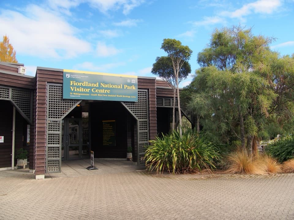 Visitor center · 3.1 km awayTe Rua-o-te-moko / Fiordland National Park Visitor CentreGet track options sorted before you head into the backcountry.
 Sight · 3.3 km awayTe Anau Glowworm CavesA lake cruise ends beneath a silent glowworm canopy.
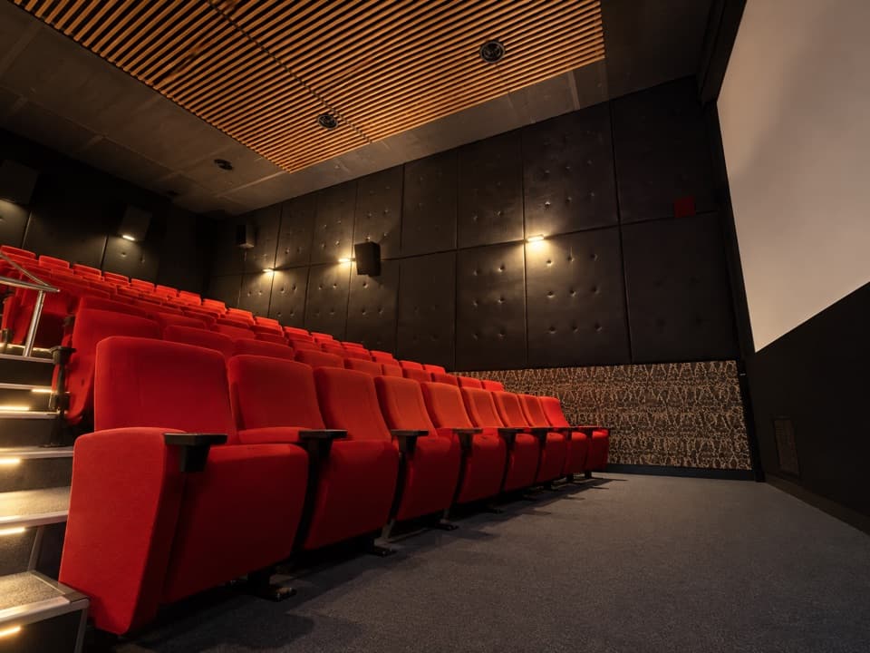 Sight · 3.7 km awayFiordland CinemaA 32-minute screen flight into country few roads reach.
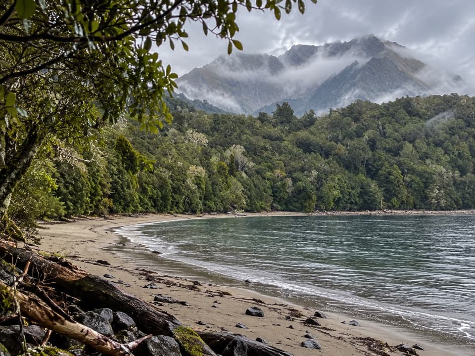 Campground · 4.3 km awayBrod Bay CampsiteA lakeside Kepler camp with a swimming beach.
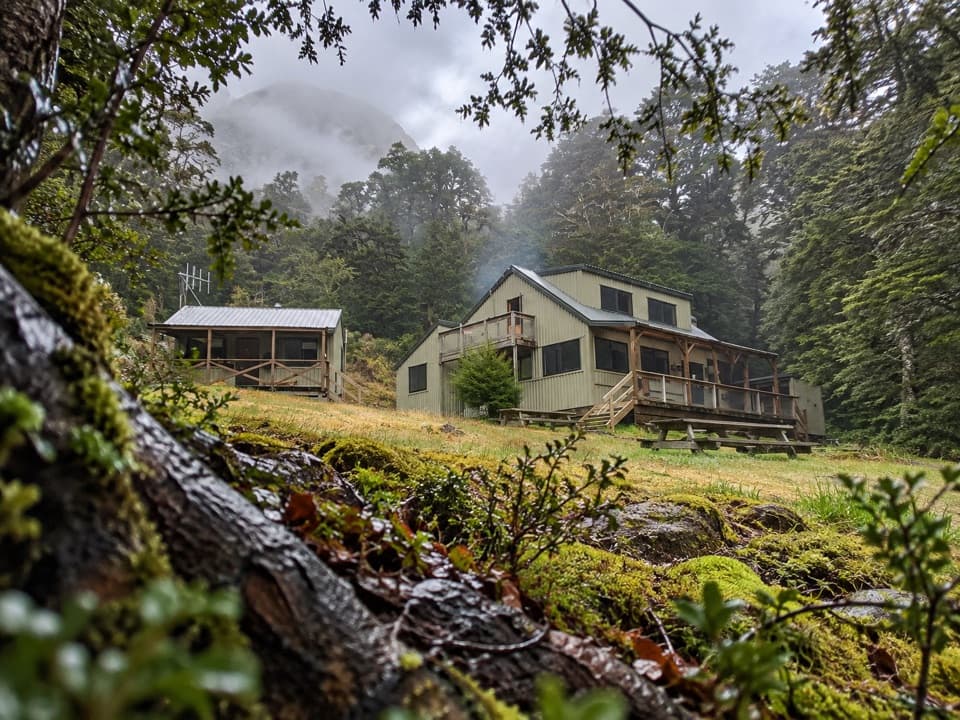 Lodging · 7.5 km awayMoturau HutA lakeside Great Walk hut with its own beach and swim spot.
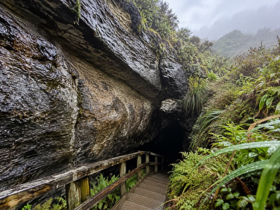 Sight · 8.2 km awayLuxmore CaveA torch and a short detour reveal stalactites and stalagmites.
Parkwolf’s Fiordland ranking
The audio tour guide for the drive, plus offline maps, trails, and wildlife heatmaps for when the signal drops.




