Parking
Begin at the Fiordland National Park Visitor Centre, 1 Lakefront Drive, Te Anau. Parking and toilets are available there, at the Control Gates and at Rainbow Reach. The trail ends in Manapouri, so arrange your return ride.
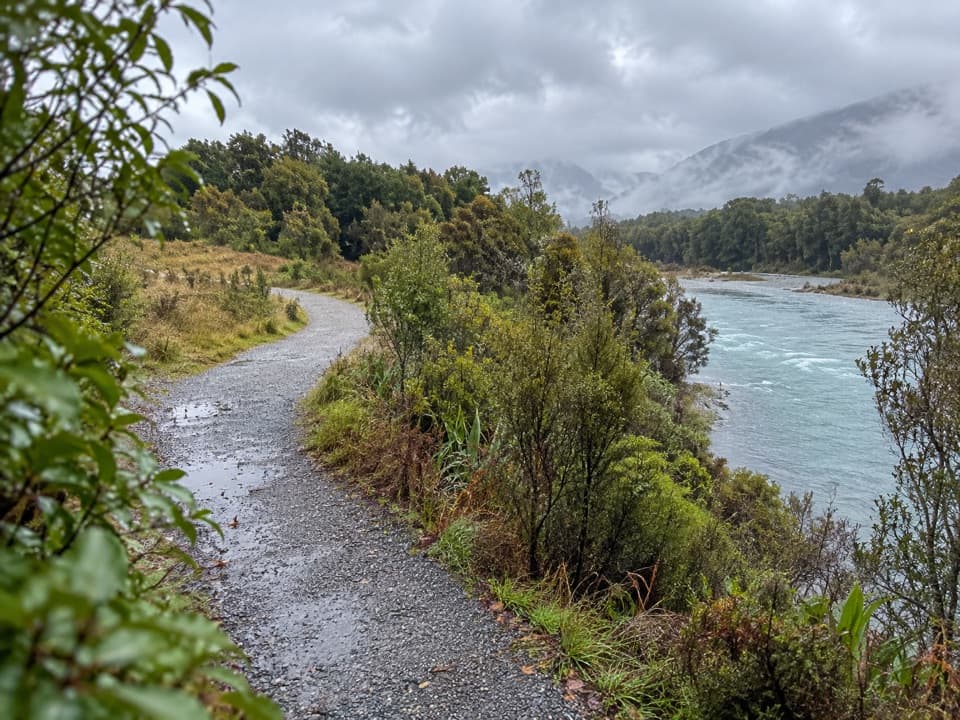
Fiordland National Park, SL
Follow the Waiau from Te Anau’s lakefront to Manapouri.
Overview
Map & elevation
Plan your hike

The highest, rockiest slopes around here are a summer buffet for grizzly bears.
Fiordland Tour Guide
Parkwolf is a GPS audio tour guide for Fiordland National Park. As you drive, it chimes in with what’s ahead: hidden gems, upcoming stops, history, geology, and wildlife, right through your car’s speakers.
See the Fiordland audio tourRecorded for this trailhead
Fiordland Visitor Centre and Lakefront“You're approaching the Fiordland National Park Visitor Centre on Te Anau's lakefront. If you're still choosing a walk, stop here and ask which track fits your time and experience.”
Plays as you drive up to this trailhead in the Parkwolf Fiordland Tour Guide.
More stories near here in the app
“Fantastic app with many points of information… It’s great to just turn on while you’re driving and it gives you an audio tour of the national Park. We love it!!!!”


Trail guide
Lake2Lake is a shared-use, mostly gravel point-to-point route from the Fiordland National Park Visitor Centre in Te Anau to Manapouri. The complete mapped corridor is about 18.5 miles (29.7 km) one way. The owner lists 28.5 km; the measured route including the mapped roadside connection is longer. It follows the Lake Te Anau shore, then the Waiau River, before finishing beside Lake Manapouri. The grade is easy by New Zealand cycle-trail standards, with small undulations rather than a sustained climb, but the distance makes this a full day on foot. Allow about seven to eight hours walking, plus breaks and your return ride. It suits someone after a steady long-distance walk or ride, not a quick outing.
The first 4 km leave Te Anau along Lake Te Anau, with mountain views and several rest areas, then reach the Control Gates where the Waiau River starts. From there, the route runs 6.4 km to Queens Reach and another 6.4 km to Rainbow Reach, alongside the river through native bush and open stretches. A couple of bush sections narrow, so watch for people coming the other way and leave room when passing. Rainbow Reach has a swing bridge and access to the Kepler Track.
From Rainbow Reach, it is another 2 km beside the Waiau to Balloon Loop Road. The marked route then uses a road-side section alongside SH95 toward Supply Bay, rather than staying off-road the whole way; this is the least sheltered part and the main tradeoff for walkers. From Supply Bay Road, the final 4.7 km lead toward Manapouri, with views across Lake Manapouri to its islands and surrounding mountains. Check the current route map for this link before setting out.
Several access points let you choose a shorter piece instead of committing to the full crossing. The Control Gates to Rainbow Reach section is about 12.8 km, and both ends have vehicle access. Walkers can return from Rainbow Reach toward the Control Gates via the Kepler Track and its swing bridge; bicycles are not allowed on the Kepler Track. The Te Anau Bird Sanctuary is a separate stop near the start, where visitors can see takahē; they are not an on-trail wildlife sighting.
Start at the Fiordland National Park Visitor Centre, 1 Lakefront Drive, Te Anau. Parking and toilets are available there, at the Control Gates and at Rainbow Reach. The route is point-to-point, so arrange transport back from Manapouri or select a shorter section. No water refill points are listed for the walk, so carry enough for the day. The route enters Fiordland National Park at the Control Gates; ordinary dogs are not allowed on the park section without a Department of Conservation special permit.
Wildlife
 1,233 sightingsKeaMost seen around 10 AMSighting map
 214 sightingsFiordland PenguinMost seen around 7 PMSighting map
 233 sightingsBlue DuckMost seen around 5 PMSighting map
 32 sightingsBottlenose DolphinMost seen around 5 PMSighting map
 252 sightingsNew Zealand Fur SealMost seen around 6 PMSighting map
 69 sightingsKākāMost seen around 6 PMSighting map
Sighting maps show where each species has been reported across Fiordland. Wildlife moves, so no sighting is guaranteed.
Keep exploring
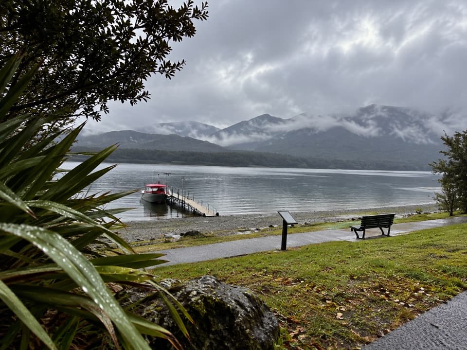 EasyVisitor Centre to Upukerora River Track9 km · 3 hr · At the trailheadFlat Te Anau lakeshore walk to the Upukerora River mouth.
 ChallengingKepler Track60 km · 21 hr · 3.1 km awayFour days from lakeside beech forest to an open alpine ridge.
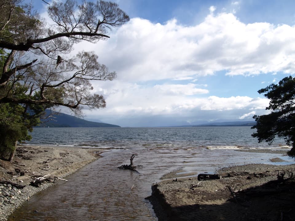 ChallengingKepler Track: Carpark to Luxmore Hut27.6 km · 9 hr · 3.1 km awayA lakeshore approach turns into a steep climb to alpine views.
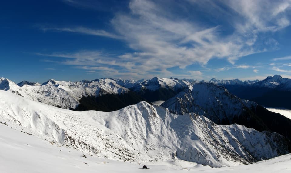 ChallengingMount Luxmore Summit via Kepler Track35.6 km · 12 hr · 3.1 km awayLakeside forest, limestone bluffs, and a high alpine summit.
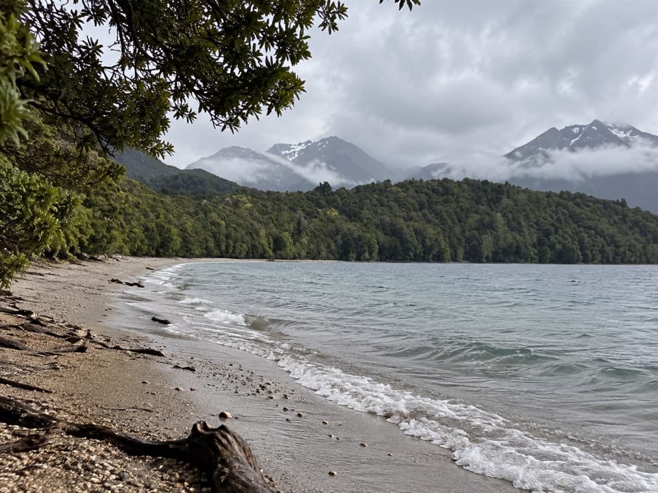 ModerateKepler Track: Carpark to Dock Bay and Brod Bay11.2 km · 3 hr · 3.1 km awayFern groves, two swimming bays, and a sandy lakefront campsite.
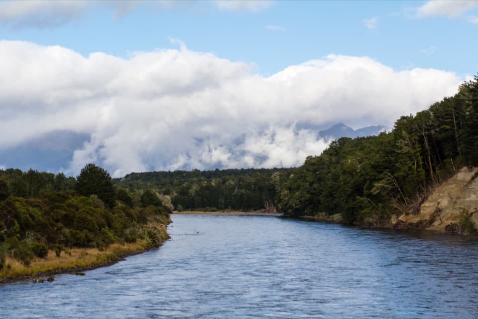 ModerateKepler Track: Control Gates to Rainbow Reach9.5 km · 2.5 hr · 3.1 km awayFollow the Waiau through beech forest to a swingbridge finish.
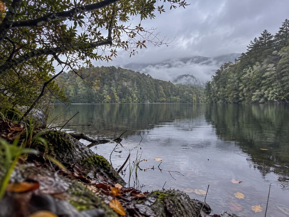 EasyHidden Lakes Track2.6 km · 1.5 hr · 7.6 km awayA boat-only forest walk to scattered kettle lakes in South Fiord.ModerateKepler Track: Rainbow Reach to Moturau Hut12 km · 3.3 hr · 8.6 km awayA bog boardwalk breaks up the forest walk to Lake Manapouri.
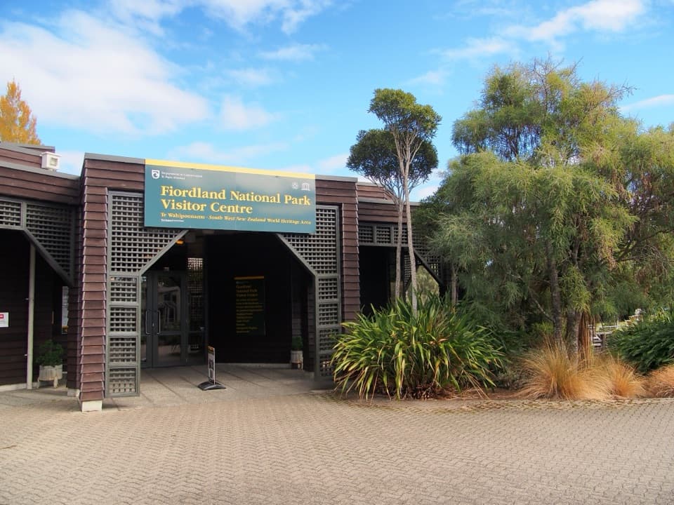 Visitor center · At the trailheadTe Rua-o-te-moko / Fiordland National Park Visitor CentreGet track options sorted before you head into the backcountry.
 Sight · 0.9 km awayTe Anau Glowworm CavesA lake cruise ends beneath a silent glowworm canopy.
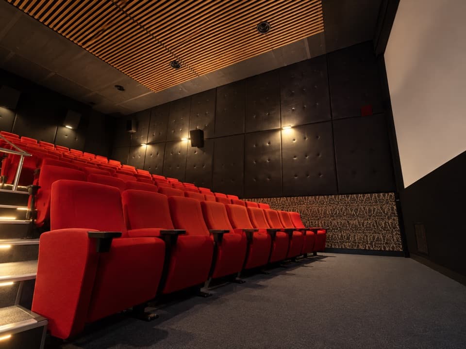 Sight · 1 km awayFiordland CinemaA 32-minute screen flight into country few roads reach.
 Sight · 1.1 km awayTe Anau Bird SanctuaryA rare takahē encounter in a short lakeside stop.
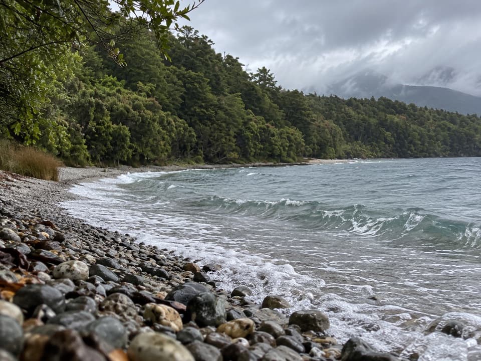 Beach · 2.9 km awayDock BayA pebbly lakeside swim stop on the Kepler Track.
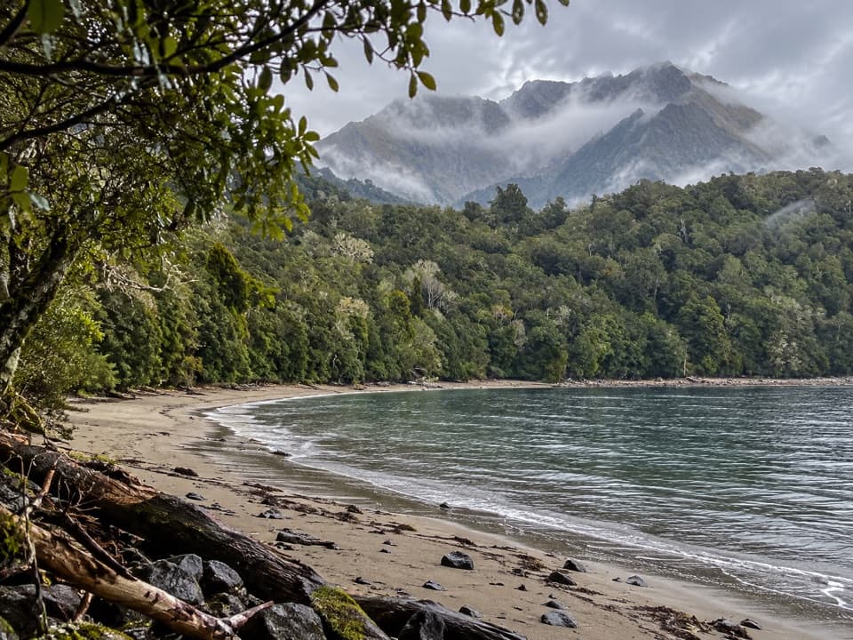 Campground · 4 km awayBrod Bay CampsiteA lakeside Kepler camp with a swimming beach.
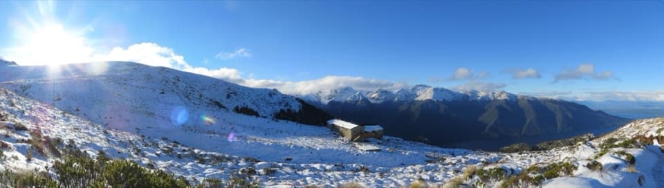 Lodging · 8.9 km awayLuxmore HutA 54-bunk hut above the bushline, reached by a strenuous alpine climb.
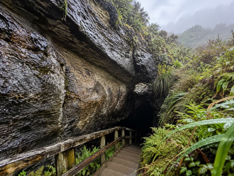 Sight · 8.9 km awayLuxmore CaveA torch and a short detour reveal stalactites and stalagmites.
Parkwolf’s Fiordland ranking

The audio tour guide for the drive, plus offline maps, trails, and wildlife heatmaps for when the signal drops.




