Parking
Road access and parking are at the Kepler Track car park; Luxmore Hut is about 5–6 hours away on foot. The cave spur starts at the hut, not at the car park.
Fiordland National Park, SL
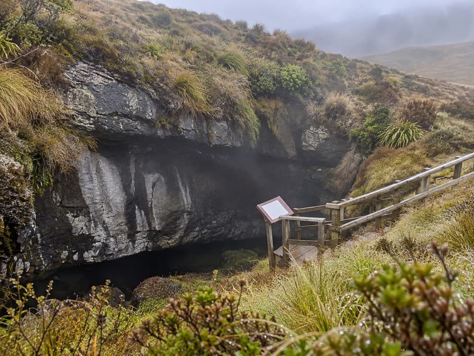
A short, signposted spur to a limestone cave entrance.
Overview
Map & elevation
Plan your hike

The highest, rockiest slopes around here are a summer buffet for grizzly bears.
Fiordland Tour Guide
Parkwolf is a GPS audio tour guide for Fiordland National Park. As you drive, it chimes in with what’s ahead: hidden gems, upcoming stops, history, geology, and wildlife, right through your car’s speakers.
See the Fiordland audio tourMore stories near here in the app
“Fantastic app with many points of information… It’s great to just turn on while you’re driving and it gives you an audio tour of the national Park. We love it!!!!”


Trail guide
Luxmore Cave Track is a clearly signposted out-and-back from Luxmore Hut to the limestone entrance of Luxmore Cave. The round trip is about 0.9 mi (1.4 km) from the hut, including the short connection to the cave spur; DOC allows 20 minutes return. It is a quick detour for people already on the Kepler Track. The mapped walk ends at the cave entrance and does not include underground passages.
Luxmore Hut is roughly 5–6 hours on foot from the Kepler Track car park, so this is not a roadside outing. Treat the cave as a brief side trip during the longer Kepler walk or an overnight stay at the hut. Luxmore Hut must be booked for overnight stays year-round, and food is not supplied. Dogs are not allowed in Fiordland National Park.
A timber-railed stairway leads down to the dark opening in the rock. Include the railing in a photo to show the cave entrance's scale. The short spur can be very slippery and icy in winter. The approach to the hut climbs above the bushline, and outside the Great Walks season the alpine route can require fit, experienced and well-equipped walkers.
Wildlife
 1,233 sightingsKeaMost seen around 10 AMSighting map
 214 sightingsFiordland PenguinMost seen around 7 PMSighting map
 233 sightingsBlue DuckMost seen around 5 PMSighting map
 32 sightingsBottlenose DolphinMost seen around 5 PMSighting map
 252 sightingsNew Zealand Fur SealMost seen around 6 PMSighting map
 69 sightingsKākāMost seen around 6 PMSighting map
Sighting maps show where each species has been reported across Fiordland. Wildlife moves, so no sighting is guaranteed.
Keep exploring
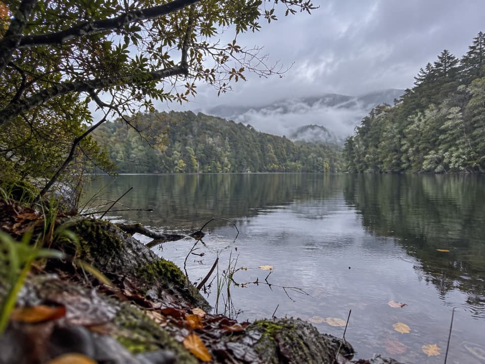 EasyHidden Lakes Track2.6 km · 1.5 hr · 5.9 km awayA boat-only forest walk to scattered kettle lakes in South Fiord.
 ChallengingKepler Track60 km · 21 hr · 8.4 km awayFour days from lakeside beech forest to an open alpine ridge.
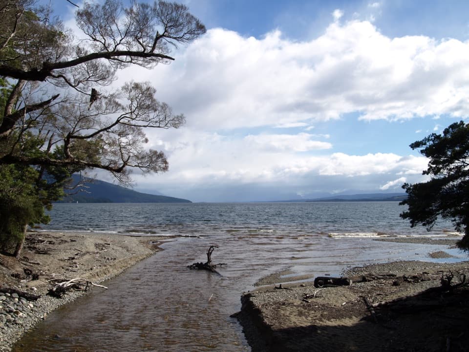 ChallengingKepler Track: Carpark to Luxmore Hut27.6 km · 9 hr · 8.4 km awayA lakeshore approach turns into a steep climb to alpine views.
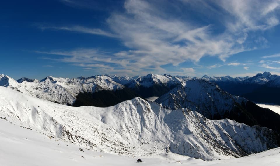 ChallengingMount Luxmore Summit via Kepler Track35.6 km · 12 hr · 8.4 km awayLakeside forest, limestone bluffs, and a high alpine summit.
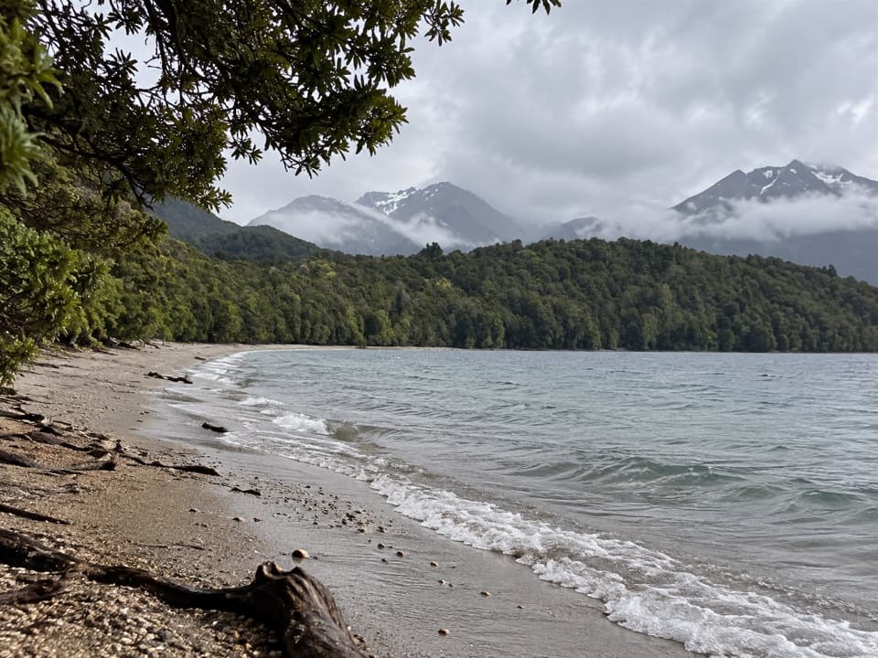 ModerateKepler Track: Carpark to Dock Bay and Brod Bay11.2 km · 3 hr · 8.4 km awayFern groves, two swimming bays, and a sandy lakefront campsite.
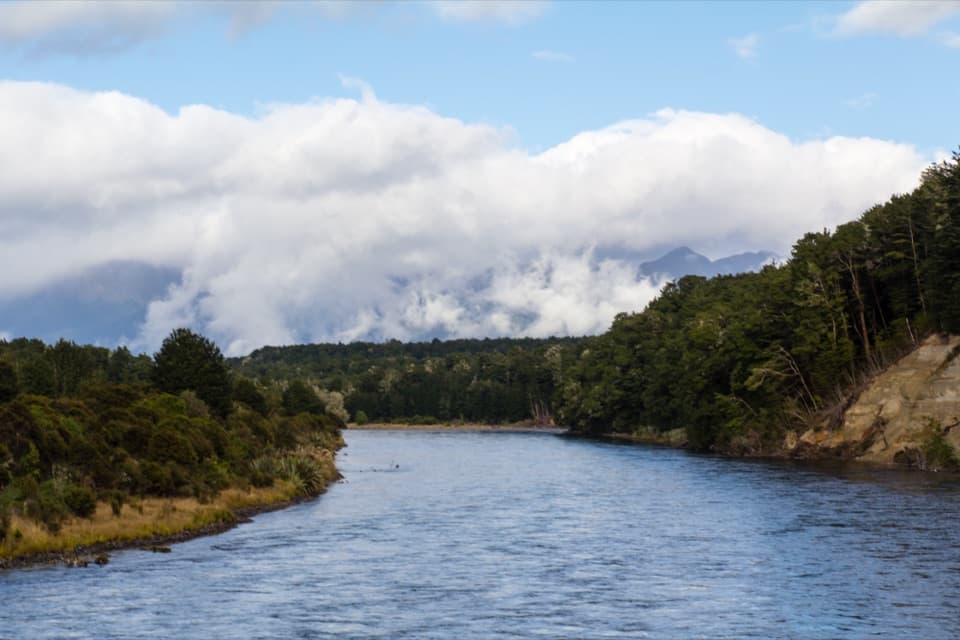 ModerateKepler Track: Control Gates to Rainbow Reach9.5 km · 2.5 hr · 8.4 km awayFollow the Waiau through beech forest to a swingbridge finish.
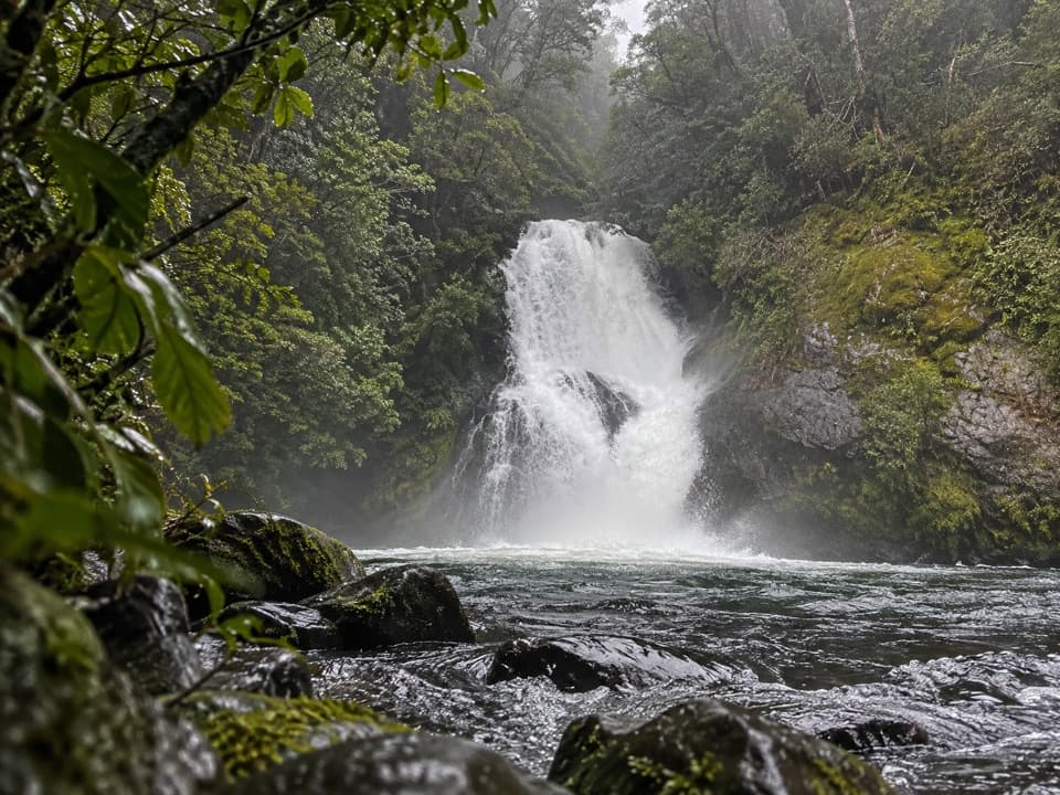 EasyIris Burn Waterfall Track3 km · 40 min · 8.7 km awayA short hut-side waterfall walk with a swimming hole for the brave.
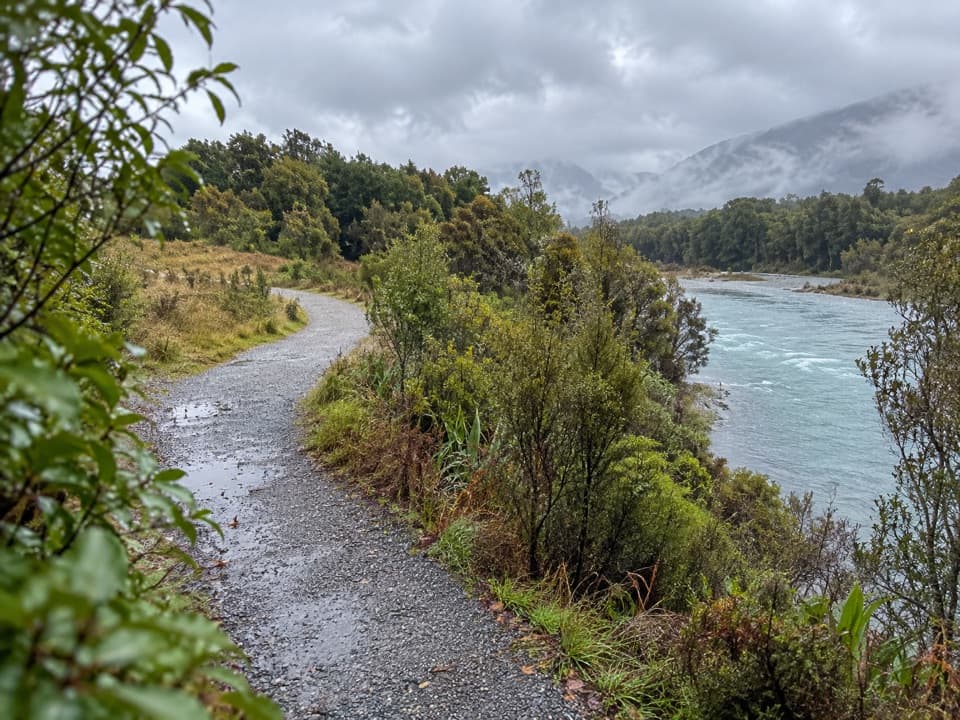 ModerateLake2Lake Trail29.8 km · 7.5 hr · 8.9 km awayFollow the Waiau from Te Anau’s lakefront to Manapouri.
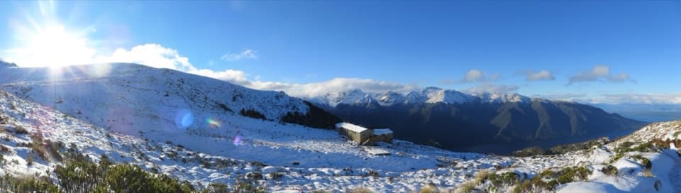 Lodging · At the trailheadLuxmore HutA 54-bunk hut above the bushline, reached by a strenuous alpine climb.
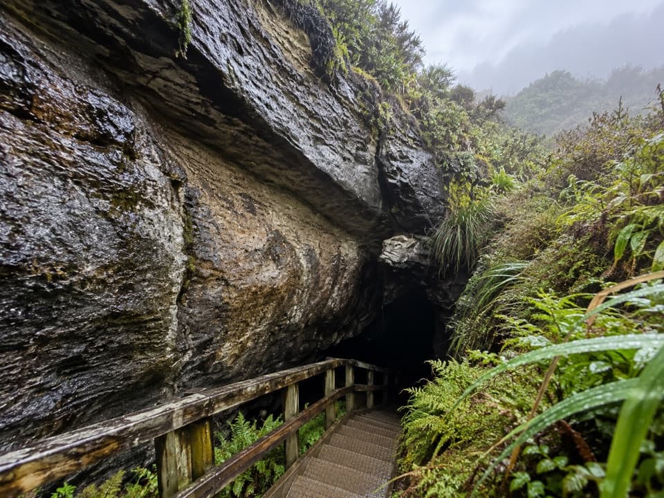 Sight · 0.6 km awayLuxmore CaveA torch and a short detour reveal stalactites and stalagmites.
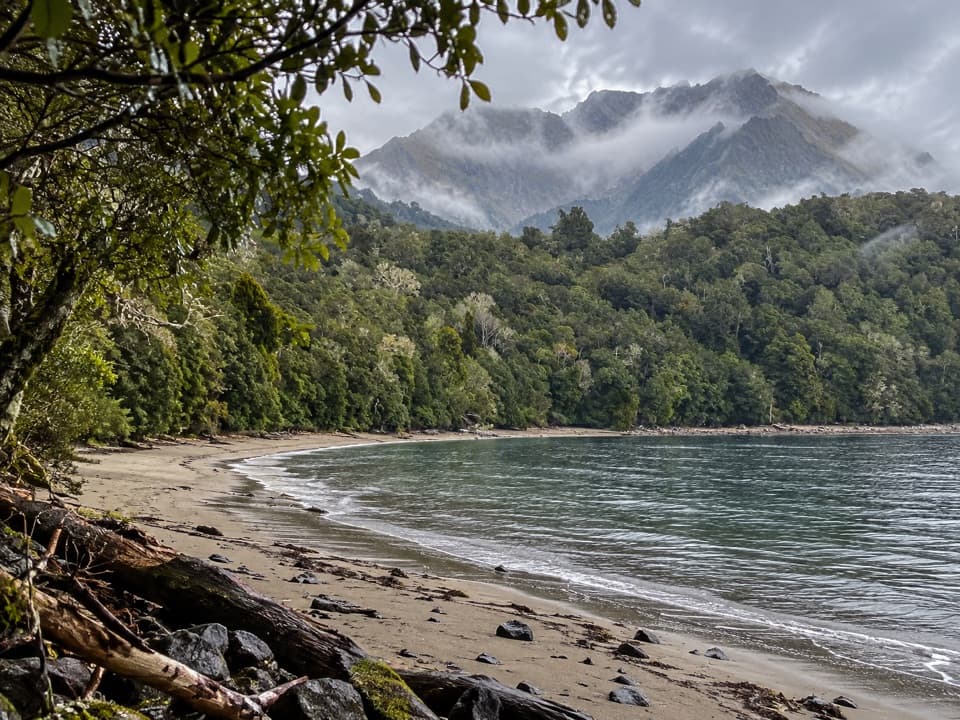 Campground · 4.8 km awayBrod Bay CampsiteA lakeside Kepler camp with a swimming beach.
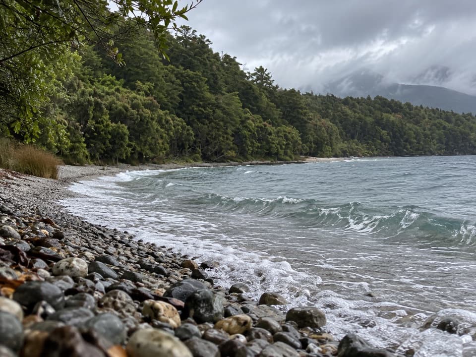 Beach · 7.1 km awayDock BayA pebbly lakeside swim stop on the Kepler Track.
 Sight · 8.1 km awayTe Anau Glowworm CavesA lake cruise ends beneath a silent glowworm canopy.
 Sight · 8.2 km awayFiordland CinemaA 32-minute screen flight into country few roads reach.
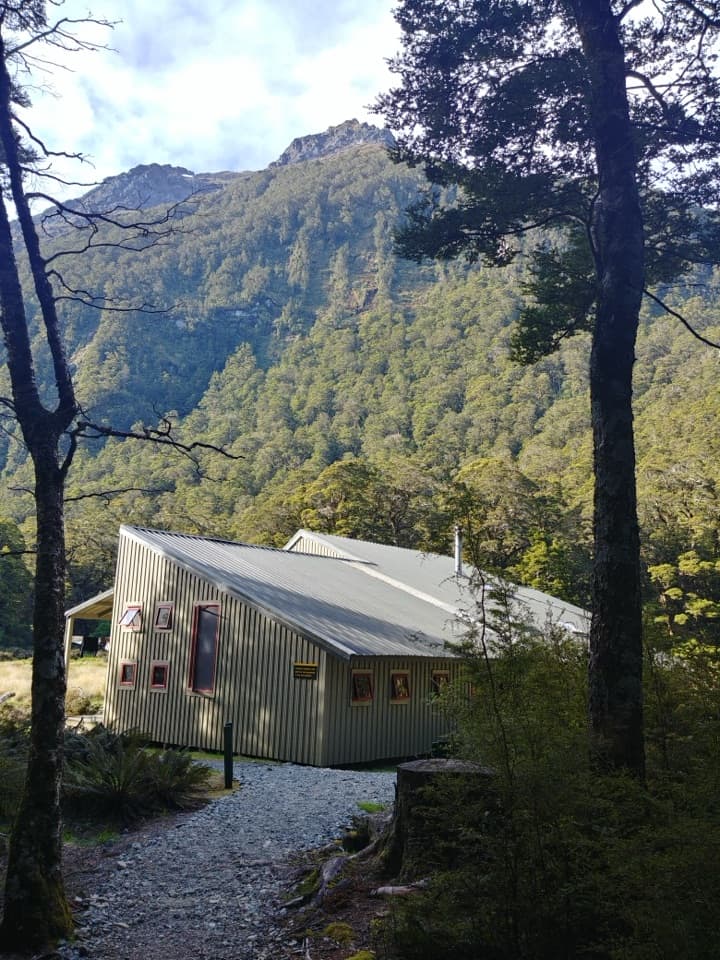 Lodging · 8.7 km awayIris Burn HutA sheltered valley stop after the Kepler’s exposed ridge.
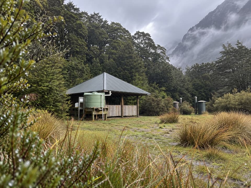 Campground · 8.8 km awayIris Burn CampsiteA remote Kepler camp where kea may damage your tent.
Parkwolf’s Fiordland ranking

The audio tour guide for the drive, plus offline maps, trails, and wildlife heatmaps for when the signal drops.




