Parking
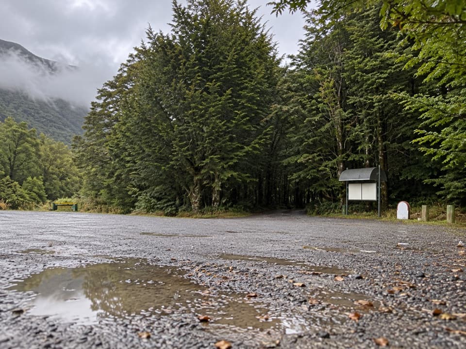
Start at the gate near Borland Lodge, reached by Borland Road from Lake Monowai. The road is unsealed, narrow and steep in places, with seasonal winter closures. No separate public car-park arrangement was confirmed.
Fiordland National Park, SL
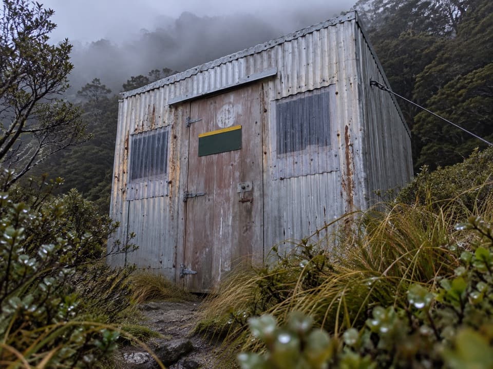
A serious valley tramp to a tiny hut beneath Mount Titiroa.
Overview
Map & elevation
Plan your hike

The highest, rockiest slopes around here are a summer buffet for grizzly bears.
Fiordland Tour Guide
Parkwolf is a GPS audio tour guide for Fiordland National Park. As you drive, it chimes in with what’s ahead: hidden gems, upcoming stops, history, geology, and wildlife, right through your car’s speakers.
See the Fiordland audio tourRecorded for this trailhead
Borland Lodge and Nature Walk“You're coming up on the walking access near Borland Lodge, a self-catering group base. The lodge began as Pig Creek Hostel for power-project workers before becoming accommodation for school, family and community groups.”
Plays as you drive up to this trailhead in the Parkwolf Fiordland Tour Guide.
More stories near here in the app
“Fantastic app with many points of information… It’s great to just turn on while you’re driving and it gives you an audio tour of the national Park. We love it!!!!”


Trail guide
North Borland Track is an advanced out-and-back from the gate near Borland Lodge to North Borland Hut in the head of the Borland Valley. The traced route is about 13.6 km each way, or 27.2 km (16.9 miles) return. A shorter 12 km one-way figure is also published, so plan against the longer mapped line. Allow 6–8 hours to the hut and 12–16 hours on foot for the return; an overnight stay is the sensible plan. Expect roughly 500 m of climbing, a river crossing and a steep gorge-side climb. Dogs are not allowed.
From the gate near Borland Lodge, follow Borland Nature Walk to the North Borland Track. The route follows the river for about 1 hour 45 minutes to the South Borland junction; stay on the North Borland branch. Another 45 minutes along the Borland Burn terrace leads to the large limestone Rock Bivvy, a useful shelter with a pit toilet.
About 15 minutes beyond Rock Bivvy, the track crosses the Middle Branch of Borland Burn. Water levels can rise quickly in heavy rain, so wet weather changes the risk on this route. From there the track climbs steeply above a gorge to a clearing. Look northeast for Mount Titiroa when it is visible, then follow the track back into bush and out into tussock and scrub. The hut sits about 30 minutes into that clearing.
The basic hut has two bunks, a non-flush toilet and stream water. Bookings are not required; it is first come, first served. Bring food and the gear you need for a remote overnight, and do not plan on a same-day return unless you are prepared for a very long tramp.
The start is at the gate near Borland Lodge, reached by Borland Road from Lake Monowai. The road is unsealed, narrow and steep in places, and has seasonal winter closures, usually from around early June to late October depending on conditions. Check road status before driving. Borland Road began construction in 1963 to service the transmission line from West Arm power station on Lake Manapouri to the Tiwai Point smelter; the lines are still part of the approach landscape.
Wildlife
 1,233 sightingsKeaMost seen around 10 AMSighting map
 214 sightingsFiordland PenguinMost seen around 7 PMSighting map
 233 sightingsBlue DuckMost seen around 5 PMSighting map
 32 sightingsBottlenose DolphinMost seen around 5 PMSighting map
 252 sightingsNew Zealand Fur SealMost seen around 6 PMSighting map
 69 sightingsKākāMost seen around 6 PMSighting map
Sighting maps show where each species has been reported across Fiordland. Wildlife moves, so no sighting is guaranteed.
Keep exploring
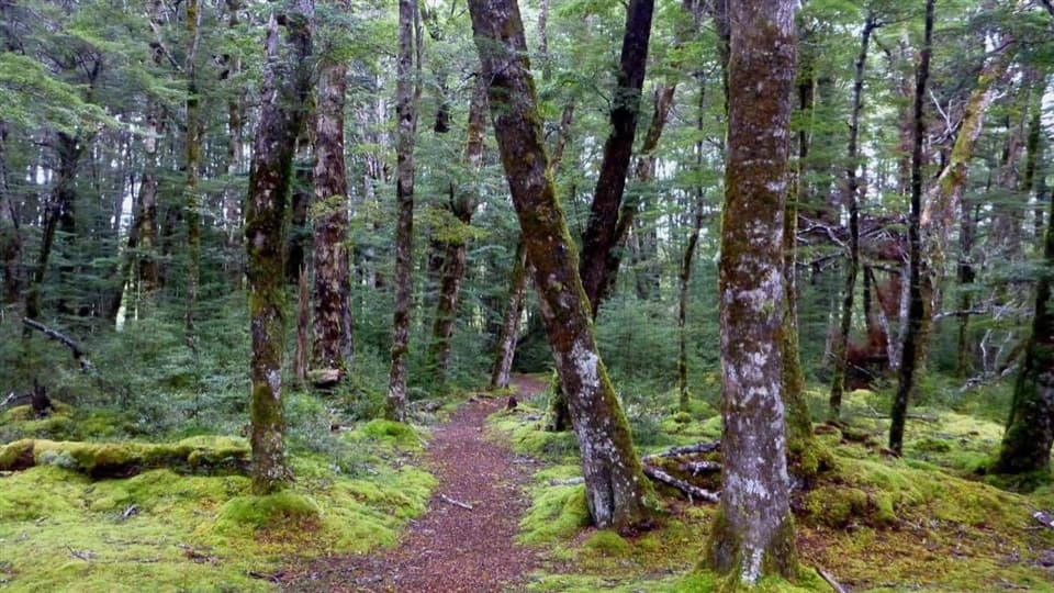 EasyBorland Nature Walk2.2 km · 40 min · At the trailheadMossy forest, summer mistletoe, and a river crossing without a bridge.
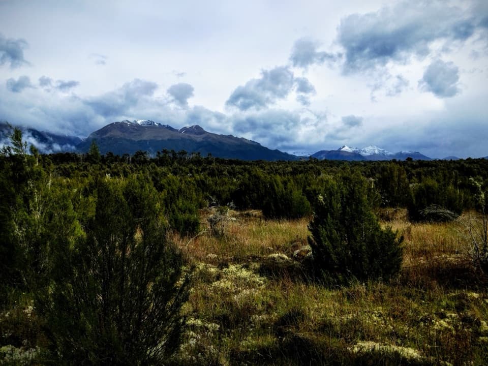 EasyBurnt Ridge Track5.4 km · 1.5 hr · 0.2 km awayAn easy forest-and-scrub crossing between Borland Lodge and Lake Monowai.
 ChallengingRodger Inlet Track21.2 km · 12 hr · 4.1 km awayA demanding out-and-back to a small hut on Lake Monowai.
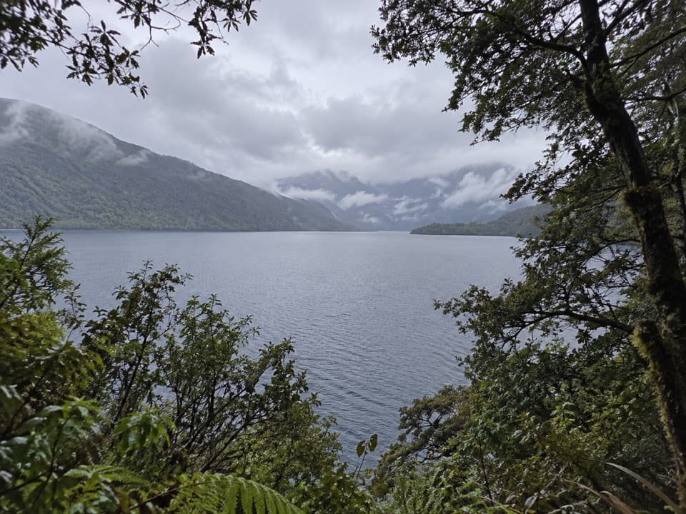 EasyLake Monowai Peninsula Lookout Track2.4 km · 42 min · 4.1 km awayBeech forest opens to a quiet lake view at the peninsula lookout
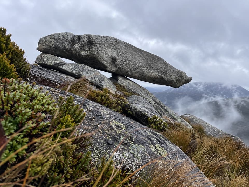 ChallengingEldrig Peak Route6.2 km · 9 hr · 4.2 km awayA steep climb through beech to snow-poled tops and rock formations.
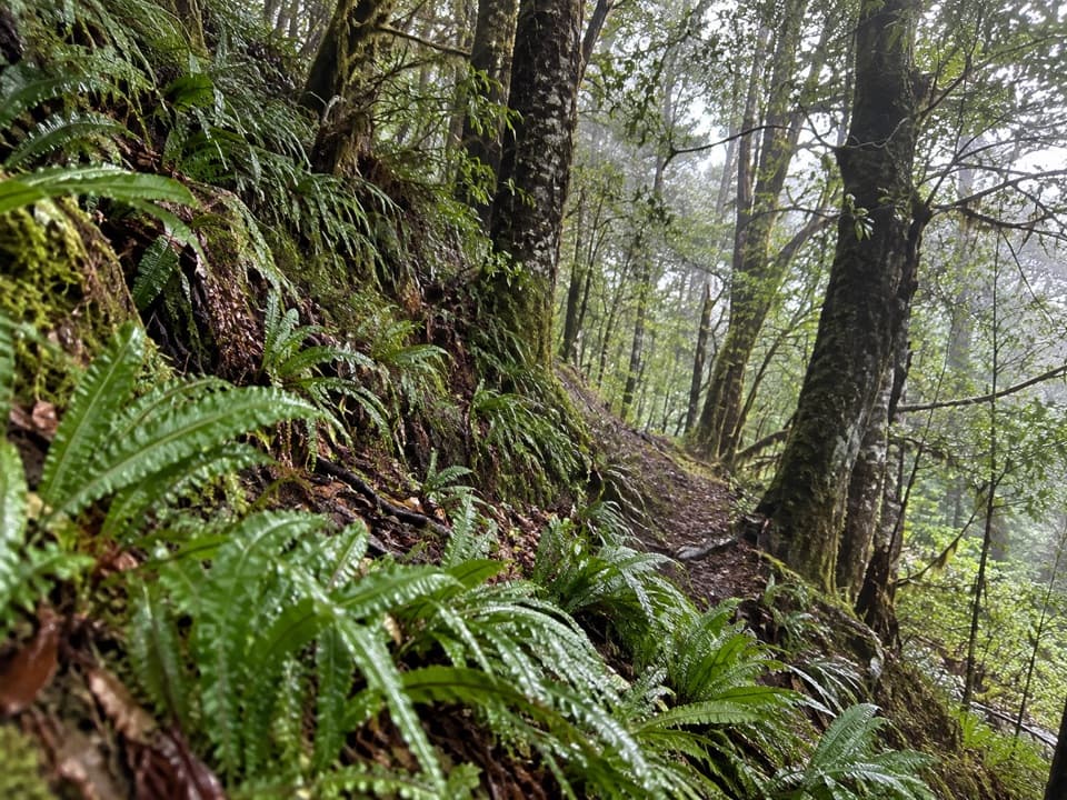 ChallengingSouth Borland Track6 km · 3 hr · 4.7 km awayA 6 km one-way descent through limestone and beech forest.
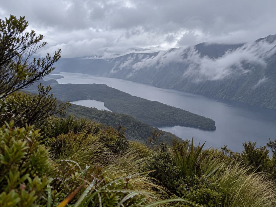 ChallengingRodger Inlet Bushline Route7 km · 4.5 hr · 11.6 km awayA hard climb from the hut to wide Lake Monowai views.
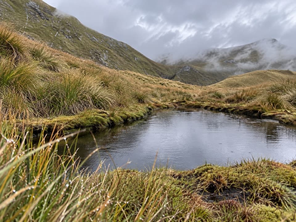 ChallengingMount Burns Tarns Track1.4 km · 54 min · 12.6 km awayA short, steep climb to alpine tarns and wide Fiordland views.
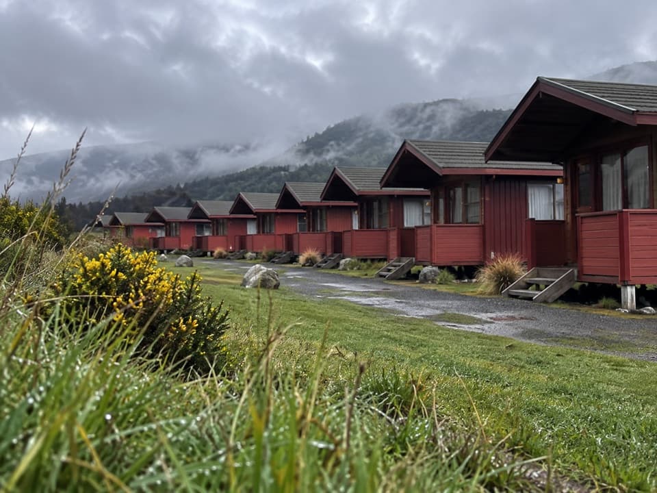 Lodging · 0.2 km awayBorland LodgeA self-catered group base for exploring the Borland backcountry.
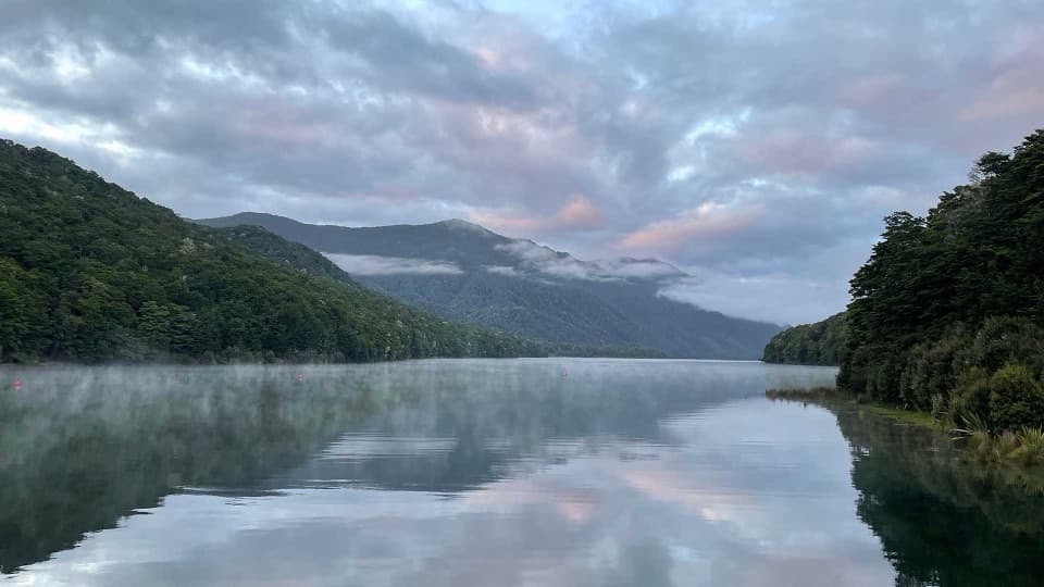 Campground · 4.1 km awayMonowai CampsiteA five-site lake camp for fishing, boating and bush walks.
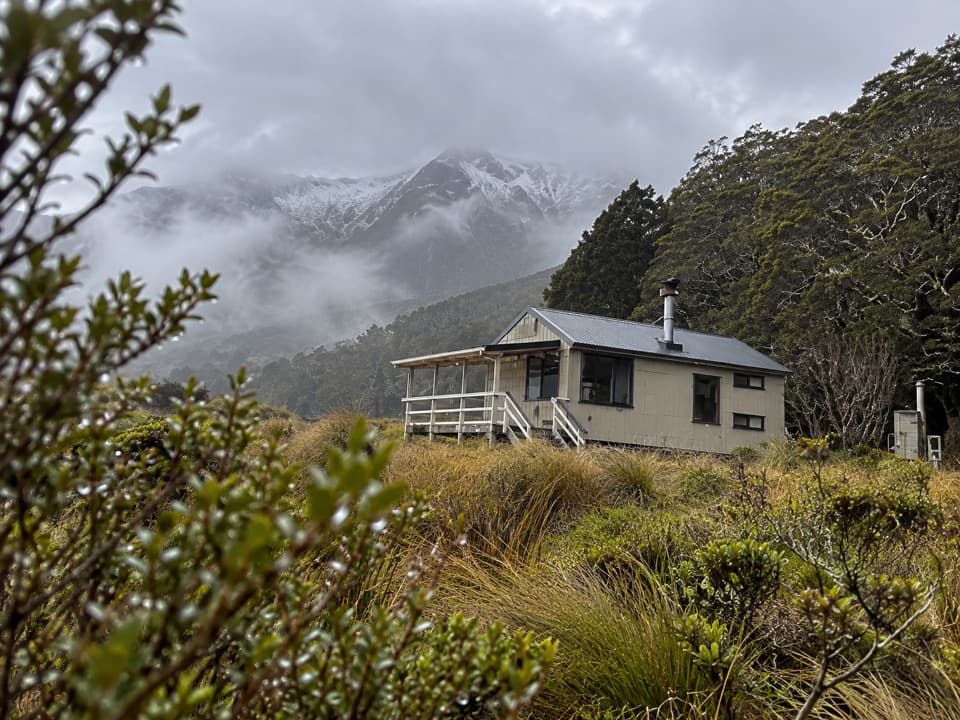 Lodging · 10.6 km awayGreen Lake HutA lakeside overnight hut reached only by a long, advanced tramp.
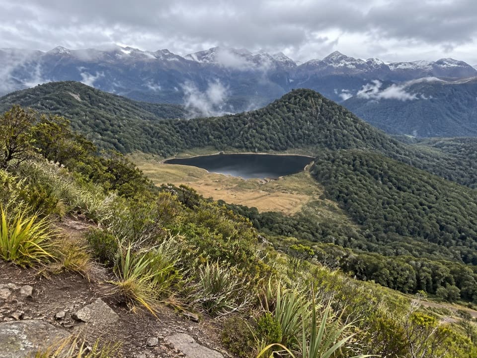 Sight · 12.6 km awayBorland SaddleA high pass above Fiordland’s ancient landslide country.
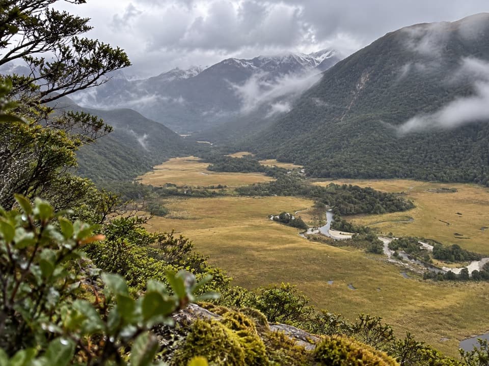 Sight · 15.8 km awayGrebe Valley LookoutGo past Borland Saddle for a high view over Grebe Valley.
Parkwolf’s Fiordland ranking

The audio tour guide for the drive, plus offline maps, trails, and wildlife heatmaps for when the signal drops.





