Rodger Inlet Bushline Route in Fiordland National Park

Fiordland National Park, SL

Rodger Inlet Bushline Route

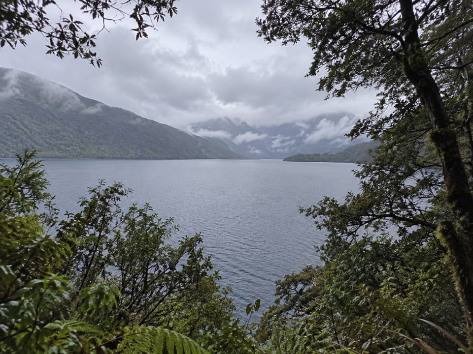
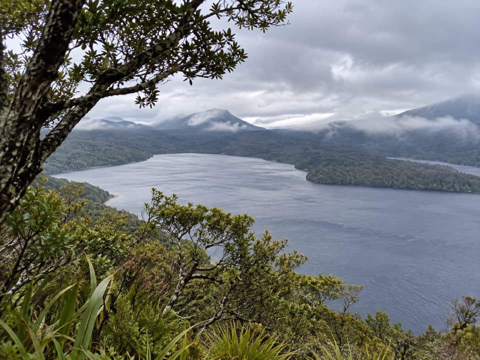
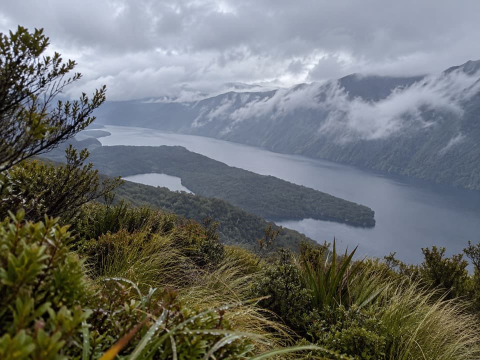
A hard climb from the hut to wide Lake Monowai views.

Length
7km
Time
4.5hr
Elev. change
908m
Difficulty
Challenging
  • No dogs
  • High point 1,125 m
Parkwolf audio tour112 stories across Fiordland’s roads

Overview

About Rodger Inlet Bushline Route

Why go

  • Wide Lake Monowai views from the open tops.

Heads up

  • An expert-level, very steep climb.
  • The hut itself takes a separate six-hour, 10 km walk to reach on foot.

Map & elevation

The route

Loading the Fiordland map
Full map
Elevation217–1,125 m
TrailheadRodger Inlet Hut-45.85750, 167.44323
Keep this map with you offline in the Parkwolf app

Plan your hike

Before you go

Parking

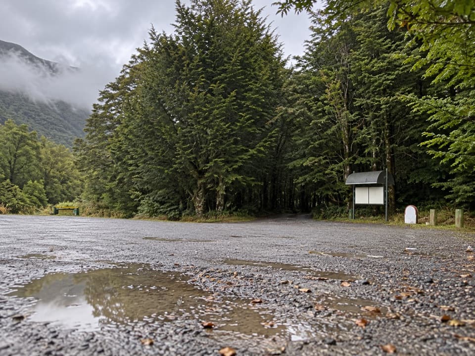
The Lake Monowai car park just before the road end is the land access. Rodger Inlet Hut is a 10 km, roughly six-hour walk each way on the Advanced Rodger Inlet Track. Boat access across Lake Monowai reaches the lakeshore historic hut; the standard hut where this route starts is another 40-minute walk on.

Safety

DOC grades this an Expert route. Expect a river crossing behind the hut, a very steep climb, orange markers that can be missed, a fainter line over the open tussock, and a steep descent that can be slippery.

A park ranger sits on a dash-mounted phone, talking, as Parkwolf’s Tour Guide plays “Army Cutworm Moths: A Grizzly Bear Buffet” on Grand Loop Road below Dunraven Pass in Yellowstone
Parkwolf Tour GuideThe highest, rockiest slopes around here are a summer buffet for grizzly bears.

Fiordland Tour Guide

Your drive to Rodger Inlet Bushline Route, narrated.

Parkwolf is a GPS audio tour guide for Fiordland National Park. As you drive, it chimes in with what’s ahead: hidden gems, upcoming stops, history, geology, and wildlife, right through your car’s speakers.

See the Fiordland audio tour

More stories near here in the app

  • Lake Monowai and the Peninsula Walk
  • 112 audio storiesacross Fiordland’s roads, triggered by GPS as you drive
  • Wildlife heatmapsfor Kea, Fiordland Penguin, Blue Duck, and 13 more
  • Works offlinemaps, 77 trails, 102 places, and audio download before you lose signal
  • CarPlay readysimple controls built for the drive
★★★★★
“Fantastic app with many points of information… It’s great to just turn on while you’re driving and it gives you an audio tour of the national Park. We love it!!!!”
JMJamesApp Store review
Download Parkwolf on the App StoreGet Parkwolf on Google Play

4.7 from 8,600+ ratings

Trail guide

Hiking Rodger Inlet Bushline Route

A remote climb with a clear payoffRodger Inlet Bushline Route is an expert out-and-back from Rodger Inlet Hut to the open tops…

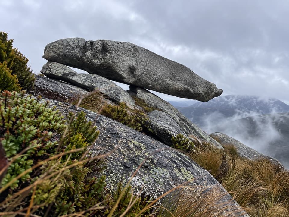
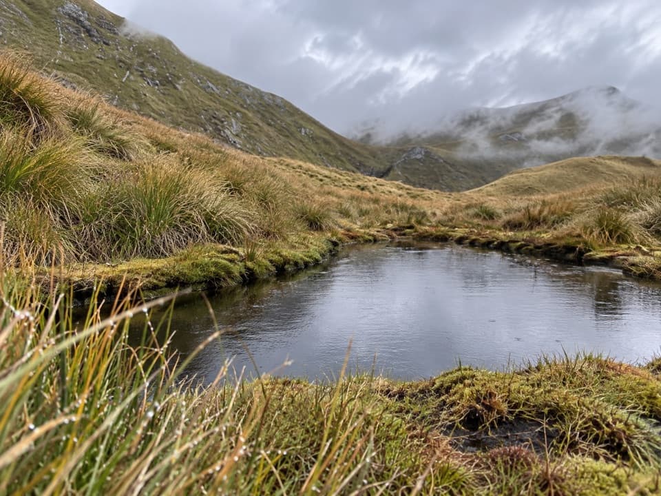
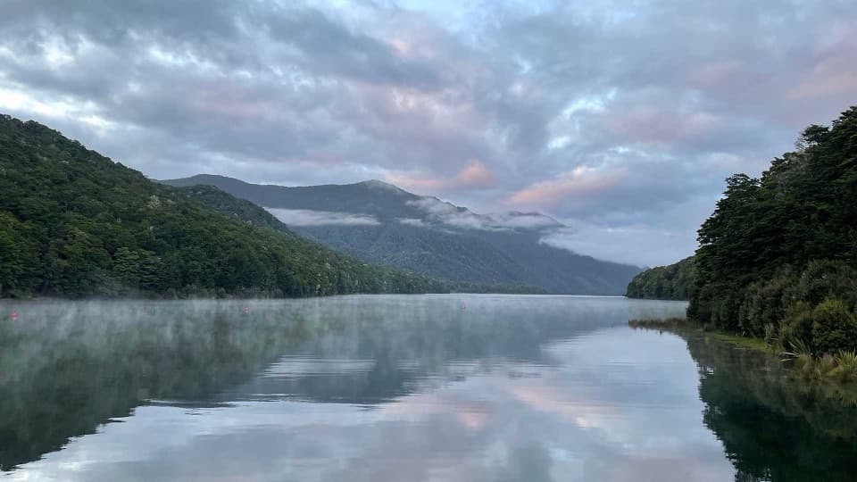
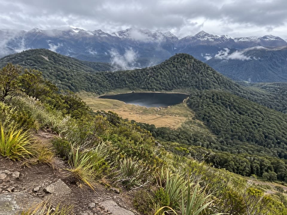
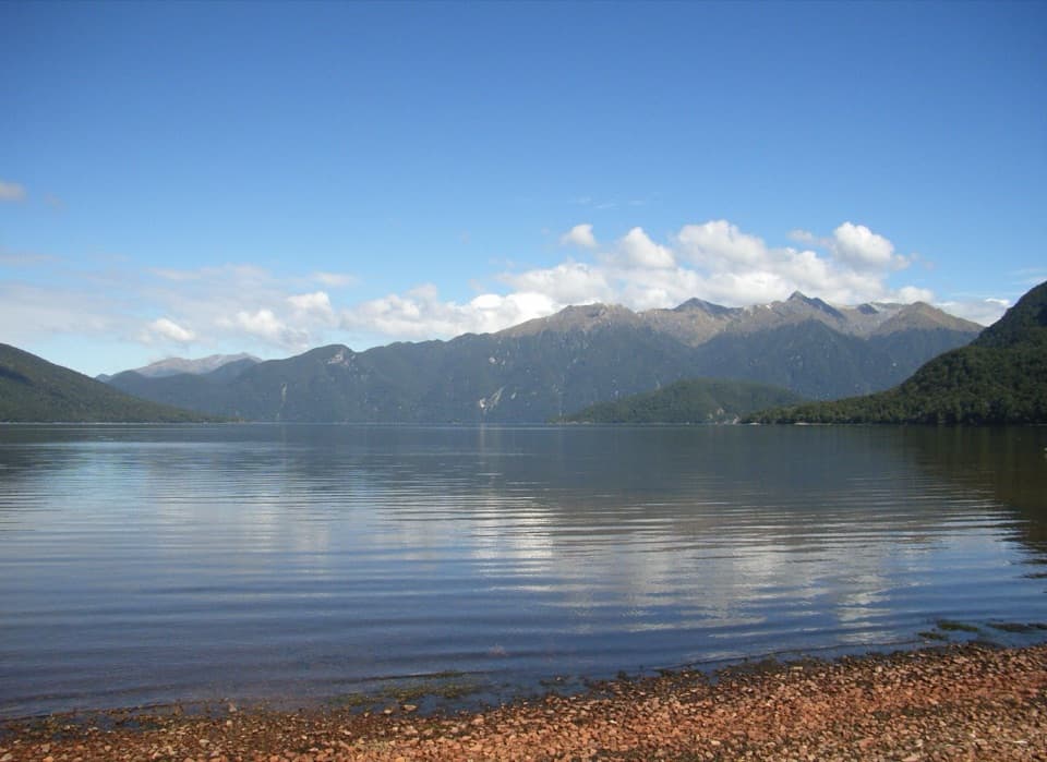
Rodger Inlet Bushline Route is an expert out-and-back from Rodger Inlet Hut to the open tops above Lake Monowai. Allow about 7 km return and 4–5 hours, with roughly 900 m of climbing. DOC gives 3.5 km to the bushline and says to return the same way, so the route line is stored once even though you walk it twice. The lake and its forested inlets open below the tussock tops. This is a serious tramp, not a casual add-on to a hut stay.

Climbing to the open topsCross the river behind the hut and follow the orange markers.

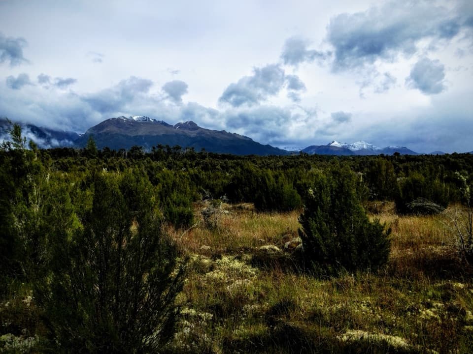
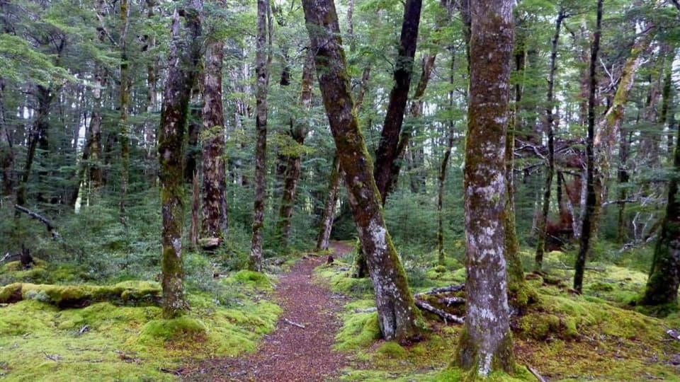
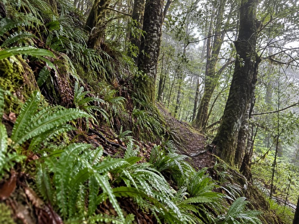
Cross the river behind the hut and follow the orange markers. The first 800 m is less steep; after that the climb sharpens into long, stair-like pitches with short flatter breaks. The forest keeps the views limited until you reach the bushline. Keep watching for markers as the track becomes less distinct across the tussock, then turn around at the marked open-tops viewpoint for this outing. Continuing farther along the tops makes a longer route. The steep descent is hard on your footing and can be slippery even when dry.

Getting to the hutThe route starts at Rodger Inlet Hut, not the Lake Monowai car park.

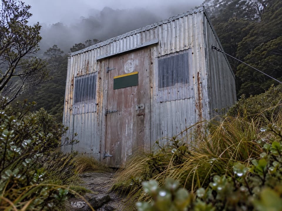
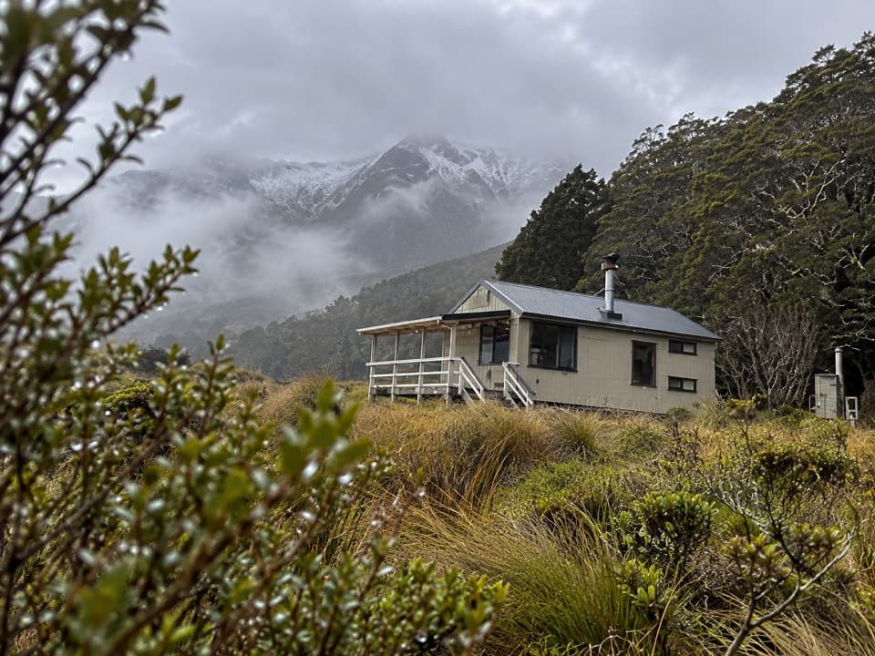
The route starts at Rodger Inlet Hut, not the Lake Monowai car park. The land approach from the car park is 10 km and about six hours each way on an Advanced tramping track. A boat can reach the lakeshore historic hut; the standard six-bunk hut where this climb starts is another 40-minute walk on. Its toilet is non-flush, tap water must be boiled, and bunks are first come with no booking. Dogs aren’t allowed.

Wildlife

Wildlife in Fiordland

All Fiordland wildlife maps

Sighting maps show where each species has been reported across Fiordland. Wildlife moves, so no sighting is guaranteed.

Keep exploring

Near Rodger Inlet Bushline Route

See it all on the map

Trails that start nearby

Places near the trailhead

Parkwolf’s Fiordland ranking

Top-rated trails in Fiordland

All 77 trails
  1. 1Milford TrackChallenging · 53.5 km
  2. 2Routeburn TrackChallenging · 33 km
  3. 3Kepler TrackChallenging · 60 km
  4. 4Routeburn Track: Key Summit TrackModerate · 6.8 km
  5. 5Lake Marian TrackChallenging · 6.2 km
  6. 6Hump Ridge TrackChallenging · 61.5 km

Take Parkwolf to Fiordland.

The audio tour guide for the drive, plus offline maps, trails, and wildlife heatmaps for when the signal drops.

4.7 from 8,600+ ratings

Download Parkwolf on the App StoreGet Parkwolf on Google Play