Place · 0.9 mi away

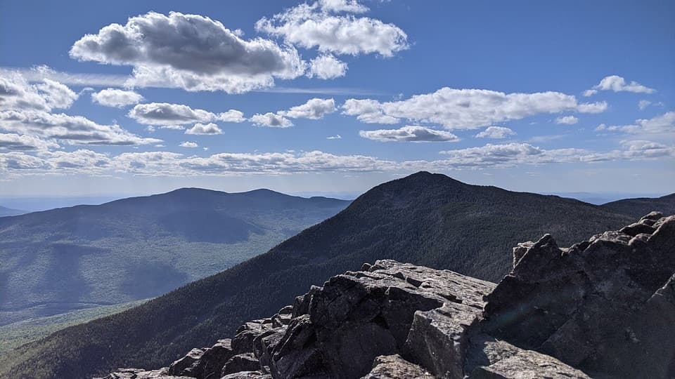
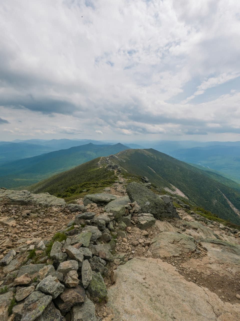
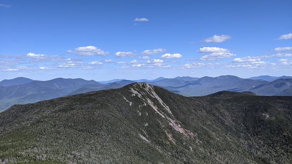
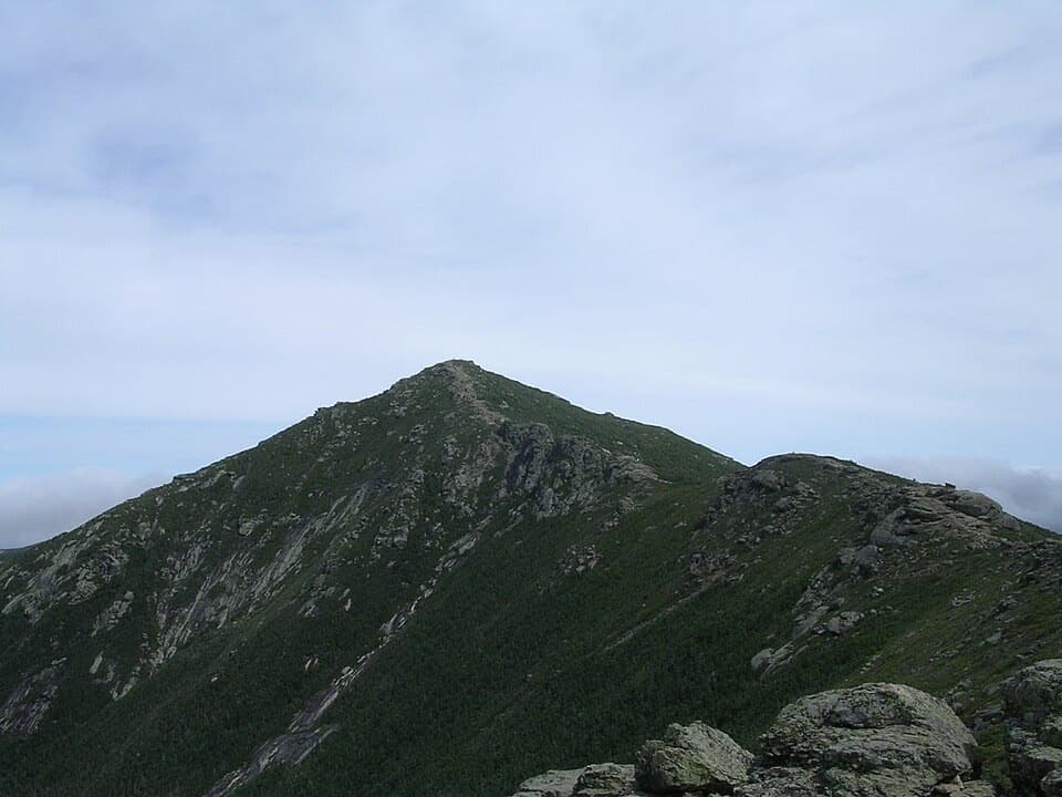
At 4,459 feet on the Franconia Ridge, Mount Liberty is a proud AMC four-thousand-footer with an airy, open summit. The last push includes a short scramble onto distinctive rock, and the payoff is true 360-degree scenery—Franconia Notch below with Lafayette and Flume framing the horizon.
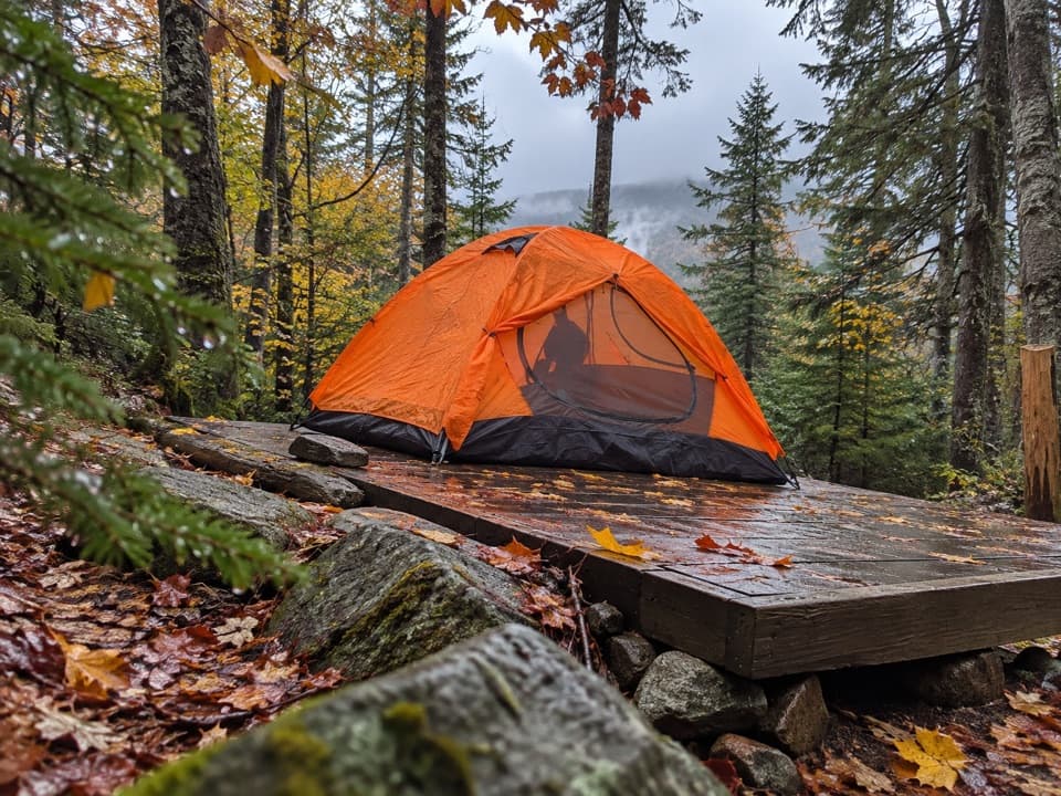
Most hikers tag Liberty via the Liberty Spring Trail, an out-and-back of roughly 7.1–8.6 miles round trip with about 3,100–3,200 feet of gain (4–6 hours, depending on where you park). From the Whitehouse Trail, hop briefly on the paved bike path to pick up Liberty Spring. At 0.6 miles you’ll pass the Flume Slide junction, then cross Spring Brook and grind up long stretches of well-built stone staircases. The Liberty Spring Campsite sits about halfway up with a water source; from there, continue to the Franconia Ridge Trail and turn right for 0.3 miles to the rocky, open top.
Want a bigger day? Continue 1.2 miles south along the ridge to Mount Flume and back for about 9.4 miles total (plan 7.5–8 hours). Experienced hikers sometimes make a loop by ascending the Flume Slide and descending Liberty Spring—save this for dry conditions only and don’t descend the Slide; it’s steep, slabby, and often wet.
Expect dense woods and little in the way of views until you pop onto Liberty’s cliffy summit. Up top, you get commanding angles into the Notch and across to Lafayette and Flume, with plenty of room to wander and soak up the panorama.
It’s a worthy hike in all seasons. In winter, Liberty Spring is often packed into a firm crust in the trees, while the ridge can drift and load with windblown snow. Traction (microspikes/snowshoes as conditions dictate) and full winter kit are smart. In any season, trekking poles help on the relentlessly steep grades.
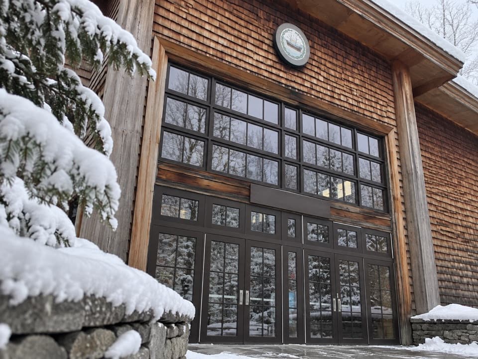
Park at the Whitehouse Trailhead lot on the southbound side of the Parkway, about 0.2 miles north of the Flume Visitor Center; a vault/pit toilet sits roughly 200 feet to the right of the trailhead. The lot is modest—one recent report counted around 15 spots—so arrive early. Cell service is spotty and some phone map apps misplace the trailhead; verify your endpoint before driving. Dogs are allowed on leash; the rocky footing has some owners using booties. Bears have been seen in the area—store food properly and follow standard wildlife precautions.
June through October offers the friendliest trail conditions. Go early on weekends or choose a weekday to beat crowds and secure parking. For photography, the summit’s broad exposure rewards clear days with long-range views; plan extra time up top if skies cooperate.