Parking
Park in the Basin East or Basin West areas off I-93. Follow the paved Basin path to the Pemi Trail junction at the west end of the trail maze, about 0.2 mile from parking; that is the start of the named trail.

#5 of 29 trails in Franconia Notch
Franconia Notch State Park, NH
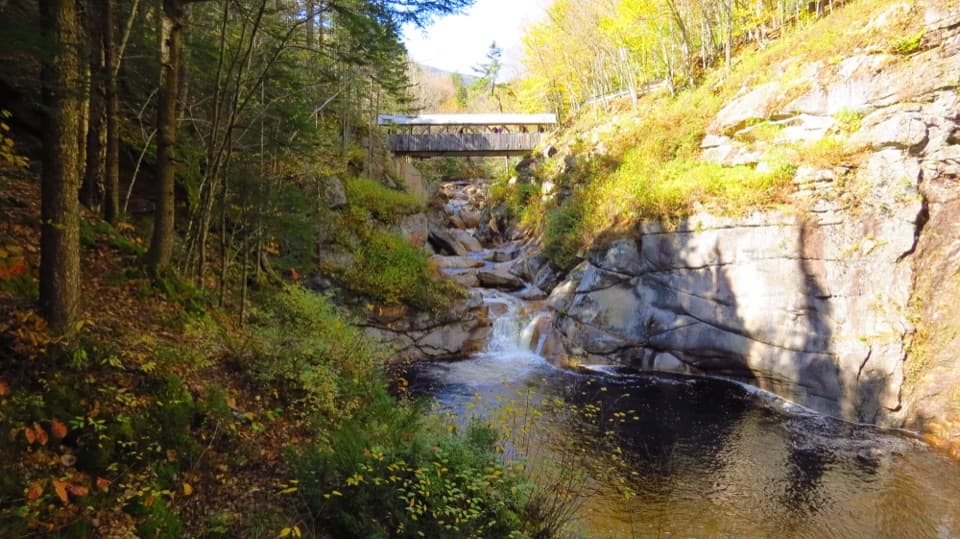
Cascade Brook's granite ledges and small falls earn the extra walk.
Overview
Map & elevation
Plan your hike

The highest, rockiest slopes around here are a summer buffet for grizzly bears.
Franconia Notch Tour Guide
Parkwolf is a GPS audio tour guide for Franconia Notch State Park. As you drive, it chimes in with what’s ahead: hidden gems, upcoming stops, history, geology, and wildlife, right through your car’s speakers.
See the Franconia Notch audio tourRecorded for this trailhead
The Basin’s Water-Carved Bowl“The Basin is coming up, and it's a good choice for a short stop without a mountain hike. A paved path leads to a waterfall pouring into a smooth granite bowl in the Pemigewasset River.”
Plays as you drive up to this trailhead in the Parkwolf Franconia Notch Tour Guide.
More stories near here in the app
“Fantastic app with many points of information… It’s great to just turn on while you’re driving and it gives you an audio tour of the national Park. We love it!!!!”


Trail guide
Basin Cascade Trail is a roughly 2-mile out-and-back from the Basin parking areas, including the short walk through the Basin trail maze to the Pemi Trail junction. From there, the path follows Cascade Brook to the Cascade Brook Trail and Appalachian Trail junction. Allow about two hours with stops, for roughly 500 feet of climbing on uneven ground. Choose it for the running water, granite ledges and falls; there isn't a summit or big viewpoint at the end. If you only want the Basin itself, its short paved walk is an easier, separate visit.
The actual forest trail starts at the Pemi junction on the west end of the Basin maze, about 0.2 mile from the lots. The paved approach circles the Basin, where water curls through a narrow rock chute into a deep, rounded pool beneath an overhang. It is a striking little feature, but it's separate from the Cascade Brook route. Once you reach the junction, turn onto the rougher trail heading upstream.
The path enters the woods and stays close to the brook. It starts gently, then grows steeper and rockier as you gain height. You'll pass several small cascades and broad granite shelves where water sheets over the bedrock. A short spur about 0.4 mile beyond the Basin paths reaches Kinsman Falls, a narrow drop into a pool. Take the spur for a closer look, but stay on stable ground; the slabs right beside the water can be slick.
Kinsman Falls is a focused plunge; farther up, Rocky Glen Falls breaks into steps in a tight gorge. The route follows the brook between them, with stretches where the channel spreads over open rock and others where it funnels between boulders. From a safe spot back from the water, include both the sloping granite and the stream in a photo. A tight crop of white water misses what makes this walk feel like a series of little cascades rather than one viewpoint.
The trail continues toward its junction with Cascade Brook Trail and the Appalachian Trail. Reaching it involves a brook crossing above Rocky Glen Falls. Reports say the old bridge was washed out, and a current replacement or safe crossing wasn't confirmed. Don't count on a bridge being there. If the water is high or the rocks are slick, turn back before the crossing instead of trying to force it; the falls and brookside walk below it still make a satisfying shorter outing.
Use Basin East or Basin West parking off I-93, then follow the paved Basin path to the west-end junction. The trailhead has no potable water, so bring what you need. Dogs are allowed on hiking trails in the park, on a leash no longer than six feet; they aren't allowed on ski trails.
Wildlife
 66 sightingsBlack BearMost seen around 7 PMSighting map
 38 sightingsMooseMost seen around 6 AMSighting map
 19 sightingsWild TurkeyMost seen around 6 AMSighting map
 19 sightingsGreat Blue HeronMost seen around 5 PMSighting map
 13 sightingsTurkey VultureMost seen around noonSighting map
 23 sightingsRavenMost seen around 11 AMSighting map
Sighting maps show where each species has been reported across Franconia Notch. Wildlife moves, so no sighting is guaranteed.
Keep exploring
 ModerateKinsman Pond Trail2.2 mi · 2 hr · 1.1 mi awayA rough, wet climb to a high pond and backcountry shelter
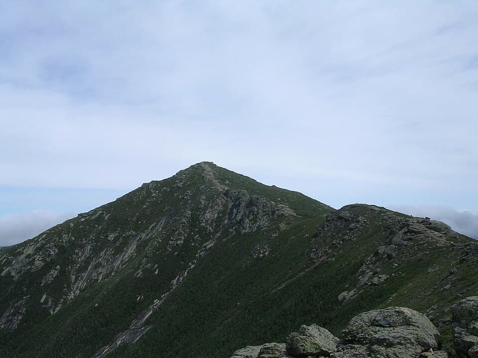 ChallengingFranconia Ridge Trail Loop8.1 mi · 8.5 hr · 1.4 mi awayA full-day loop over three exposed summits above Franconia Notch.
 ChallengingFalling Waters Trail5.9 mi · 5.5 hr · 1.4 mi awayWaterfalls up front; Little Haystack is the hard part.
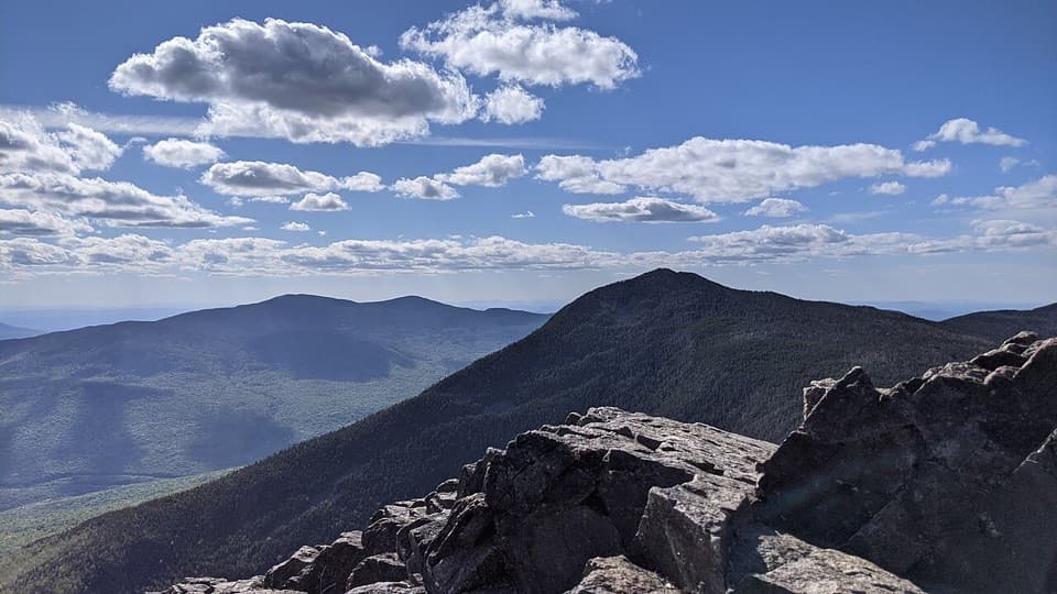 ChallengingMount Liberty and Mount Flume via Liberty Spring Trail10.2 mi · 8 hr · 1.4 mi awayTwo rugged summits, a rocky ridge traverse, and broad mountain views.
 ModerateCascade Brook Trail6.7 mi · 4.5 hr · 1.4 mi awayA brookside climb ends at Lonesome Lake beside an AMC hut.
 ChallengingMount Liberty via Liberty Spring Trail7.5 mi · 6.5 hr · 1.4 mi awaySteep climb, big summit views, and Mount Flume’s slides.
 ChallengingOld Bridle Path to Greenleaf Hut5.8 mi · 6 hr · 1.5 mi awayA steep hut climb with two open ledges and Franconia Notch views.
 ModerateLonesome Lake Trail3 mi · 2.5 hr · 1.5 mi awayA climb to a glacial lake with Franconia Ridge across the water.
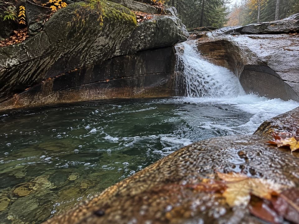 Sight · At the trailheadThe BasinA river-carved granite bowl and waterfall, reached by a short paved walk.
 Sight · 0.3 mi awayKinsman FallsA narrow cleft sends Cascade Brook into a dark plunge pool.
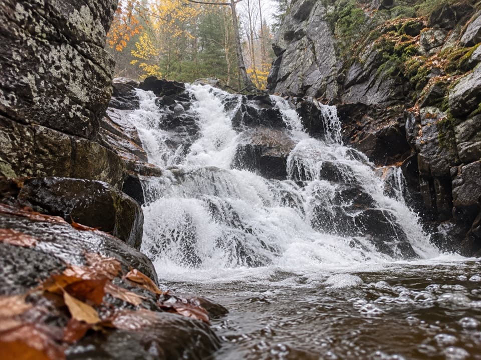 Sight · 0.6 mi awayRocky Glen FallsA stepped gorge waterfall worth the uphill finish.
 Campground · 1.5 mi awayLafayette Place CampgroundA wooded base camp for hiking, biking, fishing and swimming.
 Lodging · 1.6 mi awayLonesome Lake HutA hike-in hut with bunks, hot soup, and a lakeside dock.
 Sight · 1.6 mi awayCloudland FallsAn 80-foot fan of water is the payoff on an uphill hike.Sight · 1.6 mi awayLonesome LakeFranconia Ridge across a small alpine lake, after a 1,000-foot climb.
 Sight · 1.6 mi awayFlume GorgeFollow a brook through an 800-foot granite gorge and two bridges.
Parkwolf’s Franconia Notch ranking

The audio tour guide for the drive, plus offline maps, trails, and wildlife heatmaps for when the signal drops.