Parking
Start at the Flume Visitor Center parking area off I-93 Exit 34A. Follow the Franconia Notch Bike Path and signed gravel connector beneath I-93 to the blue blazes. The lot can fill on summer weekends.

#6 of 29 trails in Franconia Notch
Franconia Notch State Park, NH
A steady forest climb to an open granite summit above the Notch.
Overview
Map & elevation
Plan your hike

The highest, rockiest slopes around here are a summer buffet for grizzly bears.
Franconia Notch Tour Guide
Parkwolf is a GPS audio tour guide for Franconia Notch State Park. As you drive, it chimes in with what’s ahead: hidden gems, upcoming stops, history, geology, and wildlife, right through your car’s speakers.
See the Franconia Notch audio tourRecorded for this trailhead
Mount Pemigewasset and the Indian Head Profile“You're nearing the Flume parking area and the start of the Mount Pemigewasset hike.”
Plays as you drive up to this trailhead in the Parkwolf Franconia Notch Tour Guide.
More stories near here in the app
“Fantastic app with many points of information… It’s great to just turn on while you’re driving and it gives you an audio tour of the national Park. We love it!!!!”


Trail guide
Mount Pemigewasset Trail is a 3.3-mile out-and-back from the Flume Visitor Center parking area to the open ledges on Mount Pemigewasset and back, with about 1,260 feet of climbing. The total includes the walk from the lot along the recreation path and beneath I-93; the blue-blazed summit trail begins beyond that approach. Other published distances vary, but this full mapped route is just over three miles round trip. It is a compact but real climb, not a casual stroll. Allow about two and a half to three hours with a summit stop, especially if the ground is wet.
Follow the Franconia Notch Bike Path from the Flume lot, then take the signed gravel connector under I-93. The blue blazes begin on the far side. That approach is short, but it belongs in the route distance and is easy to miss if you expect the trail to start in the parking area. Near the summit, the Mount Pemigewasset Trail meets the separate Indian Head Trail. Stay with the blue blazes and turn back the way you came for this out-and-back.
Most of the ascent stays in forest, on dirt with roots, rocks and uneven stone steps. The grade rises steadily, with a few steeper sections; the mileage understates the effort a little because there is not much flat walking on the climb. Rain can leave roots, rocks and occasional mud slick, so give your feet as much attention on the way down as on the way up. The summit is the payoff, not a view that opens gradually through the whole hike.
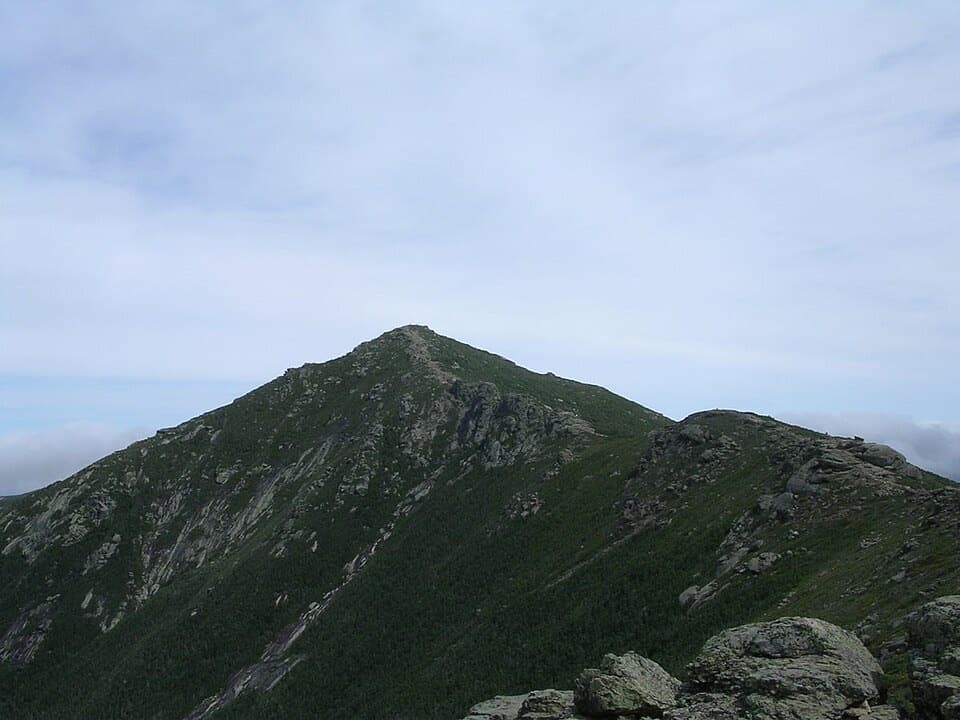
The trees give way to a broad granite slab at the summit, and the view opens across Franconia Notch and Franconia Ridge. Walk out on the rock for different angles, but stay well back from the sharp drop at the edge, especially when the slab is wet or icy. This is the place to pause rather than turn around immediately: frame a strip of granite or spruce with the ridges beyond, so the photo shows the ledge as well as the view.
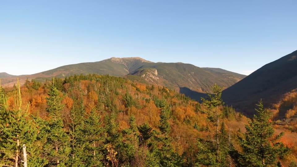
Mount Pemigewasset is also called Indian Head because the summit ledges form a face-like profile when seen from below. The Indian Head name also belongs to a different trail that climbs from the south side near Indian Head Resort. That trail reaches the same summit but has a separate start and its own mileage. Summit listings and visitor accounts often mix both routes, so use the Flume lot and the blue-blazed approach when following the distance and directions here.
The Flume Visitor Center is beside the start and has restrooms, a food court and a gift shop; those are at the trailhead, not along the climb. The parking area can fill on summer weekends, so leave time to find a space. Leashed dogs are allowed on this route.
Wildlife
 66 sightingsBlack BearMost seen around 7 PMSighting map
 38 sightingsMooseMost seen around 6 AMSighting map
 19 sightingsWild TurkeyMost seen around 6 AMSighting map
 19 sightingsGreat Blue HeronMost seen around 5 PMSighting map
 13 sightingsTurkey VultureMost seen around noonSighting map
 23 sightingsRavenMost seen around 11 AMSighting map
Sighting maps show where each species has been reported across Franconia Notch. Wildlife moves, so no sighting is guaranteed.
Keep exploring
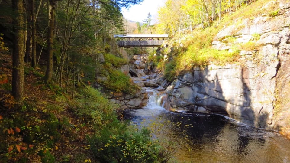 ModerateFlume Gorge Trail2 mi · 1.8 hr · 0.1 mi awayA two-mile loop through a granite gorge, waterfalls, and a glacial pool.
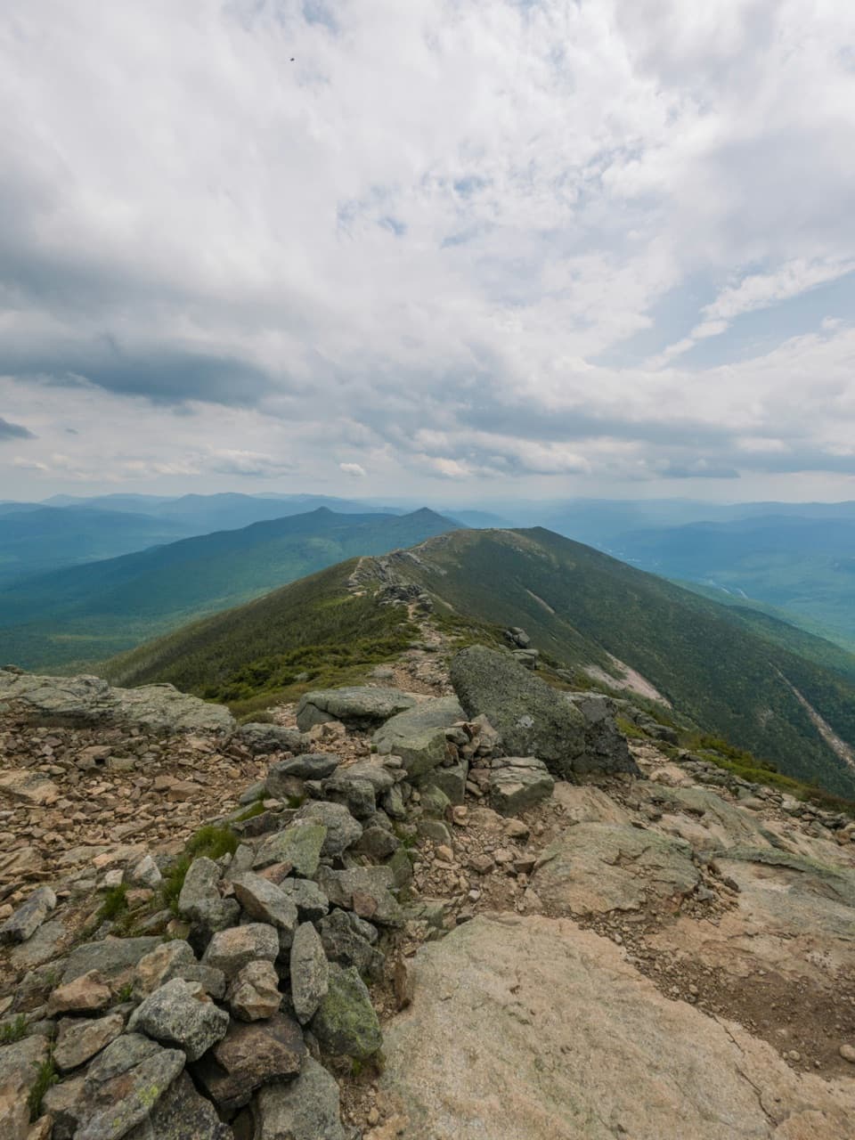 ChallengingFranconia Ridge Traverse16.7 mi · 12 hr · 0.1 mi awayFour 4,000-footers, a long day, and miles of exposed ridge.
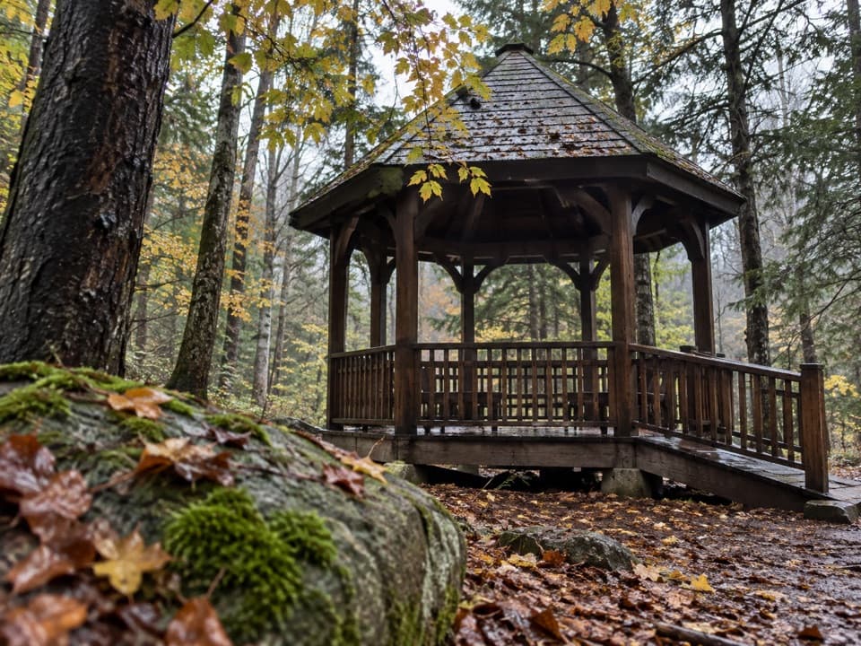 EasyRoaring River Memorial Nature Trail0.3 mi · 30 min · 0.1 mi awayA short woodland loop with a 1988 memorial gazebo.
 ChallengingMount Liberty via Liberty Spring Trail7.5 mi · 6.5 hr · 0.3 mi awaySteep climb, big summit views, and Mount Flume’s slides.
 ModerateCascade Brook Trail6.7 mi · 4.5 hr · 0.3 mi awayA brookside climb ends at Lonesome Lake beside an AMC hut.
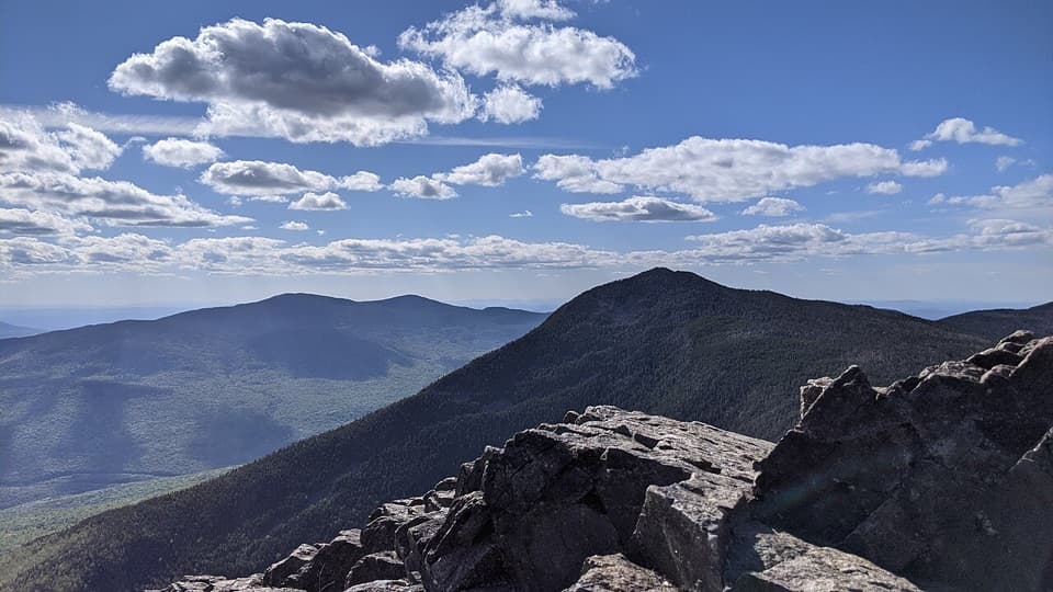 ChallengingMount Liberty and Mount Flume via Liberty Spring Trail10.2 mi · 8 hr · 0.3 mi awayTwo rugged summits, a rocky ridge traverse, and broad mountain views.
 ModerateIndian Head Trail3.8 mi · 3 hr · 1.1 mi awayA rocky climb to open summit ledges with broad views.
 ModerateBasin Cascade Trail2 mi · 2 hr · 1.7 mi awayCascade Brook's granite ledges and small falls earn the extra walk.
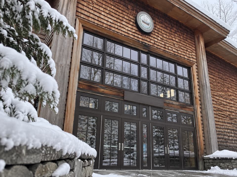 Visitor center · At the trailheadGilman Visitor CenterTickets, park info, food and exhibits at the Flume entrance.
 Sight · 0.6 mi awayFlume GorgeFollow a brook through an 800-foot granite gorge and two bridges.
 Sight · 1 mi awayMount PemigewassetBroad ledges turn a steady climb into a Franconia Notch view.
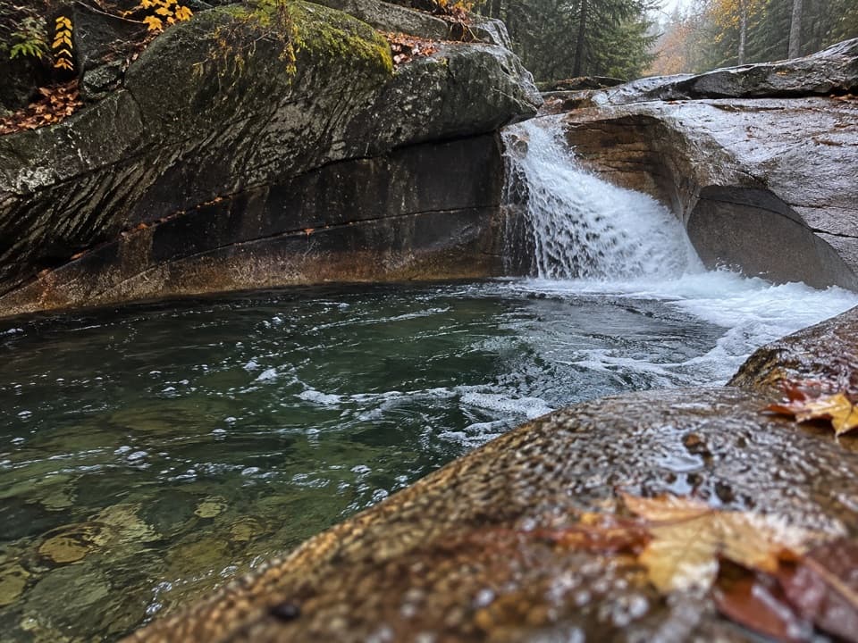 Sight · 1.7 mi awayThe BasinA river-carved granite bowl and waterfall, reached by a short paved walk.
 Sight · 1.8 mi awayKinsman FallsA narrow cleft sends Cascade Brook into a dark plunge pool.
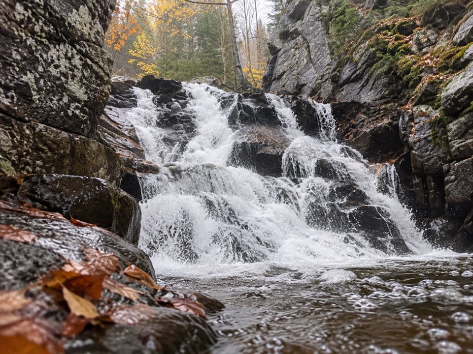 Sight · 2.1 mi awayRocky Glen FallsA stepped gorge waterfall worth the uphill finish.
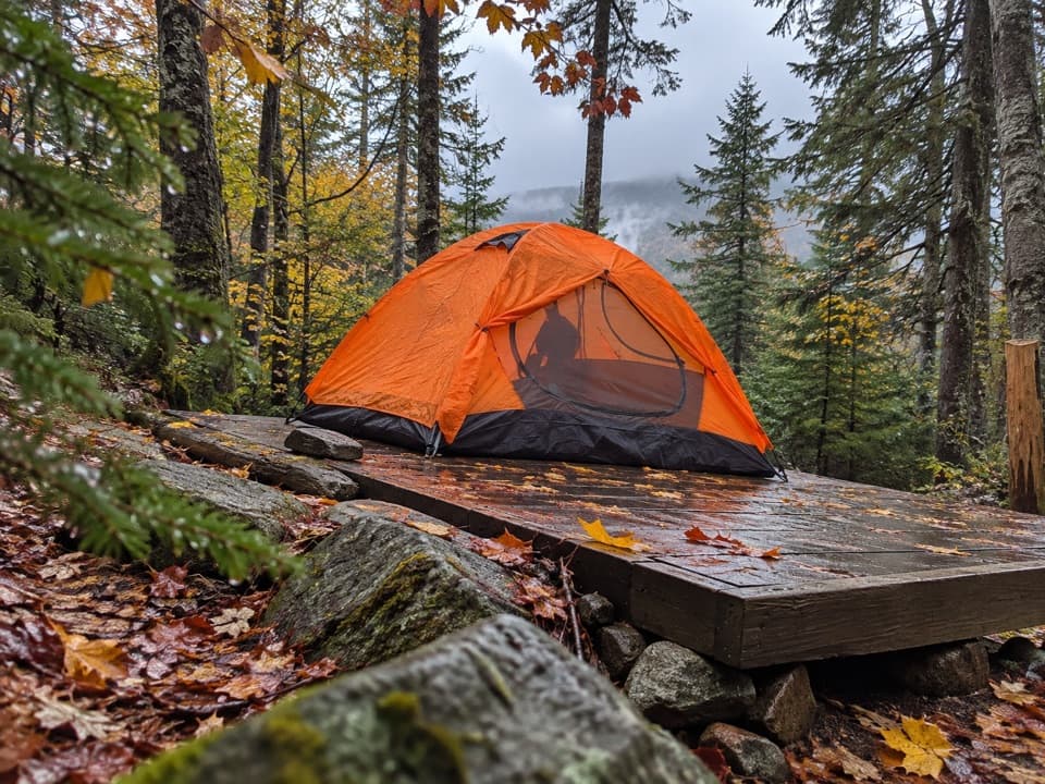 Campground · 2.2 mi awayLiberty Springs TentsiteA useful backpacking stop just below the Franconia Ridge junction.Sight · 2.3 mi awayMount LibertyA long climb earns a rocky summit and wide Franconia Ridge views.
Parkwolf’s Franconia Notch ranking

The audio tour guide for the drive, plus offline maps, trails, and wildlife heatmaps for when the signal drops.