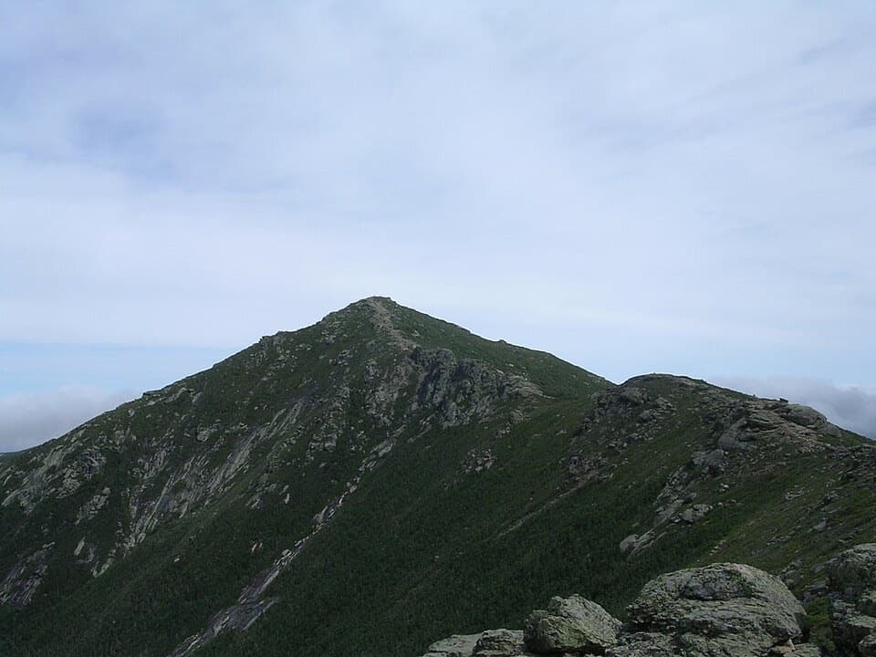
Parking
At Exit 34B off I-93, use the signed hiker-parking dirt lot on the south (left) side of the Cannon Mountain Aerial Tramway lot. Parking in the notch is limited and busy lots fill early. Do not park on I-93.

#7 of 29 trails in Franconia Notch
Franconia Notch State Park, NH
A hard climb earns a clear view across Franconia Ridge.
Overview
Cannon Mountain via Kinsman Ridge Trail is a steep 4.1-mile out-and-back from the tramway hiker lot to the 4,083-foot summit. Allow about three to four hours. It is short for a White Mountains summit, but the climb is rough and rocky, with no easy warm-up: the trail starts uphill almost as soon as it leaves the lot. Go for a hard half-day and a wide look across Franconia Notch and toward the Franconia Range. This is the northern end of Kinsman Ridge Trail, not the full ridge traverse.
 Parkwolf’s verdictIs this the climb for you?
Map & elevation
Plan your hike

The highest, rockiest slopes around here are a summer buffet for grizzly bears.
Franconia Notch Tour Guide
Parkwolf is a GPS audio tour guide for Franconia Notch State Park. As you drive, it chimes in with what’s ahead: hidden gems, upcoming stops, history, geology, and wildlife, right through your car’s speakers.
See the Franconia Notch audio tourRecorded for this trailhead
Cannon Mountain via Kinsman Ridge“You're approaching the Kinsman Ridge trailhead for Cannon Mountain, a hard half-day hike with views across the Notch.”
Plays as you drive up to this trailhead in the Parkwolf Franconia Notch Tour Guide.
More stories near here in the app
“Fantastic app with many points of information… It’s great to just turn on while you’re driving and it gives you an audio tour of the national Park. We love it!!!!”


Trail guide
From signed hiker parking, follow the short dirt access road past a gravel pile and turn into the woods at the Kinsman Ridge sign. Steep switchbacks climb an eroded, loose-gravel gully. About 0.9 mile from the lot, the path reaches Kinsman Glade. It crosses this ski trail once, then crosses it three more times; the tread gets noticeably rockier after the first crossing. Each opening gives a little more view through the trees, including Echo Lake, Bald Mountain, Eagle Cliff and the Great North Woods. When the glade is active, watch for ski traffic as you cross and stay on the hiking path.
After the last glade crossing, the trail climbs very rocky ground along the left edge before easing for about 0.3 mile to a rocky area. A short spur to the left reaches an open ledge above Cannon Cliffs. This is the best pause on the climb: look across the notch to the Franconia Range, south over the lowlands by I-93, and back up toward Cannon's summit. It is a side trip, so expect to walk farther than the mapped summit line if you take it.
Back on the main trail, you climb East Peak, drop to a muddy-prone stretch, then climb again across open ledges and a small talus slope. The views open briefly as you look back toward East Peak before the path returns to the forest. Near the summit area, Kinsman Ridge meets gravel paths around the mountain facilities. Follow the signed path toward Cannon's high point; if you keep left where Kinsman Ridge leaves the visitor path, you'll head south on the longer ridge route instead. The summit is the turnaround, with a broad view toward Franconia Ridge and across the notch.
Use the signed hiker-parking dirt lot on the south, left side of the Cannon Mountain Aerial Tramway lot at Exit 34B. Franconia Notch parking is limited and busy lots fill early; parking on I-93 is illegal. Dogs aren't allowed on the hiking trails here; use only the signed dog-walk areas near the lots. Plan the full walk back to the same lot.
Published round-trip distances vary from 4.1 to 4.6 miles. This guide uses 4.1 miles for the summit out-and-back; the detailed route account includes the Cannon Cliffs spur and summit paths but doesn't explain the difference. Any side trips or extra summit walking add distance, so leave extra time if you take them.
Wildlife
 66 sightingsBlack BearMost seen around 7 PMSighting map
 38 sightingsMooseMost seen around 6 AMSighting map
 19 sightingsWild TurkeyMost seen around 6 AMSighting map
 19 sightingsGreat Blue HeronMost seen around 5 PMSighting map
 13 sightingsTurkey VultureMost seen around noonSighting map
 23 sightingsRavenMost seen around 11 AMSighting map
Sighting maps show where each species has been reported across Franconia Notch. Wildlife moves, so no sighting is guaranteed.
Keep exploring
 ChallengingKinsman Ridge Trail15.8 mi · 12 hr · At the trailheadA full day across Cannon, the Cannon Balls, and both Kinsmans.
 ChallengingMount Lafayette via Greenleaf Trail6.6 mi · 6.5 hr · 0.2 mi awayEagle Pass, Greenleaf Hut, and a hard climb to Lafayette.
 EasyPemi Trail4 mi · 2.5 hr · 0.2 mi awayA rough river trail connects Profile Lake with The Basin.
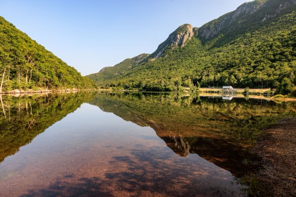 EasyProfile Lake via Pemi Trail1.3 mi · 45 min · 0.2 mi awayA short, rocky shore walk below Eagle CliffEasyCannon Mountain Rim Trail Loop0.4 mi · 45 min · 0.9 mi awayA short summit loop with Franconia Notch views and exposed ledges.
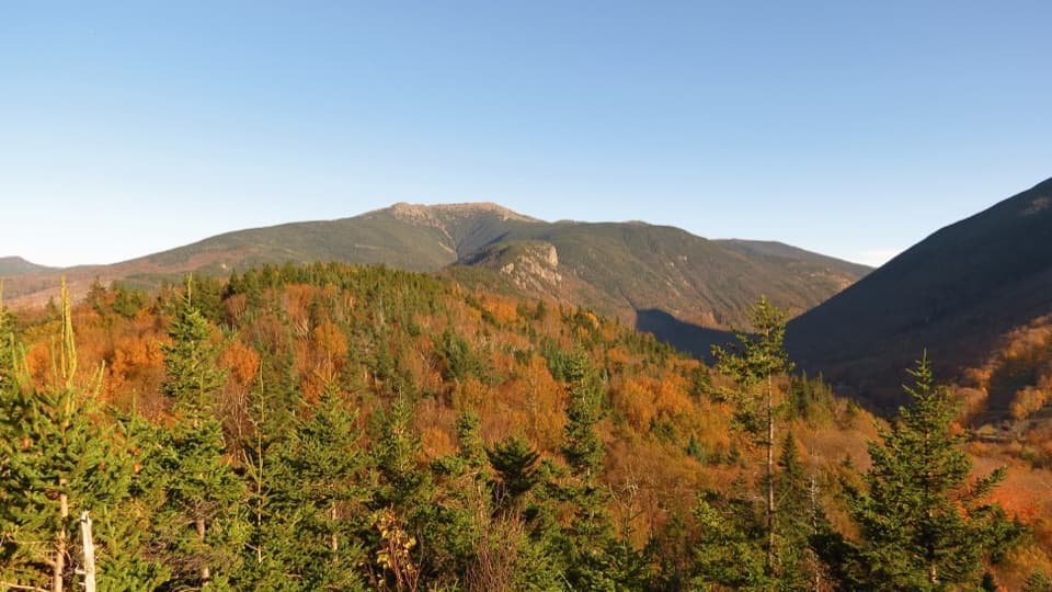 ModerateArtists Bluff and Bald Mountain Loop1.3 mi · 1.3 hr · 1.1 mi awayEcho Lake below, big peaks ahead, in a short two-viewpoint loop.
 ModerateBald Mountain Trail0.7 mi · 30 min · 1.1 mi awayA short scramble to open rock and Franconia Notch views.
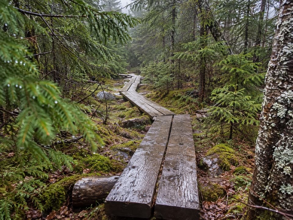 ChallengingNorth and South Kinsman via Fishin’ Jimmy Trail9.8 mi · 9 hr · 1.8 mi awayA long, rough climb links two Kinsman summits above Franconia Notch.
 Sight · 0.1 mi awayOld Man of the Mountain MuseumFive granite ledges shaped a face woven into New Hampshire's story.
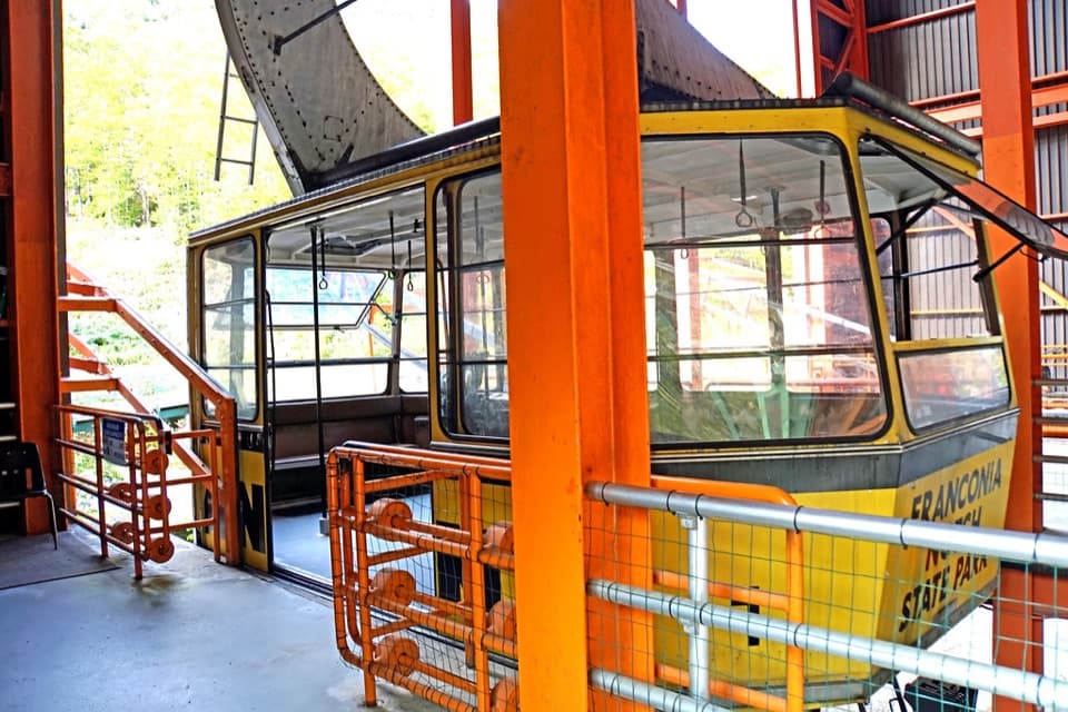 Sight · 0.1 mi awayCannon Mountain Aerial TramwayA 1938 lift that carried generations of skiers to the summit.
 Sight · 0.2 mi awayNew England Ski Museum (Franconia Branch)New England ski history, from vintage gear to the 10th Mountain Division.
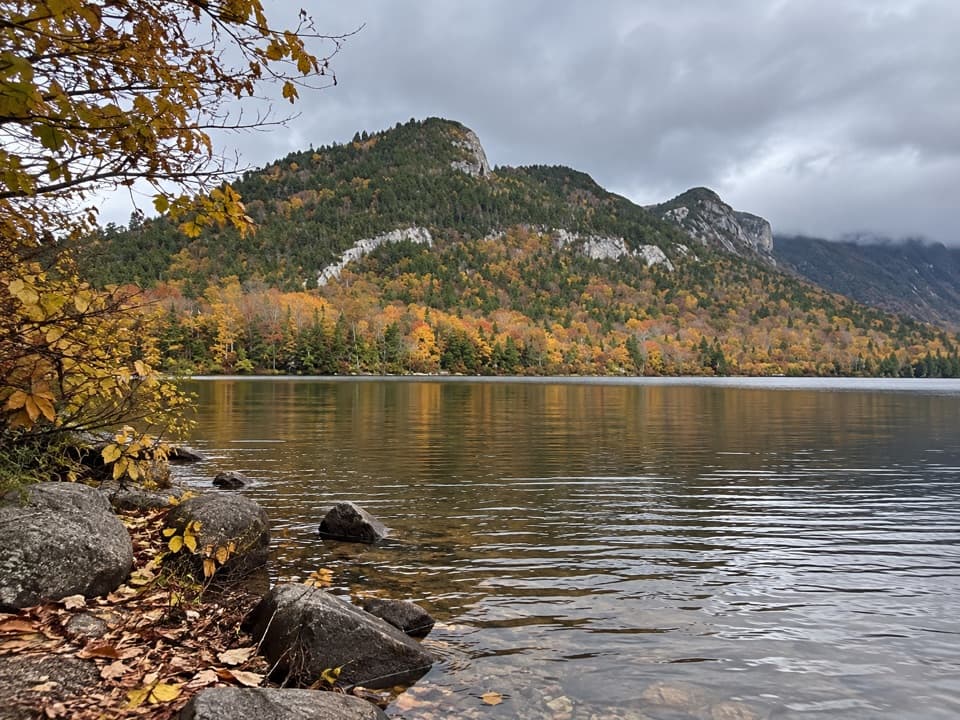 Sight · 0.3 mi awayEcho Lake Boat LaunchA public put-in for your own boat on Echo Lake.
 Sight · 0.5 mi awayOld Man of the Mountain Profile PlazaStand at the marker and line up the face that fell.
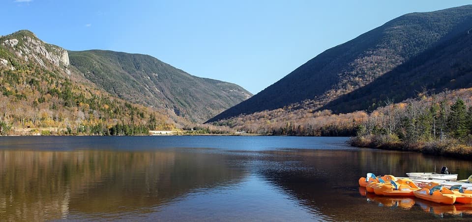 Beach · 0.7 mi awayEcho Lake BeachA mountain-framed swim beach with kayaks at the water’s edge.
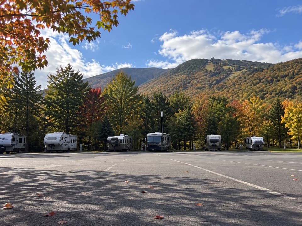 Campground · 0.8 mi awayCannon Mountain RV ParkSeven RV sites beside Echo Lake Beach, close to Franconia Notch.Sight · 0.8 mi awayProfile LakeA fly-fishing lake beneath the vanished Old Man profile.
Parkwolf’s Franconia Notch ranking
The audio tour guide for the drive, plus offline maps, trails, and wildlife heatmaps for when the signal drops.