Cannon Mountain Rim Trail Loop in Franconia Notch State Park

Franconia Notch State Park, NH

Cannon Mountain Rim Trail Loop

A short summit loop with Franconia Notch views and exposed ledges.

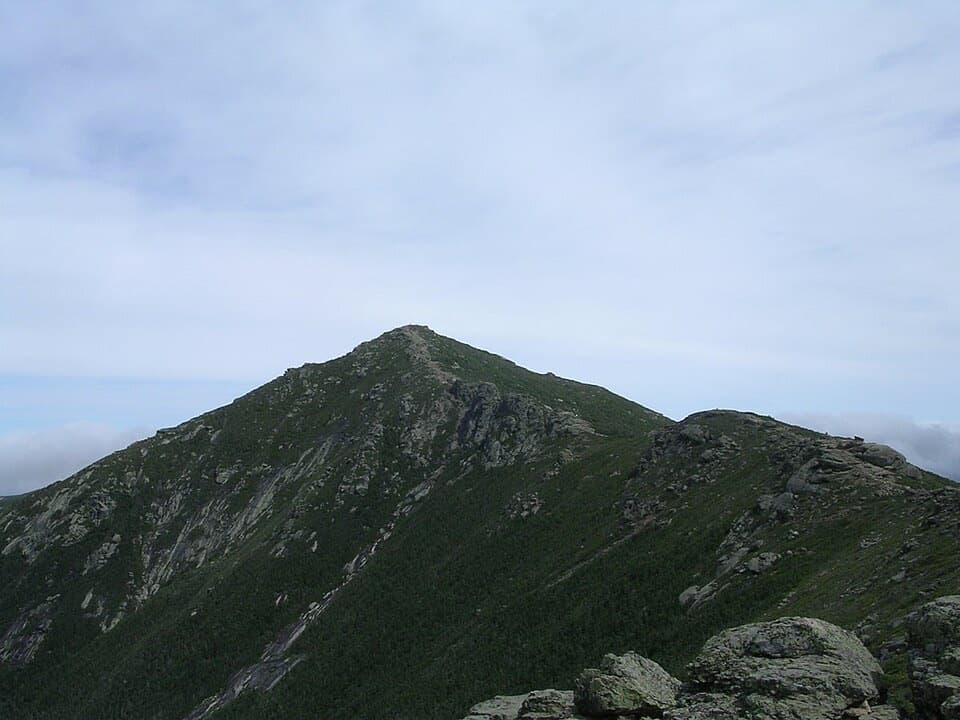
Photo: Wikimedia Commons
Length
0.4mi
Time
45min
Elev. change
69ft
Difficulty
Easy
  • Loop
  • No dogs
  • High point 4,055 ft

Hear the audio tour

Cannon Mountain via Kinsman Ridge

Overview

About Cannon Mountain Rim Trail Loop

Why go

  • Broad views into Franconia Notch from the summit ledges
  • A distinct summit payoff in a short circuit

Heads up

  • Exposed, unguarded ledges are uncomfortable for visitors wary of heights
  • Reaching this short summit loop requires a tram ride or a much longer hike

Map & elevation

The route

Loading the Franconia Notch map
Full map
Elevation3,986–4,055 ft
TrailheadCannon Mountain Aerial Tramway summit station44.15840, -71.69831
Keep this map with you offline in the Parkwolf app

Plan your hike

Before you go

Parking

The loop starts at the Cannon Mountain Aerial Tramway summit station; there is no separate valley-side lot for this circuit. For lift access, use the Tramway base lot at Exit 34B. On foot, park at the trailhead for your chosen ascent; the nearby Kinsman Ridge start is at the Tramway base area.

Safety

The Rim Trail runs beside exposed cliff edges with no guardrail. Pets are limited to marked dog walks near the Tramway and Flume parking lots, not summit trails.

2 active Franconia Notch alerts

  • ClosureCannon Mountain Aerial Tramway closed and retiredMentions Cannon Mountain Aerial Tramway, referenced in this guideThe Cannon Mountain Aerial Tramway (Tram II) is closed and retired; do not plan on a tram ride.Official details
  • ClosureFlume Gorge Short Trail closed; seasonal closure Oct 26The Flume Gorge Short Trail/Rim Path is closed; before the seasonal closure, visitors must use the full 2-mile loop.Official details
Franconia Notch alerts
A park ranger sits on a dash-mounted phone, talking, as Parkwolf’s Tour Guide plays “Army Cutworm Moths: A Grizzly Bear Buffet” on Grand Loop Road below Dunraven Pass in Yellowstone
Parkwolf Tour GuideThe highest, rockiest slopes around here are a summer buffet for grizzly bears.

Franconia Notch Tour Guide

Your drive to Cannon Mountain Rim Trail Loop, narrated.

Parkwolf is a GPS audio tour guide for Franconia Notch State Park. As you drive, it chimes in with what’s ahead: hidden gems, upcoming stops, history, geology, and wildlife, right through your car’s speakers.

See the Franconia Notch audio tour

Recorded for this area

Cannon Mountain via Kinsman Ridge
0:00 / 0:28
“You're approaching the Kinsman Ridge trailhead for Cannon Mountain, a hard half-day hike with views across the Notch.”

Plays on the road 0.9 mi from the trailhead in the Parkwolf Franconia Notch Tour Guide.

More stories near here in the app

  • Cannon Tramway Base and New England Ski Museum
  • Old Man of the Mountain Profile Plaza
  • Greenleaf Trail and Eagle Pass
  • Echo Lake Boat Launch
  • 32 audio storiesacross Franconia Notch’s roads, triggered by GPS as you drive
  • Wildlife heatmapsfor Black Bear, Moose, Wild Turkey, and 13 more
  • Works offlinemaps, 29 trails, 33 places, and audio download before you lose signal
  • CarPlay readysimple controls built for the drive
★★★★★
“Fantastic app with many points of information… It’s great to just turn on while you’re driving and it gives you an audio tour of the national Park. We love it!!!!”
JMJamesApp Store review
Download Parkwolf on the App StoreGet Parkwolf on Google Play

4.7 from 8,600+ ratings

Trail guide

Hiking Cannon Mountain Rim Trail Loop

The summit loopThis 0.4-mile loop circles the viewing area on 4,080-foot Cannon Mountain.

This 0.4-mile loop circles the viewing area on 4,080-foot Cannon Mountain. It links a short piece of Kinsman Ridge Trail with the Rim Trail and Short Trail by the summit observation area, returning to the tram-station side. Allow about 30–60 minutes for the loop itself; the distance does not include a climb up from the valley.

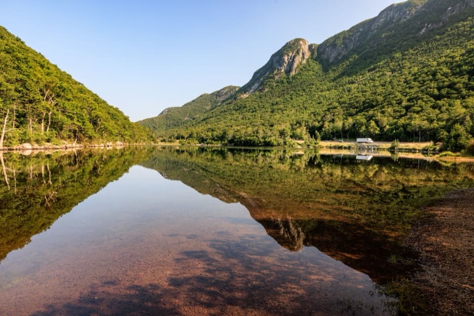
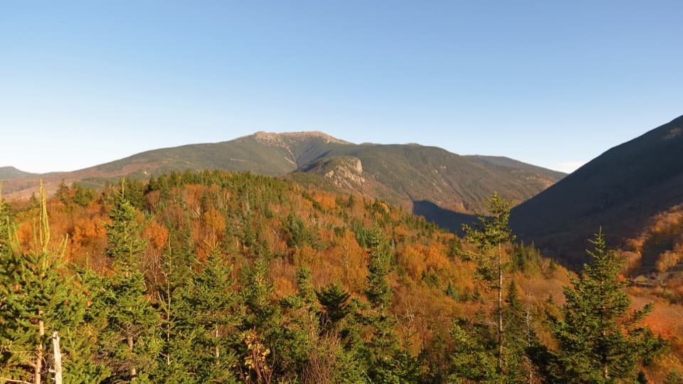
The viewThe payoff is the open look into Franconia Notch and toward Franconia Ridge.

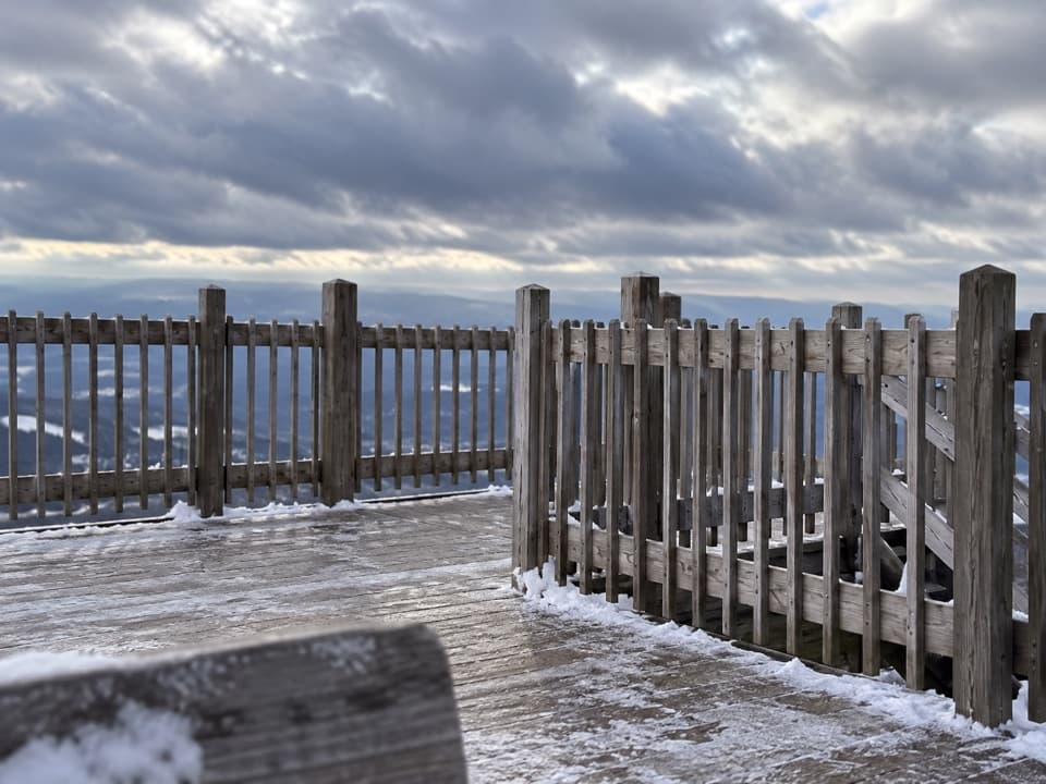
The payoff is the open look into Franconia Notch and toward Franconia Ridge. The summit observation tower and a coin-operated viewer give you a clear place to stop; the viewer sits among low balsam fir with the ridge beyond. Cloud can hide much of that panorama.

Reaching the startThis is a walk at the summit, not a valley-side trailhead.

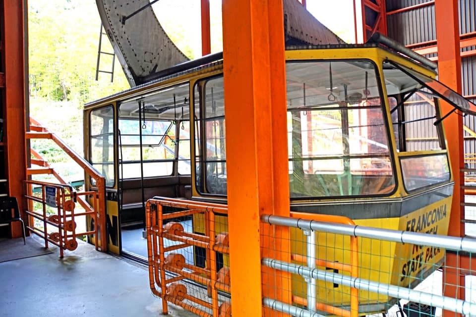
This is a walk at the summit, not a valley-side trailhead. When the tram is operating, the loop is a short add-on from the upper station. Reaching the summit on foot takes a separate, strenuous hike such as Kinsman Ridge or Hi-Cannon, and that approach is not included in the 0.4 miles. Cannon's 1980 tram carried more than nine million passengers before its last season in 2025. As of October 2026, published information did not confirm whether these short summit paths remain open to hikers during replacement work, so check with the mountain before making a trip specifically for this loop.

Exposure and petsThe Rim Trail passes beside exposed cliff edges, including an unguarded section; skip the loop…

The Rim Trail passes beside exposed cliff edges, including an unguarded section; skip the loop if heights are a problem. Franconia Notch State Park limits pets to marked dog walks near the Tramway and Flume lots, so pets are not allowed on this route.

Wildlife

Wildlife in Franconia Notch

All Franconia Notch wildlife maps

Sighting maps show where each species has been reported across Franconia Notch. Wildlife moves, so no sighting is guaranteed.

Keep exploring

Near Cannon Mountain Rim Trail Loop

See it all on the map

Trails that start nearby

Places near the trailhead

Parkwolf’s Franconia Notch ranking

Top-rated trails in Franconia Notch

All 29 trails
  1. 1Franconia Ridge Trail LoopChallenging · 8.1 mi
  2. 2Flume Gorge TrailModerate · 2 mi
  3. 3Artists Bluff and Bald Mountain LoopModerate · 1.3 mi
  4. 4Lonesome Lake TrailModerate · 3 mi
  5. 5Basin Cascade TrailModerate · 2 mi
  6. 6Mount Pemigewasset TrailModerate · 3.3 mi

Take Parkwolf to Franconia Notch.

The audio tour guide for the drive, plus offline maps, trails, and wildlife heatmaps for when the signal drops.

4.7 from 8,600+ ratings

Download Parkwolf on the App StoreGet Parkwolf on Google Play