Parking
Use the large dirt hiker lot off Route 18 across from the Cannon Peabody Base Area. Roadside parking and the Echo Lake Beach lot are not for hikers; Franconia Notch trailhead lots fill early.
#3 of 29 trails in Franconia Notch
Franconia Notch State Park, NH
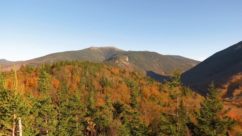
Echo Lake below, big peaks ahead, in a short two-viewpoint loop.
Overview
Map & elevation
Plan your hike

The highest, rockiest slopes around here are a summer buffet for grizzly bears.
Franconia Notch Tour Guide
Parkwolf is a GPS audio tour guide for Franconia Notch State Park. As you drive, it chimes in with what’s ahead: hidden gems, upcoming stops, history, geology, and wildlife, right through your car’s speakers.
See the Franconia Notch audio tourRecorded for this trailhead
Artists Bluff and Bald Mountain“You're nearing the trailhead for Artists Bluff and Bald Mountain, a good short hike if you're comfortable on steep rock and roots. Allow an hour to an hour and a half for the full loop.”
Plays as you drive up to this trailhead in the Parkwolf Franconia Notch Tour Guide.
More stories near here in the app
“Fantastic app with many points of information… It’s great to just turn on while you’re driving and it gives you an audio tour of the national Park. We love it!!!!”


Trail guide
Artists Bluff and Bald Mountain Loop is a 1.3-mile circuit from the large dirt hiker lot across Route 18 from the Peabody Base Area. It links two open-rock viewpoints, each with a different take on the Notch: Artists Bluff looks down to Echo Lake and across to Cannon Mountain, while Bald Mountain opens toward a broader sweep of the northern ranges. If you want a short hike with two big payoffs, this is a good use of an hour or two. Allow about one to one and a half hours. The distance sounds easy; the footing does not. Steep rock, roots, boulders and stone steps make this a moderate walk that needs sure footing.
The route starts on a lower forest path before climbing toward the ridge. Dirt and roots give way to rough rock and boulder steps; the climb is short, but it gains height quickly. Across the low ridge, the trail dips and rises rather than staying level. Roots and loose stones keep demanding attention on the way down, especially after rain, when the surface can turn slick. This is a real hill walk, not a smooth path to a viewpoint, and the roughly 1.3 miles includes the short out-and-back spur to Bald Mountain.
Artists Bluff is the most recognizable view on the loop: Echo Lake sits below the rocky ledge, Cannon Mountain’s ski slopes rise behind it, and I-93 threads through Franconia Notch. Look across the highway for Mount Lafayette and Eagle Cliff. It is a small area of open rock, so visitors can bunch up around the best edge, particularly during peak foliage weekends. For a picture that explains the place, frame Echo Lake in front with the highway and Cannon’s slopes behind it; a tight crop of the cliff loses the Notch that makes this view distinctive.
The loop’s other summit takes a short, steep spur over boulders and through a brief stand of pines before opening onto a bare rock dome. From there the view spreads farther across the mountain ridges to the north and west, with glimpses toward Vermont. The two stops are worth keeping together: Artists Bluff gives you the lake-and-highway view, while Bald Mountain feels more open and panoramic. Take time to look around from the rock rather than treating it as only a quick stop on the way down.
Wildlife
 66 sightingsBlack BearMost seen around 7 PMSighting map
 38 sightingsMooseMost seen around 6 AMSighting map
 19 sightingsWild TurkeyMost seen around 6 AMSighting map
 19 sightingsGreat Blue HeronMost seen around 5 PMSighting map
 13 sightingsTurkey VultureMost seen around noonSighting map
 23 sightingsRavenMost seen around 11 AMSighting map
Sighting maps show where each species has been reported across Franconia Notch. Wildlife moves, so no sighting is guaranteed.
Keep exploring
 ModerateBald Mountain Trail0.7 mi · 30 min · At the trailheadA short scramble to open rock and Franconia Notch views.
 ChallengingCannon Mountain via Kinsman Ridge Trail4.1 mi · 3.5 hr · 1.1 mi awayA hard climb earns a clear view across Franconia Ridge.
 ChallengingKinsman Ridge Trail15.8 mi · 12 hr · 1.1 mi awayA full day across Cannon, the Cannon Balls, and both Kinsmans.
 ChallengingMount Lafayette via Greenleaf Trail6.6 mi · 6.5 hr · 1.1 mi awayEagle Pass, Greenleaf Hut, and a hard climb to Lafayette.
 EasyPemi Trail4 mi · 2.5 hr · 1.3 mi awayA rough river trail connects Profile Lake with The Basin.
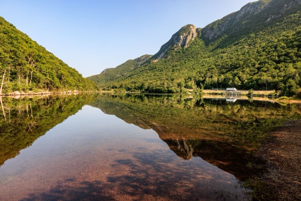 EasyProfile Lake via Pemi Trail1.3 mi · 45 min · 1.3 mi awayA short, rocky shore walk below Eagle CliffEasyCannon Mountain Rim Trail Loop0.4 mi · 45 min · 1.5 mi awayA short summit loop with Franconia Notch views and exposed ledges.
 ModerateFranconia Notch Recreation Path8.8 mi · 5.5 hr · 1.9 mi awayAn 8.8-mile path linking Franconia Notch’s lakes and landmarks.
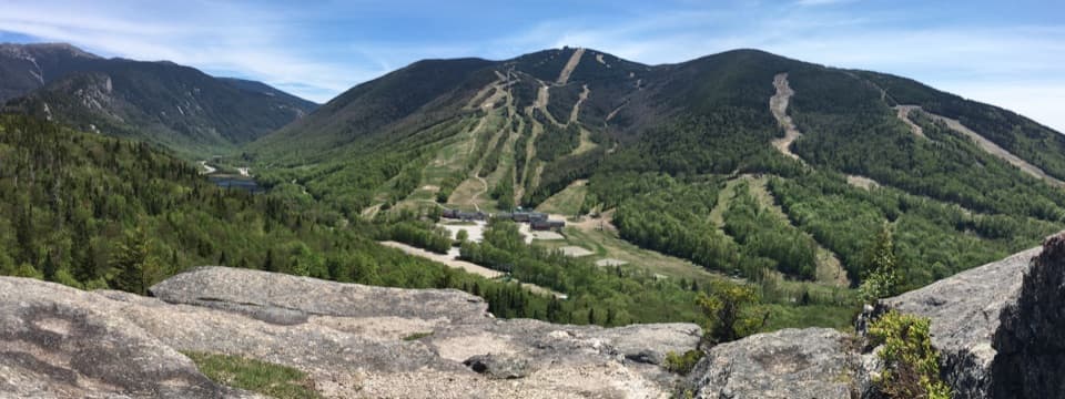 Sight · 0.2 mi awayCannon Mountain Ski AreaA steep, old-school hill that puts skiing ahead of frills.
 Restaurant · 0.2 mi awayCannonball PubPub food and a deck view of Cannon's ski runs.Sight · 0.2 mi awayBald MountainFranconia Notch and Cannon's ski runs spread beneath granite ledges.
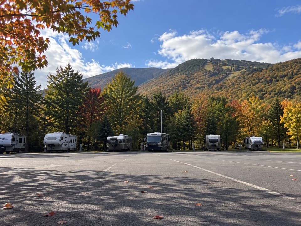 Campground · 0.3 mi awayCannon Mountain RV ParkSeven RV sites beside Echo Lake Beach, close to Franconia Notch.
 Sight · 0.3 mi awayArtists BluffA short, steep climb buys the Notch's best Echo Lake panorama.
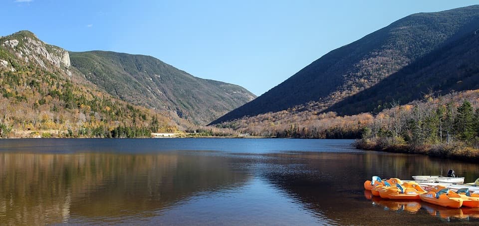 Beach · 0.4 mi awayEcho Lake BeachA mountain-framed swim beach with kayaks at the water’s edge.
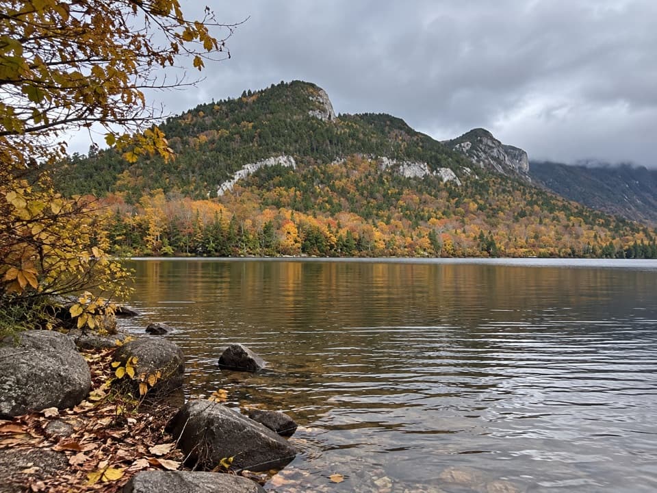 Sight · 0.7 mi awayEcho Lake Boat LaunchA public put-in for your own boat on Echo Lake.
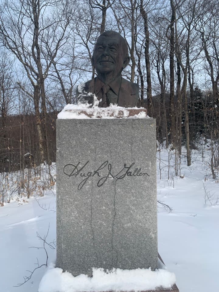 Sight · 0.9 mi awayGovernor Gallen MemorialA governor’s memorial, a brookside bridge, and Mount Lafayette beyond.
Parkwolf’s Franconia Notch ranking

The audio tour guide for the drive, plus offline maps, trails, and wildlife heatmaps for when the signal drops.