Parking
Use the Highline Trailhead north of Going-to-the-Sun Road at Logan Pass. Parking at the pass is limited and often fills; check current park access and shuttle arrangements.

Glacier National Park, MT
A long, exposed traverse earns a knockout view over the glacier basin.
Overview
The Highline Trail to Grinnell Glacier Overlook is a 15.1-mile out-and-back from Logan Pass. Follow the Highline north to the Garden Wall junction, climb the spur to the notch, then retrace your steps. Allow about nine hours and roughly 2,800 feet of total climbing. The first six-plus miles roll along the mountainside; the final spur packs nearly 1,000 feet of climbing into less than a mile. This is a hard, high, exposed day for hikers who are comfortable with heights. The overlook spur is optional if you want a shorter Highline outing.
 Parkwolf’s verdictIs this the full-day hike for you?
Map & elevation
Plan your hike

The highest, rockiest slopes around here are a summer buffet for grizzly bears.
Glacier Tour Guide
Parkwolf is a GPS audio tour guide for Glacier National Park. As you drive, it chimes in with what’s ahead: hidden gems, upcoming stops, history, geology, and wildlife, right through your car’s speakers.
See the Glacier audio tourRecorded for this trailhead
Logan Pass and Hidden Lake“You’re approaching Logan Pass, the highest point on Going-to-the-Sun Road. Stop for the alpine meadows and mountain views even if you’re not planning a long hike.”
Plays as you drive up to this trailhead in the Parkwolf Glacier Tour Guide.
More stories near here in the app
“Our first time to glacier and we used the audio portion for Going to the Sun Road. Wonderful information with perfect advice of what to see and do along the road.”


Trail guide
About a quarter-mile from Logan Pass, the Highline crosses a shelf cut into the Garden Wall. For roughly a third of a mile the tread is only six to eight feet wide, with a steep drop toward the road below; a fixed cable gives you a handhold. It is well maintained, but the exposure is real. If narrow ledges make you freeze, this section is a good reason to choose another hike.
After the ledge, the route stays high on open slopes beneath the Garden Wall. The views open west toward Mount Cannon, Mount Oberlin and Heavens Peak. Around 3.6 miles in, a switchback climb of about 275 feet brings you to Haystack Pass, a broad saddle with a look down the upper McDonald Creek Valley. The trail rises again beyond the pass, reaches its high point, then descends toward Granite Park. The Garden Wall turnoff is about seven miles from Logan Pass; the Granite Park Chalet sits another short way along the Highline.
The spur climbs more than 900 feet in less than a mile. It is steep, narrow and exposed, with loose footing in places, so take your time on the way up and especially on the descent. Hikers repeatedly single out this final climb as the toughest part. Trekking poles can help on the way back down, but they do not make the exposed sections feel any wider.
The trail ends on the narrow crest of the Garden Wall. The Salamander lies below in the foreground, with Upper Grinnell Lake and Grinnell Glacier beyond it; Mount Gould, Allen Mountain and Angel Wing frame the basin. For a photo, keep a bit of the near ridge or The Salamander in the frame so the lake and glacier do not turn into a generic mountain view. Mountain goats and bighorn sheep are sometimes seen on the slopes; give wildlife plenty of room.
The Garden Wall is an arête, a sharp ridge left between valleys carved by glaciers. This one separates Granite Park from the Grinnell Glacier drainage, so you get a rare view into both sides of the divide. George Bird Grinnell visited the area in 1885 and spent the following years campaigning for its protection; the glacier and overlook carry his name.
Wildlife
 404 sightingsGrizzly BearMost seen around 6 AMSighting map
 11 sightingsWolverineMost seen around 8 PMSighting map
 1,173 sightingsMountain GoatMost seen around 6 AMSighting map
 1,000 sightingsBighorn SheepMost seen around 6 AMSighting map
 395 sightingsMooseMost seen around 6 AMSighting map
 506 sightingsBlack BearMost seen around 8 PMSighting map
Sighting maps show where each species has been reported across Glacier. Wildlife moves, so no sighting is guaranteed.
Keep exploring
 ChallengingHighline Trail11.8 mi · 8 hr · At the trailheadA Garden Wall ledge walk with a long, steep finish.
 ModerateHidden Lake Overlook Trail2.6 mi · 2.5 hr · 0.1 mi awayBoardwalk and switchbacks open onto a lake beneath Bearhat Mountain.
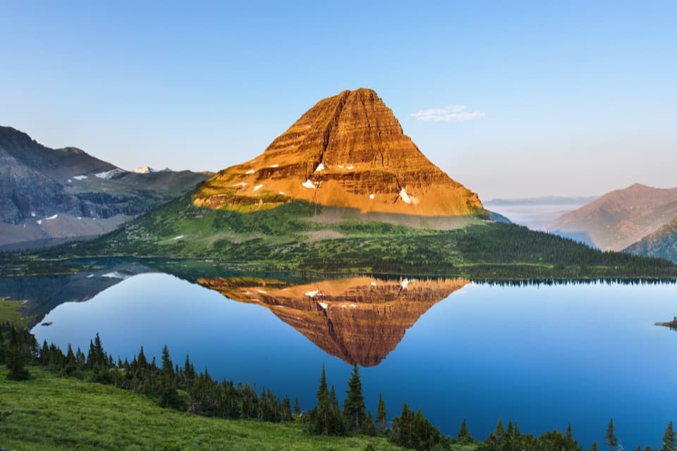 ChallengingHidden Lake Trail5.4 mi · 3.5 hr · 0.1 mi awayGo past the overlook only if you’re ready for a steep return.
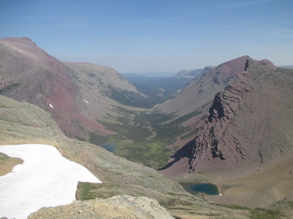 ChallengingSiyeh Pass Trail10 mi · 7 hr · 2.3 mi awayA steep pass crossing rewarded with Sexton Glacier and Baring Creek.
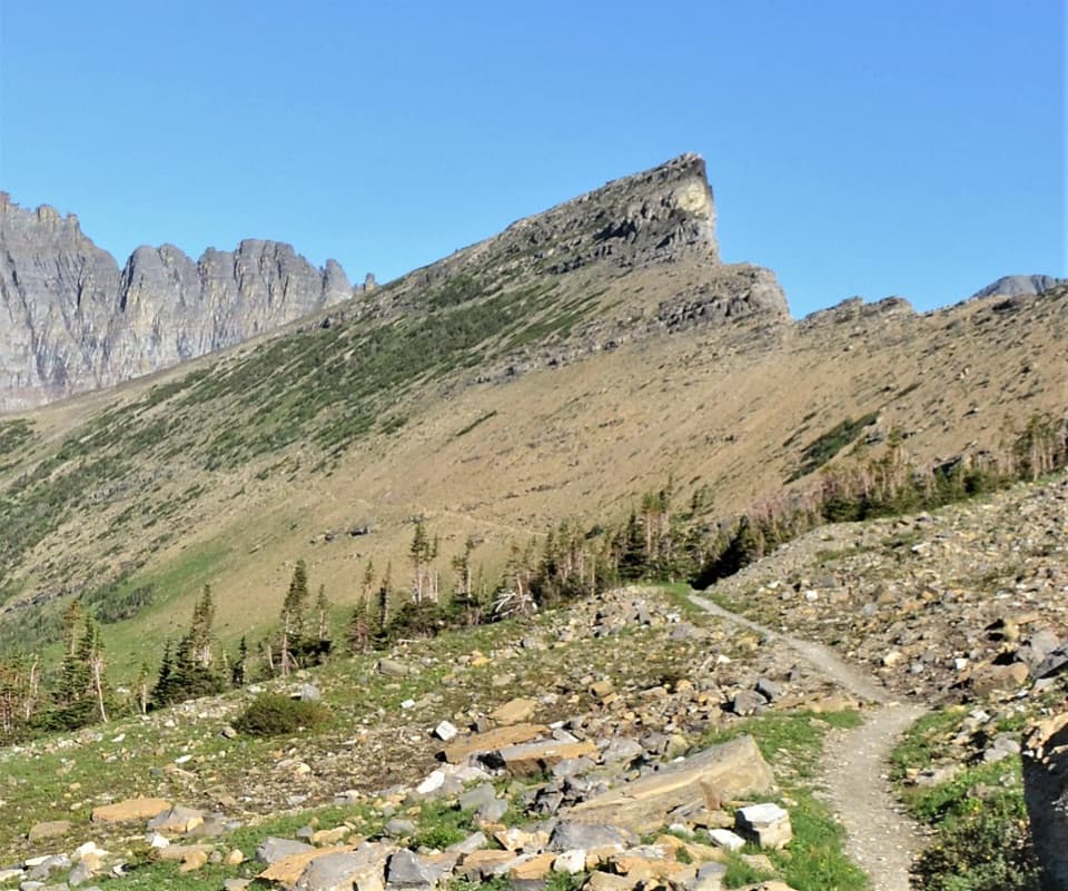 ChallengingPiegan Pass Trail9 mi · 6 hr · 2.3 mi awayA high saddle, glacier views, and a vanished railway bell.
 ChallengingFlorence Falls Trail9.8 mi · 4.5 hr · 3.3 mi awayA long out-and-back to Florence Falls through creek and pond country
 ChallengingGunsight Pass Trail to Lake McDonald Lodge19.5 mi · 14 hr · 3.3 mi awayA demanding east-to-west traverse over two high alpine passes.
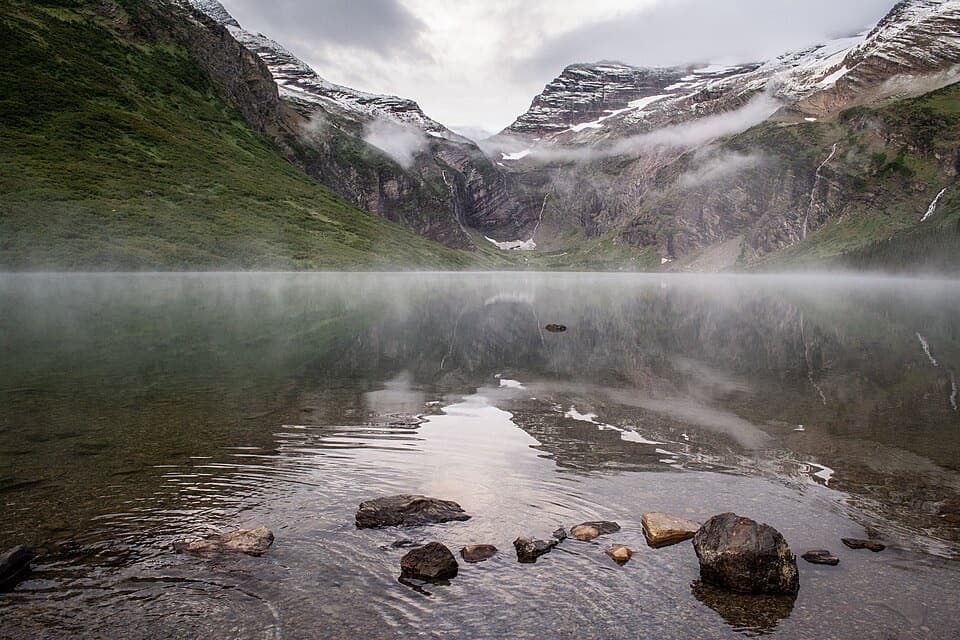 ChallengingGunsight Lake Trail12.9 mi · 8.5 hr · 3.3 mi awayA long valley walk to Gunsight Lake’s rocky shore
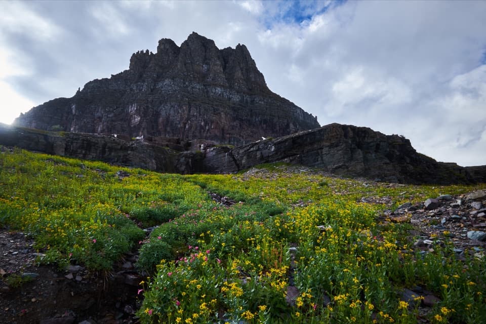 Sight · 0.1 mi awayLogan PassThe high point of the road is also a great trailhead.
 Sight · 0.4 mi awayOberlin BendThe last bend before Logan Pass opens onto a sweeping valley view.
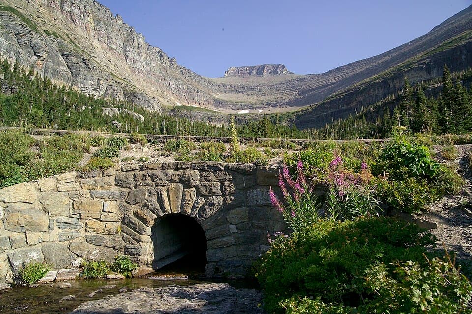 Sight · 0.7 mi awayLunch CreekA rock-step cascade beneath Pollock Mountain, framed by a stone bridge.
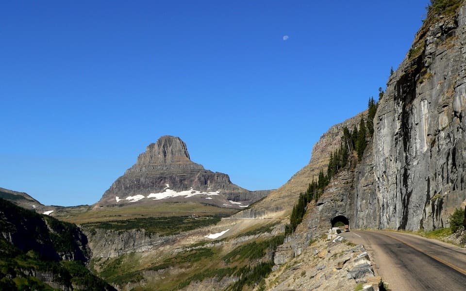 Sight · 1 mi awayEast TunnelA 408-foot cut through Piegan Mountain, right on the road.
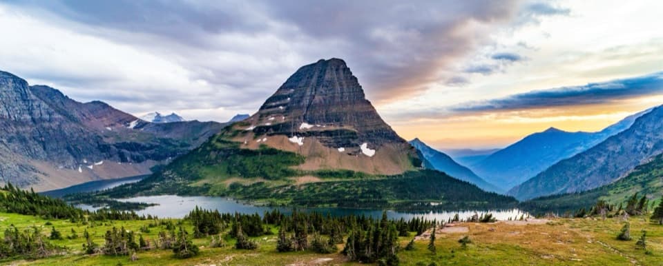 Sight · 1.3 mi awayHidden Lake OverlookAn exposed climb earns the park's classic view of Hidden Lake.
 Sight · 1.4 mi awayTriple ArchesThree masonry arches carry Going-to-the-Sun Road across a mountainside.
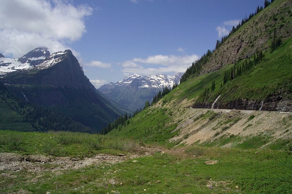 Scenic pullout · 2.1 mi awayBig BendA sweeping bend with Mount Cannon, Oberlin, and Heaven's Peak in view.
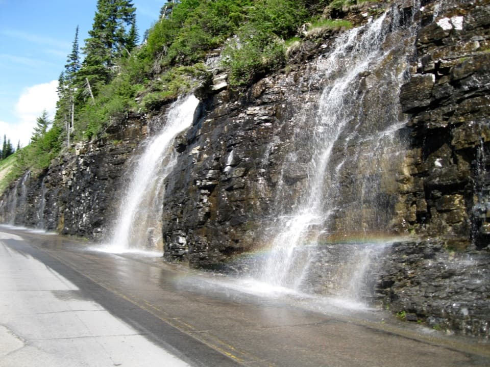 Sight · 2.2 mi awayWeeping WallA snowmelt curtain turns the road into a waterfall pass.
Parkwolf’s Glacier ranking
The audio tour guide for the drive, plus offline maps, trails, and wildlife heatmaps for when the signal drops.



