Parking
Apikuni parking area on Many Glacier Road, about 1.1 miles east of Many Glacier Hotel; the small lot is estimated at roughly a dozen cars.

Glacier National Park, MT
A steep short climb to a two-tier waterfall above Cracker Flats
Overview
Map & elevation
Plan your hike

The highest, rockiest slopes around here are a summer buffet for grizzly bears.
Glacier Tour Guide
Parkwolf is a GPS audio tour guide for Glacier National Park. As you drive, it chimes in with what’s ahead: hidden gems, upcoming stops, history, geology, and wildlife, right through your car’s speakers.
See the Glacier audio tourRecorded for this trailhead
Apikuni Falls Trailhead“The Apikuni Falls trailhead is coming up, for a short but steep hike to a two-tier waterfall. Allow around an hour and a half for the one point seven mile round trip, with roughly six hundred and fifty feet of climbing.”
Plays as you drive up to this trailhead in the Parkwolf Glacier Tour Guide.
More stories near here in the app
“Our first time to glacier and we used the audio portion for Going to the Sun Road. Wonderful information with perfect advice of what to see and do along the road.”


Trail guide
The full out-and-back is about 1.7 miles round trip along Apikuni Creek to a two-tier waterfall in Many Glacier. Allow around 1½ hours, longer if you linger at the falls. The route gains about 650 feet and climbs steeply almost all the way, so this is a short hike by distance, not an easy stroll. I'd choose it if you want a close look at a dramatic waterfall and don't mind sustained uphill. The final scramble to the base is optional; the view from above is already worth the climb.
The path starts in open ground near the road, then follows Apikuni Creek through forest. About 0.2 mile in, it passes a young aspen grove. Soon after, the grade steepens through pine and patches of thimbleberry. Short side paths open views toward Mount Altyn and down across Cracker Flats. Higher up, the trail crosses a rocky mountainside, and the terrain makes the climb feel bigger than the mileage suggests.
The falls come into earshot before a high view opens over the water; the trail then continues toward the rocky base. Apikuni Falls drops in two tiers, with smaller cascades below. The last approach involves a short scramble for those who want to get close. You can stop at the upper view instead. Rocks near the water can be wet, and the slope drops away beside the falls. For a photo, keep some of the rocky path in the foreground with the waterfall beyond it, so the climb and the scale of the cliff read together.
Cracker Flats sits beneath this route. A small mining town called Altyn once stood near the head of Sherburne Lake, and the mountain above the falls took its name from the town. The town itself was named for Dave Greenwood Altyn, a backer of the Cracker Lake Mine.
Start at the Apikuni parking area, about 1.1 miles east of Many Glacier Hotel. The small lot is estimated to hold roughly a dozen cars. Pets are not allowed on Glacier National Park trails.
Wildlife
 404 sightingsGrizzly BearMost seen around 6 AMSighting map
 11 sightingsWolverineMost seen around 8 PMSighting map
 1,173 sightingsMountain GoatMost seen around 6 AMSighting map
 1,000 sightingsBighorn SheepMost seen around 6 AMSighting map
 395 sightingsMooseMost seen around 6 AMSighting map
 506 sightingsBlack BearMost seen around 8 PMSighting map
Sighting maps show where each species has been reported across Glacier. Wildlife moves, so no sighting is guaranteed.
Keep exploring
 ChallengingPoia Lake Trail12.8 mi · 7 hr · At the trailheadA ridge climb ends at Poia Lake tucked into a rocky basin.ChallengingRed Gap Pass Trail24.3 mi · 16 hr · At the trailheadRed rock and a high pass, earned over a very long hike
 ChallengingNorth Circle Loop54.6 mi · 1.7 days · 1.2 mi awaySix-day loop over Ptarmigan Tunnel and Stoney Indian Pass
 ModerateCracker Lake Trail12.8 mi · 6.5 hr · 1.2 mi awayA long Many Glacier climb to a turquoise lake beneath sheer walls.
 ChallengingGrinnell Glacier Trail10 mi · 6 hr · 1.7 mi awayA hard climb to an alpine lake beneath a shrinking glacier.
 EasySwiftcurrent Lake Trail2.6 mi · 1.5 hr · 1.7 mi awayAn easy lake loop with mountain and historic lodge views.
 EasyLake Josephine Loop Trail3.4 mi · 2 hr · 1.8 mi awayA mellow lakeside loop, with a beach detour facing Grinnell Falls
 ModerateIceberg Lake Trail9.6 mi · 6 hr · 2 mi awayA long valley walk ends at a turquoise lake beneath steep cliffs.
 Sight · 0.7 mi awayApikuni FallsA steep climb to a waterfall beneath Mount Altyn.
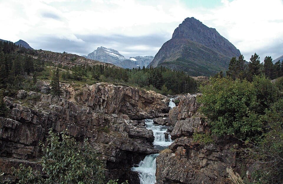 Sight · 1 mi awaySwiftcurrent FallsA tiered cascade with a tricky close approach and Mount Grinnell behind.
 Lodging · 1.2 mi awayMany Glacier HotelHistoric hotel with a double-helix lobby stair beside Swiftcurrent Lake.
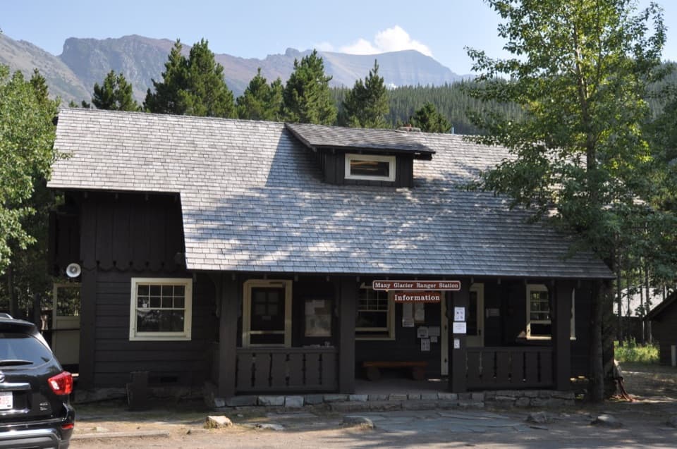 Ranger station · 1.8 mi awayMany Glacier Ranger StationGet local help before heading into Glacier’s backcountry.
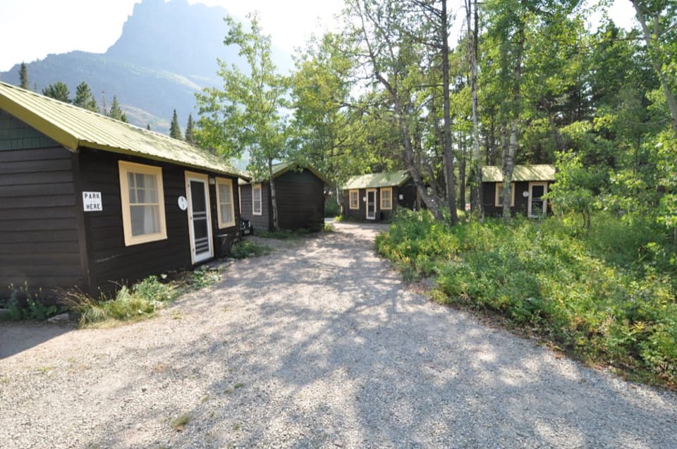 Lodging · 2 mi awaySwiftcurrent Motor Inn and CabinsCabins, motel rooms, meals, and supplies close to the hikes.
 Campground · 2.1 mi awayMany Glacier CampgroundA shaded base for east-side hikes, with the inn close by.
 Entrance station · 2.8 mi awayMany Glacier Entrance StationThe entry to Many Glacier’s meeting of four major valleys.
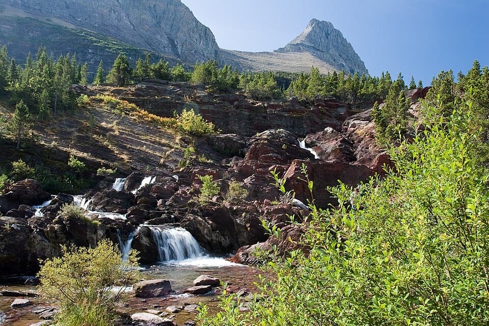 Sight · 3.6 mi awayRedrock FallsA shaded walk opens onto red-rock cascades and a mountain lake.
Parkwolf’s Glacier ranking

The audio tour guide for the drive, plus offline maps, trails, and wildlife heatmaps for when the signal drops.



