Parking
Start at the south end of Many Glacier Hotel’s parking lot, the listed trailhead. Glacier roads have seasonal schedules; check current conditions before driving in.

Glacier National Park, MT
A long Many Glacier climb to a turquoise lake beneath sheer walls.
Overview
The lake was once called Blue Lake. An old place name story dates to 1897, when prospectors L. S. Emmons and Hank Norris were following a mineral lead through the mountains. They stopped here for lunch and left crackers and cheese beneath the rocks. The lead became known as the Cracker Lead, and the name carried over to the lake.
 Parkwolf’s verdictWhy it’s called Cracker Lake
Map & elevation
Plan your hike

The highest, rockiest slopes around here are a summer buffet for grizzly bears.
Glacier Tour Guide
Parkwolf is a GPS audio tour guide for Glacier National Park. As you drive, it chimes in with what’s ahead: hidden gems, upcoming stops, history, geology, and wildlife, right through your car’s speakers.
See the Glacier audio tourRecorded for this trailhead
Many Glacier Hotel“You’re nearing Many Glacier Hotel on Swiftcurrent Lake. You don’t have to be staying overnight to enjoy the tall timber lobby and lakefront.”
Plays as you drive up to this trailhead in the Parkwolf Glacier Tour Guide.
More stories near here in the app
“Our first time to glacier and we used the audio portion for Going to the Sun Road. Wonderful information with perfect advice of what to see and do along the road.”


Trail guide
Cracker Lake is a 12.8-mile out-and-back from the south end of Many Glacier Hotel’s parking lot to the lake and campground. It climbs about 1,400 feet and usually takes 6 to 7 hours with time at the shore. This is a long walk for one destination, but the reward is a vivid turquoise lake under a wall of steep, snow marked peaks. If you want a short lake stroll, pick another trail; this one uses most of a day.
At the first junction, stay left for Cracker Lake rather than following Piegan Pass. The path runs mostly level beside Lake Sherburne toward Canyon Creek. Around 1.5 miles in, the Cracker Flats Horse Loop branches off; keep right on the main trail. The loop joins again a little later, where the long climb starts. That easy first stretch can make the mileage feel deceptively gentle, so save a little energy for what follows.
Most of the climbing comes over the last 4.6 miles, on a steady trail with switchbacks. Shaded parts of the climb can hold snow later into the season, depending on the winter. Near the lake, the trail crosses to the east side of Canyon Creek; that’s a useful sign you’re nearing the end. Short paths branch down toward the water from the campground area.
A small rise opens onto milky turquoise water, green slopes and a broad wall of gray rock with snow tucked into its ledges. Mount Siyeh rises almost vertically about 4,200 feet above the lake, which gives the basin its dramatic scale. Walk down toward the shore and put the water in front of the steep wall for the clearest view of what makes this destination special.
The trailhead is at the south end of the Many Glacier Hotel lot. Glacier’s roads have seasonal schedules, so check the park’s road conditions before you drive in. Dogs aren’t allowed on park trails. The return follows the same corridor, so the 6.4 miles each way includes both the walk in and the walk back.
Wildlife
 404 sightingsGrizzly BearMost seen around 6 AMSighting map
 11 sightingsWolverineMost seen around 8 PMSighting map
 1,173 sightingsMountain GoatMost seen around 6 AMSighting map
 1,000 sightingsBighorn SheepMost seen around 6 AMSighting map
 395 sightingsMooseMost seen around 6 AMSighting map
 506 sightingsBlack BearMost seen around 8 PMSighting map
Sighting maps show where each species has been reported across Glacier. Wildlife moves, so no sighting is guaranteed.
Keep exploring
 ChallengingNorth Circle Loop54.6 mi · 1.7 days · 0.1 mi awaySix-day loop over Ptarmigan Tunnel and Stoney Indian Pass
 ChallengingGrinnell Glacier Trail10 mi · 6 hr · 0.6 mi awayA hard climb to an alpine lake beneath a shrinking glacier.
 EasySwiftcurrent Lake Trail2.6 mi · 1.5 hr · 0.6 mi awayAn easy lake loop with mountain and historic lodge views.
 EasyLake Josephine Loop Trail3.4 mi · 2 hr · 0.6 mi awayA mellow lakeside loop, with a beach detour facing Grinnell Falls
 ModerateIceberg Lake Trail9.6 mi · 6 hr · 1 mi awayA long valley walk ends at a turquoise lake beneath steep cliffs.
 ChallengingPtarmigan Tunnel Trail10.6 mi · 6 hr · 1 mi awayA hard climb to the tunnel and its north-side Elizabeth Lake view.
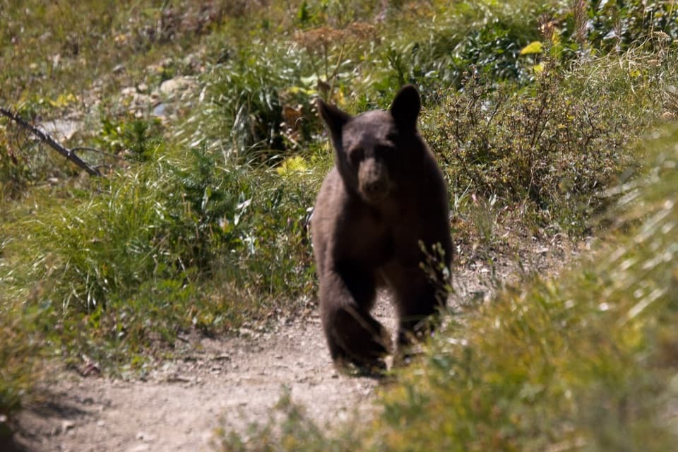 ChallengingPtarmigan Lake Trail8.6 mi · 5.5 hr · 1 mi awayA steep climb to a lake beneath a massive glacial wall.
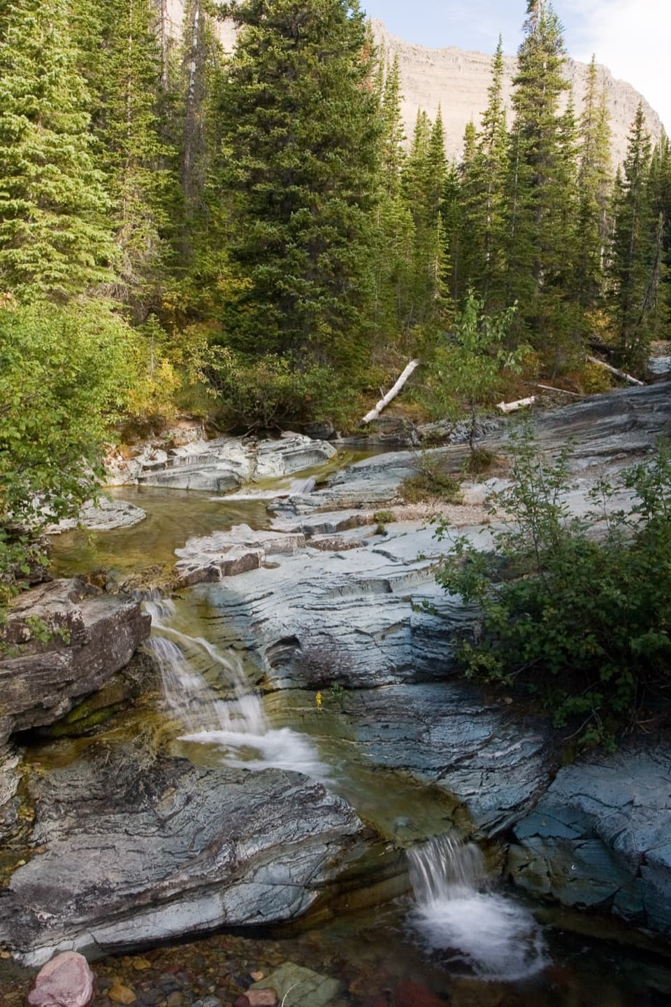 ModeratePtarmigan Falls Trail5.4 mi · 3.5 hr · 1 mi awayA forested climb to a partly screened waterfall and big peaks.
 Lodging · 0.1 mi awayMany Glacier HotelHistoric hotel with a double-helix lobby stair beside Swiftcurrent Lake.
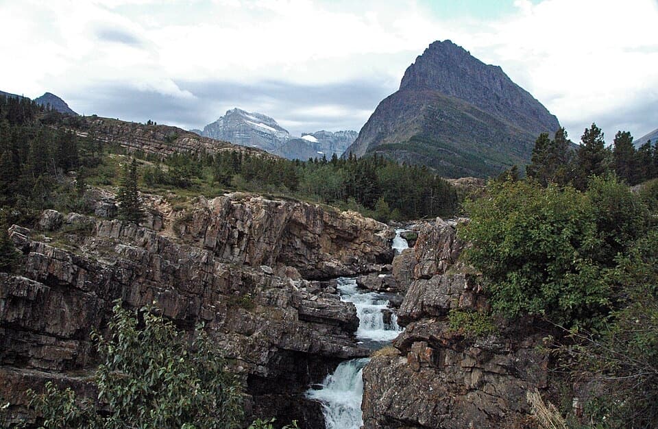 Sight · 0.3 mi awaySwiftcurrent FallsA tiered cascade with a tricky close approach and Mount Grinnell behind.
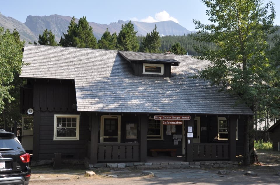 Ranger station · 0.8 mi awayMany Glacier Ranger StationGet local help before heading into Glacier’s backcountry.
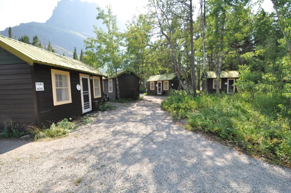 Lodging · 1 mi awaySwiftcurrent Motor Inn and CabinsCabins, motel rooms, meals, and supplies close to the hikes.
 Campground · 1 mi awayMany Glacier CampgroundA shaded base for east-side hikes, with the inn close by.
 Sight · 1.4 mi awayApikuni FallsA steep climb to a waterfall beneath Mount Altyn.
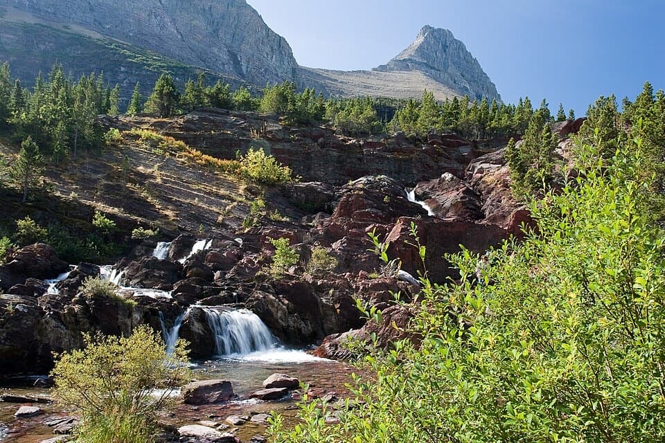 Sight · 2.5 mi awayRedrock FallsA shaded walk opens onto red-rock cascades and a mountain lake.
 Sight · 3 mi awayGrinnell LakeTurquoise water in a mountain basin, with a boat shortcut.
Parkwolf’s Glacier ranking
The audio tour guide for the drive, plus offline maps, trails, and wildlife heatmaps for when the signal drops.



