North Circle Loop in Glacier National Park

Glacier National Park, MT

North Circle Loop

Six-day loop over Ptarmigan Tunnel and Stoney Indian Pass

Length
54.6mi
Time
1.7days
Elev. change
2,503ft
Difficulty
Challenging
  • No dogs
  • High point 7,251 ft
  • #39 of 157 in Glacier

Hear the audio tour

Iceberg Lake Trailhead

Overview

About North Circle Loop

Why go

  • Links Ptarmigan Tunnel, Stoney Indian Pass and Highline in one traverse
  • Five nights of designated backcountry camps anchor a six-day route

Heads up

  • A six-day commitment with about 12,000 feet of climbing
  • The start and finish are separate access points

Map & elevation

The route

Loading the Glacier map
Full map
Elevation4,747–7,251 ft
TrailheadMany Glacier Hotel Trailhead48.79671, -113.65687
Keep this map with you offline in the Parkwolf app

Plan your hike

Before you go

Parking

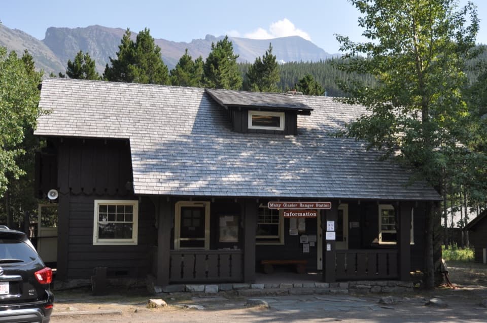
Begin at the Many Glacier Hotel trail access. This stored itinerary uses the lake-area connecting paths to reach the Ptarmigan Tunnel route, and exits at Swiftcurrent Pass Trailhead. Plan parking and a local walk or vehicle transfer around the separate start and finish.

Best time to go

Glacier's high routes change quickly with snow, runoff and bridge work. The Ptarmigan Tunnel usually opens around mid-July and closes by late September; snow can return in September, while early-season water crossings can be deep, swift and cold. Seasonal bridges are generally removed by late September. Check current NPS trail and campground status before travel, especially for Ptarmigan Tunnel, the Cosley outlet crossing, Ahern Drift and the camps on your permit. These are recurring patterns, not a statement about today's conditions.

Safety

Overnight camping requires an NPS wilderness use permit with your assigned campground itinerary; carry approved bear-resistant food storage. Early or late season brings high-pass snow and cold, swift water crossings, and Ptarmigan Tunnel has a short summer access window. Check current NPS trail and campground status before departure. Pets are prohibited on park trails and in the backcountry.

1 active Glacier alert

  • ClosureTwo Medicine Campground closed for 2026 constructionTwo Medicine Campground is closed throughout 2026 because of construction in the Two Medicine developed area.Official details
Glacier alerts
A park ranger sits on a dash-mounted phone, talking, as Parkwolf’s Tour Guide plays “Army Cutworm Moths: A Grizzly Bear Buffet” on Grand Loop Road below Dunraven Pass in Yellowstone
Parkwolf Tour GuideThe highest, rockiest slopes around here are a summer buffet for grizzly bears.

Glacier Tour Guide

Your drive to North Circle Loop, narrated.

Parkwolf is a GPS audio tour guide for Glacier National Park. As you drive, it chimes in with what’s ahead: hidden gems, upcoming stops, history, geology, and wildlife, right through your car’s speakers.

See the Glacier audio tour

Recorded for this trailhead

Iceberg Lake Trailhead
0:00 / 0:26
“You’re nearing Iceberg-Ptarmigan Trailhead, where I’d choose Iceberg Lake for a full day on foot.”

Plays as you drive up to this trailhead in the Parkwolf Glacier Tour Guide.

More stories near here in the app

  • Many Glacier Hotel
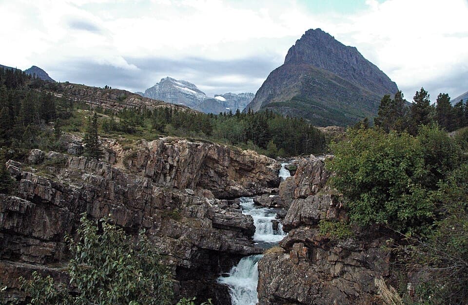
  • Swiftcurrent Falls
  • Grinnell Glacier Trailhead
  • Swiftcurrent and Redrock Falls
  • 204 audio storiesacross Glacier’s roads, triggered by GPS as you drive
  • Wildlife heatmapsfor Grizzly Bear, Wolverine, Mountain Goat, and 13 more
  • Works offlinemaps, 157 trails, 91 places, and audio download before you lose signal
  • CarPlay readysimple controls built for the drive
★★★★★
“Our first time to glacier and we used the audio portion for Going to the Sun Road. Wonderful information with perfect advice of what to see and do along the road.”
PaisleyParkFanApp Store review
Download Parkwolf on the App StoreGet Parkwolf on Google Play

4.7 from 8,600+ ratings

Trail guide

Hiking North Circle Loop

The route and its shapeNorth Circle Loop is a six-day backcountry itinerary through Glacier's northern country,…

North Circle Loop is a six-day backcountry itinerary through Glacier's northern country, linking Ptarmigan Tunnel, the Belly River lakes, Stoney Indian Pass, Waterton Valley, Highline and Swiftcurrent Pass. The mapped trail line measures about 55 miles, with roughly 12,000 feet of climbing in the commonly described itinerary. It is called a loop, but this version starts at the Many Glacier Hotel trail access and finishes at Swiftcurrent Pass Trailhead, about a mile away. Arrange a vehicle transfer between the access points or plan a separate local walk; the map line here stops at the trailheads. Other itinerary totals near 51–52.6 miles reflect different camp access and rounding, so follow the route assigned by your permit rather than treating the name as one fixed GPX.

A committed, permit-based tripAllow six hiking days and five nights at designated backcountry campgrounds.

Allow six hiking days and five nights at designated backcountry campgrounds. The usual day legs range from roughly 6 to 11 miles, and the repeated climbs and descents make mileage a poor stand-alone measure of effort. Overnight camping requires a wilderness use permit with an assigned campground itinerary. Carry the required bear-resistant food storage and plan your camps before setting out; you cannot simply stop at any convenient lake. Difficulty is exceptional because of the length, accumulated climbing, remote setting, high passes and seasonal hazards, even though most of the route follows established trails.

Ptarmigan Tunnel and the Belly RiverFrom Many Glacier, the trail climbs steadily toward Ptarmigan Tunnel, then drops to Elizabeth…

From Many Glacier, the trail climbs steadily toward Ptarmigan Tunnel, then drops to Elizabeth Lake Foot. The next day turns north through the broad Belly River country, passing Cosley and Glenns Lakes before reaching Mokowanis Lake. The route moves from a sustained climb and high pass into long lake-and-valley walking. At Cosley Lake's outlet, the mapped route crosses the Mokowanis River; an older trip account describes a cable at the ford, but water level, footing and any crossing aid can change. Do not assume it is an easy crossing in early season.

Stoney Indian Pass and Fifty MountainFrom Mokowanis, a shorter but climbing day reaches Stoney Indian Lake.

From Mokowanis, a shorter but climbing day reaches Stoney Indian Lake. The route then goes over Stoney Indian Pass and drops into Waterton Valley before climbing back toward the Continental Divide and Fifty Mountain. The view from Stoney Indian Pass down to Stoney Indian Lake is the trip's signature composition: a long blue lake sits beneath steep, layered mountain walls. If you stop for a photo, keep your footing on the rocky tread and leave room for other hikers. The Sue Lake overlook and other nearby spurs are optional and are not part of the mapped line.

Highline to SwiftcurrentFrom Fifty Mountain, the route follows about 11 miles of Highline toward Granite Park, with…

From Fifty Mountain, the route follows about 11 miles of Highline toward Granite Park, with broad west-facing views along the Divide. This exposed high-country stretch is a highlight, but lingering snow can cover the path near Ahern Pass and make the crossing consequential. The final day climbs over Swiftcurrent Pass and descends to the Swiftcurrent access area. Swiftcurrent Mountain is an optional side trip, not included here. The western descent is still a long backcountry day, so keep enough time and energy for the exit.

Wildlife

Wildlife in Glacier

All Glacier wildlife maps

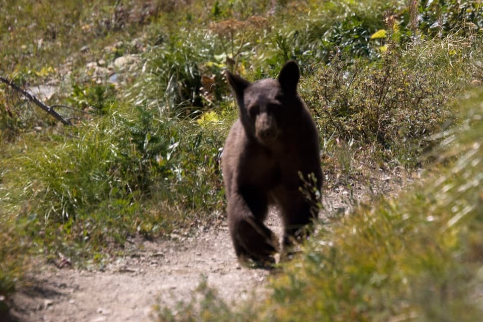
Sighting maps show where each species has been reported across Glacier. Wildlife moves, so no sighting is guaranteed.

Keep exploring

Near North Circle Loop

See it all on the map

Trails that start nearby

Places near the trailhead

Parkwolf’s Glacier ranking

Top-rated trails in Glacier

All 157 trails
  1. 1Highline TrailChallenging · 11.8 mi
  2. 2Grinnell Glacier TrailChallenging · 10 mi
  3. 3Iceberg Lake TrailModerate · 9.6 mi
  4. 4Hidden Lake Overlook TrailModerate · 2.6 mi
  5. 5Avalanche Lake TrailModerate · 5 mi
  6. 6Trail of the CedarsEasy · 0.9 mi

Take Parkwolf to Glacier.

The audio tour guide for the drive, plus offline maps, trails, and wildlife heatmaps for when the signal drops.

4.7 from 8,600+ ratings

Download Parkwolf on the App StoreGet Parkwolf on Google Play