Moderate

Belly River Trail

Big-valley meadows to lakes with gentle miles and real solitude
Belly River Trail, Glacier National Park
Distance12.2 mi
Typical time4.7 hr
DifficultyModerate
PetsNot allowed

Overview

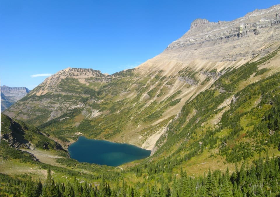
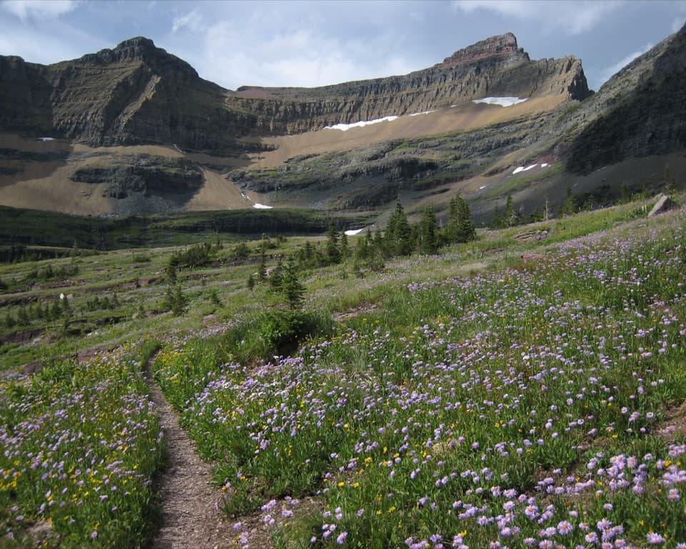
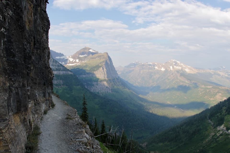
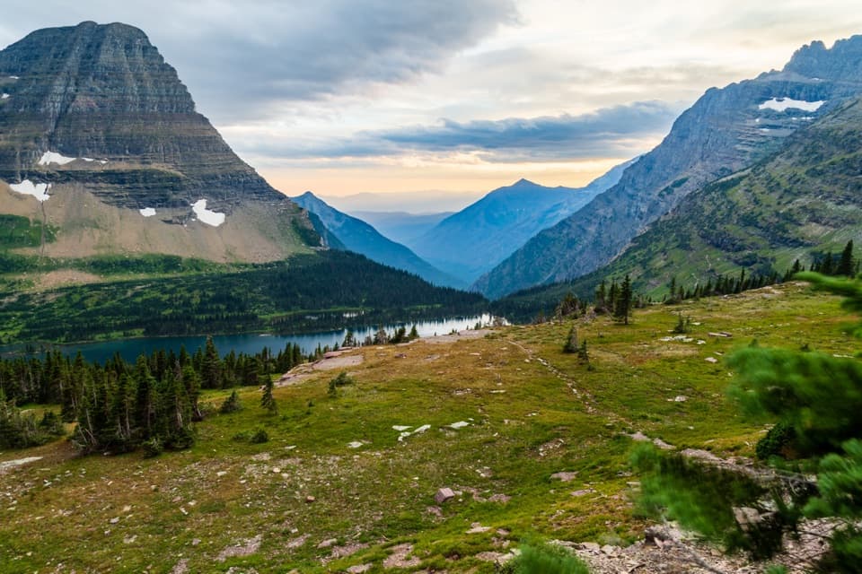
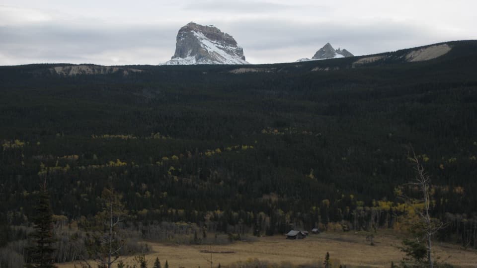
The Belly River Trail drops from the Chief Mountain area into one of Glacier’s lowest, broadest valleys—a long, scenic corridor of forest, aspen-fringed meadows, big lakes, and looming walls. Expect an immediate descent through lodgepole pine before the terrain opens to sweeping valley views, including Sentinel Mountain and Bear Mountain to the west, and frequent glimpses of Chief Mountain. Wildlife habitat here is excellent; this is prime country for grizzly bear, wolf, elk, deer, and moose.

Distance and Route Options

For a classic day out, hike to the historic Belly River Ranger Station: roughly 12.2 miles round trip (about 6.1 miles one way) with around 915 feet of total gain. Another popular target is the long suspension bridge over the Belly River just beyond Gable Creek—about 15.1 miles round trip if you include the short spur. Backpackers often continue deeper to Elizabeth Lake (~9.5 miles one way) and even Helen Lake (~13.6 miles one way), with gentle grades that let you cover miles without much climbing. This valley can also link to the Ptarmigan Tunnel Trail toward Many Glacier for a longer traverse.

What You’ll See

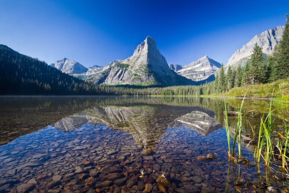
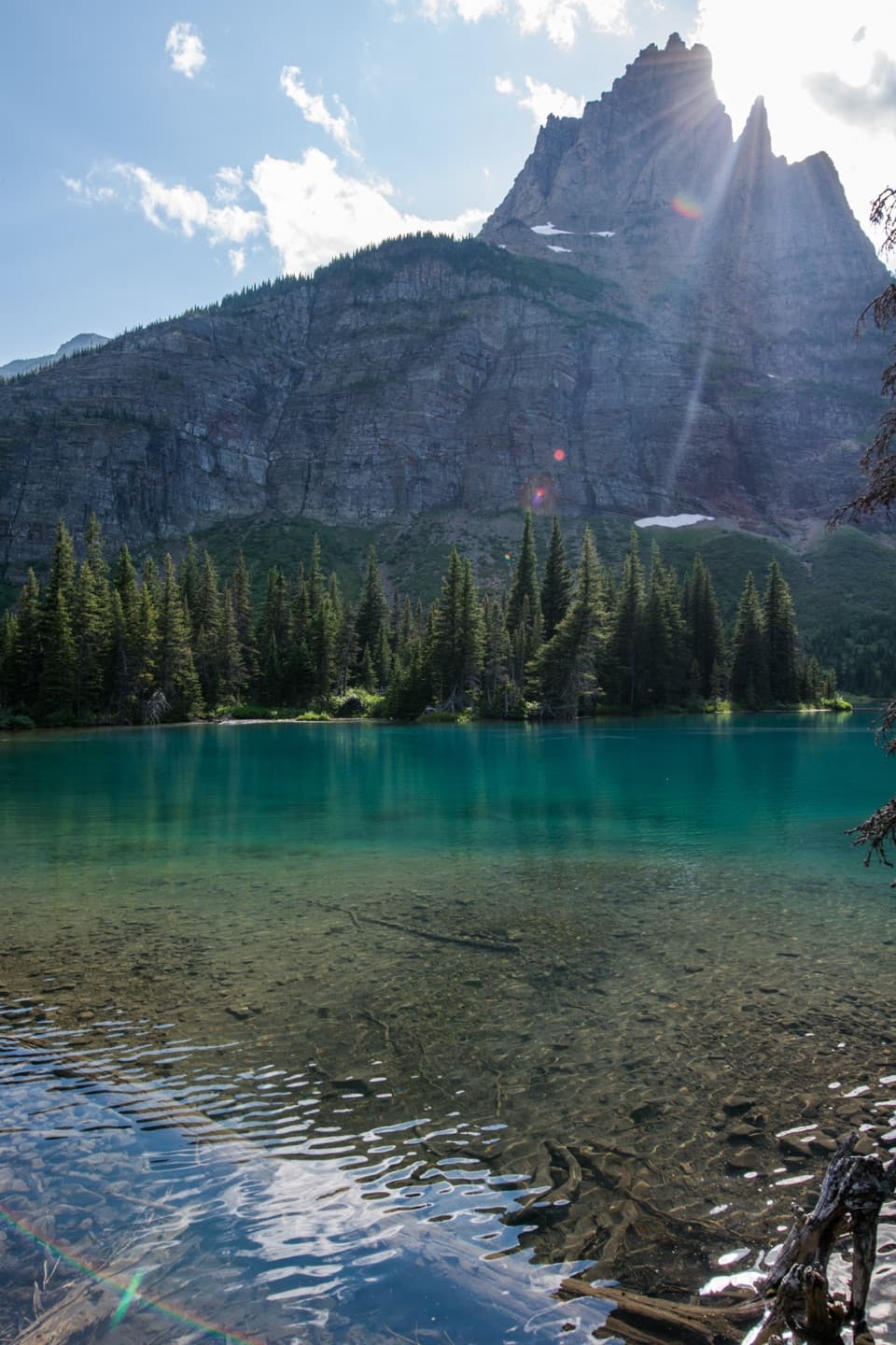
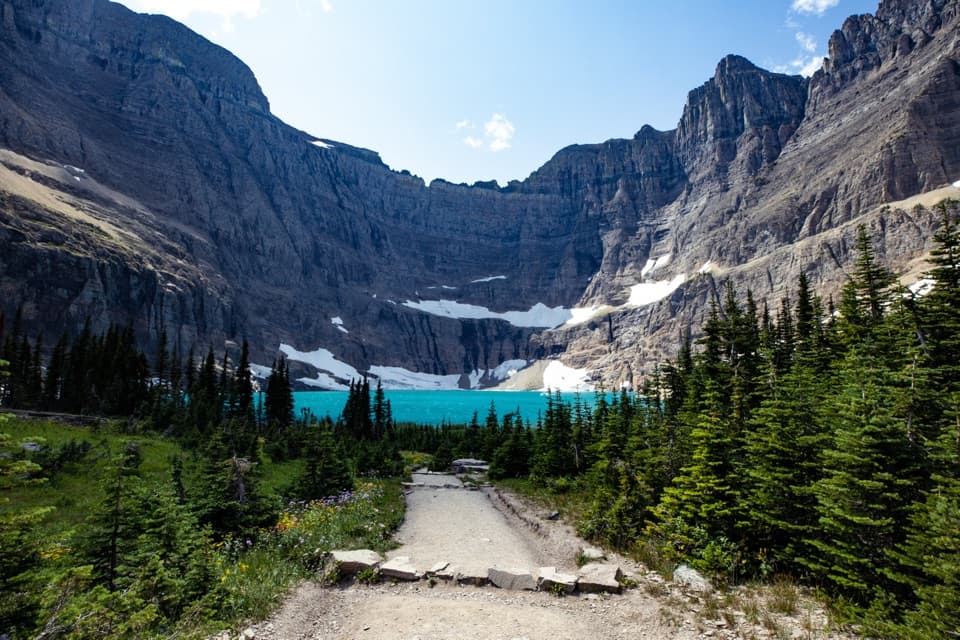
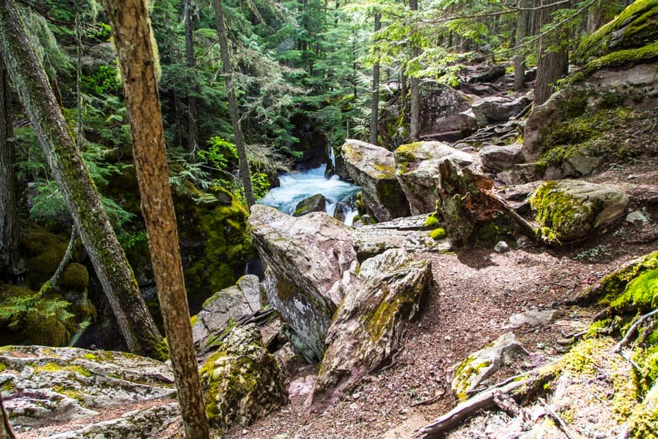
Early on, you’ll reach the Belly River (around 2.25 miles in). A short side path near Gable Creek leads to the park’s longest suspension bridge (spanning over 80 feet), a fun diversion. In the open meadows around the ranger station—one of the oldest continuously staffed outposts in the park—scan for views of Mount Cleveland, Glacier’s highest peak, and Gable Mountain. Farther up-valley, Elizabeth and Glenns Lakes sit beneath dramatic walls, with shoreline stretches that are surprisingly open and scenic.

Trail Character and Difficulty

Although the valley is notably flat for Glacier, the hike starts with a steep drop—meaning you’ll climb back out at the end. Beyond that, the grades are mostly gentle. Expect brushy sections in mid-summer that can obscure your feet and reduce sightlines, and muddy tread after rainy spells. If you extend your trip past Elizabeth/Cosley, there’s a known ford at the Cosley (Mokowanis) outlet that varies by season.

Best Time to Hike

This corridor shines in fall when the aspens turn. It’s also a smart mid-summer choice: the low elevation often opens earlier than high passes, though fast-changing mountain weather is still a given. Start early on warm days—lakeshore sections can be exposed and hot by midday. Late spring to early summer brings mosquitoes; bring repellent and long sleeves.

Tips and Logistics

  • Day hiking requires no permit; backcountry camping does require a permit for designated sites (e.g., Gable Creek, Elizabeth Lake, Helen Lake). Camps have separate cook areas and food hangs—use them diligently.
  • You’re in grizzly country: carry bear spray, make noise in brushy stretches, and give all wildlife space.
  • Wear sturdy, waterproof-friendly footwear; mud is common after rain. For extended routes, bring sandals and poles for the Cosley ford and assess conditions.
  • Cell service is unreliable; download an offline map before you go.

History Note

The Belly River Ranger Station dates to the 1920s (replacing an original 1912 structure, now a barn) and anchors a small historic district of backcountry buildings. It’s a rare, still-manned ranger outpost you can only reach by trail.

Who Will Love It

Newer backpackers and solitude seekers who want Glacier-scale scenery without relentless climbing will be happy here. Photographers and anglers often linger at Elizabeth Lake, and history buffs will appreciate the ranger station district.

Pros

  • Gentle grades across a broad valley make longer mileage feel manageable
  • Historic ranger station and the park’s longest suspension bridge in one outing
  • Often hikeable earlier than high passes when snow lingers elsewhere

Cons

  • Steep initial descent means a stout climb to finish the day
  • Brushy, mosquito-heavy riverbottom in early summer can obscure the tread
  • Seasonal ford beyond Elizabeth/Cosley can be hazardous or impassable

Parking

Park at the Belly River Trailhead by Chief Mountain Customs on the Chief Mountain International Highway (MT-17) near the Canadian border. Day-use parking; arrive early in peak season.

Caution

Expect a steep initial descent (and climb out), thick brush in summer, muddy sections after rain, unreliable cell service, and active grizzly habitat—carry bear spray. If continuing beyond Elizabeth/Cosley, a seasonal ford may be unsafe in high water.

The Parkwolf tour guide sitting on a phone mounted in a car

Parkwolf Tour Guide

Like a tour guide in your car.

Bring Glacier trail research into the car, with offline maps and stories that play as you drive.Download Parkwolf on the App Store