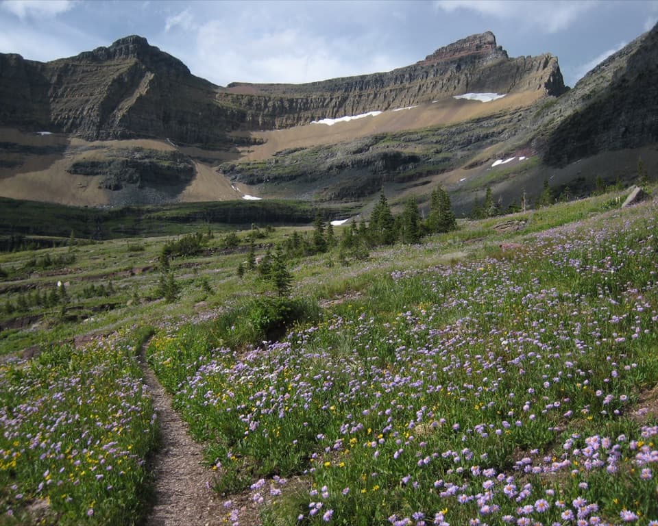
Cosley Lake Trail in Glacier National Park

Glacier National Park, MT

Cosley Lake Trail

A long Belly River hike to a quiet lake beneath jagged peaks.

Photo: Wikimedia Commons
Length
17.6mi
Time
10.5hr
Elev. change
755ft
Difficulty
Challenging
  • No dogs
  • High point 5,325 ft
  • #64 of 157 in Glacier

Hear the audio tour

Belly River Trailhead and Stoney Indian Pass

Overview

About Cosley Lake Trail

Why go

  • Cosley Lake shore views toward Pyramid Peak, Mount Kipp and Cathedral Peak
  • A varied approach through river valley meadows, aspen and forest
  • Optional Gros Ventre Falls and Bear Mountain viewpoint spurs

Heads up

  • A remote 17.6-mile return that is usually planned as an overnight trip
  • The seasonal Belly River crossing needs current condition checks
  • No confirmed food, potable water or toilet stops on route

Map & elevation

The route

Loading the Glacier map
Full map
Elevation4,570–5,325 ft
TrailheadChief Mountain Customs Trailhead48.99591, -113.65968
Keep this map with you offline in the Parkwolf app

Plan your hike

Before you go

Parking

Park at the Chief Mountain Customs Trailhead lot on the U.S. side, just before the border crossing. A route source describes a large lot, but capacity and overflow details were not found. Crossing the international border is not part of this hike; confirm road access before driving.

Safety

The Belly River crossing uses a seasonal suspension bridge. Most seasonal bridges are removed by late September, and early-season water crossings can be deep, swift and cold. Check current trail and crossing reports before going. The route is remote, and the return includes the long climb back out of the valley.

1 active Glacier alert

  • ClosureTwo Medicine Campground closed for 2026 constructionTwo Medicine Campground is closed throughout 2026 because of construction in the Two Medicine developed area.Official details
Glacier alerts
A park ranger sits on a dash-mounted phone, talking, as Parkwolf’s Tour Guide plays “Army Cutworm Moths: A Grizzly Bear Buffet” on Grand Loop Road below Dunraven Pass in Yellowstone
Parkwolf Tour GuideThe highest, rockiest slopes around here are a summer buffet for grizzly bears.

Glacier Tour Guide

Your drive to Cosley Lake Trail, narrated.

Parkwolf is a GPS audio tour guide for Glacier National Park. As you drive, it chimes in with what’s ahead: hidden gems, upcoming stops, history, geology, and wildlife, right through your car’s speakers.

See the Glacier audio tour

Recorded for this trailhead

Belly River Trailhead and Stoney Indian Pass
0:00 / 0:26
“You're approaching Belly River Trailhead near Chief Mountain Customs, where the Stoney Indian Pass route leads through lake basins to a waterfall-lined climb.”

Plays as you drive up to this trailhead in the Parkwolf Glacier Tour Guide.

More stories near here in the app

  • Lee Ridge Trailhead
  • The Pass That Brought the Railway
  • Horns That Keep Growing
  • How a Cliff Becomes a Rock Pile
  • 204 audio storiesacross Glacier’s roads, triggered by GPS as you drive
  • Wildlife heatmapsfor Grizzly Bear, Wolverine, Mountain Goat, and 13 more
  • Works offlinemaps, 157 trails, 91 places, and audio download before you lose signal
  • CarPlay readysimple controls built for the drive
★★★★★
“Our first time to glacier and we used the audio portion for Going to the Sun Road. Wonderful information with perfect advice of what to see and do along the road.”
PaisleyParkFanApp Store review
Download Parkwolf on the App StoreGet Parkwolf on Google Play

4.7 from 8,600+ ratings

Trail guide

Hiking Cosley Lake Trail

The route and the commitmentCosley Lake Trail is a remote out-and-back from Chief Mountain Customs Trailhead to the shore…

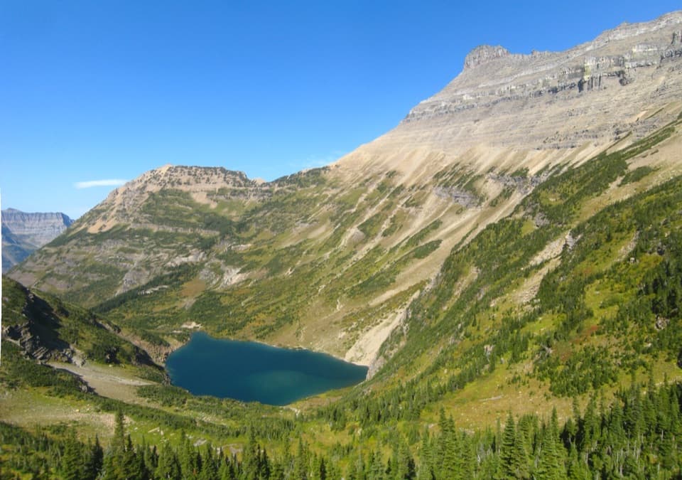
Cosley Lake Trail is a remote out-and-back from Chief Mountain Customs Trailhead to the shore and back, following the Belly River Trail before turning onto the Stoney Indian Pass Trail. Plan on about 17.6 miles round trip; descriptions put the lake about 8.7–8.8 miles from the trailhead, while the available mapped corridor measures about 9.2 miles one way. Treat that distance as an estimate and carry a map. Most visitors make this an overnight backpack; a same-day return is a very long day, roughly 10–11 hours depending on pace and stops.

Down into the Belly River valleyThe route drops roughly 700 feet over its first couple of miles through mixed pine and aspen,…

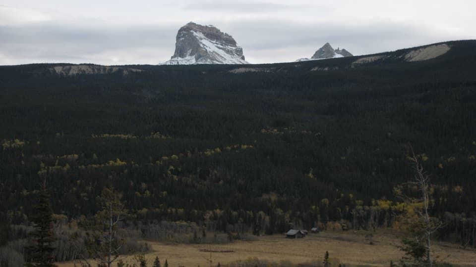
The route drops roughly 700 feet over its first couple of miles through mixed pine and aspen, then levels out across open meadows, aspen groves and forest. It passes Gable Creek and reaches the Belly River Ranger Station area at about mile six. The valley section is gentler, but it is still a long way from the road in either direction.

Cross into the Mokowanis valleyNear the ranger station, take the Stoney Indian Pass branch and cross the Belly River on its…

Near the ranger station, take the Stoney Indian Pass branch and cross the Belly River on its suspension bridge. The trail climbs over a low ridge, then works through forest and meadow into the Mokowanis River valley before reaching Cosley Lake. The bridge is seasonal: Glacier’s trail guidance says most seasonal bridges are removed by late September, and early-season streams can run deep, fast and cold. Check current trail and crossing conditions before setting out.

At the lakeCosley Lake’s backcountry campground sits close to shore.

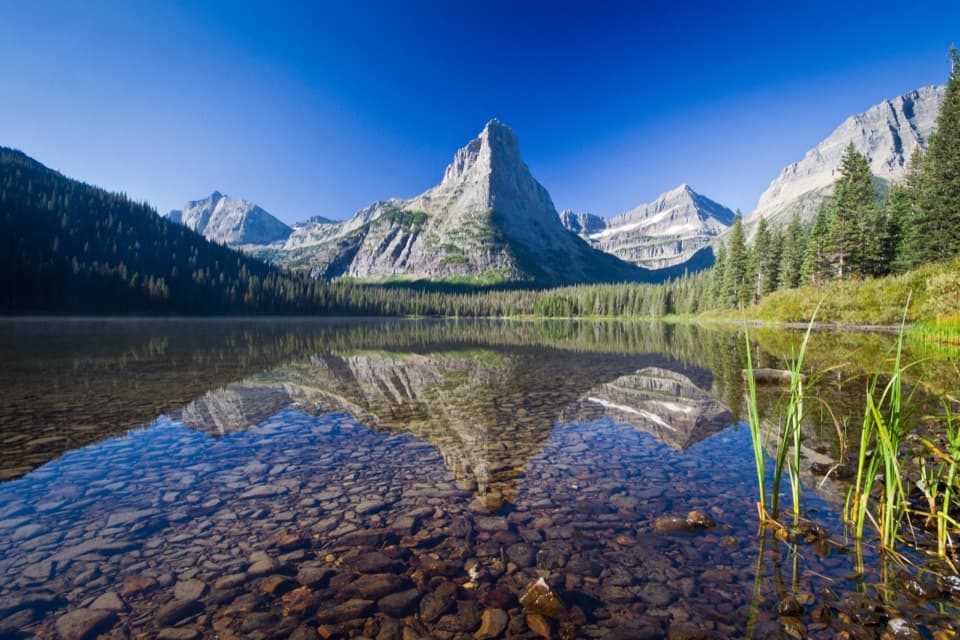
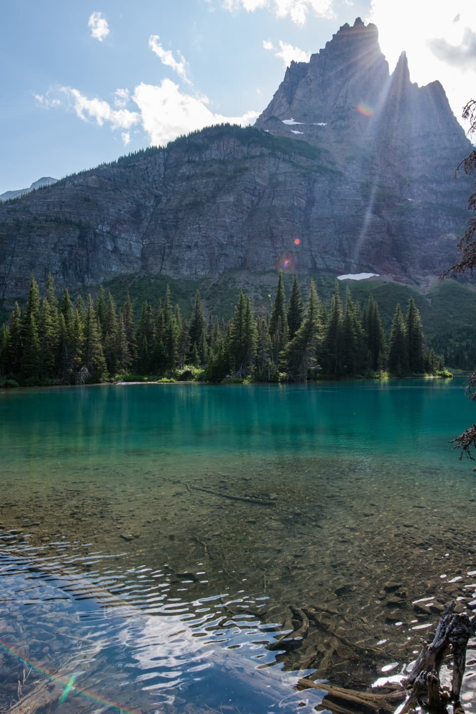
Cosley Lake’s backcountry campground sits close to shore. Across the water, look for Pyramid Peak, Mount Kipp and Cathedral Peak; Shepherd Glacier lies on Cathedral Mountain’s slope, and Mount Cleveland appears in the wider view. Calm water can reflect the peaks. Overnight camping requires a wilderness permit and reservation; the 2024 campground map lists four sites, so confirm current arrangements before planning around a camp spot.

Optional side tripsA short spur of about 100 yards reaches Gros Ventre Falls.

A short spur of about 100 yards reaches Gros Ventre Falls. Bear Mountain Observation Point is a separate, steep 1.7-mile spur that gains nearly 1,400 feet for a view over the Mokowanis valley. Neither spur is included in the Cosley distance or mapped route. The longer Stoney Indian Pass through-hike continues beyond the lake toward Goat Haunt; this row stops at Cosley.

A historic stopThe Belly River Ranger Station near the junction was built in 1925 and is listed on the…

The Belly River Ranger Station near the junction was built in 1925 and is listed on the National Register of Historic Places. It is a notable landmark along the valley approach, before the route leaves the Belly River corridor.

Access and suppliesUse the Chief Mountain Customs Trailhead lot on the U.S.

Use the Chief Mountain Customs Trailhead lot on the U.S. side, just before the border crossing; the hike does not cross into Canada. The trailhead source describes a large lot, but its capacity and overflow pattern are not established. No food, potable water or toilet stops were confirmed along the route, so treat Cosley as backcountry rather than a serviced campground. Dogs are not allowed on Glacier trails or in the backcountry.

Wildlife

Wildlife in Glacier

All Glacier wildlife maps

Sighting maps show where each species has been reported across Glacier. Wildlife moves, so no sighting is guaranteed.

Parkwolf’s Glacier ranking

Top-rated trails in Glacier

All 157 trails
  1. 1Highline TrailChallenging · 11.8 mi
  2. 2Grinnell Glacier TrailChallenging · 10 mi
  3. 3Iceberg Lake TrailModerate · 9.6 mi
  4. 4Hidden Lake Overlook TrailModerate · 2.6 mi
  5. 5Avalanche Lake TrailModerate · 5 mi
  6. 6Trail of the CedarsEasy · 0.9 mi

Take Parkwolf to Glacier.

The audio tour guide for the drive, plus offline maps, trails, and wildlife heatmaps for when the signal drops.

4.7 from 8,600+ ratings

Download Parkwolf on the App StoreGet Parkwolf on Google Play