Parking
Use the Belly River/Chief Mountain trailhead parking area on Highway 17 just south of the US–Canada border. Lot size and amenities were not confirmed.

Glacier National Park, MT
Faint tread and a river ford lead to a remote North Fork.
Overview
Map & elevation
Plan your hike

The highest, rockiest slopes around here are a summer buffet for grizzly bears.
Glacier Tour Guide
Parkwolf is a GPS audio tour guide for Glacier National Park. As you drive, it chimes in with what’s ahead: hidden gems, upcoming stops, history, geology, and wildlife, right through your car’s speakers.
See the Glacier audio tourRecorded for this trailhead
Belly River Trailhead and Stoney Indian Pass“You're approaching Belly River Trailhead near Chief Mountain Customs, where the Stoney Indian Pass route leads through lake basins to a waterfall-lined climb.”
Plays as you drive up to this trailhead in the Parkwolf Glacier Tour Guide.
More stories near here in the app
“Our first time to glacier and we used the audio portion for Going to the Sun Road. Wonderful information with perfect advice of what to see and do along the road.”


Trail guide
North Fork Belly River Trail is a remote out-and-back from the Belly River access to the North Fork drainage. The mapped corridor works out to about 18.7 miles round trip; a route description gives 17.1 miles, so treat the distance as approximate and allow extra time. About 3,400 feet of climbing is reported. Plan a full day for the long approach, faint tread, ford and route-finding.
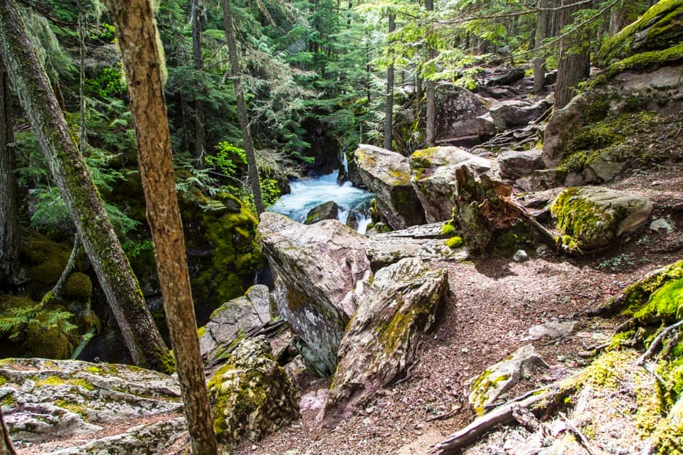
After nearly three miles into the Belly River drainage, watch for a faint branch toward the river. Tread disappears around an unbridged ford, then the old route crosses a broad meadow without a visible trail. A narrow tread reappears and bends around Sentinel Mountain's north ridge. This is a remote route with substantial way-finding, not a continuously maintained path.
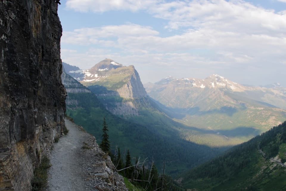
Trees screen much of the ridge traverse; views open on its west side toward Sofa Mountain, Sarcee Mountain and the North Fork drainage. The descent follows the north side of a seasonal creek toward the river. This route turns around at the North Fork; the old trail onward to Miche Wabun Lake is long overgrown and is not part of this hike.
Start at the Belly River/Chief Mountain trailhead parking area on Highway 17 just south of the US–Canada border. Allow about 12 hours as a planning estimate. The ford can be deep, swift and cold, especially during runoff; broken tread and the trail-less meadow require confident navigation. Check current park trail information before setting out and turn back if the crossing is unsafe. Pets are not allowed on park trails or in the backcountry.
Wildlife
 404 sightingsGrizzly BearMost seen around 6 AMSighting map
 11 sightingsWolverineMost seen around 8 PMSighting map
 1,173 sightingsMountain GoatMost seen around 6 AMSighting map
 1,000 sightingsBighorn SheepMost seen around 6 AMSighting map
 395 sightingsMooseMost seen around 6 AMSighting map
 506 sightingsBlack BearMost seen around 8 PMSighting map
Sighting maps show where each species has been reported across Glacier. Wildlife moves, so no sighting is guaranteed.
Keep exploring
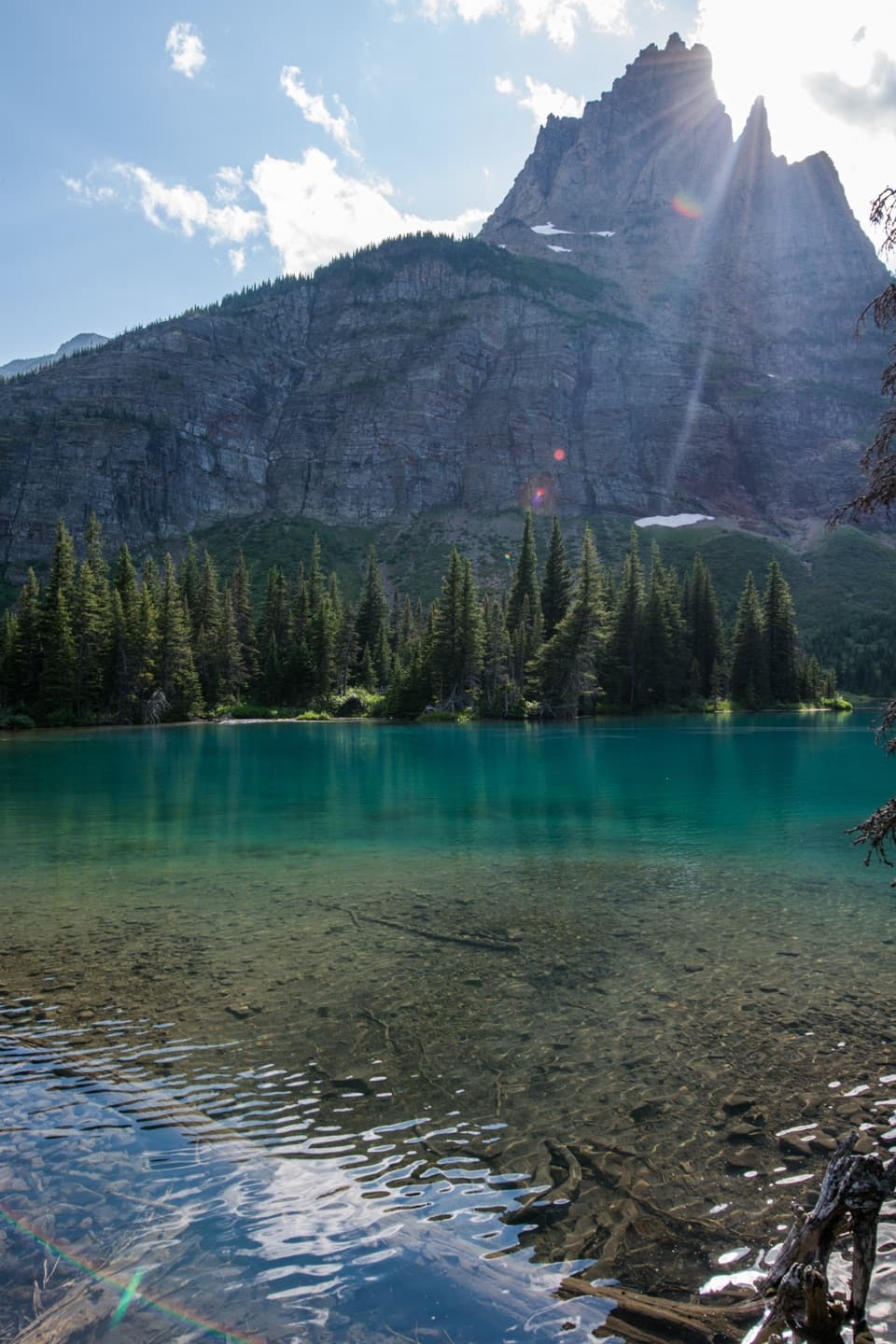 ChallengingMokowanis Lake Trail28.8 mi · 15 hr · At the trailheadA long valley walk to a lake beneath Pyramid Peak.
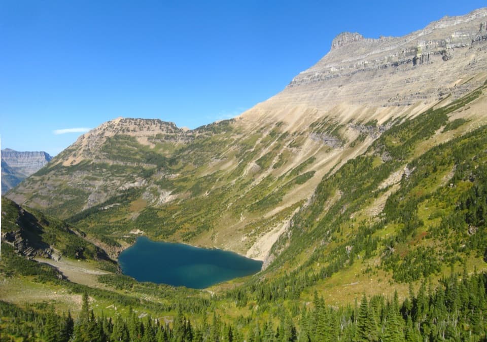 ChallengingStoney Indian Pass Trail26.7 mi · 17 hr · At the trailheadA high pass links two remote valleys and drops into Goat Haunt.
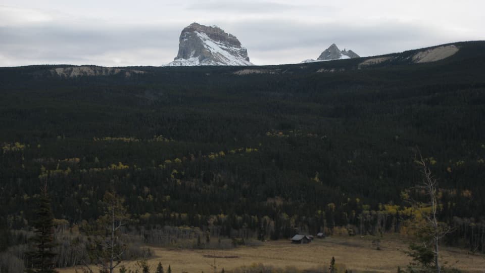 ModerateBelly River Trail12.2 mi · 6.5 hr · At the trailheadA daylong valley walk to a meadow beneath Chief Mountain.
 ChallengingElizabeth Lake Trail18.6 mi · 10 hr · At the trailheadA full day along Belly River ends at Elizabeth Lake.
 ChallengingCosley Lake Trail17.6 mi · 10.5 hr · At the trailheadA long Belly River hike to a quiet lake beneath jagged peaks.
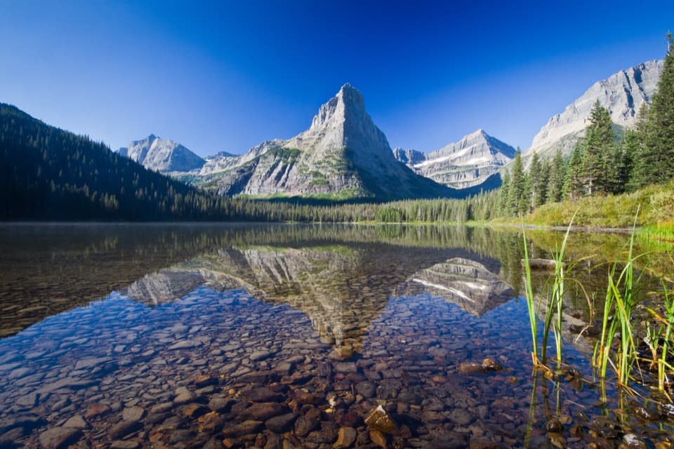 ChallengingGlenns Lake Trail25.3 mi · 14 hr · At the trailheadThe lake head is worth the long backcountry approach.
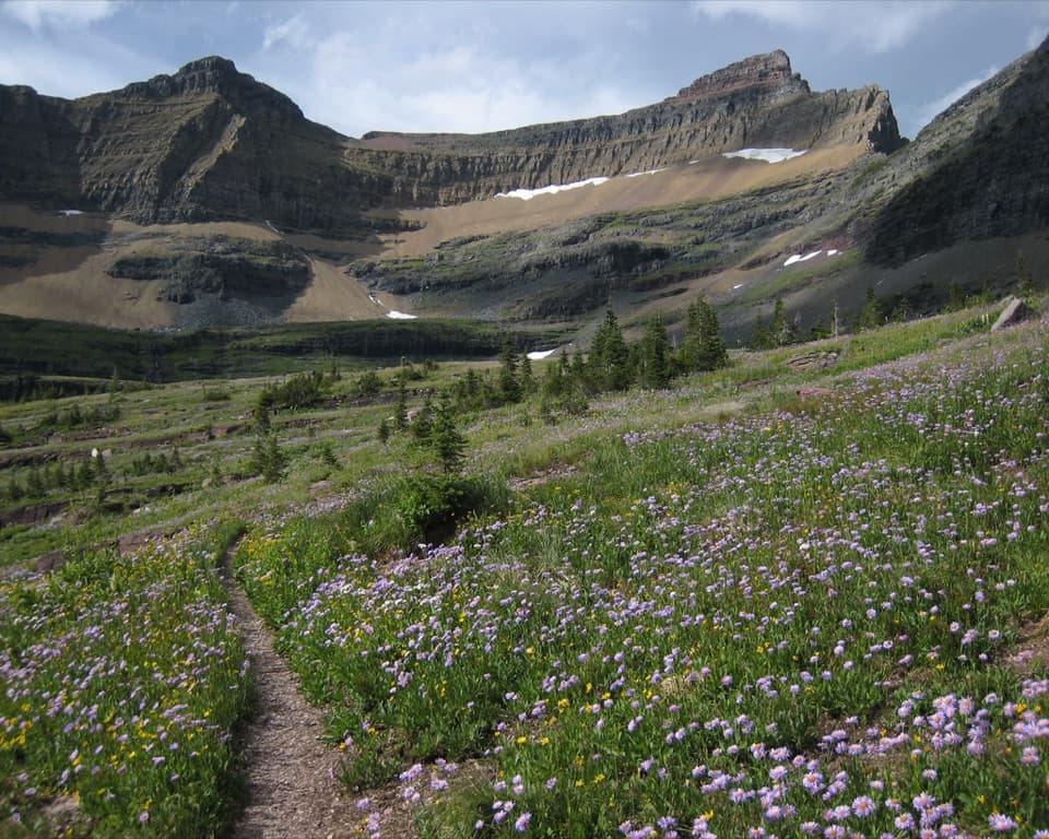 ChallengingPacific Northwest National Scenic Trail: Glacier Section55 mi · 1.7 days · 0.1 mi awayA rugged 55-mile crossing over the Continental Divide to Polebridge.
 ChallengingGable Pass Trail13.6 mi · 9 hr · 0.6 mi awayA long Lee Ridge climb to a steep, rocky pass.
Parkwolf’s Glacier ranking

The audio tour guide for the drive, plus offline maps, trails, and wildlife heatmaps for when the signal drops.