
Place
Challenging
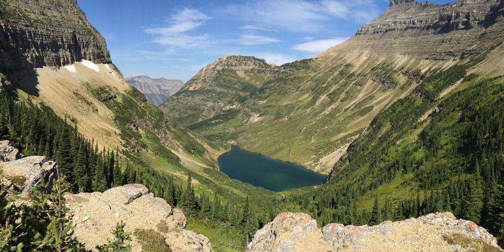
This is one of Glacier’s great backcountry traverses: a point‑to‑point route that runs between the Belly River country near Chief Mountain and the Waterton Valley at Goat Haunt via Stoney Indian Pass. Expect big, lonely country, long lake approaches, and a steep, spectacular climb to a high pass. The classic itinerary covers 26.6 miles one way, which most hikers split over multiple days. It’s not a day stroll—think backpack, not out‑and‑back—and it rewards the work with constant scenery changes and genuine wilderness vibes.
From the Belly River side, you’ll work past Cosley and Glenns Lakes (including an obvious alluvial fan you actually walk across along Glenns Lake), then climb through forest and into airy alpine terrain to Stoney Indian Pass. From the pass, the trail drops steeply to emerald Stoney Indian Lake (there’s a hiker campsite on the northwest shore) and continues down to the Waterton Valley. Reversing the direction from Goat Haunt makes the final climb to the pass steeper and more sustained.
Backcountry camping punctuates this corridor, with sites at Cosley Lake, Glenns Lake, Upper Glenns, Mokowanis Junction, and Stoney Indian Lake. Fires are allowed only where provided—Glenns Lake has grates; Cosley Lake and Stoney Indian Lake do not allow open fires. Overnight use requires a backcountry permit and campsite reservations, and this area is popular enough that advance planning is smart. Food storage is provided at designated backcountry camps (bear boxes or poles).
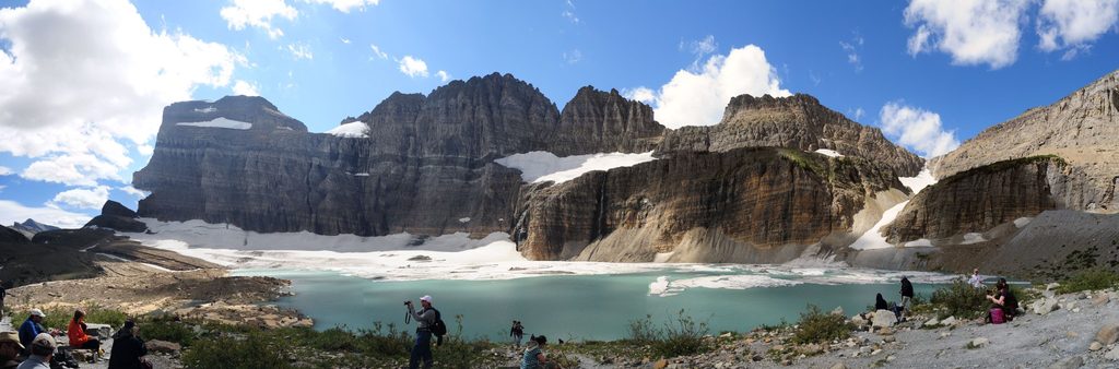
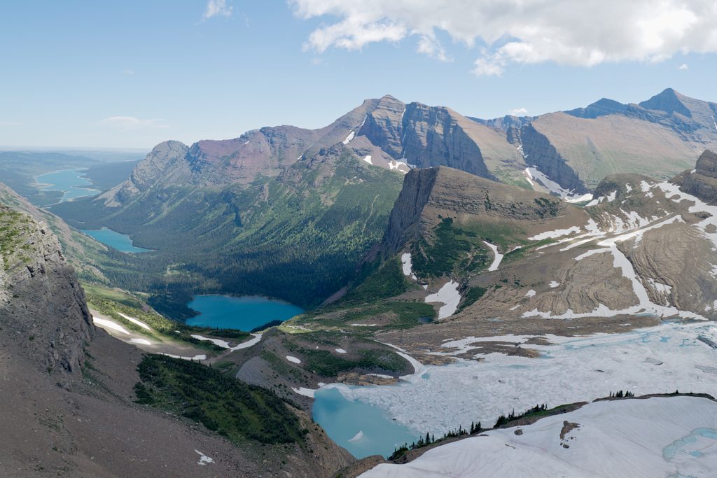
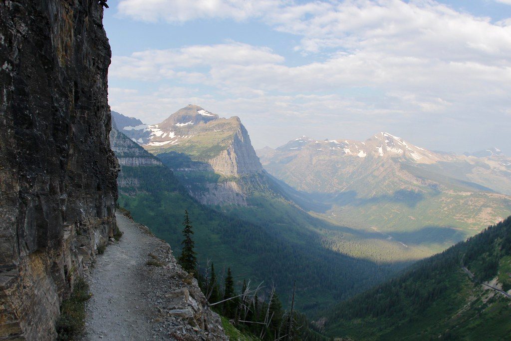
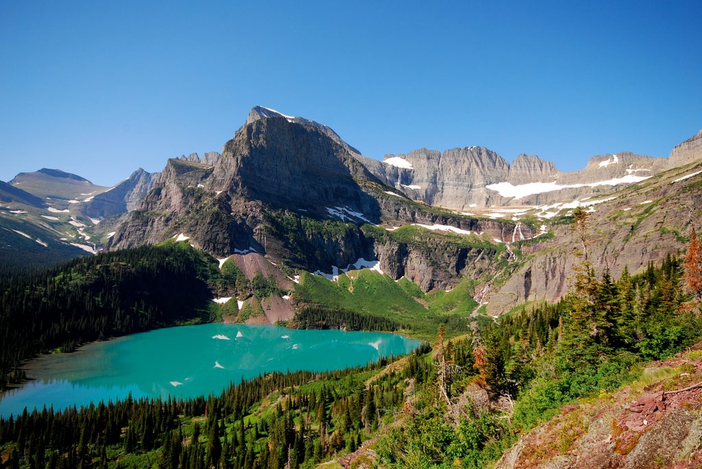
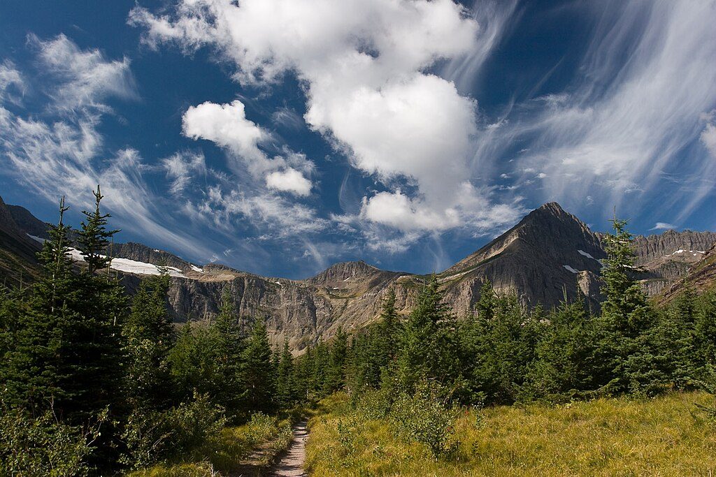
The approach winds through classic glacially carved valleys, then breaks out into high, open country with wide Lewis Range panoramas. Watch for hanging ice and serrated ridgelines (Porcupine Ridge is your toothy skyline as you descend toward Waterton). Along the shore sections, note the red and green banded rocks—argillite formed with or without oxygen—and the outsized alluvial fan feeding Glenns Lake. This is prime grizzly and mountain goat habitat; give wildlife respectful space and keep your food locked down.
High country access is generally best from August into early September, once lingering snowfields and high water have subsided. July can still hold steep, icy snow on the pass; early season often means mud, deep or swift fords, and snow navigation. By late September, expect increased odds of significant snowfall and very active bears. In winter, this corridor is not maintained and overlaps avalanche terrain—save it for summer.
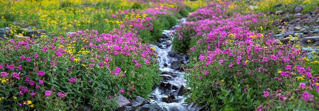
If you’re chasing Glacier’s remote side—long lake approaches, a steep alpine pass, hanging ice, wildflowers, and real solitude—this traverse is a standout. The only “gotcha” is logistics (permits, shuttles/boat, and a true backcountry commitment), but the payoff is enormous.
Park at the Belly River Trailhead near the Chief Mountain Customs area; the west end at Goat Haunt typically requires arriving by boat on Waterton Lake or approaching on foot.
High pass exposure to wind and fast‑changing weather; early–mid summer snow can require traction or an ice axe; unbridged stream crossings may be swift and cold; bears are very active in late season. Overnight travel requires a backcountry permit and reserved campsites; fires allowed only where grates are provided.
Place
Place
Place
Place
Challenging
Challenging
Challenging
Challenging

Parkwolf Tour Guide
