Parking
Park at the Chief Mountain Customs trailhead lot before the port of entry. The port and approach road are seasonal; verify current access before setting out.

Glacier National Park, MT
A full day along Belly River ends at Elizabeth Lake.
Overview
Map & elevation
Plan your hike

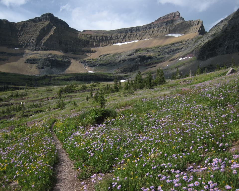
The highest, rockiest slopes around here are a summer buffet for grizzly bears.
Glacier Tour Guide
Parkwolf is a GPS audio tour guide for Glacier National Park. As you drive, it chimes in with what’s ahead: hidden gems, upcoming stops, history, geology, and wildlife, right through your car’s speakers.
See the Glacier audio tourRecorded for this trailhead
Belly River Trailhead and Stoney Indian Pass“You're approaching Belly River Trailhead near Chief Mountain Customs, where the Stoney Indian Pass route leads through lake basins to a waterfall-lined climb.”
Plays as you drive up to this trailhead in the Parkwolf Glacier Tour Guide.
More stories near here in the app
“Our first time to glacier and we used the audio portion for Going to the Sun Road. Wonderful information with perfect advice of what to see and do along the road.”


Trail guide
Elizabeth Lake Trail is a long out-and-back from Chief Mountain Customs to Elizabeth Lake Foot, returning by the same route. The commonly described distance is about 9.3 miles each way, or 18.6 miles round trip. Follow the Belly River route to the Foot Campground junction; this turnaround does not continue along the lakeshore to Head Campground or Helen Lake. Set aside a full day for the distance and the climb back to the start.
The first two miles descend about 741 feet through mixed pine and aspen before reaching the valley floor. That stretch can be slick after rain, and the descent becomes a climb when you return to the trailhead. The rest of the valley approach is comparatively level, though it adds many miles.
The path passes open meadows, aspen groves and pine stands. Around mile 6, the Stoney Indian Pass junction comes shortly before the Belly River Ranger Station meadow; continue on the Belly River route. Around mile 7.6, stay on the main trail at the Cosley Lake Cutoff. Farther on, a suspension bridge crosses the river, with a short spur to Dawn Mist Falls around mile 8.1. Elizabeth Lake Foot is the turnaround near mile 9.3.
The trailhead is beside the Chief Mountain Customs parking area before the port of entry. The port and its approach road operate seasonally, so check current access before travelling. Check park trail reports for current river-crossing and bridge conditions as well. Pets are not permitted on Glacier trails. If you plan to stay overnight at Elizabeth Lake Foot, you need a backcountry permit.
Wildlife
 404 sightingsGrizzly BearMost seen around 6 AMSighting map
 11 sightingsWolverineMost seen around 8 PMSighting map
 1,173 sightingsMountain GoatMost seen around 6 AMSighting map
 1,000 sightingsBighorn SheepMost seen around 6 AMSighting map
 395 sightingsMooseMost seen around 6 AMSighting map
 506 sightingsBlack BearMost seen around 8 PMSighting map
Sighting maps show where each species has been reported across Glacier. Wildlife moves, so no sighting is guaranteed.
Keep exploring
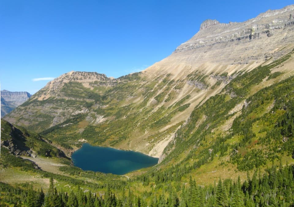 ChallengingStoney Indian Pass Trail26.7 mi · 17 hr · At the trailheadA high pass links two remote valleys and drops into Goat Haunt.
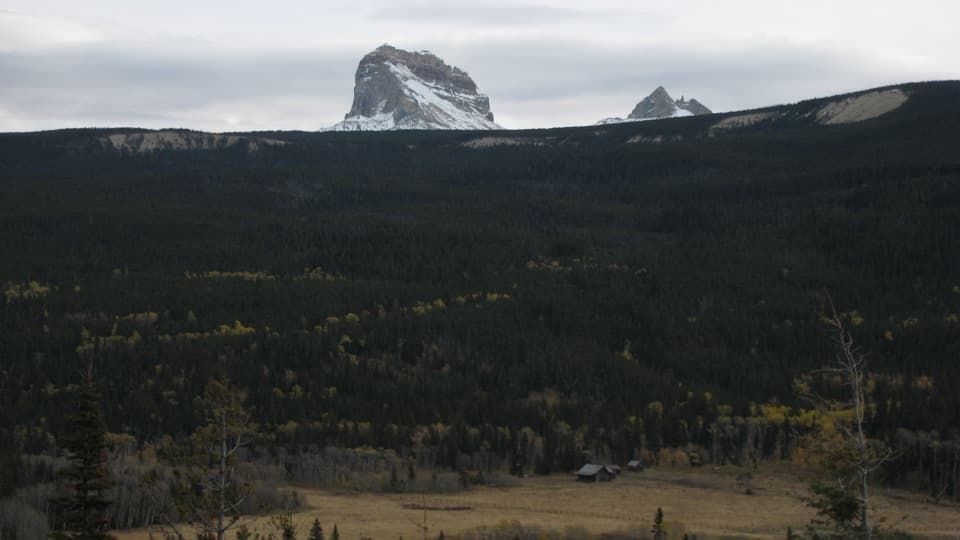 ModerateBelly River Trail12.2 mi · 6.5 hr · At the trailheadA daylong valley walk to a meadow beneath Chief Mountain.
 ChallengingCosley Lake Trail17.6 mi · 10.5 hr · At the trailheadA long Belly River hike to a quiet lake beneath jagged peaks.
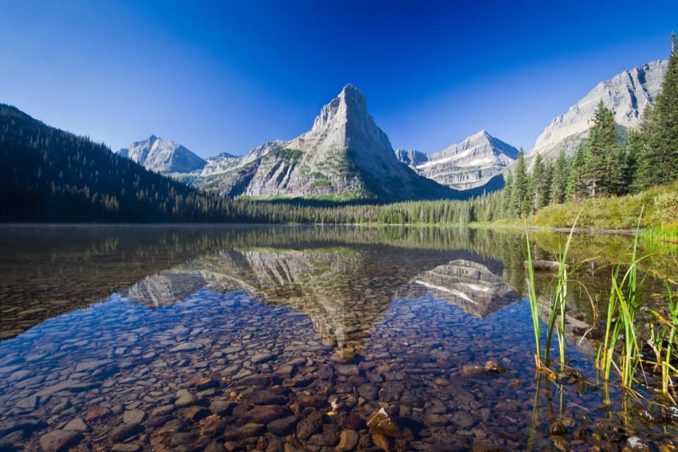 ChallengingGlenns Lake Trail25.3 mi · 14 hr · At the trailheadThe lake head is worth the long backcountry approach.
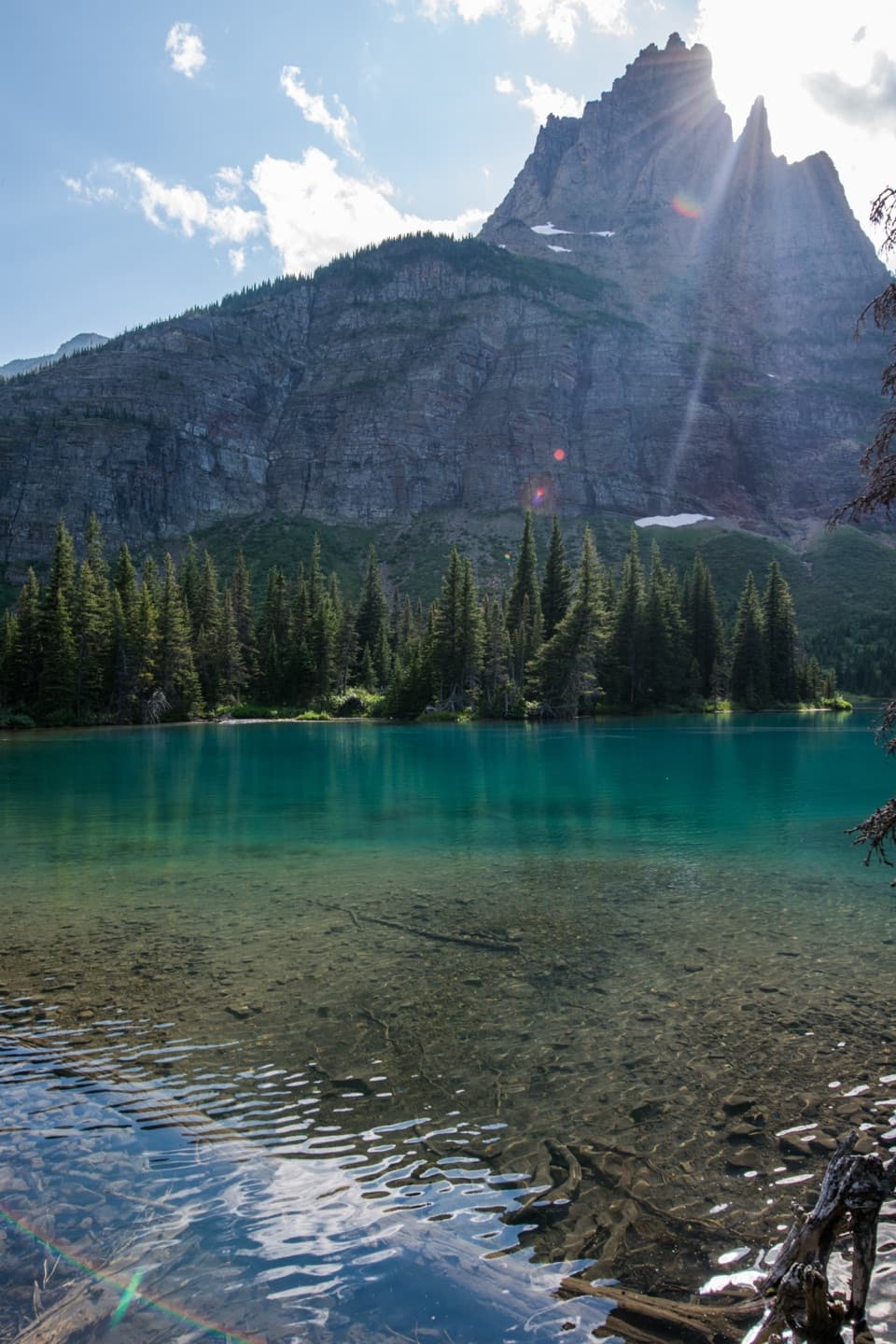 ChallengingMokowanis Lake Trail28.8 mi · 15 hr · At the trailheadA long valley walk to a lake beneath Pyramid Peak.
 ChallengingNorth Fork Belly River Trail18.7 mi · 12 hr · At the trailheadFaint tread and a river ford lead to a remote North Fork.
 ChallengingPacific Northwest National Scenic Trail: Glacier Section55 mi · 1.7 days · 0.1 mi awayA rugged 55-mile crossing over the Continental Divide to Polebridge.
 ChallengingGable Pass Trail13.6 mi · 9 hr · 0.6 mi awayA long Lee Ridge climb to a steep, rocky pass.
Parkwolf’s Glacier ranking

The audio tour guide for the drive, plus offline maps, trails, and wildlife heatmaps for when the signal drops.





