Parking
Use the Belly River Trailhead on Chief Mountain International Highway (MT-17), about 1,000 feet south of Chief Mountain Customs.
Glacier National Park, MT
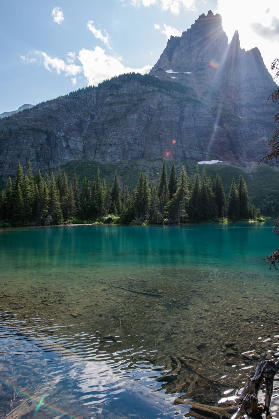
A long valley walk to a lake beneath Pyramid Peak.
Overview
From Belly River Trailhead just south of Chief Mountain Customs to Mokowanis Lake and back is 28.8 miles, with 14.4 miles to the lake. The route follows Belly River Trail, Cosley Lake Cutoff, Stoney Indian Pass Trail, then the short Mokowanis Lake spur. The name Mokowanis Lake Trail often labels the final spur; the distance above includes the full approach from the road. Allow about 15 hours on foot over at least two days. I would plan an overnight rather than try to force the whole out-and-back into one day.
 Parkwolf’s verdictIs this the full hike for you?
Map & elevation
Plan your hike

The highest, rockiest slopes around here are a summer buffet for grizzly bears.
Glacier Tour Guide
Parkwolf is a GPS audio tour guide for Glacier National Park. As you drive, it chimes in with what’s ahead: hidden gems, upcoming stops, history, geology, and wildlife, right through your car’s speakers.
See the Glacier audio tourRecorded for this trailhead
Belly River Trailhead and Stoney Indian Pass“You're approaching Belly River Trailhead near Chief Mountain Customs, where the Stoney Indian Pass route leads through lake basins to a waterfall-lined climb.”
Plays as you drive up to this trailhead in the Parkwolf Glacier Tour Guide.
More stories near here in the app
“Our first time to glacier and we used the audio portion for Going to the Sun Road. Wonderful information with perfect advice of what to see and do along the road.”


Trail guide
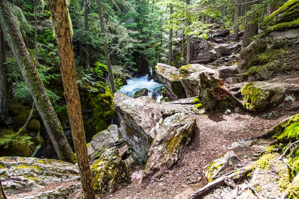
The first two miles drop about 700 feet through lodgepole forest, then mixed evergreens and aspen. Mountain views start opening after roughly two-thirds of a mile; around mile 2.25 you reach the Belly River, followed by meadow and broken-forest stretches with broader valley views. These lower miles can be very muddy early in the season or after rain.
The Belly River Ranger Station area comes at about mile 6.1. The first station dates to 1912; its current cabin was built in 1925–26. It is a rare trail-only ranger post in a valley that still feels far from the park roads.
Past the ranger station, the route crosses a seasonal suspension bridge and climbs a low ridge toward Cosley Lake. At about mile 8.7, the lake opens below Pyramid Peak, Mount Kipp and Cathedral Peak; their reflections are the standout view here. A short detour reaches Gros Ventre Falls.
The route keeps going through forest along the long Glenns Lake shore. This stretch rolls gently, but willows block the water in places, so don't expect an open shoreline view all the way through. Mokowanis Junction is around mile 13.2; follow the southern spur toward the lake.
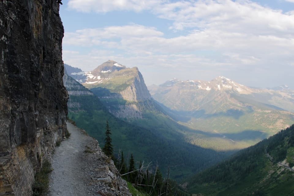
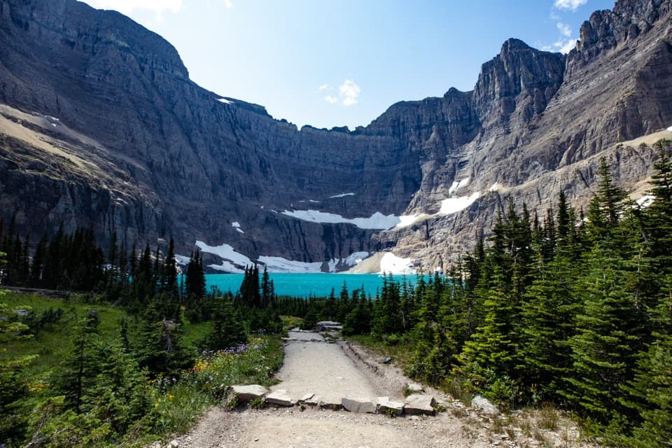
The last roughly 1.4 miles climb past White Quiver Falls to Mokowanis Lake, beneath the steep east face of Pyramid Peak and Mount Merritt. The lake and its two-site backcountry campground are the end of this itinerary. This is a remote valley walk with a dramatic destination, not a summit hike.
A National Park Service wilderness permit and reserved backcountry site are required to stay overnight. The Mokowanis Lake campground has only two sites, so make the reservation part of the plan. There is no food service on the route. Glacier National Park prohibits pets on trails and lake shores.
Early-season lower trails are often muddy, and water crossings can be cold and swift. Seasonal bridges may not yet be installed in late spring and are usually removed by late September; check current trail and road status before leaving for this remote access.
If 28.8 miles is too much, Belly River Ranger Station is about 6.1 miles one way from the same trailhead, and Cosley Lake is about 8.7 miles one way. Both are earlier turnarounds on this corridor; Cosley still makes a substantial 17.4-mile out-and-back, but skips the final long push to Mokowanis.
Wildlife
 404 sightingsGrizzly BearMost seen around 6 AMSighting map
 11 sightingsWolverineMost seen around 8 PMSighting map
 1,173 sightingsMountain GoatMost seen around 6 AMSighting map
 1,000 sightingsBighorn SheepMost seen around 6 AMSighting map
 395 sightingsMooseMost seen around 6 AMSighting map
 506 sightingsBlack BearMost seen around 8 PMSighting map
Sighting maps show where each species has been reported across Glacier. Wildlife moves, so no sighting is guaranteed.
Keep exploring
 ChallengingNorth Fork Belly River Trail18.7 mi · 12 hr · At the trailheadFaint tread and a river ford lead to a remote North Fork.
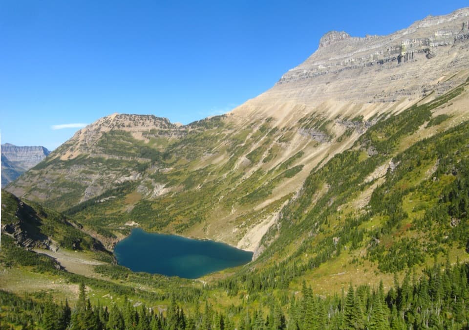 ChallengingStoney Indian Pass Trail26.7 mi · 17 hr · At the trailheadA high pass links two remote valleys and drops into Goat Haunt.
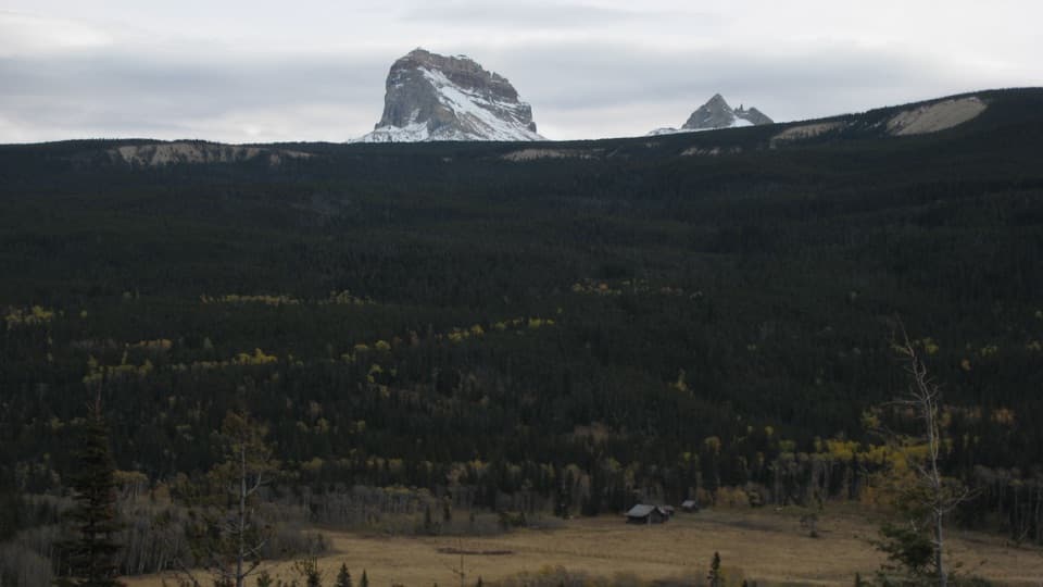 ModerateBelly River Trail12.2 mi · 6.5 hr · At the trailheadA daylong valley walk to a meadow beneath Chief Mountain.
 ChallengingElizabeth Lake Trail18.6 mi · 10 hr · At the trailheadA full day along Belly River ends at Elizabeth Lake.
 ChallengingCosley Lake Trail17.6 mi · 10.5 hr · At the trailheadA long Belly River hike to a quiet lake beneath jagged peaks.
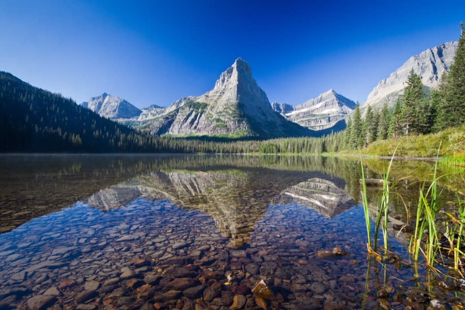 ChallengingGlenns Lake Trail25.3 mi · 14 hr · At the trailheadThe lake head is worth the long backcountry approach.
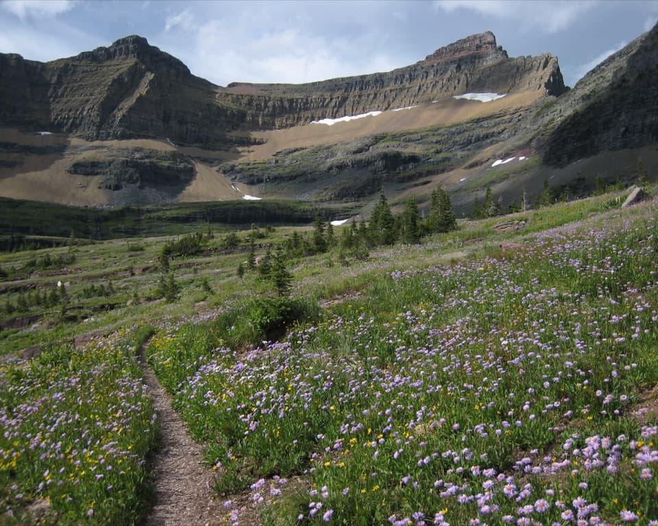 ChallengingPacific Northwest National Scenic Trail: Glacier Section55 mi · 1.7 days · 0.1 mi awayA rugged 55-mile crossing over the Continental Divide to Polebridge.
 ChallengingGable Pass Trail13.6 mi · 9 hr · 0.6 mi awayA long Lee Ridge climb to a steep, rocky pass.
Parkwolf’s Glacier ranking
The audio tour guide for the drive, plus offline maps, trails, and wildlife heatmaps for when the signal drops.