Parking
Start at the small Iceberg-Ptarmigan Trailhead lot behind Swiftcurrent Motor Inn, reported to hold about 12 to 15 cars. If it is full, overflow parking in front of the inn adds about a 0.2-mile walk.
Glacier National Park, MT
A steep climb to a lake beneath a massive glacial wall.
Overview
Map & elevation
Plan your hike

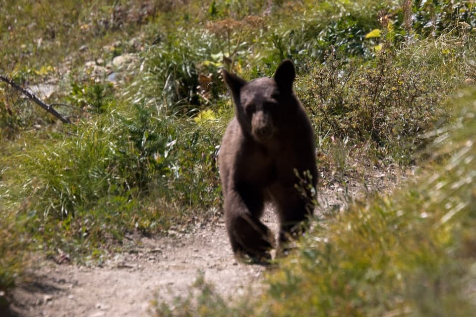
The highest, rockiest slopes around here are a summer buffet for grizzly bears.
Glacier Tour Guide
Parkwolf is a GPS audio tour guide for Glacier National Park. As you drive, it chimes in with what’s ahead: hidden gems, upcoming stops, history, geology, and wildlife, right through your car’s speakers.
See the Glacier audio tourRecorded for this trailhead
Iceberg Lake Trailhead“You’re nearing Iceberg-Ptarmigan Trailhead, where I’d choose Iceberg Lake for a full day on foot.”
Plays as you drive up to this trailhead in the Parkwolf Glacier Tour Guide.
More stories near here in the app
“Our first time to glacier and we used the audio portion for Going to the Sun Road. Wonderful information with perfect advice of what to see and do along the road.”


Trail guide
Ptarmigan Lake Trail is an 8.6-mile out-and-back from the Iceberg-Ptarmigan Trailhead, with about 1,700 feet of climbing to a high glacial lake beneath Ptarmigan Wall. You pass Ptarmigan Falls and share the lower approach with Iceberg Lake hikers before taking the Ptarmigan branch. Plan roughly five to six hours, including breaks; the long return and two steep climbs make this a strenuous half-day. Ptarmigan Tunnel is a separate continuation beyond the lake, adding about two miles round trip and 600 feet of gain.
From behind Swiftcurrent Motor Inn, take the right-hand connector. It climbs about 185 feet in the first quarter mile, then eases after joining Ptarmigan Trail. The opening is relatively open, with mountain views; around 1.5 miles in, the path enters denser pine forest. At roughly 2.5 miles, a small clearing gives only a partial look at Ptarmigan Falls because trees and steep ground hide much of it. A rocky opening just above the falls makes a better place to pause.
Cross Ptarmigan Creek on the footbridge above the falls. About a tenth of a mile later, turn right at the junction to stay on Ptarmigan Trail toward the lake. The other branch heads to Iceberg Lake, a different hike from the same access. Keep the route to the lake; the trail's continuation past it climbs to Ptarmigan Tunnel and is not part of the distance here.
Beyond the junction, the trail gains more than 400 feet over about 0.6 mile through huckleberry brush. Bears feed in this corridor, so make noise near thick vegetation and water, travel in a group, and carry accessible bear spray. Above treeline, Ptarmigan Wall fills more of the view. At about 4.2 miles, cascades spill down Ptarmigan Creek just before Ptarmigan Lake. A short side path reaches the water; the main trail continues above the shore. The lake sits in a glacially carved basin, with Ptarmigan Wall to the west, 8,914-foot Crowfeet Mountain to the east, and the saddle toward the tunnel to the north. From the lakeside, keep some water in the foreground with the wall behind it.
The trailhead lot is small, reported at roughly 12 to 15 cars. If it is full, overflow parking in front of Swiftcurrent Motor Inn adds about a 0.2-mile walk to the start. A seasonal restroom is listed at the trailhead; no food or water service on the route was verified, so carry what you need for the full outing. Glacier's pet rule prohibits pets on trails. Check current trail conditions before setting out, especially late in the season when snow and bridge changes can affect high routes.
Wildlife
 404 sightingsGrizzly BearMost seen around 6 AMSighting map
 11 sightingsWolverineMost seen around 8 PMSighting map
 1,173 sightingsMountain GoatMost seen around 6 AMSighting map
 1,000 sightingsBighorn SheepMost seen around 6 AMSighting map
 395 sightingsMooseMost seen around 6 AMSighting map
 506 sightingsBlack BearMost seen around 8 PMSighting map
Sighting maps show where each species has been reported across Glacier. Wildlife moves, so no sighting is guaranteed.
Keep exploring
 ModerateIceberg Lake Trail9.6 mi · 6 hr · At the trailheadA long valley walk ends at a turquoise lake beneath steep cliffs.
 ChallengingPtarmigan Tunnel Trail10.6 mi · 6 hr · At the trailheadA hard climb to the tunnel and its north-side Elizabeth Lake view.
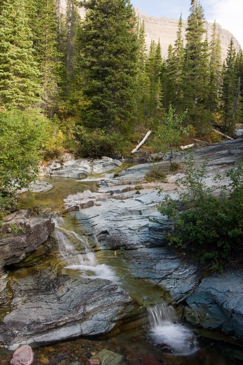 ModeratePtarmigan Falls Trail5.4 mi · 3.5 hr · At the trailheadA forested climb to a partly screened waterfall and big peaks.
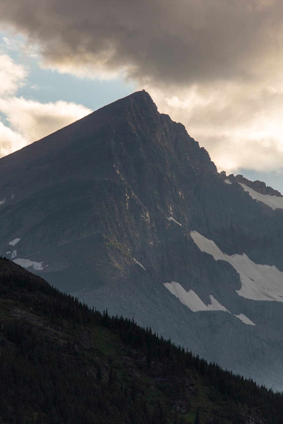 ChallengingSwiftcurrent Lookout Trail16.5 mi · 11 hr · 0.1 mi awayA big Many Glacier day ends at a historic summit lookout.
 ChallengingSwiftcurrent Pass Trail13.6 mi · 8.5 hr · 0.1 mi awayThree lakes first, then a rugged climb to the Continental Divide.
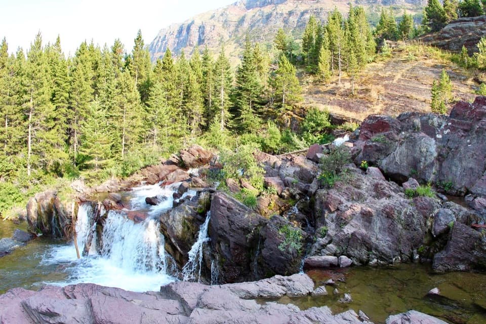 EasyRedrock Falls Trail3.6 mi · 2.3 hr · 0.1 mi awayA gentle lake walk ending at red-rock cascades.
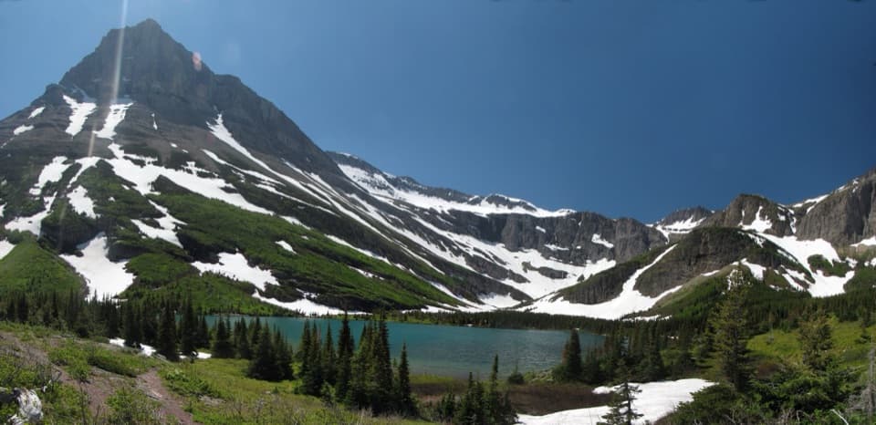 ModerateBullhead Lake Trail6.8 mi · 3.5 hr · 0.1 mi awayFishercap, Redrock and Bullhead Lakes, with cascading falls in between
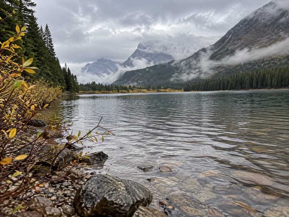 EasyFishercap Lake Trail0.6 mi · 30 min · 0.1 mi awayA short walk to a marshy lake where moose sometimes feed.
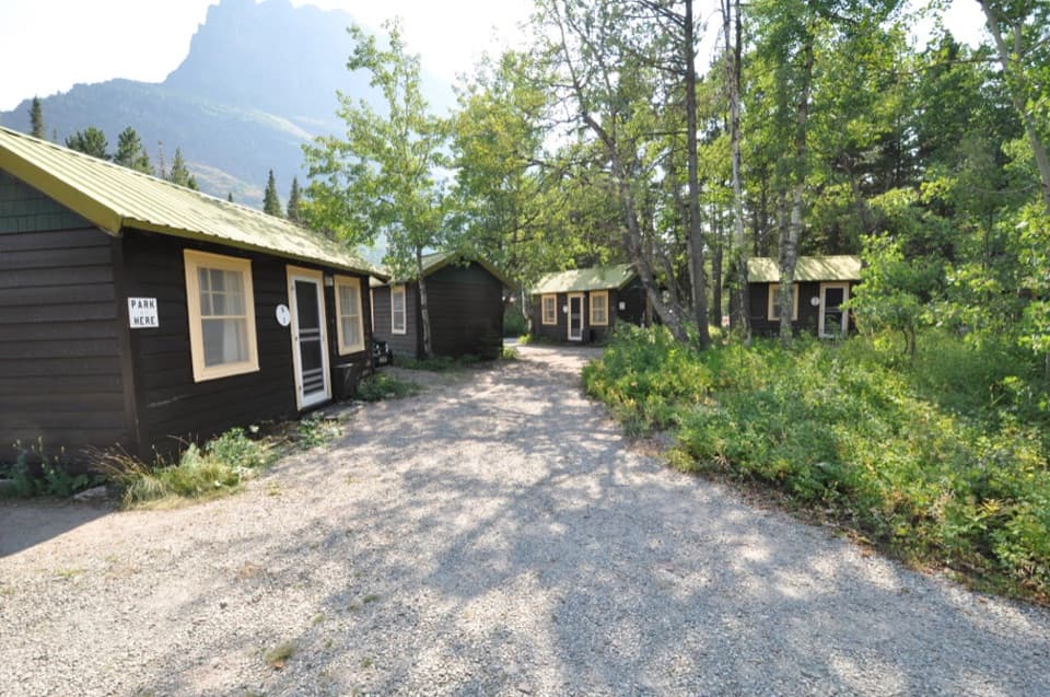 Lodging · 0.1 mi awaySwiftcurrent Motor Inn and CabinsCabins, motel rooms, meals, and supplies close to the hikes.
 Campground · 0.2 mi awayMany Glacier CampgroundA shaded base for east-side hikes, with the inn close by.
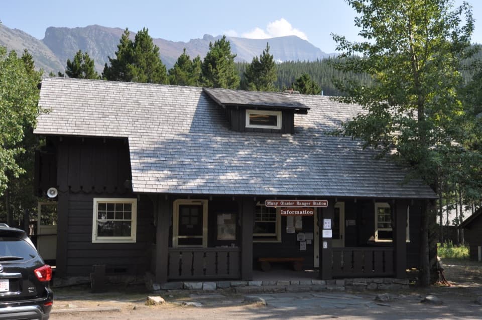 Ranger station · 0.3 mi awayMany Glacier Ranger StationGet local help before heading into Glacier’s backcountry.
 Lodging · 0.9 mi awayMany Glacier HotelHistoric hotel with a double-helix lobby stair beside Swiftcurrent Lake.
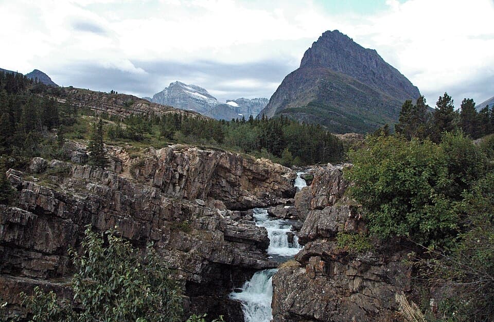 Sight · 1 mi awaySwiftcurrent FallsA tiered cascade with a tricky close approach and Mount Grinnell behind.
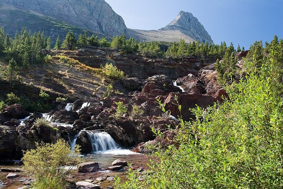 Sight · 1.6 mi awayRedrock FallsA shaded walk opens onto red-rock cascades and a mountain lake.
 Sight · 1.9 mi awayApikuni FallsA steep climb to a waterfall beneath Mount Altyn.Sight · 2.2 mi awayPtarmigan FallsA waterfall break on the long hike toward Iceberg Lake.
Parkwolf’s Glacier ranking

The audio tour guide for the drive, plus offline maps, trails, and wildlife heatmaps for when the signal drops.




