Kishenehn Creek Trail in Glacier National Park

Glacier National Park, MT

Kishenehn Creek Trail

Follow a quiet creek corridor to the stark border clearing.

Length
8.2mi
Time
4.5hr
Elev. change
390ft
Difficulty
Moderate
  • No dogs
  • High point 4,301 ft
Parkwolf audio tour204 stories across Glacier’s roads

Overview

About Kishenehn Creek Trail

Why go

  • A rare creek-side walk that reaches the international boundary.
  • Forest gives way to open meadows near the turnaround.

Heads up

  • The cabin-to-border spur is already 8.2 miles round trip.
  • The required road approach can add about 9.4 miles.

Map & elevation

The route

Loading the Glacier map
Full map
Elevation3,911–4,301 ft
TrailheadKishenehn Patrol Cabin48.96014, -114.42209
Keep this map with you offline in the Parkwolf app

Plan your hike

Before you go

Parking

There is no vehicle access to the Patrol Cabin. Reach it on foot from the separate Kishenehn access trail along Inside North Fork Road; the cabin is reported about 4.7 miles from the road-side start. Current road access and parking details were not confirmed.

Safety

Two creek crossings are reported on the spur. The separate road approach includes a multi-channel Kishenehn Creek ford; early-season water can be deep, swift and cold. Do not cross the international boundary without prior authorization.

1 active Glacier alert

  • ClosureTwo Medicine Campground closed for 2026 constructionTwo Medicine Campground is closed throughout 2026 because of construction in the Two Medicine developed area.Official details
Glacier alerts
A park ranger sits on a dash-mounted phone, talking, as Parkwolf’s Tour Guide plays “Army Cutworm Moths: A Grizzly Bear Buffet” on Grand Loop Road below Dunraven Pass in Yellowstone
Parkwolf Tour GuideThe highest, rockiest slopes around here are a summer buffet for grizzly bears.

Glacier Tour Guide

Your drive to Kishenehn Creek Trail, narrated.

Parkwolf is a GPS audio tour guide for Glacier National Park. As you drive, it chimes in with what’s ahead: hidden gems, upcoming stops, history, geology, and wildlife, right through your car’s speakers.

See the Glacier audio tour

More stories near here in the app

  • Kishenehn South Trailhead
  • Kintla Lake
  • How Trees Record Avalanches
  • A Boulder Far from Home
  • 204 audio storiesacross Glacier’s roads, triggered by GPS as you drive
  • Wildlife heatmapsfor Grizzly Bear, Wolverine, Mountain Goat, and 13 more
  • Works offlinemaps, 157 trails, 91 places, and audio download before you lose signal
  • CarPlay readysimple controls built for the drive
★★★★★
“Our first time to glacier and we used the audio portion for Going to the Sun Road. Wonderful information with perfect advice of what to see and do along the road.”
PaisleyParkFanApp Store review
Download Parkwolf on the App StoreGet Parkwolf on Google Play

4.7 from 8,600+ ratings

Trail guide

Hiking Kishenehn Creek Trail

The walkKishenehn Creek Trail is an 8.

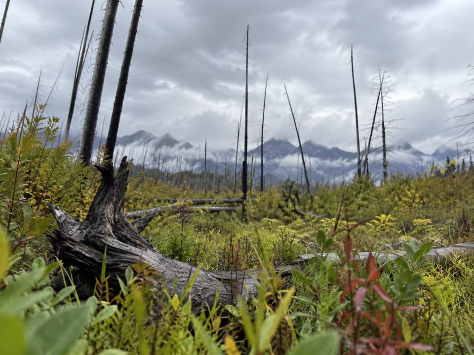
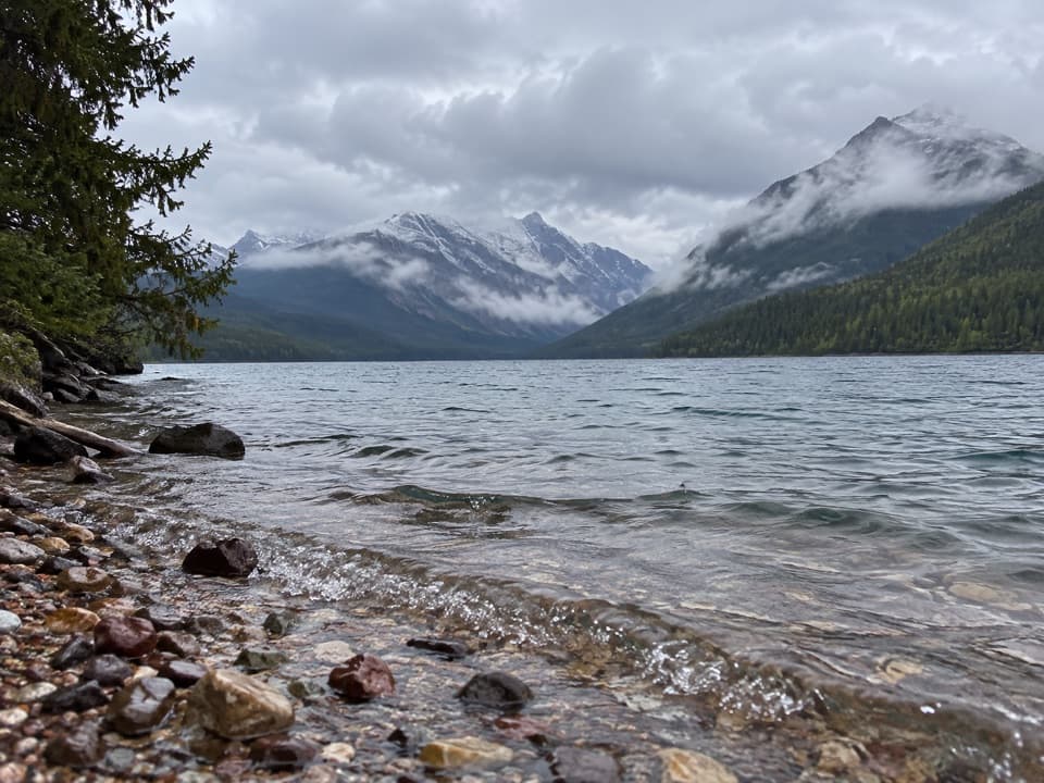
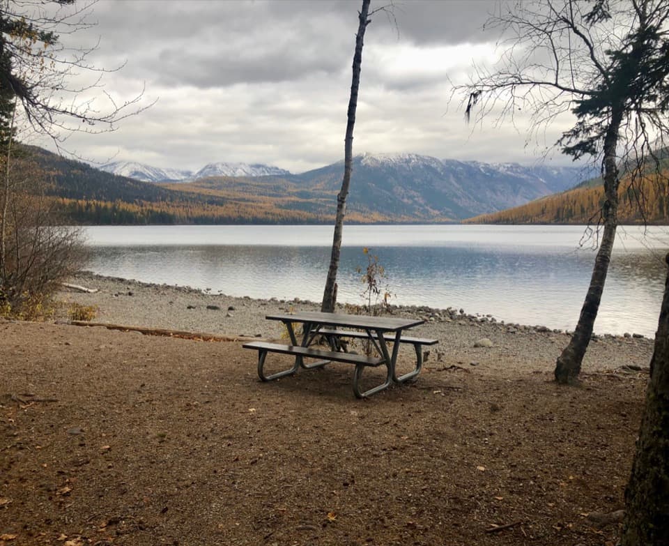
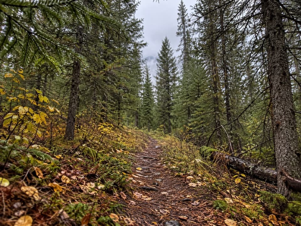
Kishenehn Creek Trail is an 8.2-mile out-and-back from the historic Patrol Cabin to the Canada–US boundary, about 4.1 miles each way. Allow roughly four to five hours for the spur itself. The path follows a creek-side forest corridor, opens into meadows near the end, and finishes at a broad strip cleared through the trees. I'd choose it for a remote, unhurried walk and that unusual border-line finish; it's a long way out for a simple turnaround.

Getting to the cabinThe cabin is not a drive-up trailhead.

The cabin is not a drive-up trailhead. Reaching it from Inside North Fork Road means first hiking the separate Kishenehn access trail; one account puts that approach at about 4.7 miles each way. With the creek spur, that is roughly 17.6 miles on foot round trip from the road. The access trail and creek-to-border spur are different routes, so the 8.2-mile figure here covers only the spur. Road and trail access were not confirmed for this visit; check current access before committing to this remote day.

Along the creekThe route stays in forest for much of the way, passing older stands before the terrain opens…

The route stays in forest for much of the way, passing older stands before the terrain opens into more frequent meadows toward the boundary. It climbs gradually overall, with about 390 feet of ascent reported for the outward 4.1-mile leg. The 181-point mapped line follows the creek corridor to the clearing; turn around at the boundary and retrace it.

Crossings and rulesThe creek spur is listed with two creek crossings.

The creek spur is listed with two creek crossings. Early in the season, North Fork crossings can be deep, swift and cold. The separate approach from the road also includes a multi-channel Kishenehn Creek ford, so assess that crossing before you start the spur. Pets are not allowed on park trails. Stop at the international boundary unless you have prior authorization to cross into Canada.

The border countryKishenehn Creek flows north into British Columbia.

Kishenehn Creek flows north into British Columbia. Regional history describes an older Kootenai travel route along this valley toward present-day British Columbia and Alberta, and the valley is also described as a wildlife corridor across the border. The wide, straight clearing at the end makes that north–south geography easy to see.

Wildlife

Wildlife in Glacier

All Glacier wildlife maps

Sighting maps show where each species has been reported across Glacier. Wildlife moves, so no sighting is guaranteed.

Parkwolf’s Glacier ranking

Top-rated trails in Glacier

All 157 trails
  1. 1Highline TrailChallenging · 11.8 mi
  2. 2Grinnell Glacier TrailChallenging · 10 mi
  3. 3Iceberg Lake TrailModerate · 9.6 mi
  4. 4Hidden Lake Overlook TrailModerate · 2.6 mi
  5. 5Avalanche Lake TrailModerate · 5 mi
  6. 6Trail of the CedarsEasy · 0.9 mi

Take Parkwolf to Glacier.

The audio tour guide for the drive, plus offline maps, trails, and wildlife heatmaps for when the signal drops.

4.7 from 8,600+ ratings

Download Parkwolf on the App StoreGet Parkwolf on Google Play