Boulder Pass Trail in Glacier National Park

Glacier National Park, MT

Boulder Pass Trail

Glacial lakes and two high passes on a 30-mile wilderness traverse.

Photo: Wikimedia Commons
Length
30.3mi
Time
1day
Elev. change
3,333ft
Difficulty
Challenging
  • No dogs
  • High point 7,421 ft
  • #37 of 157 in Glacier

Hear the audio tour

Kintla Lake

Overview

About Boulder Pass Trail

Why go

  • Kintla Lake, two high passes and three more alpine lakes in one traverse.
  • A true through-hike that finishes at Goat Haunt rather than retracing the approach.

Heads up

  • A long, steep backpacking commitment with no road exit.
  • The Goat Haunt finish needs a separate boat and border plan.

Map & elevation

The route

Loading the Glacier map
Full map
Elevation4,088–7,421 ft
TrailheadKintla Lake Campground48.93533, -114.35243
Keep this map with you offline in the Parkwolf app

Plan your hike

Before you go

Parking

Use the overnight backpacker parking area just before Kintla Lake Campground and start from the campground at the foot of the lake. The North Fork approach from Polebridge is a long, rough unpaved drive; four-wheel or all-wheel drive and the ability to change a tire are recommended. Polebridge is the only service stop in the area, and cell coverage is absent.

Safety

This remote through-route has no road exits between Kintla Lake and Goat Haunt. Overnight camping requires a wilderness permit. Kintla Creek can be cold and swift early in the season, Boulder Pass may hold snow into midsummer, and seasonal bridges are generally removed by late September. Confirm current boat and border logistics before setting out from the Kintla end.

1 active Glacier alert

  • ClosureTwo Medicine Campground closed for 2026 constructionTwo Medicine Campground is closed throughout 2026 because of construction in the Two Medicine developed area.Official details
Glacier alerts
A park ranger sits on a dash-mounted phone, talking, as Parkwolf’s Tour Guide plays “Army Cutworm Moths: A Grizzly Bear Buffet” on Grand Loop Road below Dunraven Pass in Yellowstone
Parkwolf Tour GuideThe highest, rockiest slopes around here are a summer buffet for grizzly bears.

Glacier Tour Guide

Your drive to Boulder Pass Trail, narrated.

Parkwolf is a GPS audio tour guide for Glacier National Park. As you drive, it chimes in with what’s ahead: hidden gems, upcoming stops, history, geology, and wildlife, right through your car’s speakers.

See the Glacier audio tour

Recorded for this trailhead

Kintla Lake
0:00 / 0:32
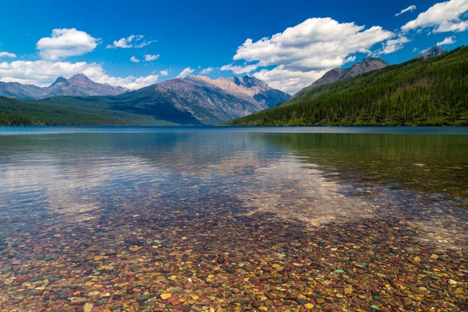
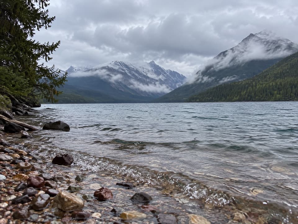
“Kintla Lake is ahead, with forested shores and mountains beyond the water. Head to the southwest shore by the campground to enjoy the clear shallows and colored stones without committing to a long hike.”

Plays as you drive up to this trailhead in the Parkwolf Glacier Tour Guide.

More stories near here in the app

  • Kishenehn South Trailhead
  • How Trees Record Avalanches
  • A Boulder Far from Home
  • The Little Case That Walks
  • 204 audio storiesacross Glacier’s roads, triggered by GPS as you drive
  • Wildlife heatmapsfor Grizzly Bear, Wolverine, Mountain Goat, and 13 more
  • Works offlinemaps, 157 trails, 91 places, and audio download before you lose signal
  • CarPlay readysimple controls built for the drive
★★★★★
“Our first time to glacier and we used the audio portion for Going to the Sun Road. Wonderful information with perfect advice of what to see and do along the road.”
PaisleyParkFanApp Store review
Download Parkwolf on the App StoreGet Parkwolf on Google Play

4.7 from 8,600+ ratings

Trail guide

Hiking Boulder Pass Trail

What the route coversBoulder Pass Trail is a 30.

Boulder Pass Trail is a 30.31-mile, one-way wilderness traverse from Kintla Lake Campground at the foot of Kintla Lake to Goat Haunt Ranger Station. It follows the lakeshore to Kintla Lake Head, climbs to Upper Kintla, crosses Boulder Pass and Brown Pass, then drops through Olson Creek Valley past Lake Francis and Lake Janet to Waterton Valley. Published totals differ by about a mile; this figure follows the full campground-to-Goat Haunt line. A useful planning estimate is about 24 hours of hiking, usually spread across three or four days depending on pace and the camps in your permit itinerary. This is a serious backpacking trip through remote country.

Arrange the finish before you startGoat Haunt has no road exit.

Goat Haunt has no road exit. The usual way to reach a vehicle is to take a boat from Goat Haunt to Waterton Marina in Canada. Check boat service and border requirements for your dates before you commit to the route. Overnight camping in the park requires a wilderness permit, and your assigned camps shape how far you walk each day. Pets are prohibited on park trails and in the backcountry.

Kintla Lake to Upper KintlaThe first 6.

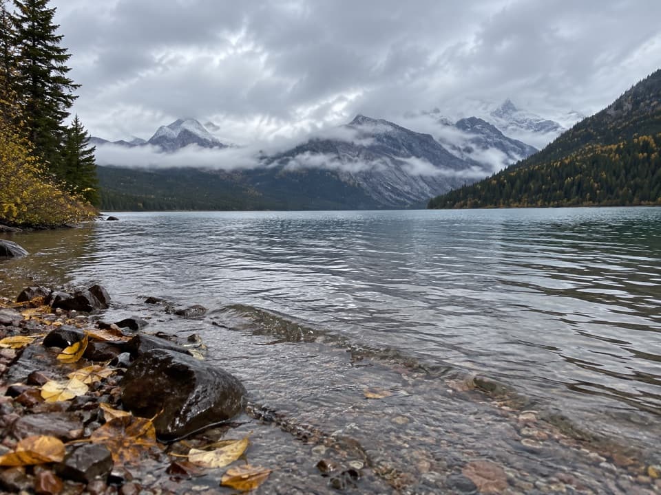
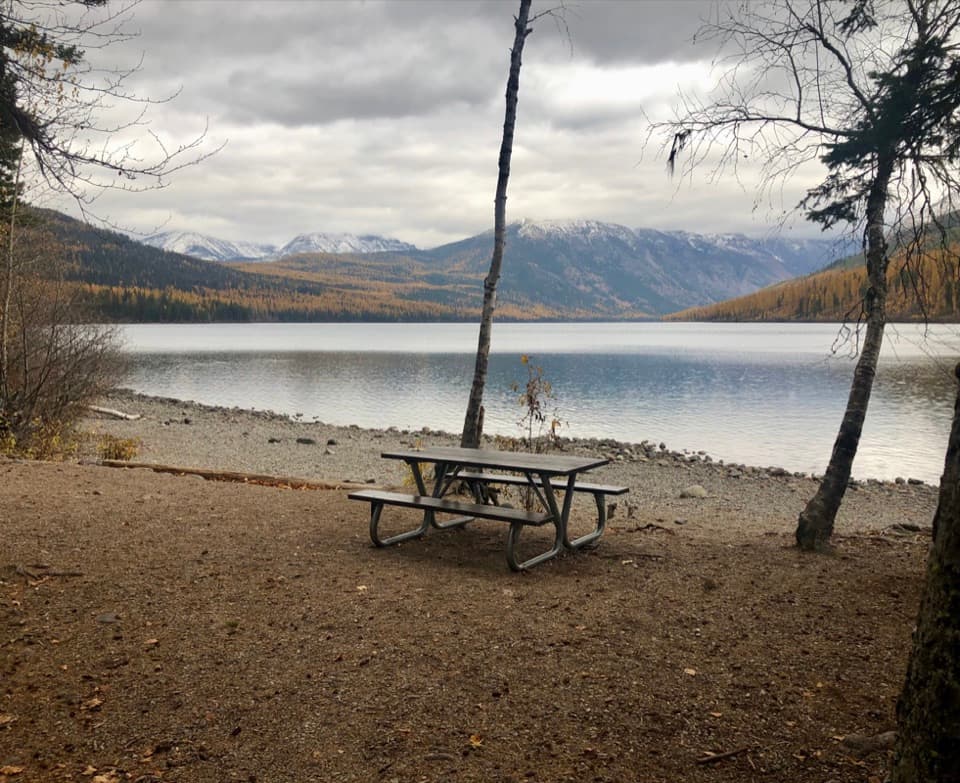
The first 6.55 miles follow Kintla Lake’s wooded shoreline from the campground to Kintla Lake Head. The walk rolls through forest and open meadows, with Kinnerly Peak and Kintla Peak across the water and Kintla Glacier visible from the approach. Another 5.13 miles lead to Upper Kintla Lake. These early miles are gentler than the climb ahead, and the lakeside camps make a natural first night.

The climb over Boulder PassAbove Upper Kintla, the trail crosses Kintla Creek and climbs the west slope of Gardner Point…

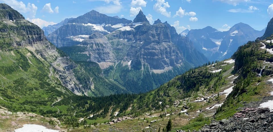
Above Upper Kintla, the trail crosses Kintla Creek and climbs the west slope of Gardner Point on long switchbacks. The steepest push gains roughly 3,000 feet in a little over three miles. Boulder Pass is an open high-country traverse about two miles long, not a single summit. Small tarns and smooth, gray, glacially polished rock sit beneath a high point near 7,478 feet. Looking back brings Kinnerly and Kintla peaks and Agassiz Glacier into view; ahead, the route faces Thunderbird Mountain, Hole in the Wall and Mount Cleveland. Snow can linger on the pass into early or midsummer. The rough Boulder Pass Overlook spur follows a moraine and adds about two miles round trip; it is separate from the through-route mileage.

Hole in the Wall and Brown PassThe east side of Boulder Pass drops down a steep headwall into the greener Hole in the Wall…

The east side of Boulder Pass drops down a steep headwall into the greener Hole in the Wall cirque. From the campground junction, the route continues toward Brown Pass, around mile 21 from Kintla. Brown Pass is about 6,255 feet high; beyond it the trail descends above Thunderbird Creek. This is still remote backcountry with no road exit, so keep your food, water treatment and camp plan in mind as you leave each basin.

Olson Creek Valley to Goat HauntThe trail works down Olson Creek Valley past Thunderbird Pond, Lake Francis and Lake Janet,…

The trail works down Olson Creek Valley past Thunderbird Pond, Lake Francis and Lake Janet, then enters Waterton Valley for the finish at Goat Haunt Ranger Station. Lake Francis and Lake Janet are steep-sided mountain lakes rather than roadside stops, and the long descent gives the route a very different feel from the exposed pass country. Polebridge is the only service stop in the North Fork area; there is no cell signal on this approach. Early in the season, Kintla Creek can be cold and swift, high trails can hold snow, and seasonal bridges are generally removed by late September.

Wildlife

Wildlife in Glacier

All Glacier wildlife maps

Sighting maps show where each species has been reported across Glacier. Wildlife moves, so no sighting is guaranteed.

Keep exploring

Near Boulder Pass Trail

See it all on the map

Trails that start nearby

Places near the trailhead

Parkwolf’s Glacier ranking

Top-rated trails in Glacier

All 157 trails
  1. 1Highline TrailChallenging · 11.8 mi
  2. 2Grinnell Glacier TrailChallenging · 10 mi
  3. 3Iceberg Lake TrailModerate · 9.6 mi
  4. 4Hidden Lake Overlook TrailModerate · 2.6 mi
  5. 5Avalanche Lake TrailModerate · 5 mi
  6. 6Trail of the CedarsEasy · 0.9 mi

Take Parkwolf to Glacier.

The audio tour guide for the drive, plus offline maps, trails, and wildlife heatmaps for when the signal drops.

4.7 from 8,600+ ratings

Download Parkwolf on the App StoreGet Parkwolf on Google Play