Parking
Start at Bowman Lake Ranger Station beside the lake. Follow the Bowman Lake Trail along the west shore for about 0.65 mile to the Numa Ridge junction, then take the climbing trail. A seasonal restroom is available at the trailhead.

Glacier National Park, MT
A lakeshore start leads to a long, steep climb and big views.
Overview
Numa Ridge Lookout Trail is an out-and-back from Bowman Lake Ranger Station to a seasonally staffed fire lookout above the lake. Plan for about 11.4 miles round trip, including the shoreline approach to the Numa Ridge junction, and allow eight to nine hours with breaks. The reward is a high view over Bowman Lake toward Rainbow Peak and the Livingston Range. This is a good choice if a long, steep forest climb is part of the appeal; skip it if you want frequent views or a short outing.
 Parkwolf’s verdictIs it worth the long climb?
Map & elevation
Plan your hike

The highest, rockiest slopes around here are a summer buffet for grizzly bears.
Glacier Tour Guide
Parkwolf is a GPS audio tour guide for Glacier National Park. As you drive, it chimes in with what’s ahead: hidden gems, upcoming stops, history, geology, and wildlife, right through your car’s speakers.
See the Glacier audio tourRecorded for this trailhead
Bowman Lake“You’re nearing Bowman Lake, an eight-mile stretch of water framed by forest and mountain ridges. You don’t need a long hike here: head to the shore for the view, then settle in for a picnic or a little lakeside walking.”
Plays as you drive up to this trailhead in the Parkwolf Glacier Tour Guide.
More stories near here in the app
“Our first time to glacier and we used the audio portion for Going to the Sun Road. Wonderful information with perfect advice of what to see and do along the road.”


Trail guide
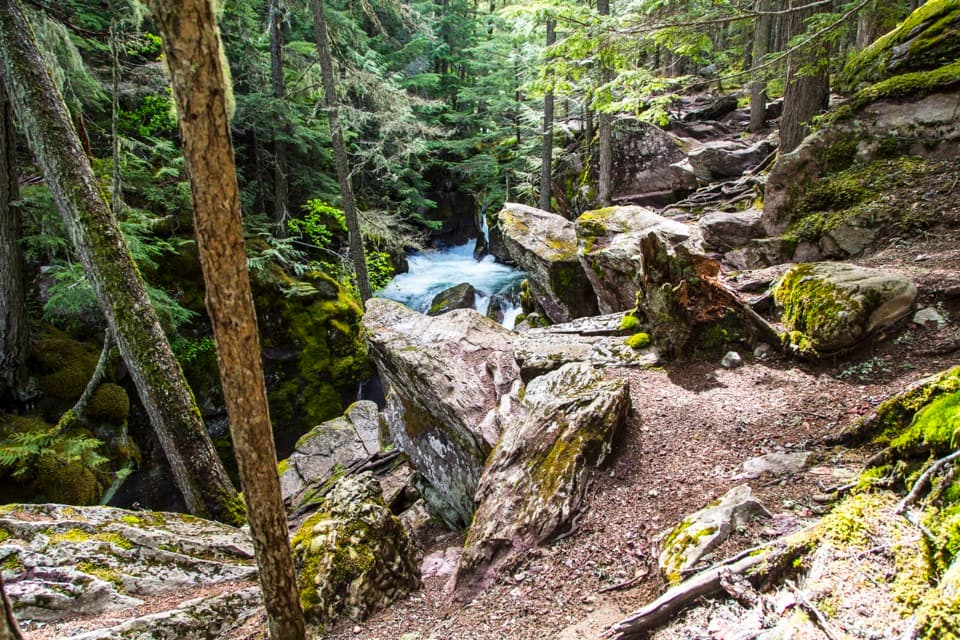
The first half-mile stays relatively level along the lake shore. At the Numa Ridge junction, turn left and leave the shoreline for the climb. The lake and surrounding peaks are the last open views for a while; the next several miles pass through tall forest, with little to look out at until a small saddle and pond.
Beyond the pond, the grade gets more sustained. The forest changes and shortens as the trail gains the upper ridge, where views of Bowman Lake start appearing behind you. Short switchbacks lead to the lookout. The fire tower is the destination, not a trailhead for another summit: from up here, Bowman Lake stretches below the wooded hills and Rainbow Peak stands across the water.
Expect roughly 3,400 feet of climbing, with about 500 feet of descent along the way. There is no water at the lookout, and the restroom at Bowman Lake Ranger Station is seasonal. Pets aren’t allowed on Glacier trails. Snow can linger on high slopes after lower elevations clear, so check the park’s current trail and road status before setting out. The drive to Bowman Lake uses an unpaved road.
Wildlife
 404 sightingsGrizzly BearMost seen around 6 AMSighting map
 11 sightingsWolverineMost seen around 8 PMSighting map
 1,173 sightingsMountain GoatMost seen around 6 AMSighting map
 1,000 sightingsBighorn SheepMost seen around 6 AMSighting map
 395 sightingsMooseMost seen around 6 AMSighting map
 506 sightingsBlack BearMost seen around 8 PMSighting map
Sighting maps show where each species has been reported across Glacier. Wildlife moves, so no sighting is guaranteed.
Keep exploring
 ModerateBowman Lake Trail to Bowman Lake Head14.2 mi · 8 hr · At the trailheadA long return walk follows Bowman Lake's shore to its head.
 ChallengingHole in the Wall Trail30.8 mi · 20 hr · 0.1 mi awayA long backpacking route ends at a waterfall-lined hanging basin
 ModerateAkokala Lake Trail11.6 mi · 6.5 hr · 0.1 mi awayA long forest walk ends at a small lakeside beach under peaks.
 ChallengingBrown Pass Trail via Bowman Lake27.6 mi · 13 hr · 0.1 mi awayA long lakeshore walk climbs to open views at Brown Pass.
 ChallengingLower Quartz Lake Trail7.5 mi · 6 hr · 0.2 mi awayA steep climb to a backcountry lake in the remote North Fork.
 ChallengingQuartz Lake Trail12 mi · 8 hr · 0.2 mi awayA full-day out-and-back for a ridge climb and a remote lake.
 ChallengingQuartz Lake Loop Trail13.1 mi · 7.5 hr · 0.2 mi awayThree secluded lakes, a high ridge, and a full day on foot.
 EasyCovey Meadow Loop Trail1.6 mi · 45 min · 5 mi awayA short meadow loop with Livingston Range views and homestead history.
 Sight · 0.1 mi awayBowman LakeA broad mountain lake reached by a slow North Fork backroad.
 Campground · 0.1 mi awayBowman Lake CampgroundA pine-shaded lake base, if you can handle the long, rough road.
 Ranger station · 4.8 mi awayPolebridge Ranger StationRanger advice and boat checks before you head into the North Fork.
 Store · 5.9 mi awayPolebridge Mercantile & BakeryA 1914 North Fork mercantile with huckleberry bear claws.
 Campground · 7.5 mi awayQuartz Creek CampgroundA primitive North Fork base camp near the Lower Quartz Lake trail.
 Campground · 9.2 mi awayLogging Creek CampgroundSeven primitive creekside sites near the Logging Lake trail.
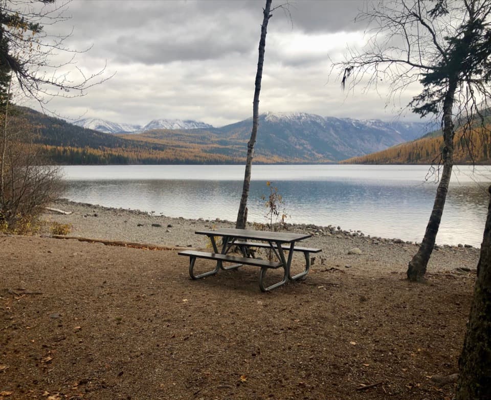 Campground · 9.8 mi awayKintla Lake CampgroundA lakeside camp for those willing to take the long dirt road.
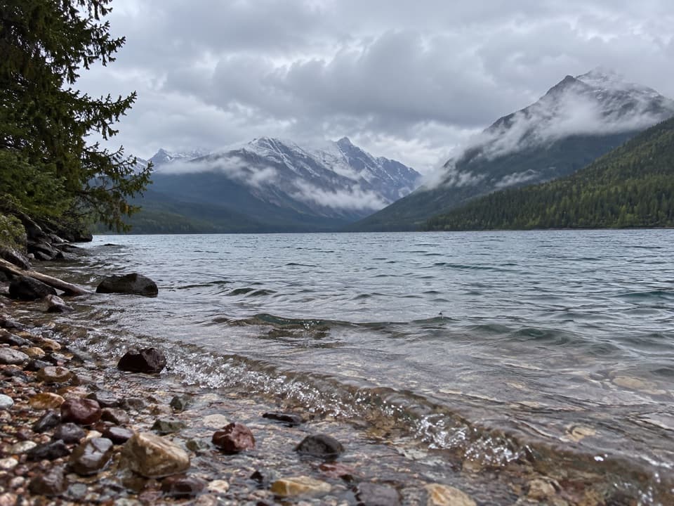 Sight · 9.8 mi awayKintla LakeA rough North Fork road leads to a quiet mountain lake.
Parkwolf’s Glacier ranking
The audio tour guide for the drive, plus offline maps, trails, and wildlife heatmaps for when the signal drops.