Parking
Kintla Lake Trailhead, about 0.25 mile west of Kintla Lake Campground, at the western end of the route. Reach it from Polebridge via the North Fork roads. Parking capacity and fees were not confirmed.
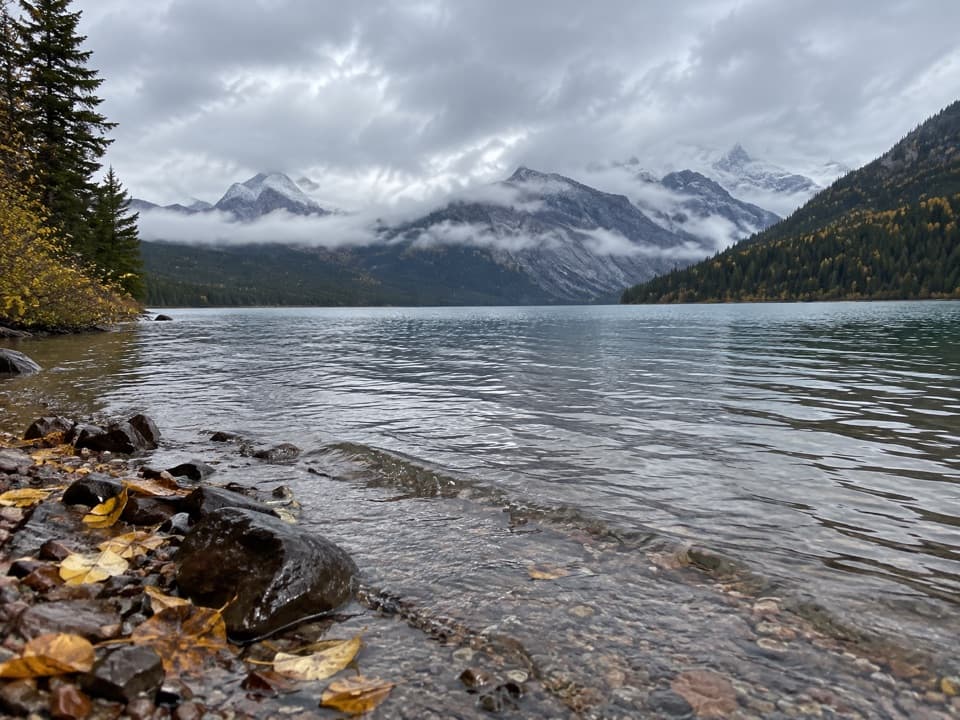
Glacier National Park, MT
A 23-mile lakeshore out-and-back to Upper Kintla's backcountry camp.
Overview
This is the 23.2-mile out-and-back from Kintla Lake to Upper Kintla Lake Campground on Glacier's Boulder Pass Trail. The mapped corridor is about 11.6 miles one way; allow 11–13 hours with stops. It is a long, mostly rolling backcountry day, not a short lake stroll. If 23 miles is too much, the Kintla Lake Head turnaround at the far end of the lower lake is about 6.3–6.6 miles each way. That option returns before the open interlake meadows and Upper Kintla shore.
 Parkwolf’s verdictIs this the hike for you?
Map & elevation
Plan your hike

The highest, rockiest slopes around here are a summer buffet for grizzly bears.
Glacier Tour Guide
Parkwolf is a GPS audio tour guide for Glacier National Park. As you drive, it chimes in with what’s ahead: hidden gems, upcoming stops, history, geology, and wildlife, right through your car’s speakers.
See the Glacier audio tourRecorded for this trailhead
Kintla Lake“Kintla Lake is ahead, with forested shores and mountains beyond the water. Head to the southwest shore by the campground to enjoy the clear shallows and colored stones without committing to a long hike.”
Plays as you drive up to this trailhead in the Parkwolf Glacier Tour Guide.
More stories near here in the app
“Our first time to glacier and we used the audio portion for Going to the Sun Road. Wonderful information with perfect advice of what to see and do along the road.”


Trail guide
From the western trailhead, the route follows the north shore of long, narrow Kintla Lake to its head. This section is described as mostly level with a few hills, and Kinnerly Peak comes into view as you approach the far end. The separate Kintla Lake Head day hike ends here, near the lower lake's backcountry campground; it does not continue to Upper Kintla.
Beyond the lower lake head, the trail runs about 2.7 miles through partly forested country and open meadows toward Upper Kintla. The openings bring views of Kinnerly and Kintla peaks. Published descriptions leave the exact tread and crossings here unclear, so check the current trail report before committing to the full return rather than assuming the gradual profile guarantees easy footing.
The route follows Upper Kintla Lake's north shore to the campground near the lake's head. From there, Kinnerly Peak rises from the south shore, with Kintla Glacier and Gardner Point farther off. The lakeside campground is the day's destination; turn back here. Kintla Creek and the steep climb toward Boulder Pass come just beyond it and belong to the longer through-route. At the Upper Kintla shore, include water in the foreground with Kinnerly Peak across the lake.
Kintla Lake Trailhead is about a quarter mile west of Kintla Lake Campground and is reached from Polebridge through the North Fork roads. Parking capacity and fees were not confirmed. Pets are not allowed on Glacier trails or in the backcountry. A wilderness permit is required if you stay overnight at Upper Kintla Campground. Glacier recommends carrying accessible bear spray in bear country. Early-season trails can be muddy or wet, with high, cold water and lingering snow; snow can return in fall, so check current road and trail conditions before the remote drive.
Wildlife
 404 sightingsGrizzly BearMost seen around 6 AMSighting map
 11 sightingsWolverineMost seen around 8 PMSighting map
 1,173 sightingsMountain GoatMost seen around 6 AMSighting map
 1,000 sightingsBighorn SheepMost seen around 6 AMSighting map
 395 sightingsMooseMost seen around 6 AMSighting map
 506 sightingsBlack BearMost seen around 8 PMSighting map
Sighting maps show where each species has been reported across Glacier. Wildlife moves, so no sighting is guaranteed.
Keep exploring
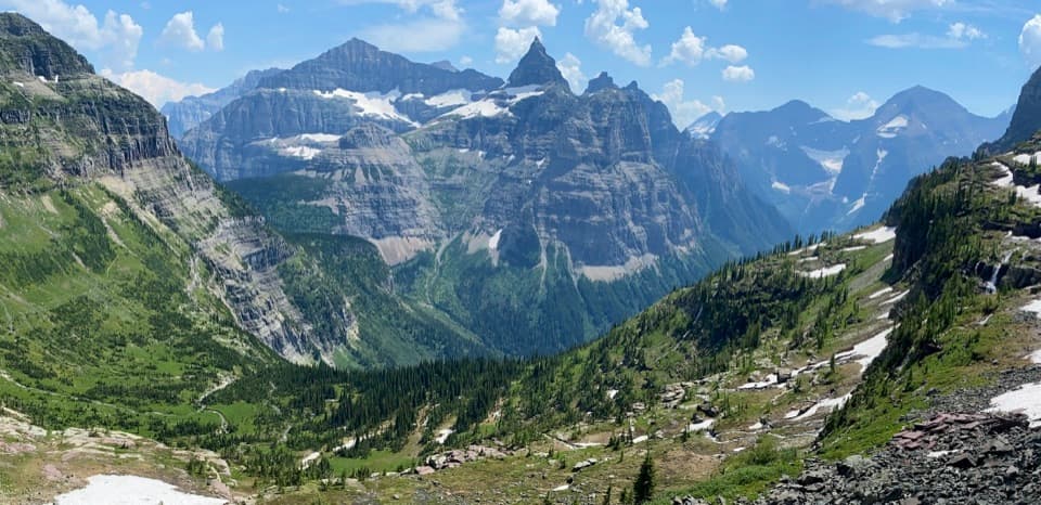 ChallengingBoulder Pass Trail30.3 mi · 1 day · At the trailheadGlacial lakes and two high passes on a 30-mile wilderness traverse.
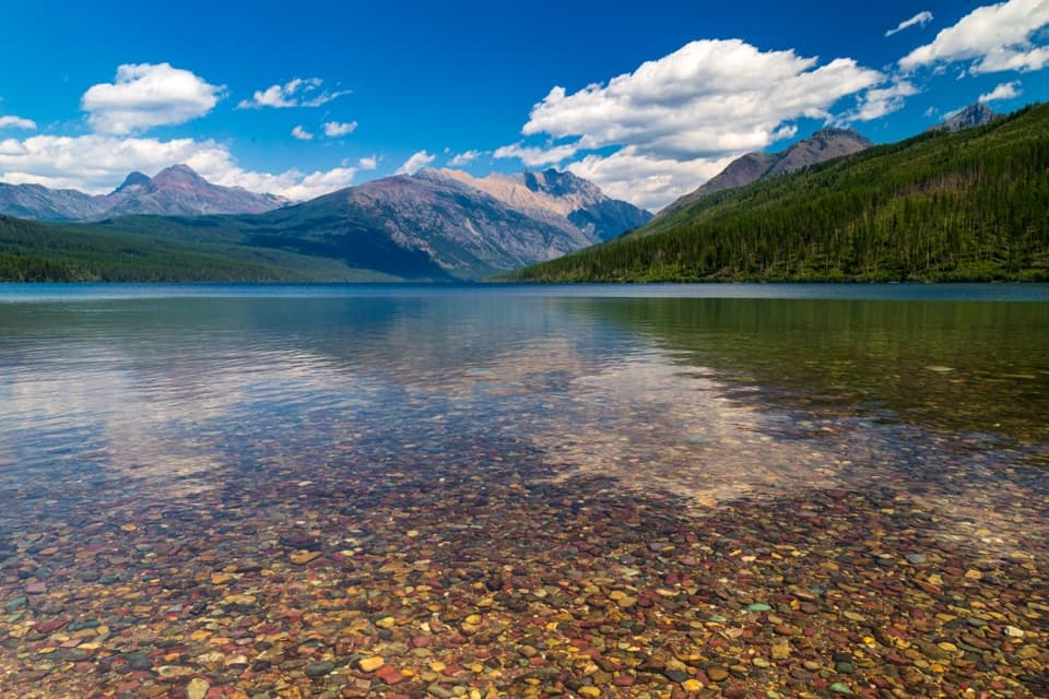 ModerateKintla Lake Head Trail13.2 mi · 6.5 hr · At the trailheadLong forested shore leads to a remote camp at the lake’s head.
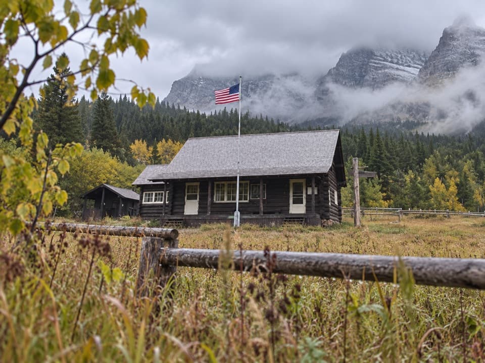 ChallengingKishenehn Trail9.6 mi · 5.5 hr · 1.3 mi awayA remote riverside walk to an isolated historic ranger station.
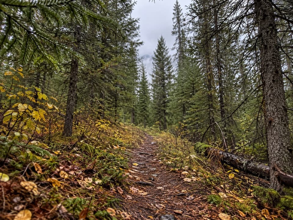 ModerateKishenehn Creek Trail8.2 mi · 4.5 hr · 3.6 mi awayFollow a quiet creek corridor to the stark border clearing.
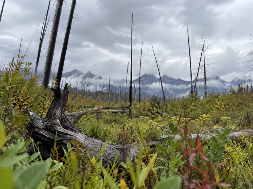 ChallengingAkokala Creek Trail17.8 mi · 11 hr · 6.8 mi awayA long, rough North Fork route reaches Akokala Lake from the west.
 ModerateAkokala Lake Trail11.6 mi · 6.5 hr · 9.9 mi awayA long forest walk ends at a small lakeside beach under peaks.
 ChallengingNuma Ridge Lookout Trail11.4 mi · 8.5 hr · 9.9 mi awayA lakeshore start leads to a long, steep climb and big views.
 ModerateBowman Lake Trail to Bowman Lake Head14.2 mi · 8 hr · 9.9 mi awayA long return walk follows Bowman Lake's shore to its head.
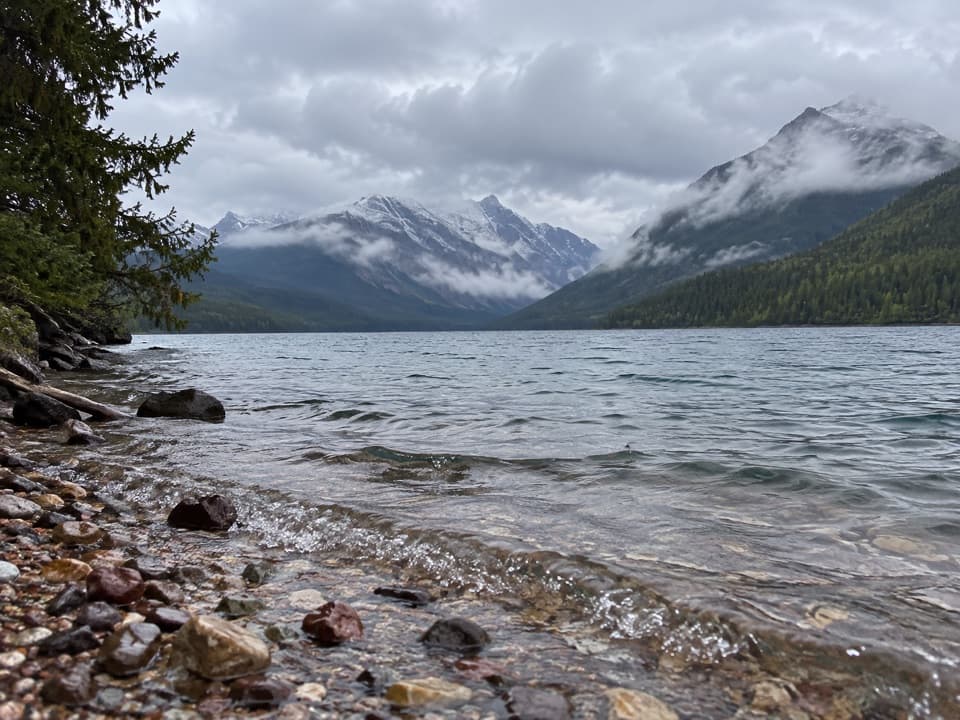 Sight · 0.3 mi awayKintla LakeA rough North Fork road leads to a quiet mountain lake.
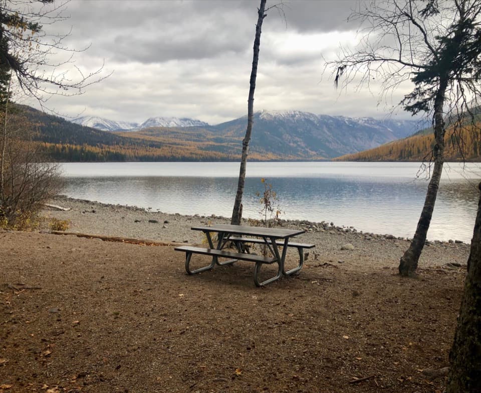 Campground · 0.3 mi awayKintla Lake CampgroundA lakeside camp for those willing to take the long dirt road.
 Sight · 10 mi awayBowman LakeA broad mountain lake reached by a slow North Fork backroad.
 Campground · 10 mi awayBowman Lake CampgroundA pine-shaded lake base, if you can handle the long, rough road.
Parkwolf’s Glacier ranking
The audio tour guide for the drive, plus offline maps, trails, and wildlife heatmaps for when the signal drops.





