Parking
Begin at the Bertha Trailhead parking lot on Evergreen South, about 350 metres south of Cameron Falls in Waterton townsite.
Glacier National Park, MT
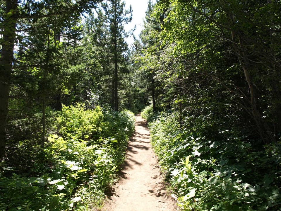
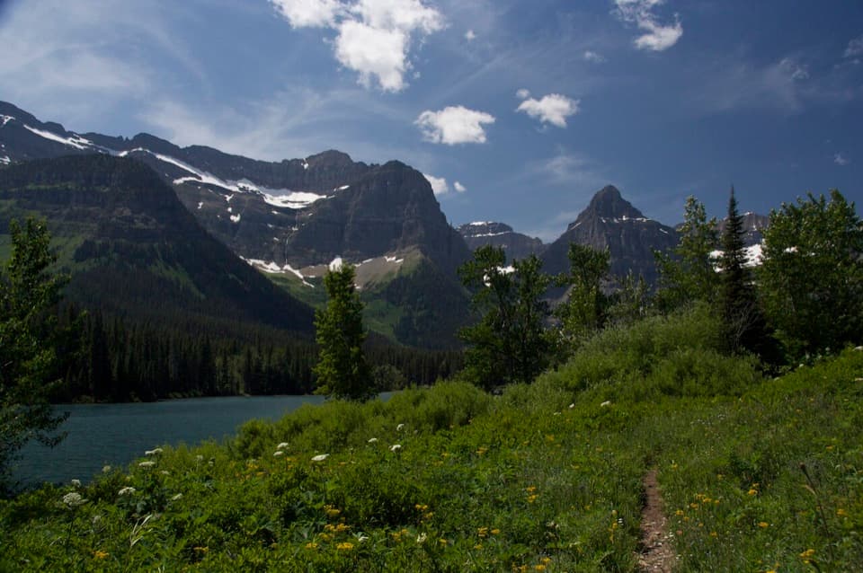
A wooded lakeshore crossing from Waterton to Glacier’s Goat Haunt.
Overview
Map & elevation
Plan your hike

The highest, rockiest slopes around here are a summer buffet for grizzly bears.
Glacier Tour Guide
Parkwolf is a GPS audio tour guide for Glacier National Park. As you drive, it chimes in with what’s ahead: hidden gems, upcoming stops, history, geology, and wildlife, right through your car’s speakers.
See the Glacier audio tour“Our first time to glacier and we used the audio portion for Going to the Sun Road. Wonderful information with perfect advice of what to see and do along the road.”


Trail guide
The Lakeshore Trail is an 8.4-mile (13.5-kilometer) point-to-point hike from Bertha Trailhead in Waterton Lakes National Park to Goat Haunt in Glacier National Park. Allow about four hours one way. The route climbs from town to a viewpoint over Upper Waterton Lake, then follows the lake south past Bertha Bay and Boundary Bay and across the international border. Forest covers much of the way, so lake and mountain views come in breaks rather than as a constant panorama.
Start at the Bertha Trailhead parking lot on Evergreen South. A moderate climb brings you to a viewpoint over Upper Waterton Lake; from there the Lakeshore route turns south. It passes Bertha Bay, then Boundary Bay, where the Boundary Creek Trail branches off, before continuing into the United States. Small water crossings are part of the walk.
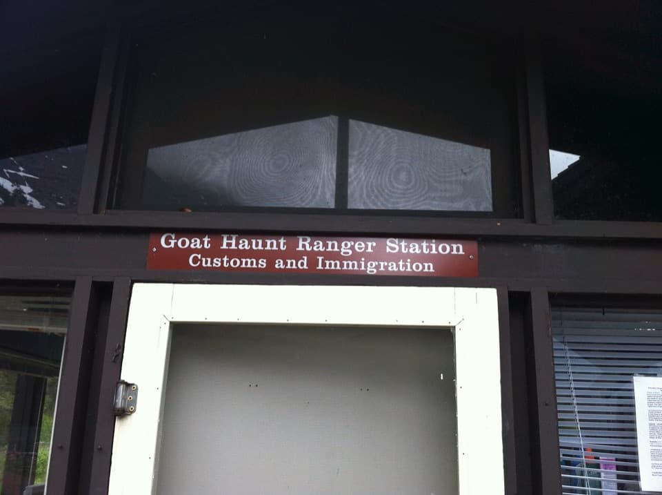
This is a one-way hike to remote Goat Haunt, which has no road access. Arrange a return boat trip in advance or walk the same route back for a 27-kilometer round trip. Hikers crossing into the United States need a valid passport and must report their entry to U.S. Customs and Border Protection through CBP ROAM on the day they cross; report re-entry to Canada to CBSA as well. Dogs are not allowed on trails in Glacier, so pets cannot go on this cross-border route.
If the border logistics or one-way distance are too much, the Bertha Falls out-and-back from this trailhead is about 5.2 kilometers return. The longer Bertha Lake branch is about 10.4 kilometers return and stays in Waterton.
Wildlife
 404 sightingsGrizzly BearMost seen around 6 AMSighting map
 11 sightingsWolverineMost seen around 8 PMSighting map
 1,173 sightingsMountain GoatMost seen around 6 AMSighting map
 1,000 sightingsBighorn SheepMost seen around 6 AMSighting map
 395 sightingsMooseMost seen around 6 AMSighting map
 506 sightingsBlack BearMost seen around 8 PMSighting map
Sighting maps show where each species has been reported across Glacier. Wildlife moves, so no sighting is guaranteed.
Keep exploring
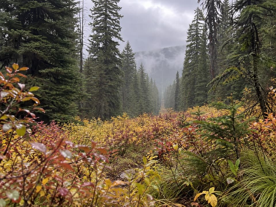 ModerateNorth Boundary Trail5.3 mi · 4 hr · 3.6 mi awayA remote creek corridor ends at the international boundary.
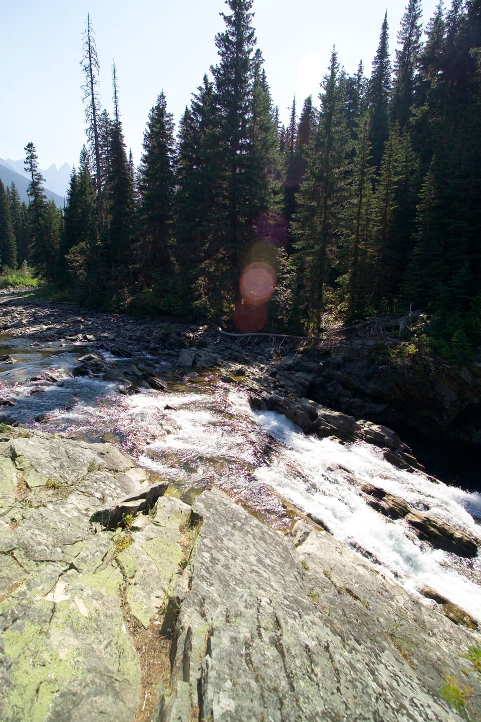 EasyRainbow Falls Trail2 mi · 1 hr · 6.2 mi awayA short forest walk ends at a waterfall beneath high peaks.
 ModerateKootenai Lakes Trail5.6 mi · 3 hr · 6.2 mi awayA remote forest walk opens onto Kootenai Lakes beneath the Citadel Peaks.
 ModerateLake Janet Trail6.6 mi · 3.8 hr · 6.2 mi awayA suspension bridge and a long climb lead to Lake Janet.
 ChallengingLake Francis Trail12.6 mi · 8 hr · 6.3 mi awayA long backcountry walk ends at a lake below The Sentinel.
 ModerateGoat Haunt Overlook Trail2 mi · 1.8 hr · 6.3 mi awayA short, steep climb to a former lookout above Waterton Valley
 ChallengingPorcupine Lookout Trail10 mi · 8 hr · 9.5 mi awayA remote ridge climb to Glacier's old fire lookout.
 ChallengingBear Mountain Lookout Trail4 mi · 4 hr · 11.2 mi awayA steep climb to big lake views and a historic lookout site.
Parkwolf’s Glacier ranking

The audio tour guide for the drive, plus offline maps, trails, and wildlife heatmaps for when the signal drops.