Parking
There is no road-access lot at the spur. Reach its junction on the Stoney Indian Pass Trail, about half a mile east of Cosley Lake Campground, as part of a longer Belly River backcountry hike.

Glacier National Park, MT
A steep climb to big lake views and a historic lookout site.
Overview
Bear Mountain Lookout Trail is a steep 2.0-mile climb from the Stoney Indian Pass Trail junction to the former lookout site. The mapped line follows the climb one way; hike it back the same way for 4 miles and about 1,350 feet of climbing. Allow about four hours at the spur for the switchbacks and time at the view. This is a hard backcountry side trip, not a road-access day hike: the junction is reached on a longer walk through the Belly River area. The 4-mile figure covers the spur only. From Cosley Lake Campground, about half a mile from the junction, add roughly a mile for the walk there and back.
 Parkwolf’s verdictIs this spur for you?
Map & elevation
Plan your hike

The highest, rockiest slopes around here are a summer buffet for grizzly bears.
Glacier Tour Guide
Parkwolf is a GPS audio tour guide for Glacier National Park. As you drive, it chimes in with what’s ahead: hidden gems, upcoming stops, history, geology, and wildlife, right through your car’s speakers.
See the Glacier audio tourMore stories near here in the app
“Our first time to glacier and we used the audio portion for Going to the Sun Road. Wonderful information with perfect advice of what to see and do along the road.”


Trail guide
The path leaves the forest-and-meadow floor near the Mokowanis River and climbs a southwestern ridge in many switchbacks. Trees thin as the upper slope turns dry and rocky, with cliffs and rock formations along the way. The short mileage understates the effort: most of the climb is packed into the two-mile ascent. The route ends at the former lookout site, not a standing tower or built platform.
From the rocky viewpoint, look south and west over Cosley and Glenns lakes in the Mokowanis drainage toward Mount Merritt, Mount Cleveland and the high cirque. To the east are Chief Mountain, Gable Mountain and the Belly River. Red bands on Gable Mountain line up with bands near the top of Chief Mountain from this angle. For a photo, include both lakes and some of the rocky foreground to show how high the viewpoint sits above the valley.
A fire lookout stood here from 1935 until it was destroyed in 1965. The lakes and surrounding ridges are the lasting payoff; there is no lookout building to visit.
Start the mapped spur where it leaves the Stoney Indian Pass Trail, about half a mile east of Cosley Lake Campground. There is no road-access parking at this point; reach it on foot as part of a longer backcountry outing. Overnight camping in Glacier requires a wilderness permit, and pets are not allowed on park trails or in the backcountry. Early-season snow, mud and cold crossings can affect the approach; autumn snow may obscure the trail, and seasonal bridges are often removed by late September. Check current trail and road status before committing to the long approach.
Wildlife
 404 sightingsGrizzly BearMost seen around 6 AMSighting map
 11 sightingsWolverineMost seen around 8 PMSighting map
 1,173 sightingsMountain GoatMost seen around 6 AMSighting map
 1,000 sightingsBighorn SheepMost seen around 6 AMSighting map
 395 sightingsMooseMost seen around 6 AMSighting map
 506 sightingsBlack BearMost seen around 8 PMSighting map
Sighting maps show where each species has been reported across Glacier. Wildlife moves, so no sighting is guaranteed.
Keep exploring
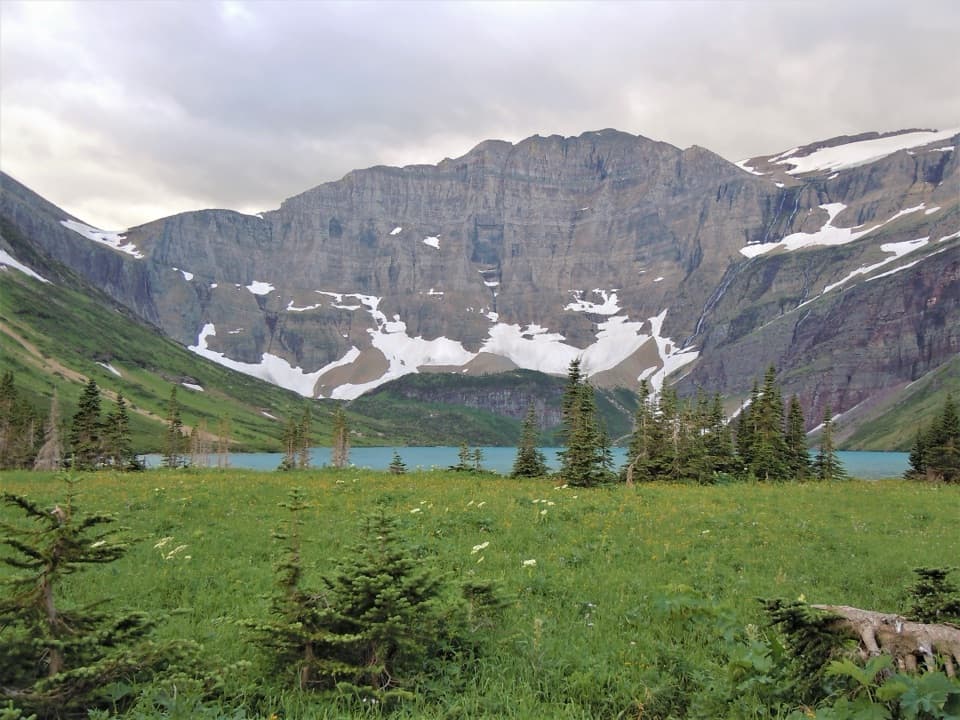 ModerateHelen Lake Trail4.3 mi · 3 hr · 2.8 mi awayA remote lake below Ahern's headwall, well inside the backcountry.
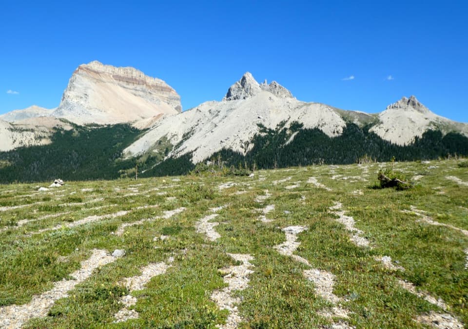 ChallengingLee Ridge Trail12 mi · 8 hr · 6 mi awayA long forest climb opens to alpine stripes and cairns
 ChallengingGable Pass Trail13.6 mi · 9 hr · 6 mi awayA long Lee Ridge climb to a steep, rocky pass.
 ChallengingNorth Fork Belly River Trail18.7 mi · 12 hr · 6 mi awayFaint tread and a river ford lead to a remote North Fork.
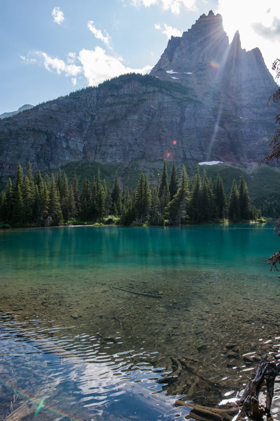 ChallengingMokowanis Lake Trail28.8 mi · 15 hr · 6 mi awayA long valley walk to a lake beneath Pyramid Peak.
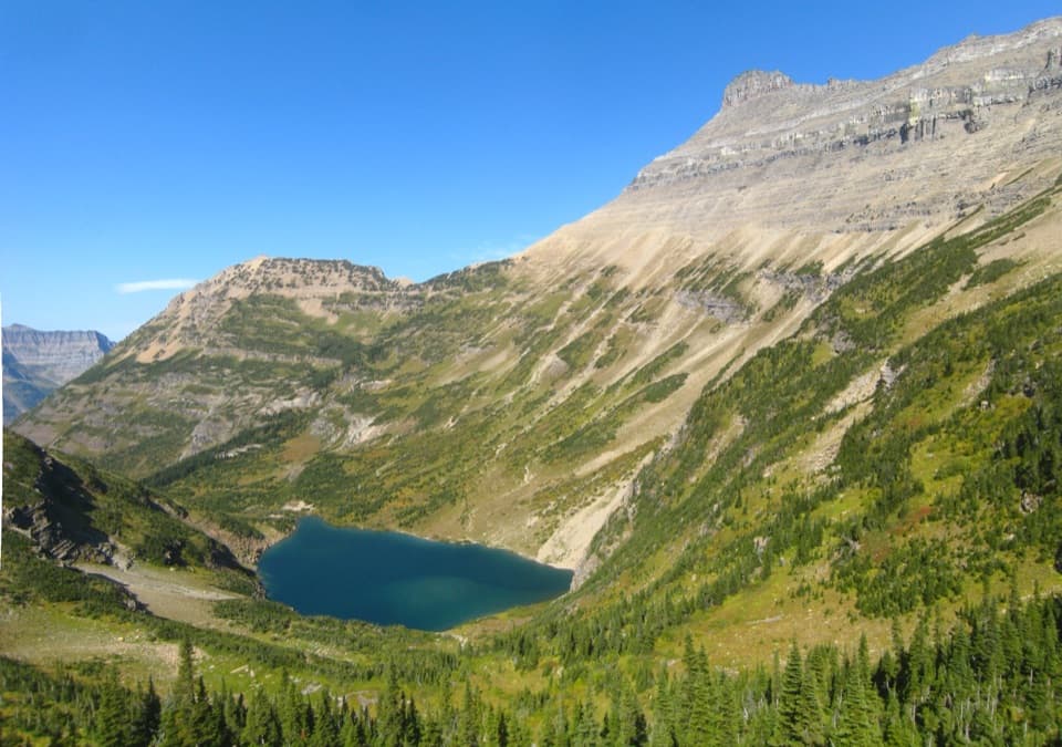 ChallengingStoney Indian Pass Trail26.7 mi · 17 hr · 6.1 mi awayA high pass links two remote valleys and drops into Goat Haunt.
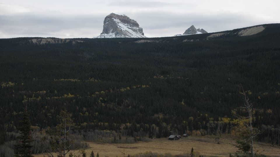 ModerateBelly River Trail12.2 mi · 6.5 hr · 6.1 mi awayA daylong valley walk to a meadow beneath Chief Mountain.
 ChallengingElizabeth Lake Trail18.6 mi · 10 hr · 6.1 mi awayA full day along Belly River ends at Elizabeth Lake.
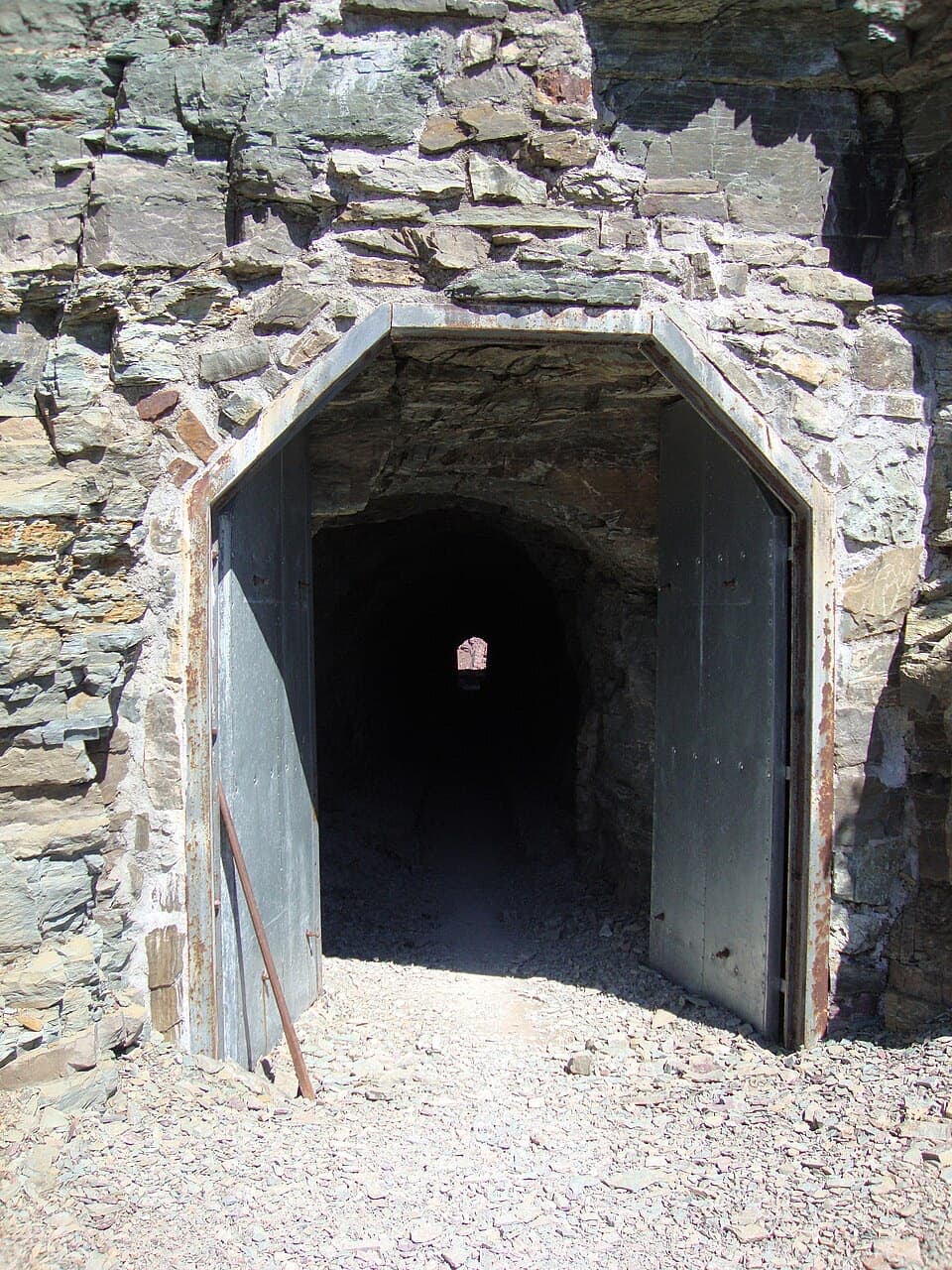 Sight · 5.8 mi awayPtarmigan TunnelA historic tunnel with a long climb and a sudden new view.
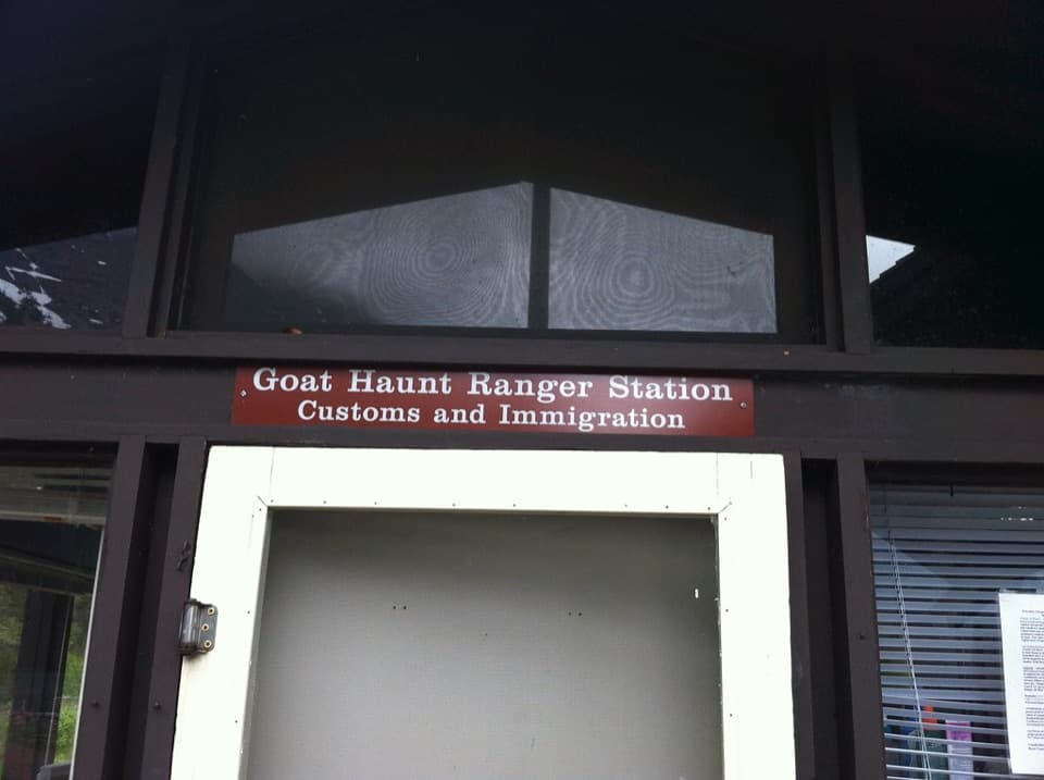 Sight · 6.9 mi awayGoat HauntA remote boat landing where two parks share one glacial valley.
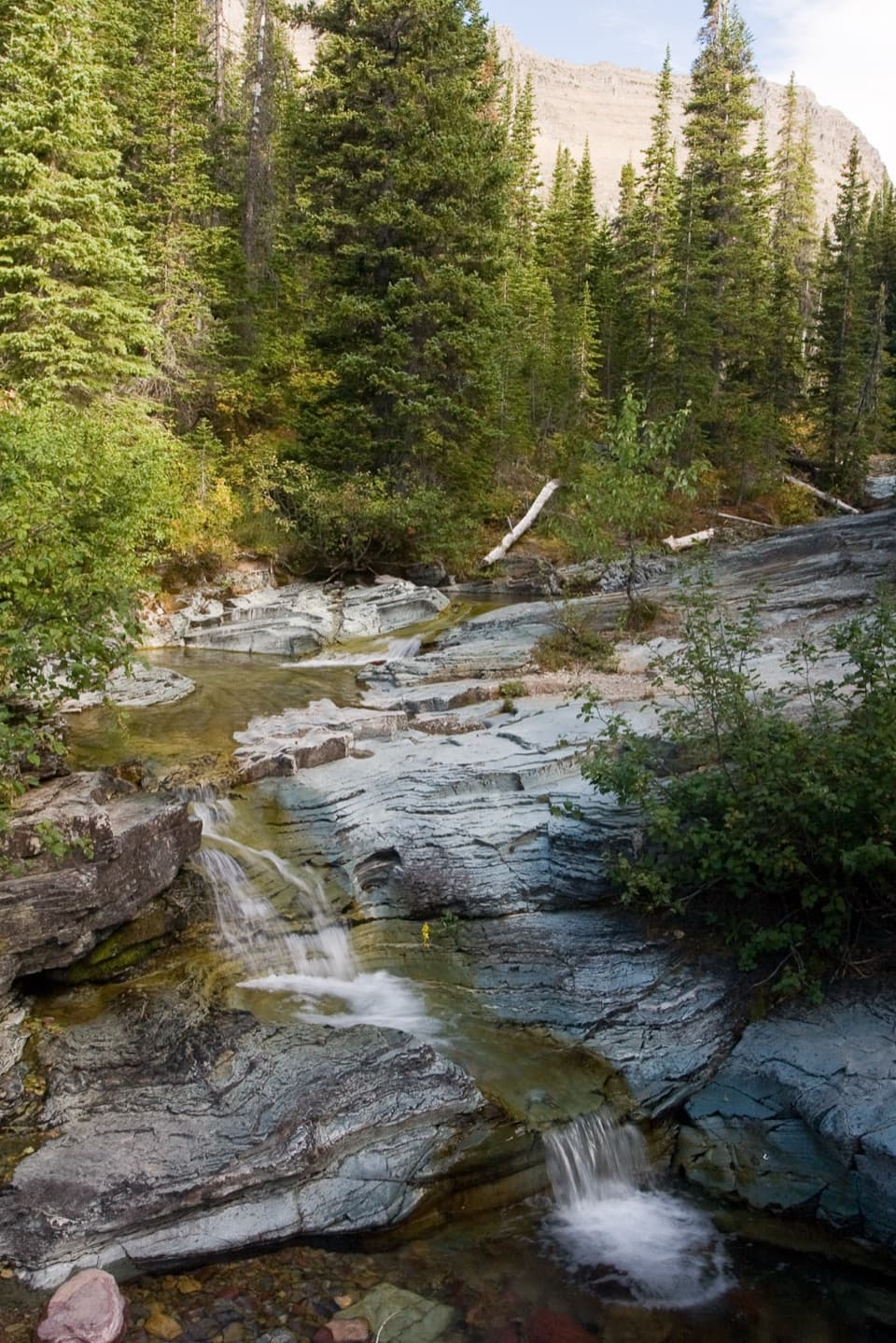 Sight · 7.7 mi awayPtarmigan FallsA waterfall break on the long hike toward Iceberg Lake.
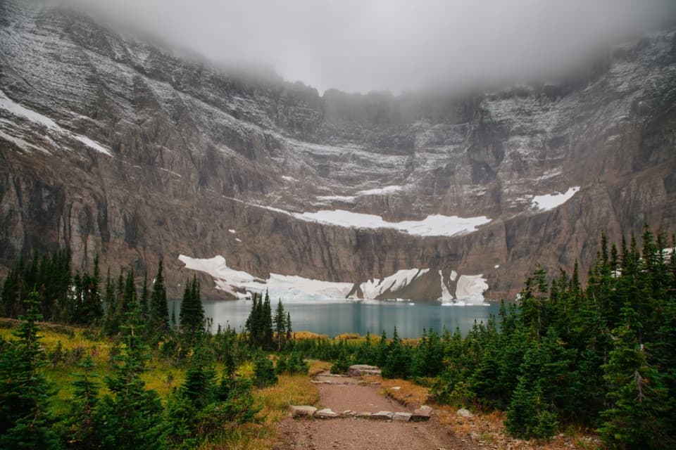 Sight · 7.9 mi awayIceberg LakeTurquoise water under sheer walls, sometimes still dotted with summer ice.
 Sight · 9.3 mi awayApikuni FallsA steep climb to a waterfall beneath Mount Altyn.
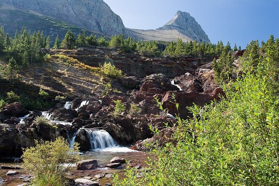 Sight · 9.5 mi awayRedrock FallsA shaded walk opens onto red-rock cascades and a mountain lake.
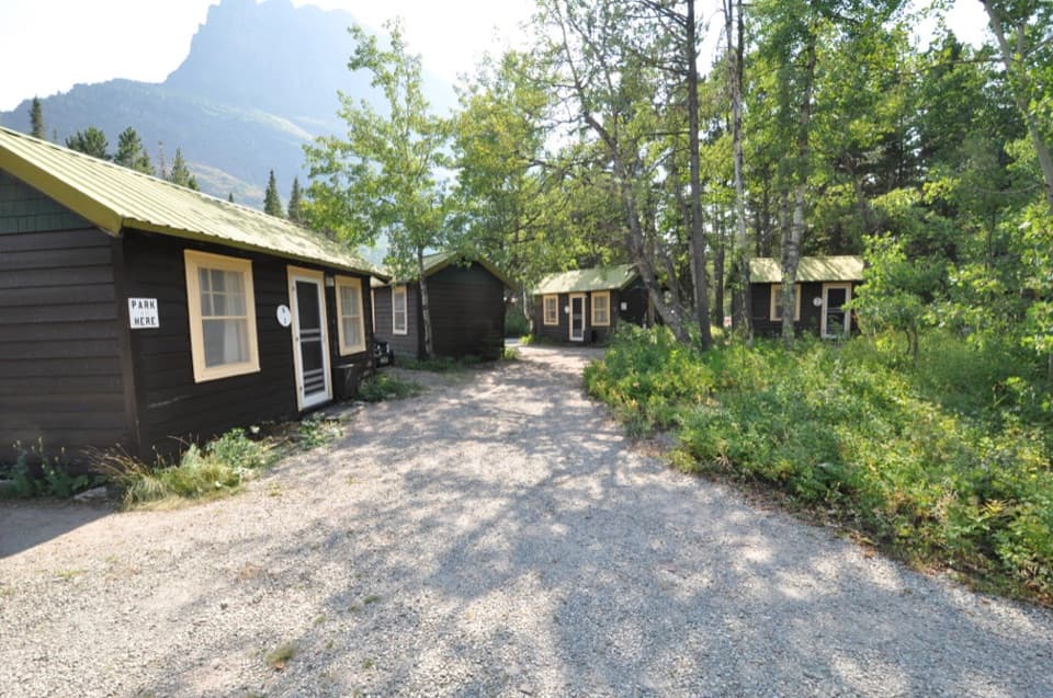 Lodging · 9.7 mi awaySwiftcurrent Motor Inn and CabinsCabins, motel rooms, meals, and supplies close to the hikes.
 Campground · 9.7 mi awayMany Glacier CampgroundA shaded base for east-side hikes, with the inn close by.
Parkwolf’s Glacier ranking
The audio tour guide for the drive, plus offline maps, trails, and wildlife heatmaps for when the signal drops.





