Moderate

Lee Ridge Trail

Quiet ridge walk to big Chief Mountain and Cleveland views
Lee Ridge Trail, Glacier National Park
Distance8.4 mi
Typical time4.5 hr
DifficultyModerate
PetsAllowed

Overview

If you’re chasing solitude with massive front‑range panoramas, Lee Ridge delivers. This remote, moderately challenging ridge walk starts in lodgepole forest and climbs onto open alpine meadows with cairn-guided travel and sweeping views of Chief Mountain, Gable Mountain, and Mount Cleveland. The commonly hiked out-and-back is about 8.4 miles total (many turn around on the ridge before the junction), typically taking around 4.5 hours. The full ridge to the Gable Pass Trail junction is roughly 6.0 miles one way with about 1,600 feet of gain, and you can tack on another 0.3–0.4 miles to reach Gable Pass itself.

Route and Terrain

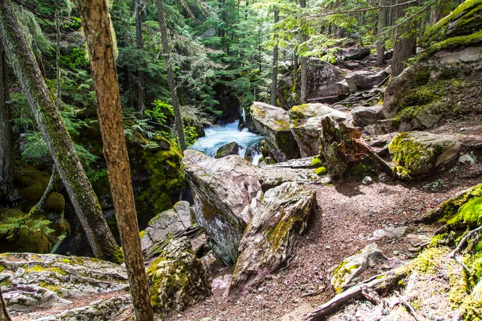
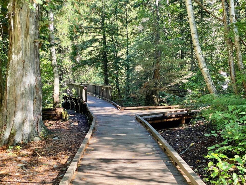
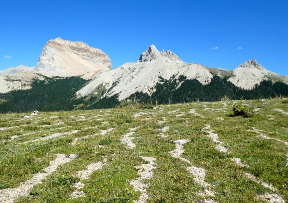
Expect a forested start for roughly the first 3.5–4 miles as you steadily gain elevation through lodgepole pines. Higher up, the trees thin and the trail opens into lush green parks and a broad alpine meadow. Here, the defined tread fades and you follow rock cairns spaced along the ridge to the Gable Pass Trail junction. The route isn’t formally maintained; it’s typically easy to follow but can have blowdowns after storms and intermittent tread in the meadows.

Views and Landmarks

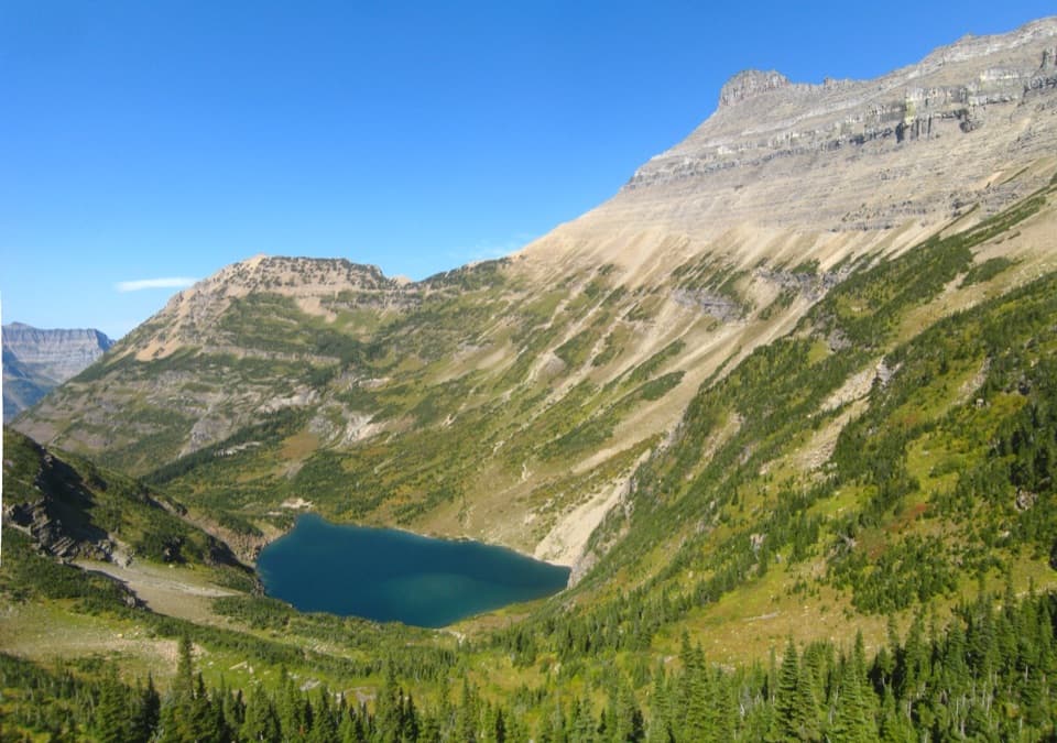
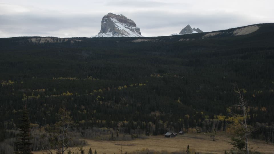
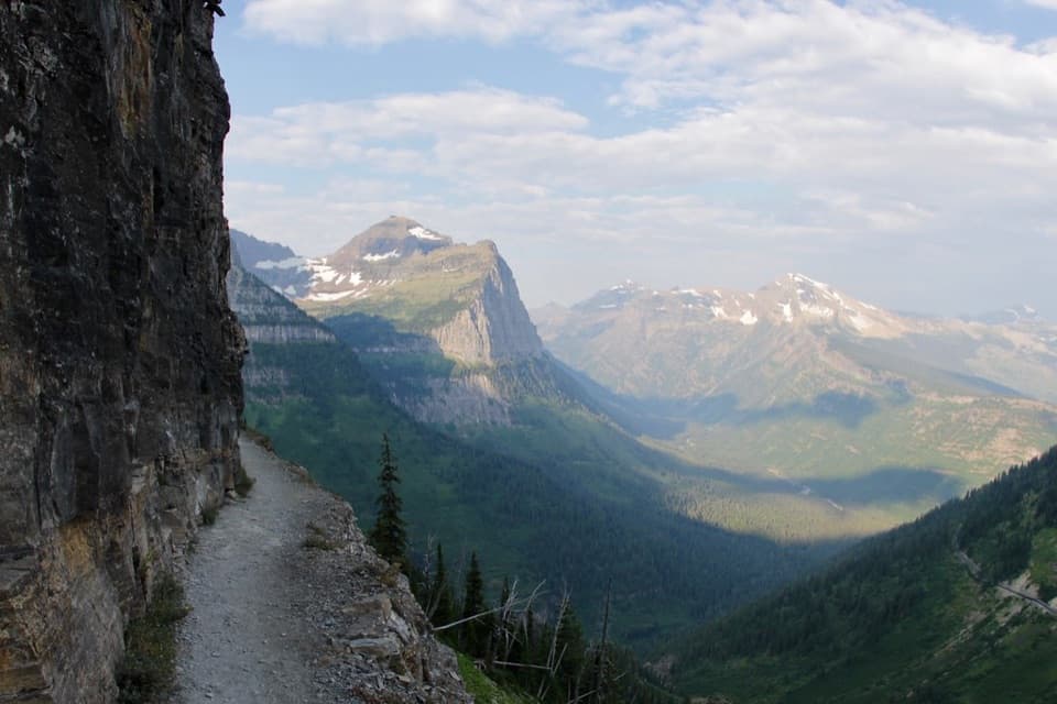
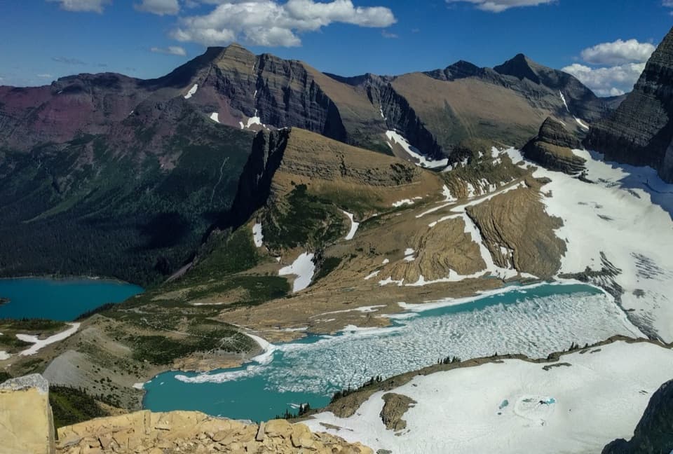
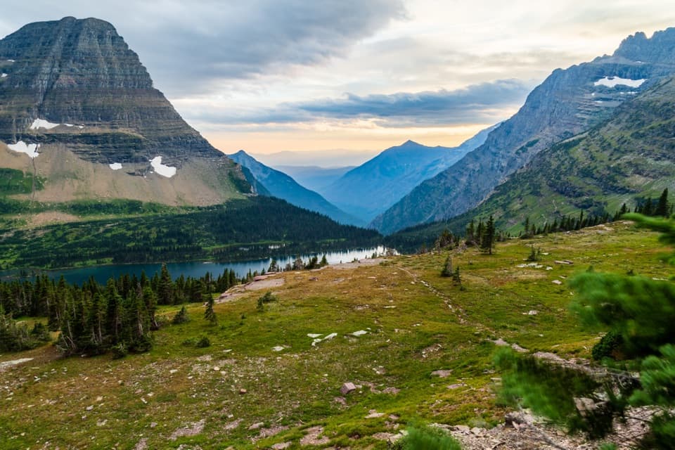
From the open ridge, the views steal the show: to the east, Chief Mountain with Ninaki and Papoose; straight ahead to the south, Gable Mountain; and to the west, Mount Cleveland (the park’s high point) and the Belly River Valley. The ridge’s geology and feel are notably different from much of the park, adding to the sense of being somewhere wilder and off the usual circuit.

Options and Extensions

  • Turnaround anywhere along the ridge for the classic ~8.4‑mile day.
  • Continue to the Gable Pass Trail junction (~6.0 miles one way) and optionally to Gable Pass (~0.3–0.4 miles farther).
  • From Gable Pass, strong navigators can descend east over 1,000–1,500 vertical feet to Slide Lake, or west 2–3 miles into the Belly River Valley near Gable Creek Campground. These are committing extensions in remote country—plan accordingly.

Best Time to Hike

The sweet spot is generally April through September, when the ridge is snow‑free and the alpine meadows shine. Even in summer, lingering snow or sudden weather is possible up high. Weekdays are especially quiet. Cell service is unreliable—download maps before you go.

Getting There

The start is subtle. Look along Chief Mountain Highway near mile 17.8, about 300 yards southeast of the Chief Mountain Customs Trailhead parking area. Park at a small pullout on the north side of the road, then walk east along the south side of the highway roughly 150 yards to a trail sign tucked in the trees. On-the-ground reports also mention beginning on an old wagon road for about 0.5 miles before reaching a signed trail—watch carefully for signage.

Tips and Safety

  • Not a maintained trail: expect occasional blowdowns and sections where the tread disappears—follow cairns on the open ridge and carry offline navigation.
  • Wildlife is part of the experience; a bear encounter has been reported here. Make noise, carry bear spray, and know how to use it.
  • A standard park entrance permit/fee is required even though you won’t pass a booth en route to the trailhead; the nearest fee stations are typically at St. Mary and Many Glacier.
  • This is a remote corner of the park with little traffic—self-reliance matters.

Pros

  • Cairn-guided alpine ridge with uninterrupted big-mountain panoramas
  • Flexible endpoints with a rewarding Gable Pass extension
  • Rare solitude in a dramatic, less-traveled corner of the park

Cons

  • Hard-to-spot trailhead and intermittent tread require careful navigation
  • Unmaintained route with possible blowdowns after storms
  • Long forested approach before the views open up

Parking

Small pullout on the north side of Chief Mountain Highway near mile 17.8, about 300 yards southeast of the Chief Mountain Customs lot; walk ~150 yards east along the south side of the road to a hidden trail sign in the trees.

Caution

Not formally maintained; tread fades in alpine meadows—follow cairns. Expect blowdowns after storms, unreliable cell service, and potential bear encounters. Snow and sudden weather can occur even in summer.

The Parkwolf tour guide sitting on a phone mounted in a car

Parkwolf Tour Guide

Like a tour guide in your car.

Bring Glacier trail research into the car, with offline maps and stories that play as you drive.Download Parkwolf on the App Store