Parking
Sperry Trailhead is across the road from Lake McDonald Lodge.

Glacier National Park, MT
A 4,300-foot climb ends at a historic lookout above Lake McDonald.
Overview
Mount Brown Lookout is a steep out-and-back from Sperry Trailhead to a historic fire tower above Lake McDonald. The lookout is about 5.2 miles one way, so count on 10.4 miles round trip and 4,325 feet of climbing. Allow about 8–9 hours with a break at the top. This is a big, sustained climb, not a quick detour to a viewpoint; choose it when a full day of uphill is part of the appeal. If you start to feel the effort early, turning around before the steep spur is a sensible call.
 Parkwolf’s verdictIs this the hike for you?
Map & elevation
Plan your hike

The highest, rockiest slopes around here are a summer buffet for grizzly bears.
Glacier Tour Guide
Parkwolf is a GPS audio tour guide for Glacier National Park. As you drive, it chimes in with what’s ahead: hidden gems, upcoming stops, history, geology, and wildlife, right through your car’s speakers.
See the Glacier audio tourRecorded for this trailhead
Sperry Trailhead and Chalet“You're approaching Sperry Trailhead, across the road from Lake McDonald Lodge, where the long climb to Sperry Chalet begins.”
Plays as you drive up to this trailhead in the Parkwolf Glacier Tour Guide.
More stories near here in the app
“Our first time to glacier and we used the audio portion for Going to the Sun Road. Wonderful information with perfect advice of what to see and do along the road.”


Trail guide
The trailhead is across the road from Lake McDonald Lodge. Follow the Gunsight Pass corridor through forest; around three-quarters of a mile in, burn traces and more open patches reflect the 2017 Sprague Fire and later tree clearing. At about 1.6 miles, take the Mount Brown branch. The trail continues from here to the lookout, then returns the same way.
The first three-quarters of a mile on Mount Brown Trail is the steepest stretch, climbing nearly 1,000 feet. The grade eases and tightens again as the route climbs through forest. Around mile 2.5, a long huckleberry patch is a good place to stay alert for bears, especially in fall. The trail keeps gaining height before the trees begin to thin and the views start to open.
Near mile 3.9, a sharp bend gives the first broad look down to Lake McDonald, Fish Lake and the surrounding mountains. About a third of a mile later, another turn brings Heavens Peak and the lookout into view. The long climb is still not over, but this is where the destination finally feels close. For a photo, include some of the trail-side trees in the frame with the lake below; they show how high above the valley the route has climbed.
The trail reaches the open ridge around mile 4.8, with less than a quarter-mile left to the two-story Mount Brown Fire Lookout at about 7,487 feet. Its upper deck looks across Lake McDonald and the Lewis Range. The tower dates to the late 1920s and was staffed full time until 1971. Mount Brown’s actual summit rises roughly 1,100 feet higher to the northeast; it is not part of this hike, so treat the lookout as the destination and turnaround.
Sperry Trailhead is across the road from Lake McDonald Lodge. No food, toilet or dependable water stop was confirmed along the route, so plan for the full day without resupply. Dogs are prohibited on Glacier trails. Snow can linger high on the route into early summer, and autumn storms can bring fresh snow; the upper ridge is exposed to wind and cold. Check trail conditions before setting out, especially after snow or a storm.
Wildlife
 404 sightingsGrizzly BearMost seen around 6 AMSighting map
 11 sightingsWolverineMost seen around 8 PMSighting map
 1,173 sightingsMountain GoatMost seen around 6 AMSighting map
 1,000 sightingsBighorn SheepMost seen around 6 AMSighting map
 395 sightingsMooseMost seen around 6 AMSighting map
 506 sightingsBlack BearMost seen around 8 PMSighting map
Sighting maps show where each species has been reported across Glacier. Wildlife moves, so no sighting is guaranteed.
Keep exploring
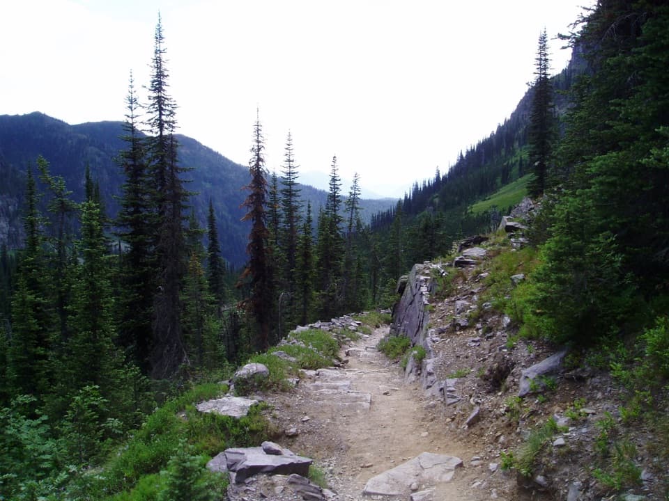 ChallengingSperry Chalet Trail12.6 mi · 9.5 hr · At the trailheadA steep, rocky climb to the stone chalet above Lake McDonald
 ModerateFish Lake Trail5.4 mi · 3.5 hr · At the trailheadA small lily-pad lake, earned with a steady 1,000-foot climb.
 ChallengingSperry Glacier Trail18.4 mi · 11 hr · At the trailheadA long climb to high lakes, a cable-assisted pass, and glacier ice.
 EasyAvalanche Trail5.6 mi · 3 hr · 0.1 mi awayA shaded forest crossing between Lake McDonald and Avalanche Creek.
 ModerateSnyder Lakes Trail8.6 mi · 5.5 hr · 0.1 mi awayA forest climb opens onto talus, meadows, and Lower Snyder Lake.
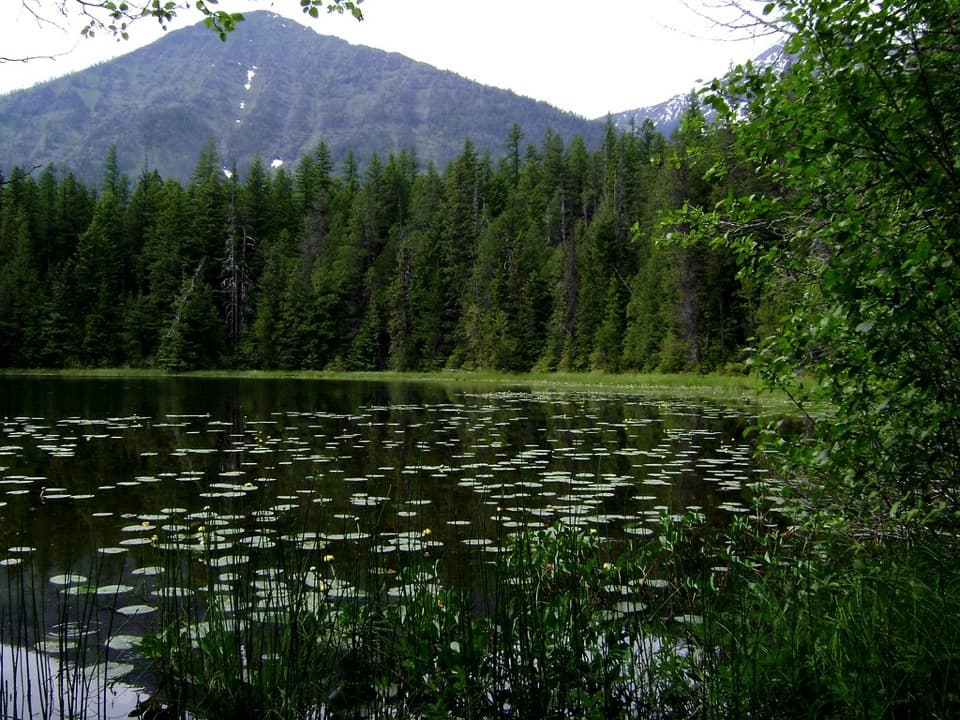 EasyJohns Lake Loop Trail2.6 mi · 1.5 hr · 1.3 mi awayA shady loop reaches a small lake, cascades, and a forest creek.
 ChallengingLincoln Lake Trail16.6 mi · 10 hr · 1.3 mi awayA ridge crossing ends beneath a hanging waterfall.
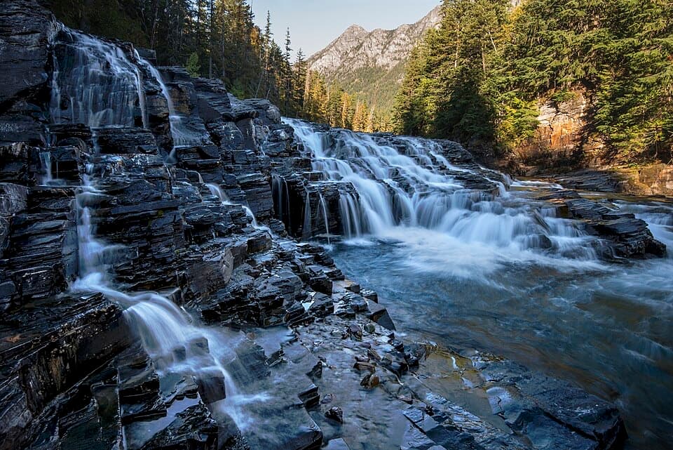 EasyUpper McDonald Creek Trail5.4 mi · 2.5 hr · 1.5 mi awayA gentle creek walk to two cascades and a quiet forest finish.
 Lodging · 0.2 mi awayMotel Lake McDonaldA no-frills stay near Lake McDonald Lodge.
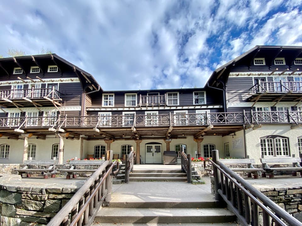 Sight · 0.2 mi awayLake McDonald LodgeA lakeside landmark for boat trips, meals, and its timbered lobby.
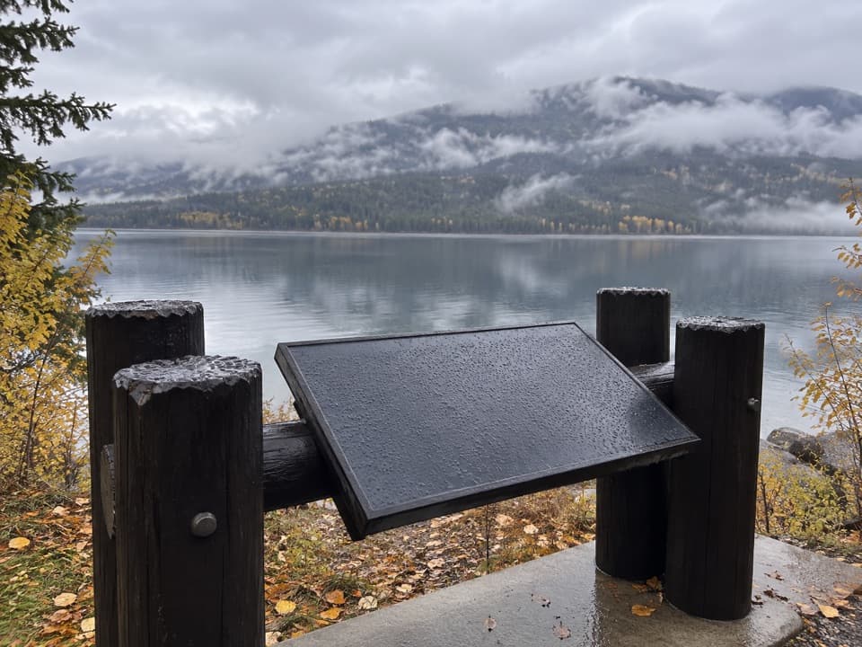 Scenic pullout · 0.5 mi awayNorth Lake McDonald ViewA lakeshore pause where Howe Ridge's fire history comes into view.
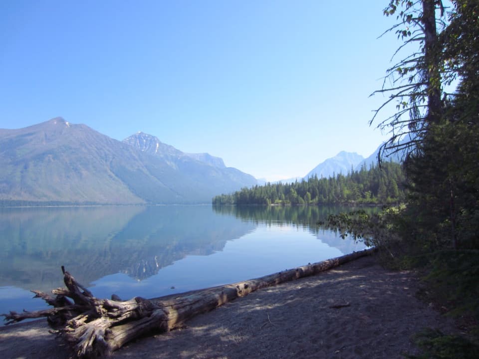 Campground · 0.9 mi awaySprague Creek CampgroundLake McDonald camping beneath cottonwoods, with some open shore views.Picnic area · 0.9 mi awaySprague Creek Picnic AreaA Lake McDonald picnic stop off the Going-to-the-Sun Road.
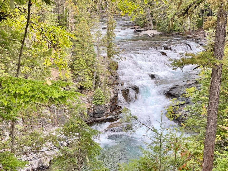 Sight · 1.7 mi awayMcDonald FallsA quick, accessible overlook above McDonald Creek’s blue-green rapids.
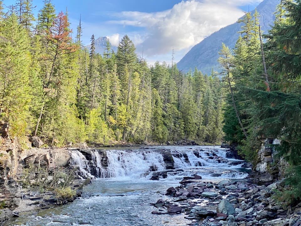 Sight · 2 mi awaySacred Dancing CascadeA quick stop for clear water spilling over layered creek rock.
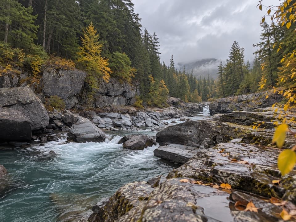 Sight · 3.1 mi awayMcDonald Creek OverlookA close look at Glacier's longest creek system.
Parkwolf’s Glacier ranking
The audio tour guide for the drive, plus offline maps, trails, and wildlife heatmaps for when the signal drops.





