Parking
Sperry Trailhead is across Going-to-the-Sun Road from Lake McDonald Lodge. Parking can be limited; carpool if possible.
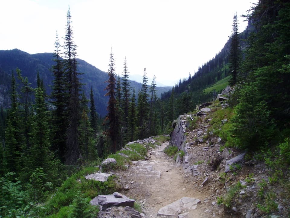
Glacier National Park, MT
A steep, rocky climb to the stone chalet above Lake McDonald
Overview
Map & elevation
Plan your hike

The highest, rockiest slopes around here are a summer buffet for grizzly bears.
Glacier Tour Guide
Parkwolf is a GPS audio tour guide for Glacier National Park. As you drive, it chimes in with what’s ahead: hidden gems, upcoming stops, history, geology, and wildlife, right through your car’s speakers.
See the Glacier audio tourRecorded for this trailhead
Sperry Trailhead and Chalet“You're approaching Sperry Trailhead, across the road from Lake McDonald Lodge, where the long climb to Sperry Chalet begins.”
Plays as you drive up to this trailhead in the Parkwolf Glacier Tour Guide.
More stories near here in the app
“Our first time to glacier and we used the audio portion for Going to the Sun Road. Wonderful information with perfect advice of what to see and do along the road.”


Trail guide
Sperry Chalet Trail is a 12.6-mile out-and-back from Sperry Trailhead, across Going-to-the-Sun Road from Lake McDonald Lodge, to Sperry Chalet and back. The climb is about 6.3 miles one way, gaining roughly 3,430 feet to an alpine ledge at 6,580 feet. Allow 9 to 11 hours with stops. The draw is a full change in scenery: forest, a major fire scar, creek crossings, an alpine basin, and a historic backcountry chalet. This is a strenuous all-day hike, and the return covers the same steep ground downhill. This mileage stops at the chalet; it does not include the separate continuation to Sperry Glacier or Gunsight Pass.
The trail starts opposite Lake McDonald Lodge and climbs quickly through cedar, hemlock, and larch. Horses use the lower trail too, so expect to share the tread. Around three-quarters of a mile in, you enter sections burned by the 2017 Sprague Fire. The forest has less shade there, but the open patches give you a better look up the valley. Near 1.6 miles, pass the Mount Brown and Snyder Lakes spurs and stay on the main route toward Sperry.
A footbridge at Crystal Ford crosses Snyder Creek and makes a good place to pause before the harder upper climb. From there, the route works through the Sprague Creek drainage. An opening gives you a view of Beaver Medicine Falls, but the trail does not descend to the falls' base. Keep going: the chalet first appears high on the slope, and the switchbacks above the falls give a better look back across the valley.
Near Glacier Basin, watch for the route split. Bear right across Sprague Creek, then take the right branch for the chalet; the left continuation climbs toward Comeau Pass and Sperry Glacier. Those junctions are easy to miss, so check your map before carrying on. The basin opens into meadow below cliffs streaked with waterfalls, a sharp change from the forested lower miles.
Sperry Chalet sits near treeline on a ledge above Lake McDonald, with the Whitefish Range and surrounding peaks in view. The stone dining building was built in 1913 and the main buildings opened the following year. The 2017 Sprague Fire consumed the wooden dormitory; the National Park Service stabilized the stone walls and rebuilt the dormitory over the next two years. The chalet returned to full service in 2020. This is one of Glacier's two remaining backcountry chalets.
Sperry Trailhead is across Going-to-the-Sun Road from Lake McDonald Lodge, and parking can be limited. Carpool if you can. The chalet is a seasonal backcountry facility; the National Park Service lists dining, snacks, potable water, and restrooms there, but check current operating information before relying on them. Pets are not allowed on this backcountry route.
Wildlife
 404 sightingsGrizzly BearMost seen around 6 AMSighting map
 11 sightingsWolverineMost seen around 8 PMSighting map
 1,173 sightingsMountain GoatMost seen around 6 AMSighting map
 1,000 sightingsBighorn SheepMost seen around 6 AMSighting map
 395 sightingsMooseMost seen around 6 AMSighting map
 506 sightingsBlack BearMost seen around 8 PMSighting map
Sighting maps show where each species has been reported across Glacier. Wildlife moves, so no sighting is guaranteed.
Keep exploring
 ChallengingMount Brown Lookout Trail10.4 mi · 8.5 hr · At the trailheadA 4,300-foot climb ends at a historic lookout above Lake McDonald.
 ModerateFish Lake Trail5.4 mi · 3.5 hr · At the trailheadA small lily-pad lake, earned with a steady 1,000-foot climb.
 ChallengingSperry Glacier Trail18.4 mi · 11 hr · At the trailheadA long climb to high lakes, a cable-assisted pass, and glacier ice.
 EasyAvalanche Trail5.6 mi · 3 hr · 0.1 mi awayA shaded forest crossing between Lake McDonald and Avalanche Creek.
 ModerateSnyder Lakes Trail8.6 mi · 5.5 hr · 0.1 mi awayA forest climb opens onto talus, meadows, and Lower Snyder Lake.
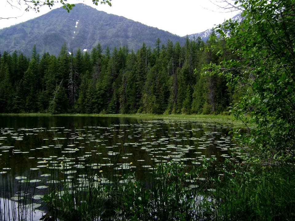 EasyJohns Lake Loop Trail2.6 mi · 1.5 hr · 1.3 mi awayA shady loop reaches a small lake, cascades, and a forest creek.
 ChallengingLincoln Lake Trail16.6 mi · 10 hr · 1.3 mi awayA ridge crossing ends beneath a hanging waterfall.
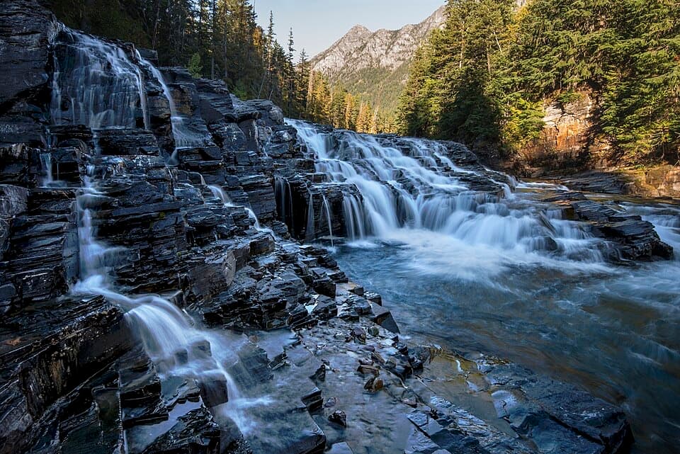 EasyUpper McDonald Creek Trail5.4 mi · 2.5 hr · 1.5 mi awayA gentle creek walk to two cascades and a quiet forest finish.
 Lodging · 0.2 mi awayMotel Lake McDonaldA no-frills stay near Lake McDonald Lodge.
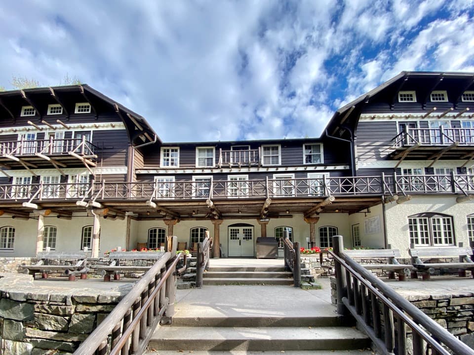 Sight · 0.2 mi awayLake McDonald LodgeA lakeside landmark for boat trips, meals, and its timbered lobby.
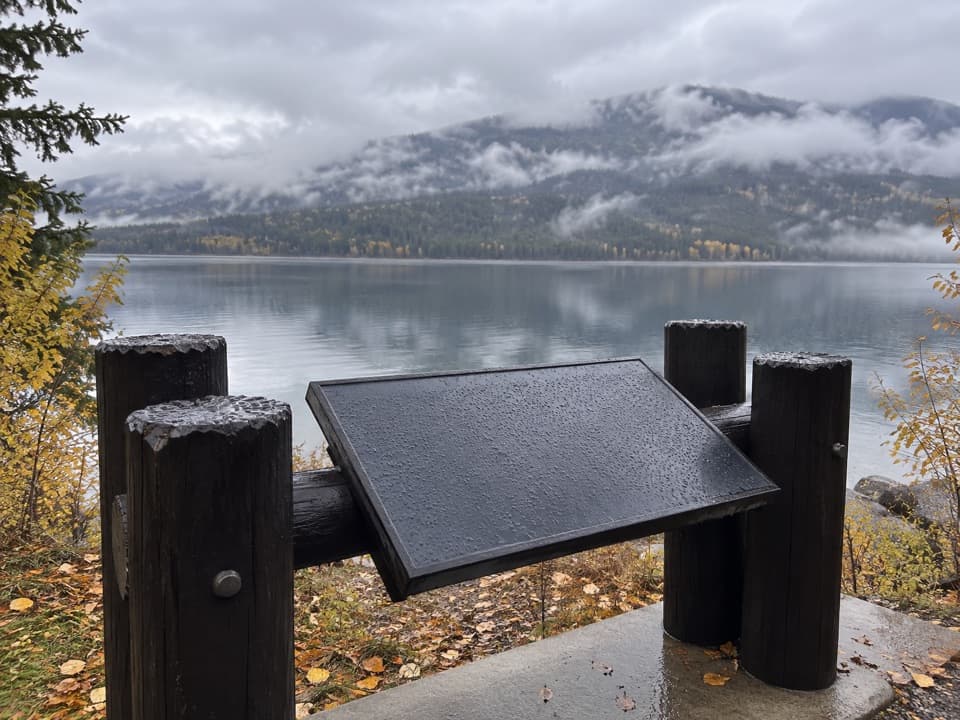 Scenic pullout · 0.5 mi awayNorth Lake McDonald ViewA lakeshore pause where Howe Ridge's fire history comes into view.
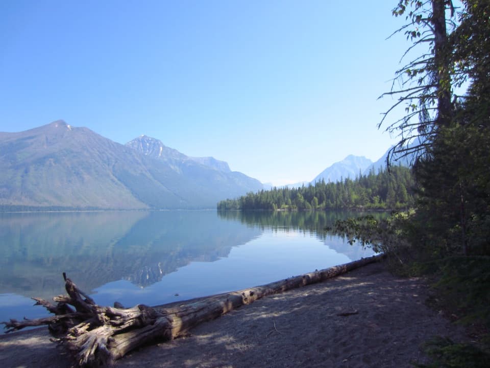 Campground · 0.9 mi awaySprague Creek CampgroundLake McDonald camping beneath cottonwoods, with some open shore views.Picnic area · 0.9 mi awaySprague Creek Picnic AreaA Lake McDonald picnic stop off the Going-to-the-Sun Road.
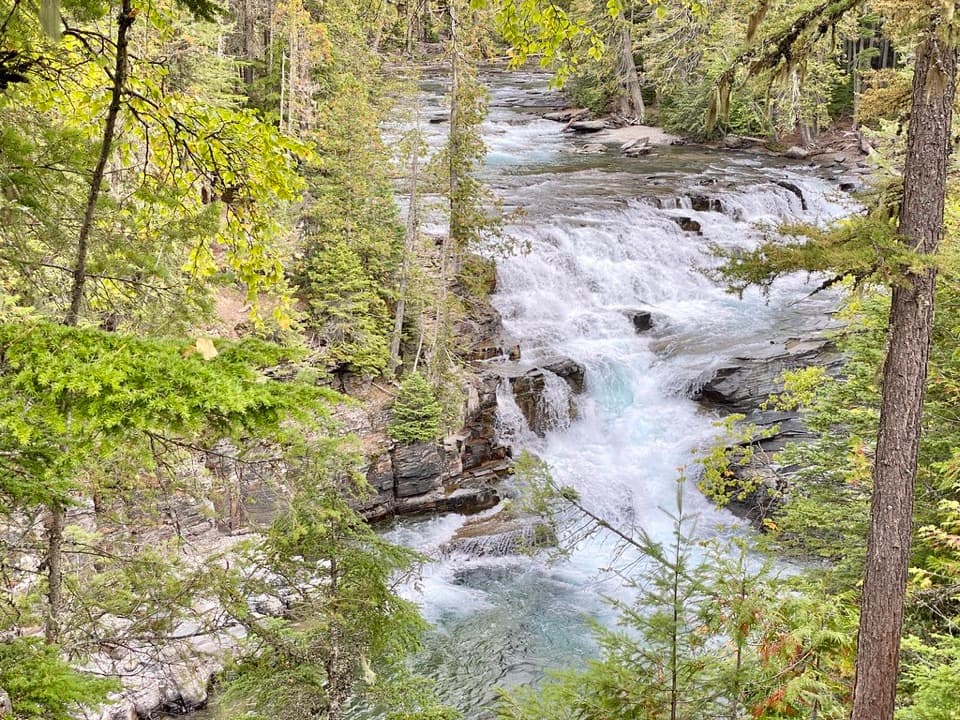 Sight · 1.7 mi awayMcDonald FallsA quick, accessible overlook above McDonald Creek’s blue-green rapids.
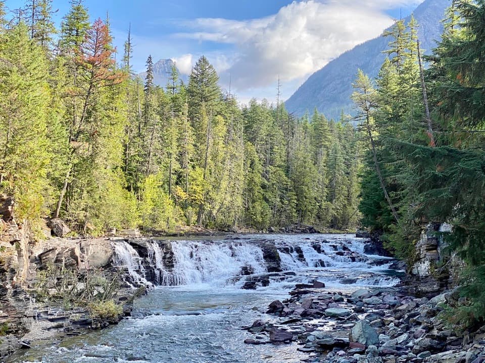 Sight · 2 mi awaySacred Dancing CascadeA quick stop for clear water spilling over layered creek rock.
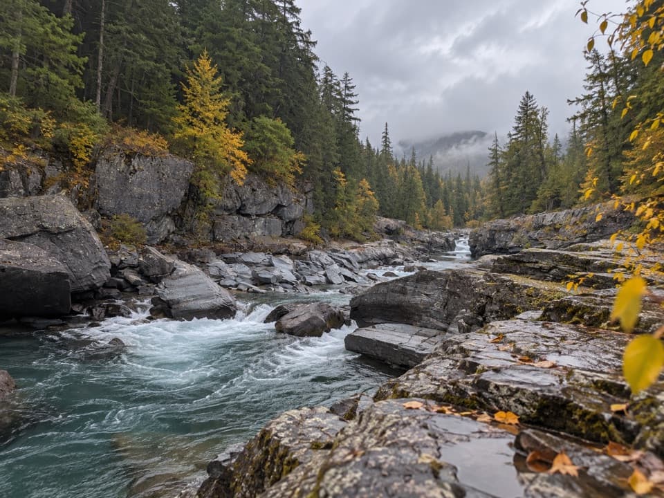 Sight · 3.1 mi awayMcDonald Creek OverlookA close look at Glacier's longest creek system.
Parkwolf’s Glacier ranking

The audio tour guide for the drive, plus offline maps, trails, and wildlife heatmaps for when the signal drops.





